

© Lech Zürs Tourismus GmbH - Lech Zuers Tourismus GmbH

© Lech Zürs Tourismus GmbH - Lech Zuers Tourismus GmbH

© Lech Zürs Tourismus GmbH - Lech Zuers Tourismus GmbH

© Lech Zürs Tourismus GmbH - Lech Zuers Tourismus GmbH

- Breve descripción
-
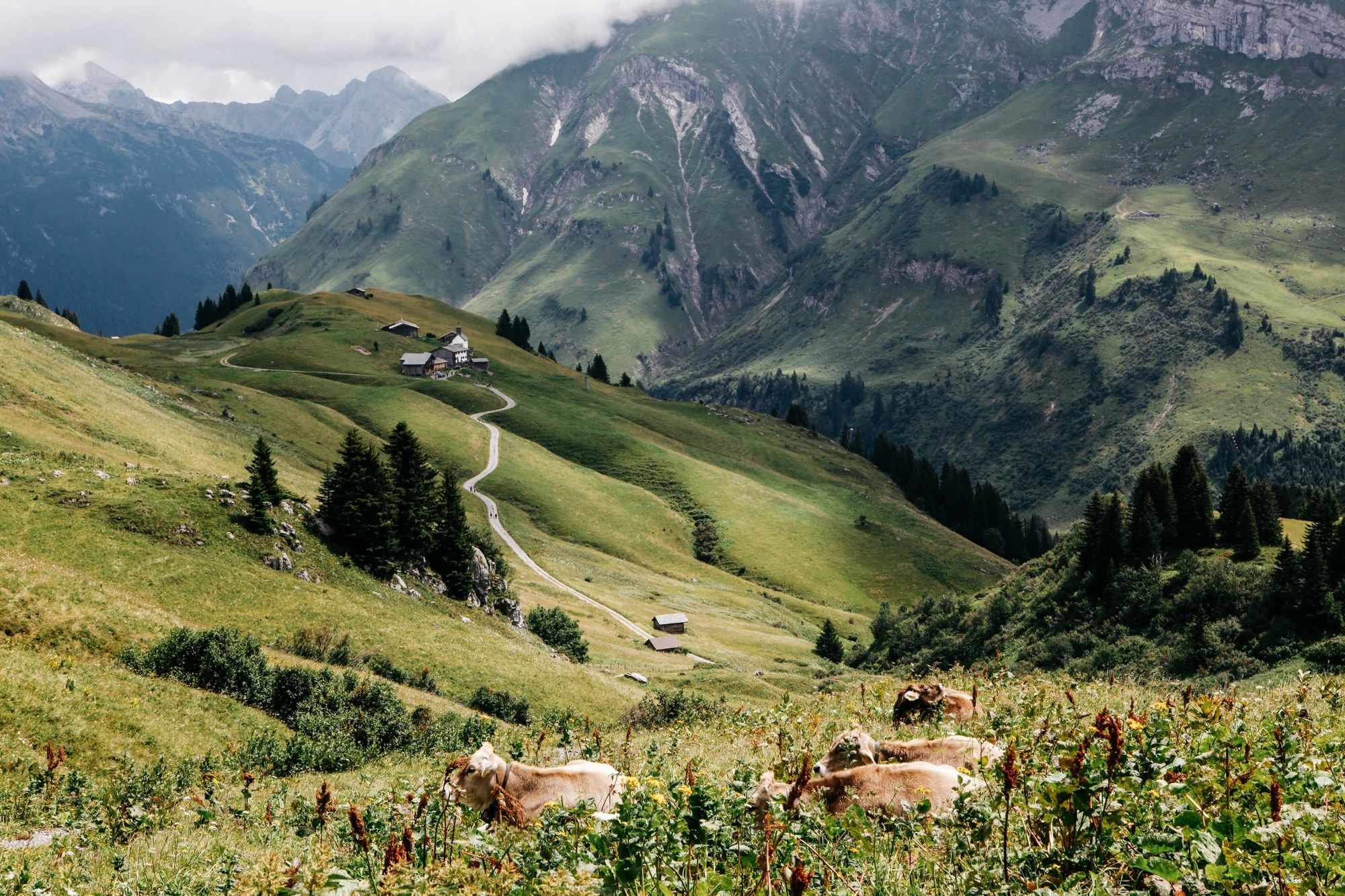
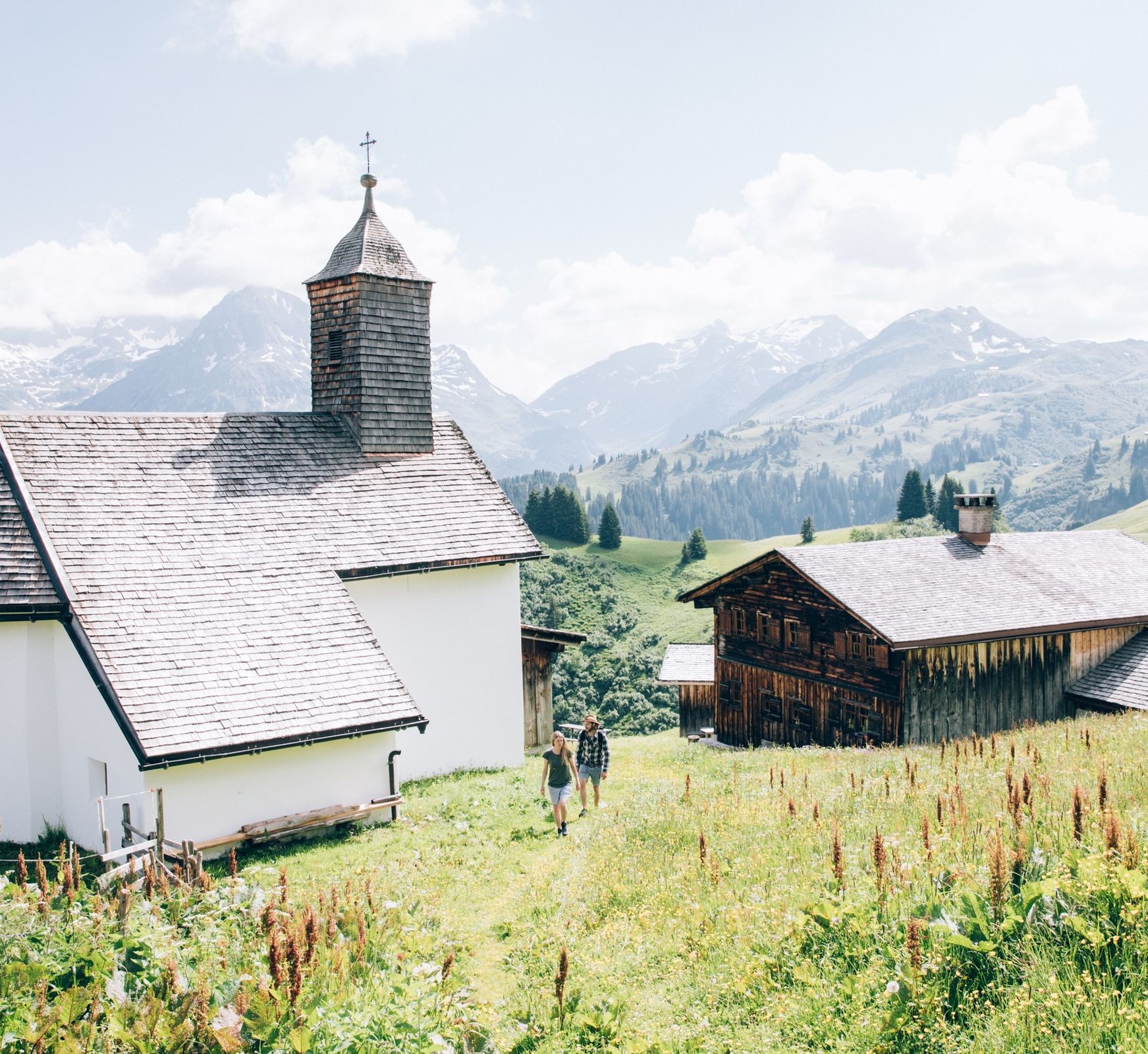
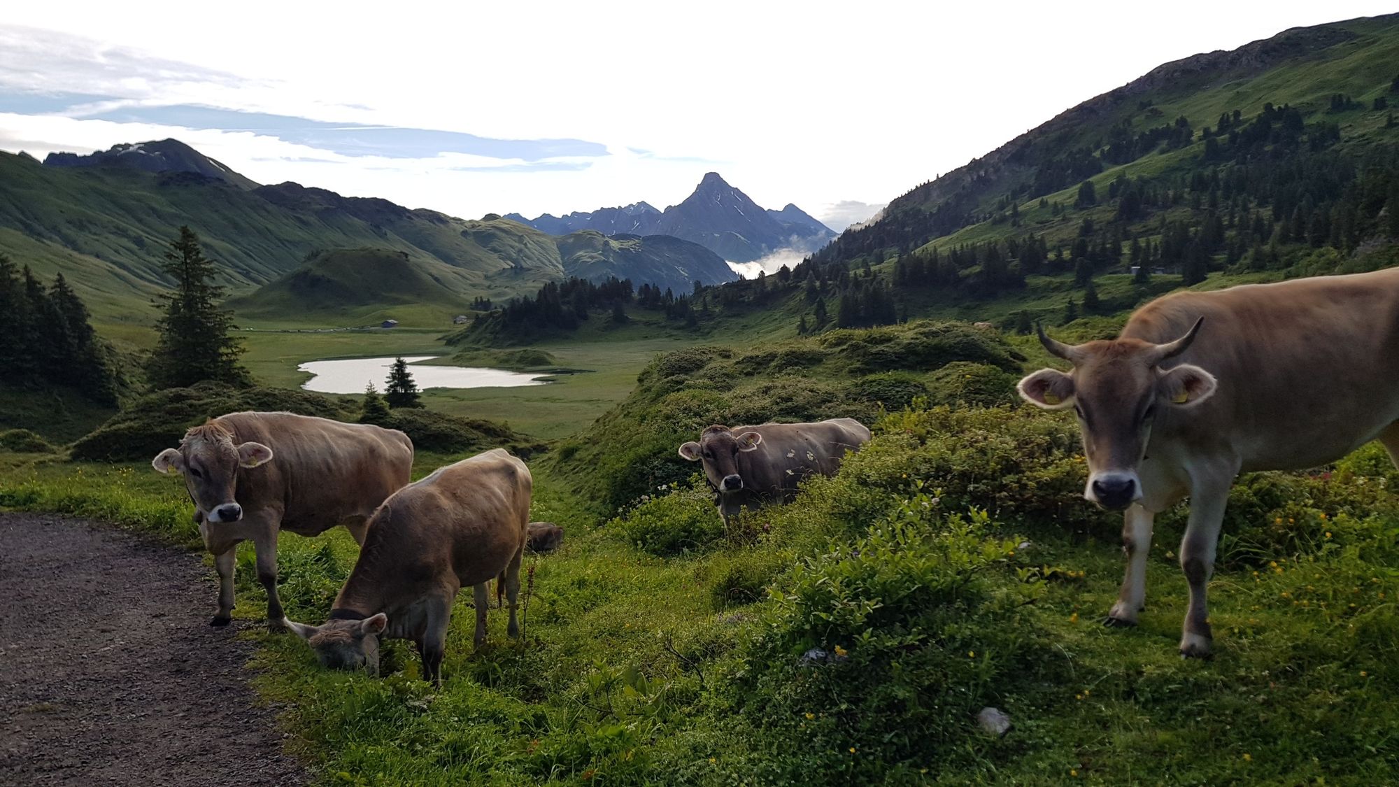
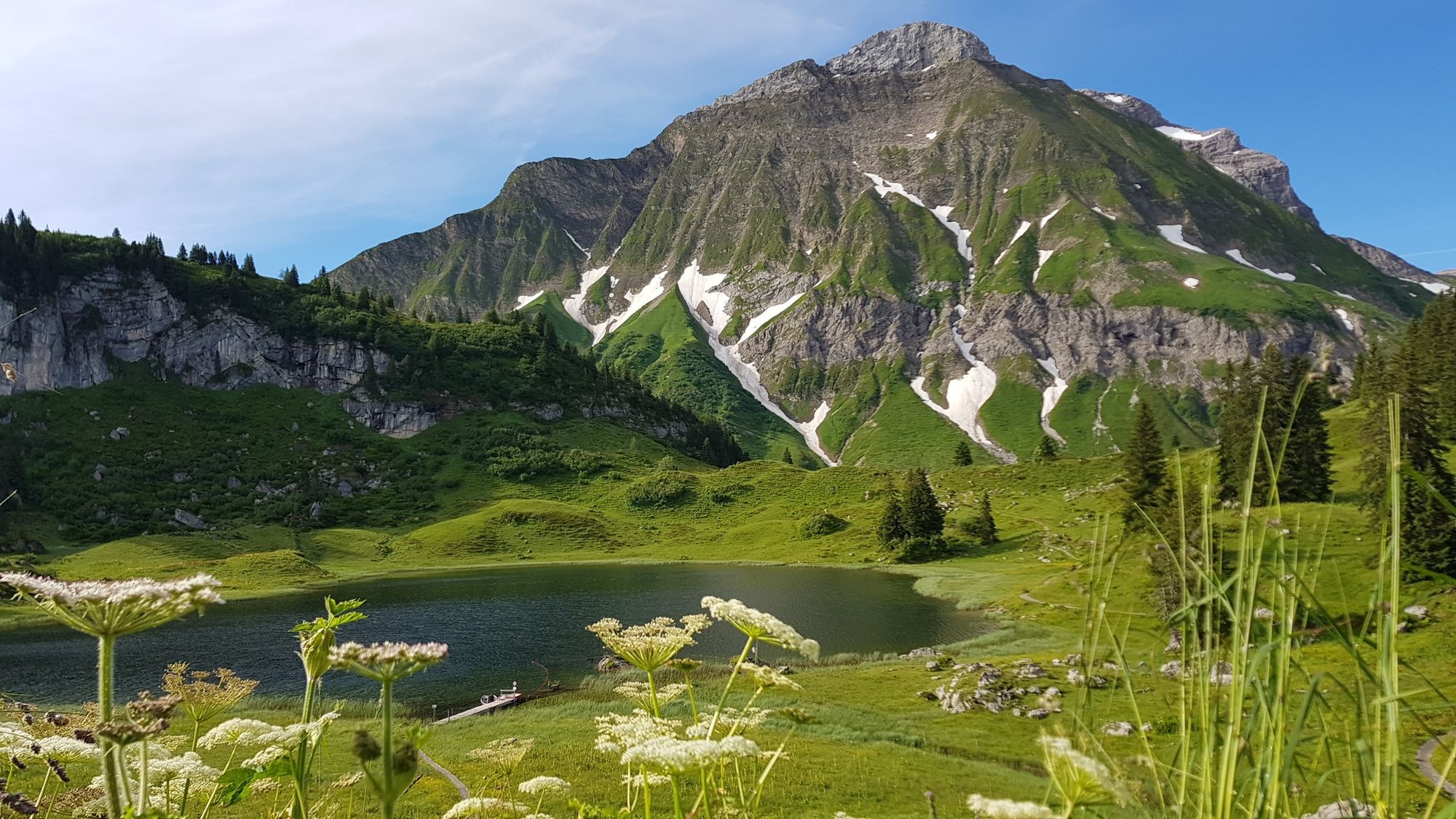
This varied hike takes you through the beautiful natural and cultural landscape of the Tannberg hiking region.
- Dificultad
-
medio
- Valoración
-
- Ruta
-
Untere Auenfeldalpe3,8 km
- La mejor temporada
-
enefebmarabrmayjunjulagosepoctnovdic
- Punto álgido
- 1.789 m
- Punto final
-
Bushaltestelle "Hochkrumbach"
- Perfil alto
-

-

-
AutorLa gira Tannberg es utilizado por outdooractive.com proporcionado.
GPS Downloads


Información general
Punto de avituallamiento
Cultural/Histórico
Vistas panorámicas
Más circuitos por las regiones


