

© Alpenregion Bludenz Tourismus GmbH - Melanie Fleisch

© Alpenregion Bludenz Tourismus GmbH - Melanie Fleisch

© Alpenregion Bludenz Tourismus GmbH - Melanie Fleisch

© Alpenregion Bludenz Tourismus GmbH - Melanie Fleisch

© Vorarlberg Tourismus GmbH

- Breve descripción
-
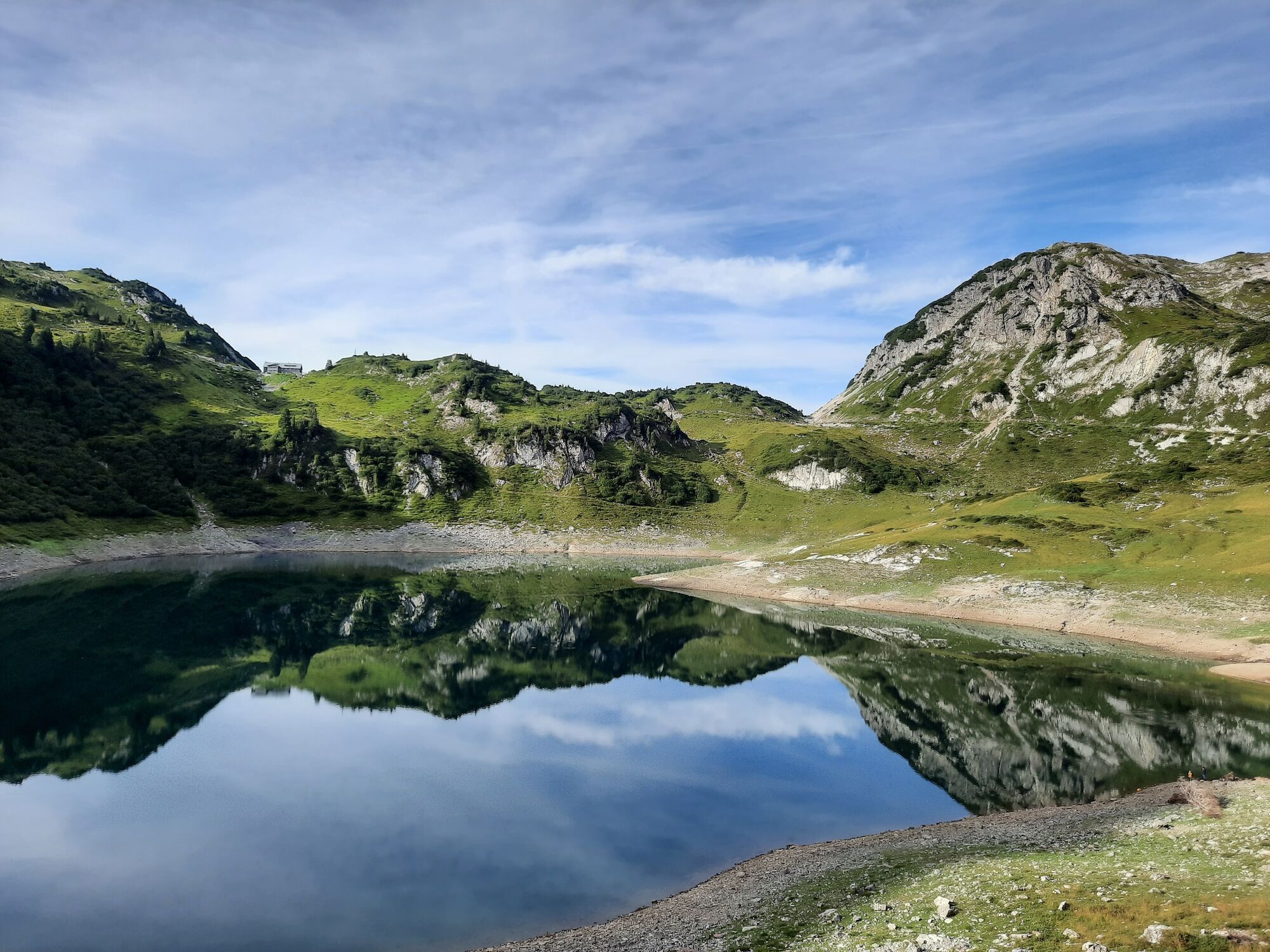
Leisurely hike at alpine heights around the Formarinsee lake with a view of the mighty Rote Wand.
- Dificultad
-
fácil
- Valoración
-
- Ruta
-
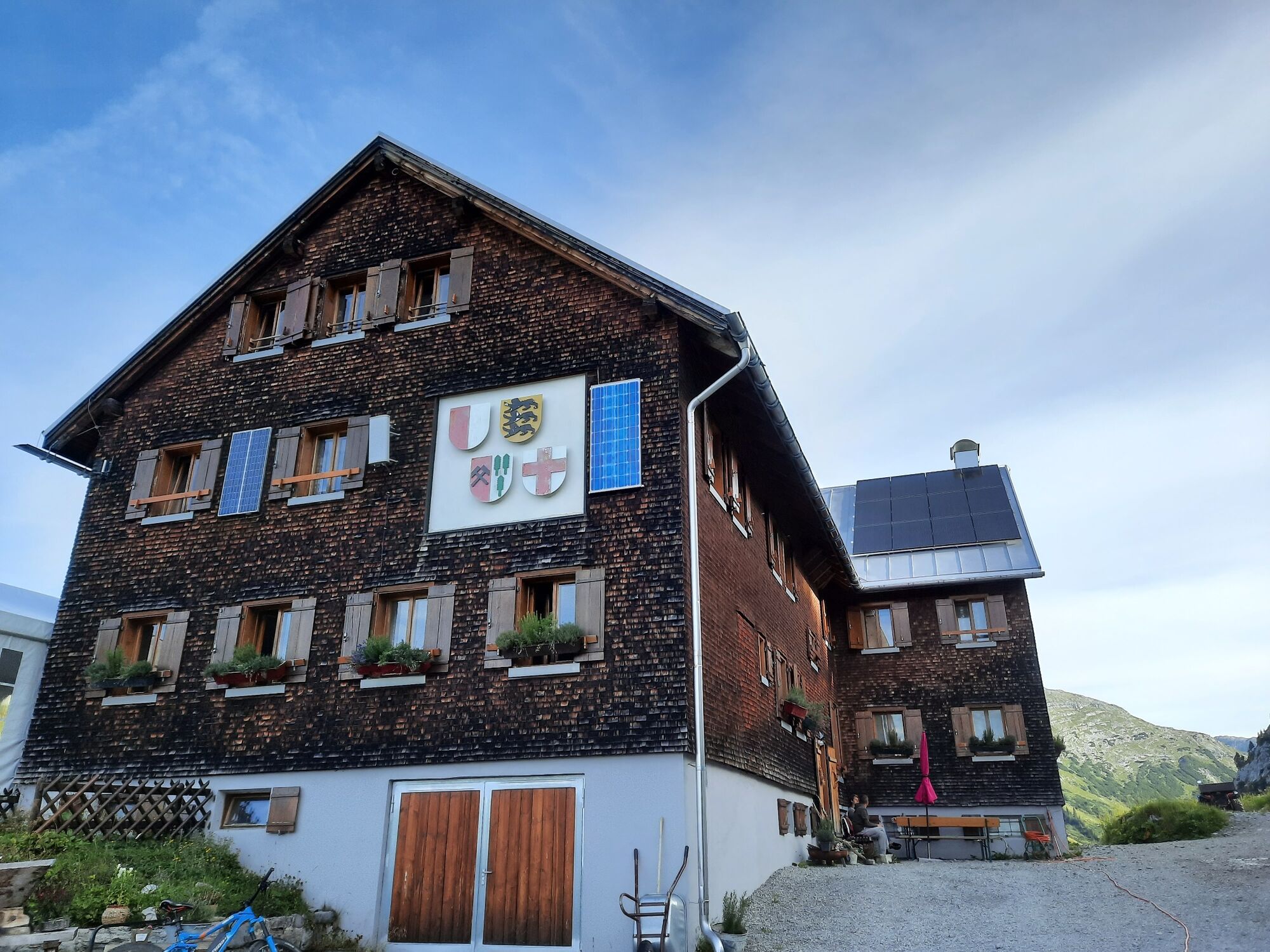
Freiburger Hütte2,3 km
- La mejor temporada
-
enefebmarabrmayjunjulagosepoctnovdic
- Punto álgido
- 1.914 m
- Punto final
-
Bus stop Alpe Formarin
- Perfil alto
-


- Autor
-
La gira Around the Formarinsee | Dalaas es utilizado por outdooractive.com proporcionado.
GPS Downloads


Información general
Punto de avituallamiento
Vistas panorámicas
Más circuitos por las regiones
-
Klostertal
1788
-
Dalaas / Wald am Arlberg
466


