

© Alpenregion Bludenz Tourismus GmbH - Thorsten Guenthert / www.best-mountain-artists.de

© Alpenregion Bludenz Tourismus GmbH - Thorsten Guenthert / www.best-mountain-artists.de

© Alpenregion Bludenz Tourismus GmbH - Thorsten Guenthert / www.best-mountain-artists.de

© Alpenregion Bludenz Tourismus GmbH - Melanie Fleisch

© Alpenregion Bludenz Tourismus GmbH - Thorsten Guenthert / www.best-mountain-artists.de

© Vorarlberg Tourismus GmbH
- Breve descripción
-
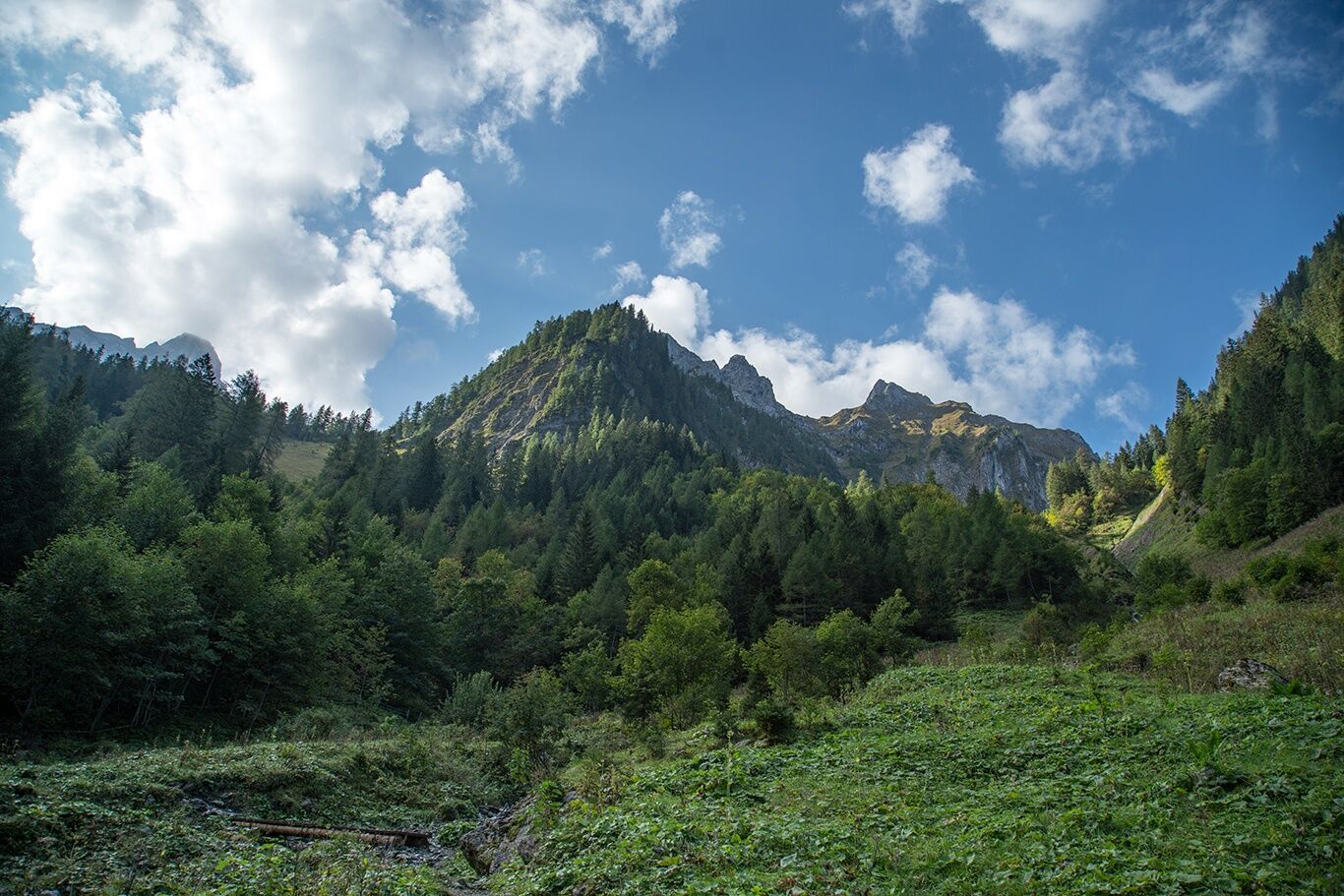
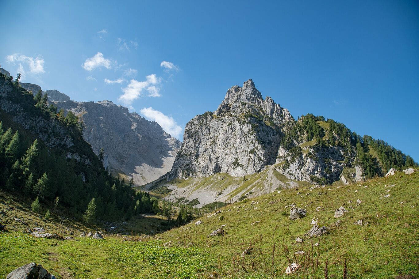
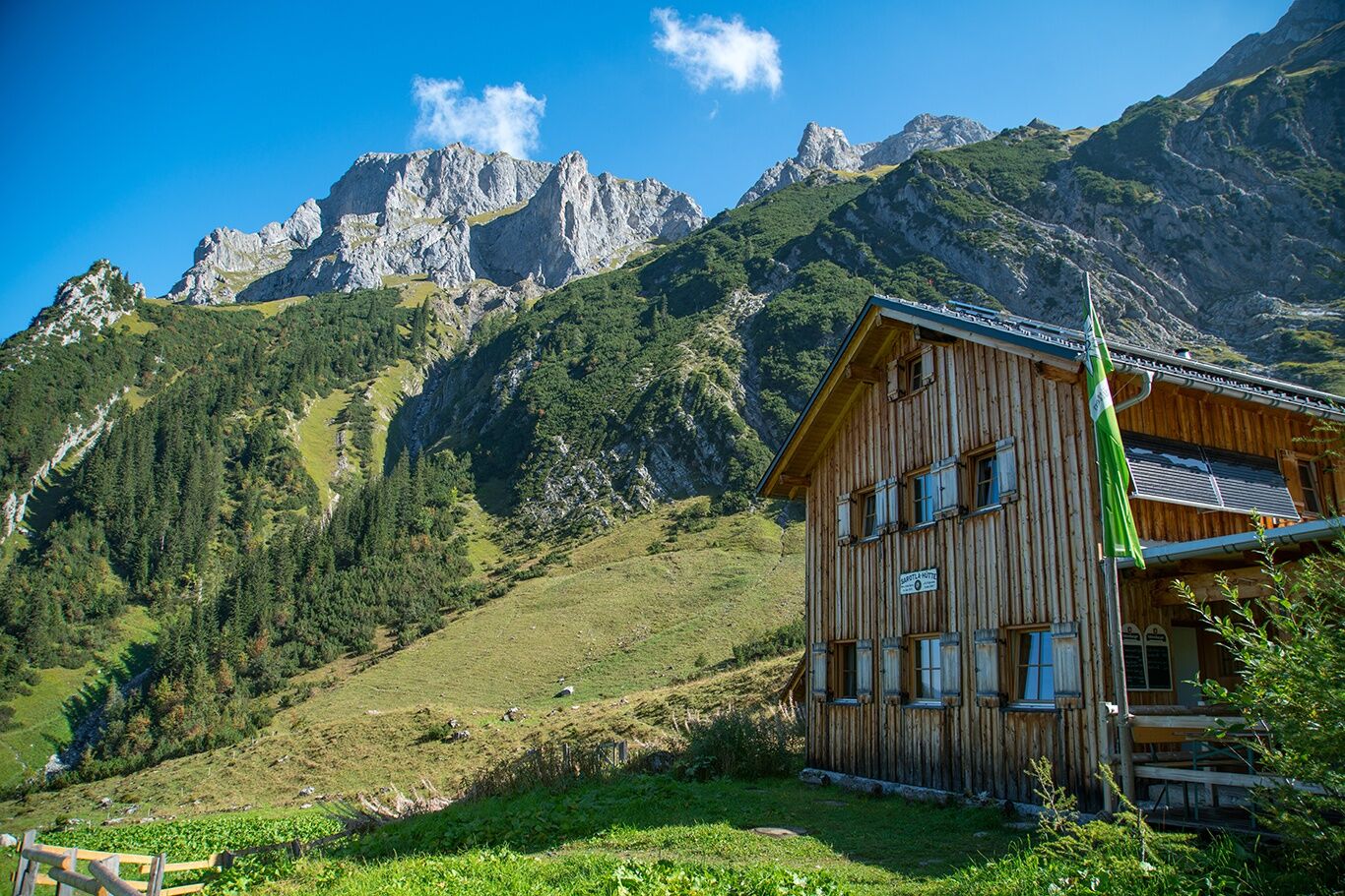
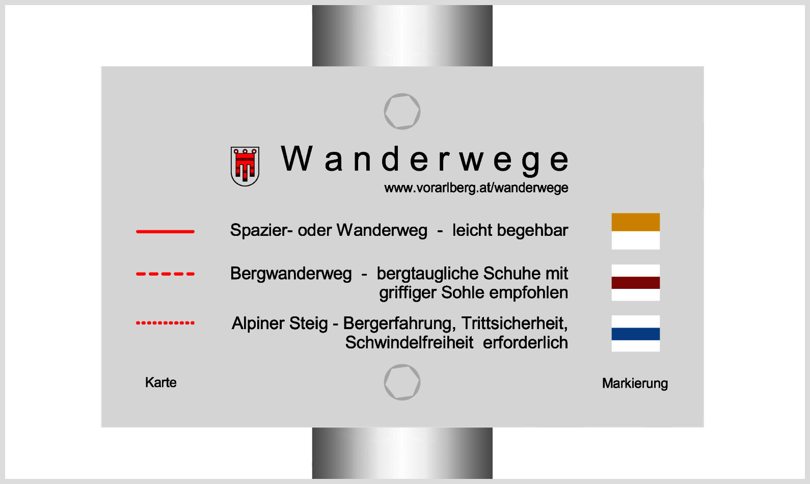
At the foot of the Zimba, the Zwölferkopf and the Gottvaterspitze lies the rustic Sarotla Hut at the end of the Sarotla Valley.
- Dificultad
-
medio
- Valoración
-
- Ruta
-
Sarotlahütte5,5 km
- La mejor temporada
-
enefebmarabrmayjunjulagosepoctnovdic
- Punto álgido
- 1.602 m
- Punto final
-
Village center, Brand
- Perfil alto
-


- Autor
-
La gira To the Sarotla Hut | Brand es utilizado por outdooractive.com proporcionado.
GPS Downloads


Información general
Punto de avituallamiento
Vistas panorámicas
Más circuitos por las regiones
-
Heidiland
2200
-
Brandnertal
1568
-
Brand
431


