© Bregenzerwald Tourismus - Alex Kaiser

© Bregenzerwald Tourismus - Alex Kaiser

© Bregenzerwald Tourismus - Alex Kaiser

© Bregenzerwald Tourismus - Alex Kaiser

© Bregenzerwald Tourismus - Alex Kaiser

© Bregenzerwald Tourismus - Johannes Fink

© Hittisau Tourismus - Veronika Piazza

© Bregenzerwald Tourismus - Nadine Lerho

© Bregenzerwald Tourismus - Alex Kaiser

© Community - Elisabeth Sohm

- Breve descripción
-
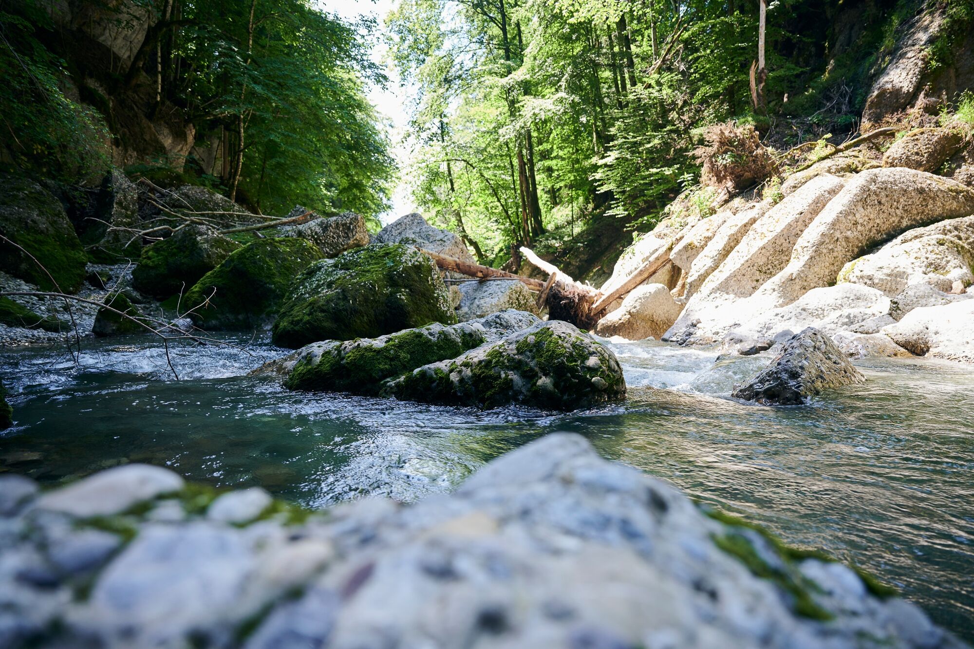
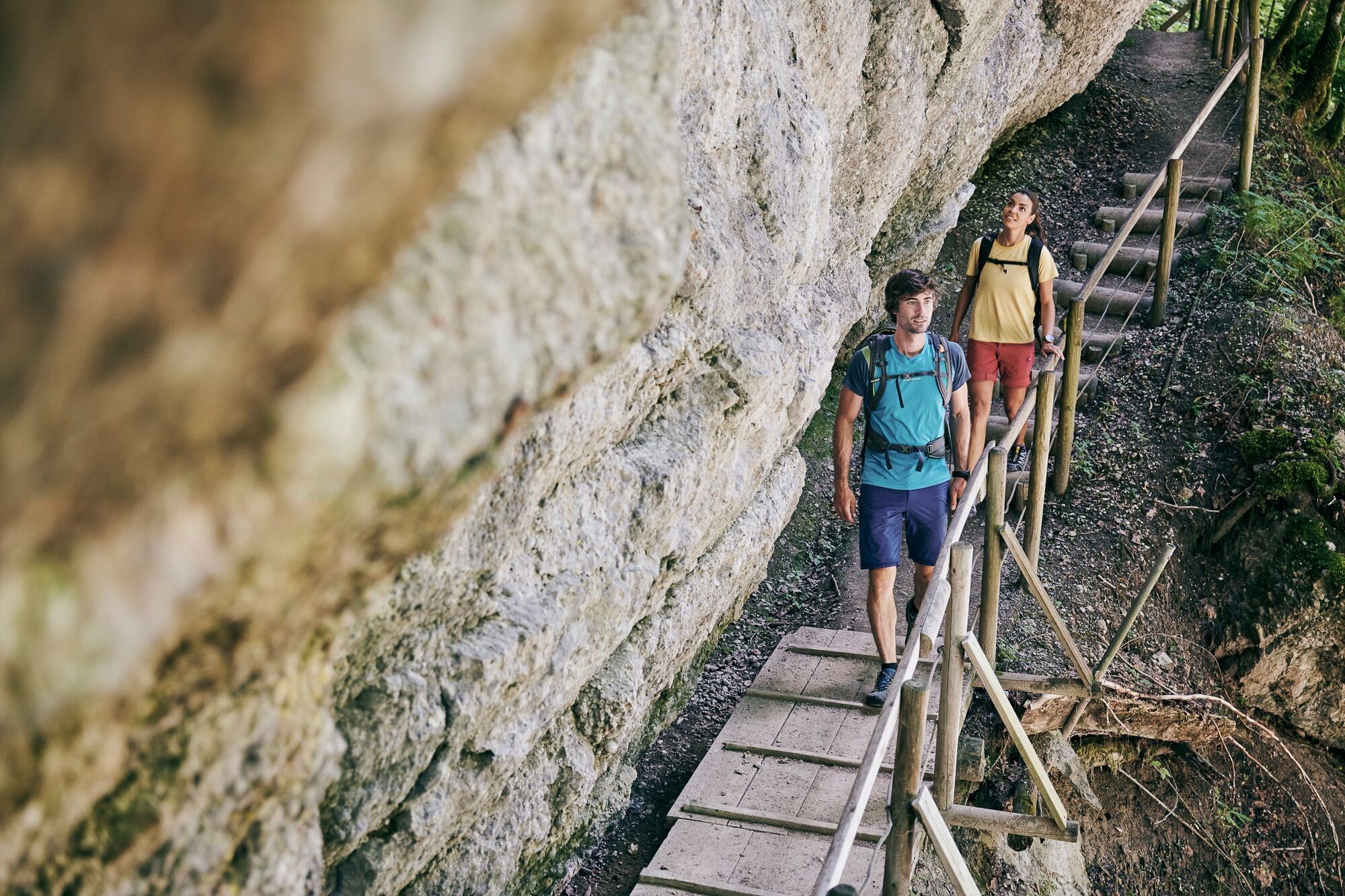
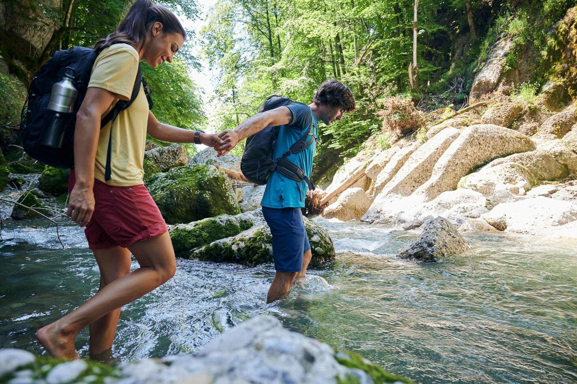
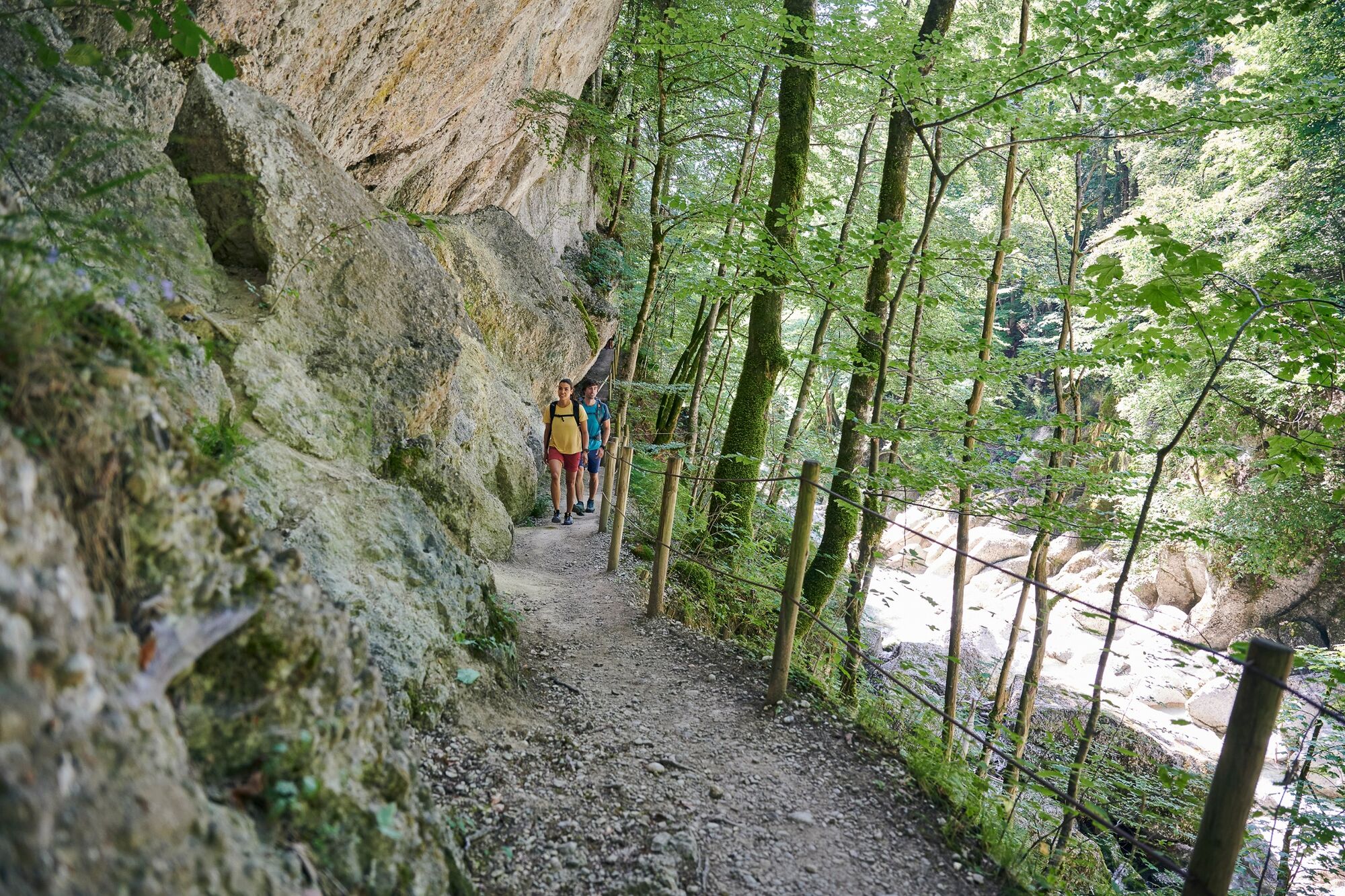
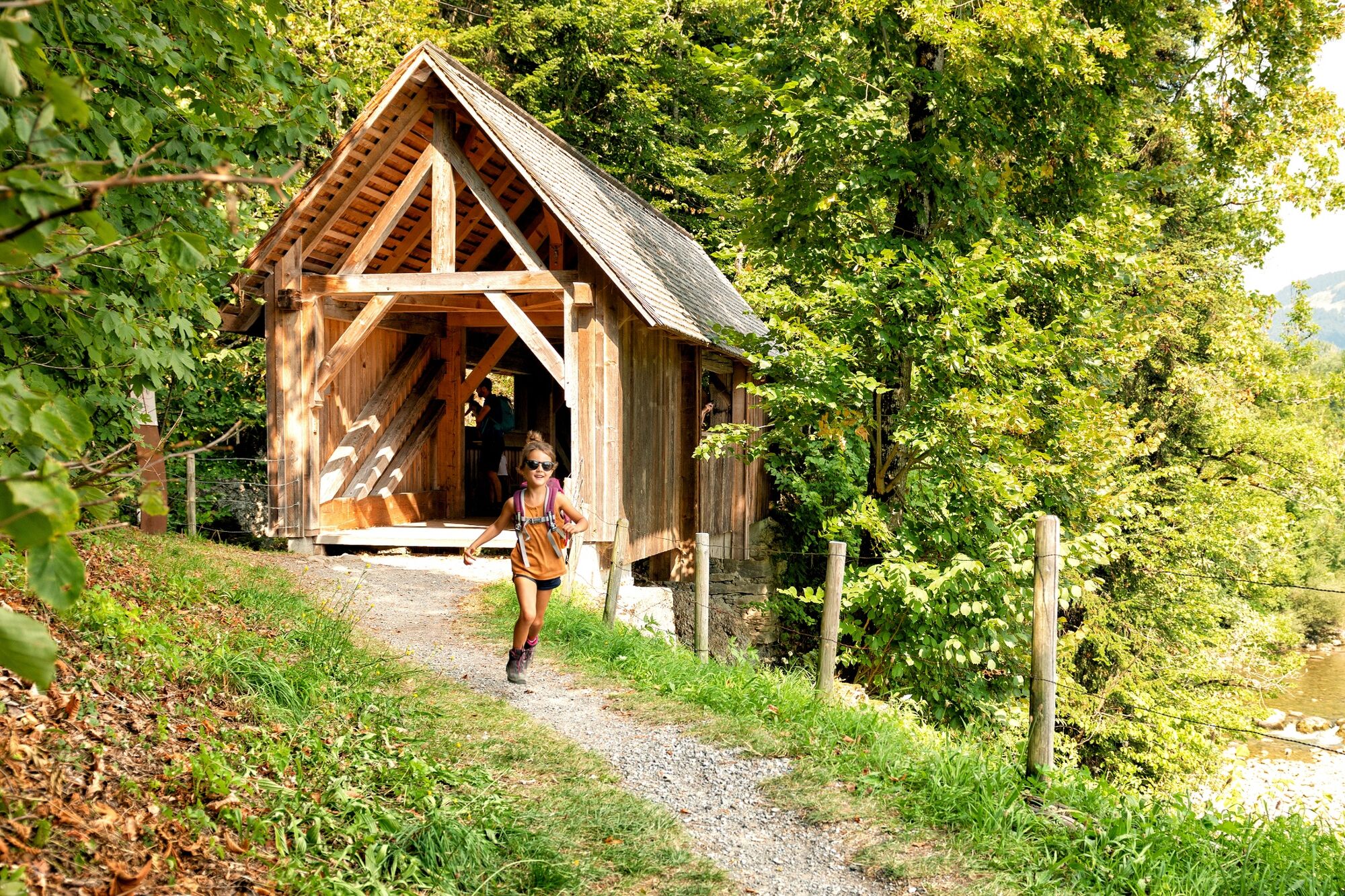
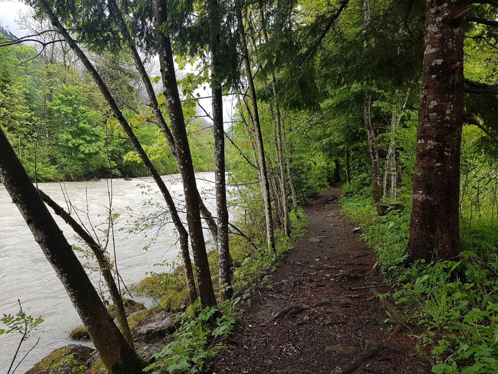
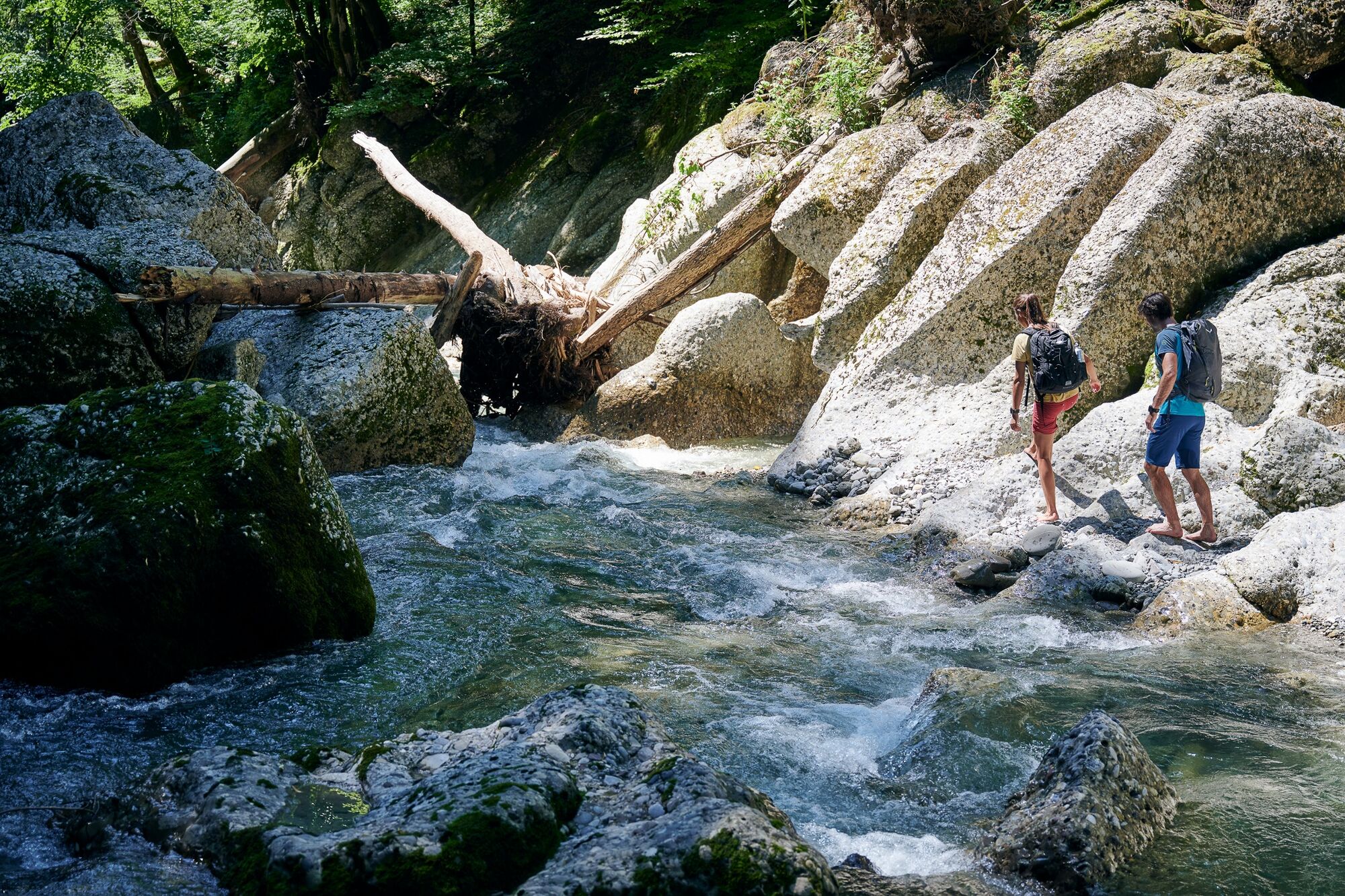
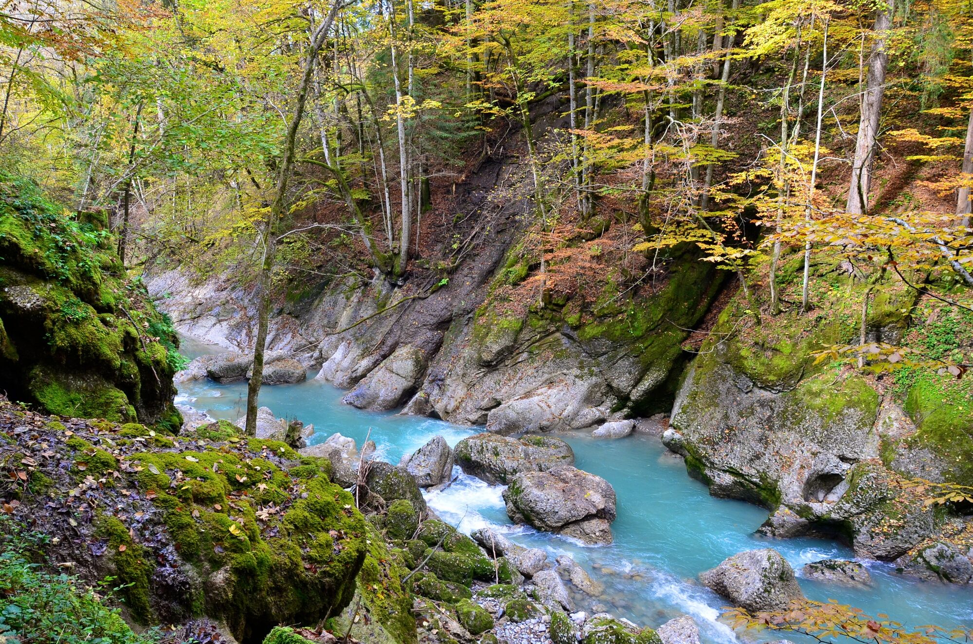
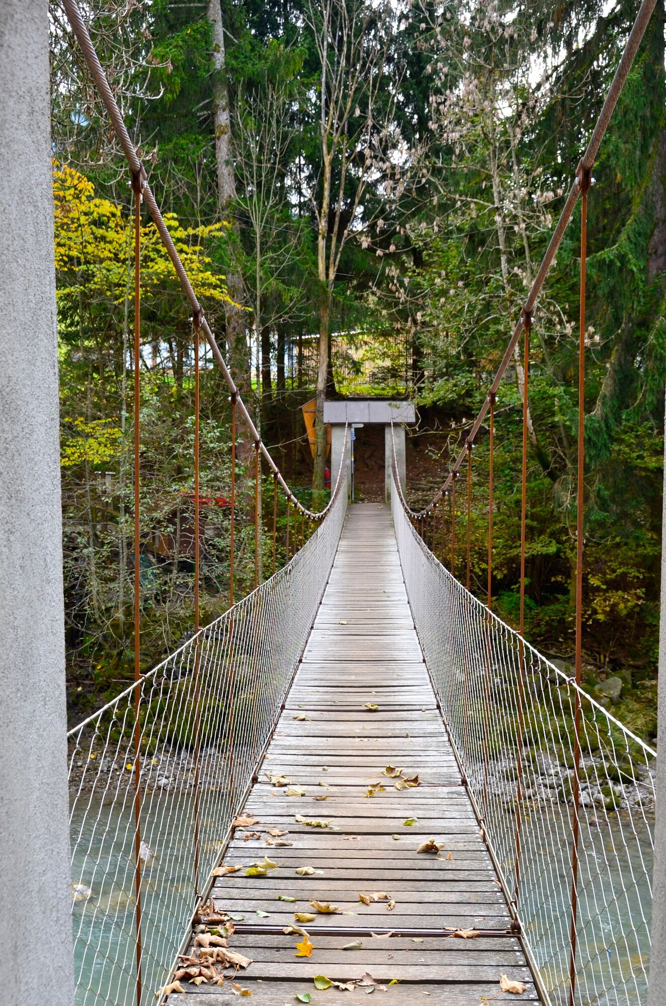
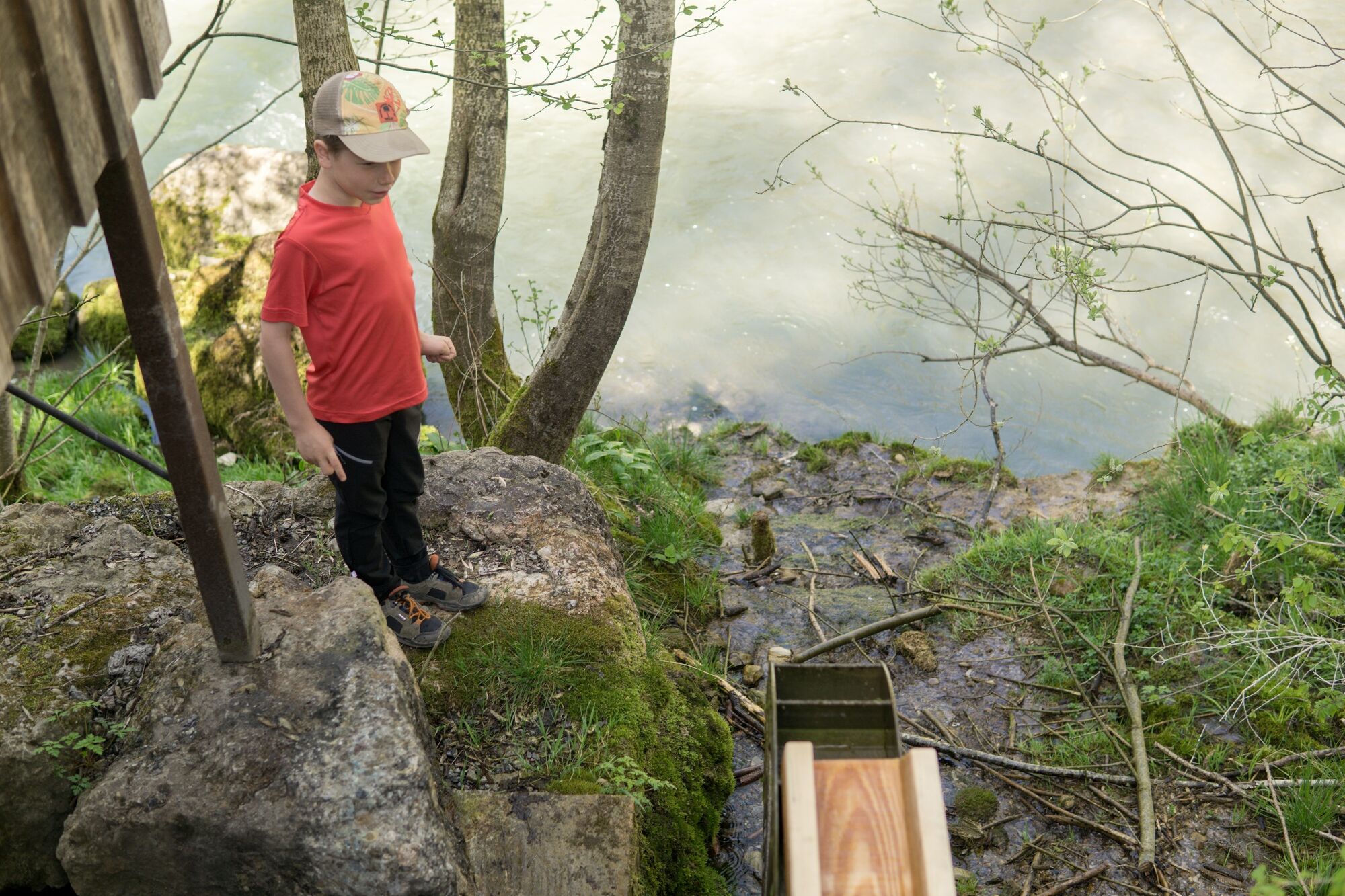
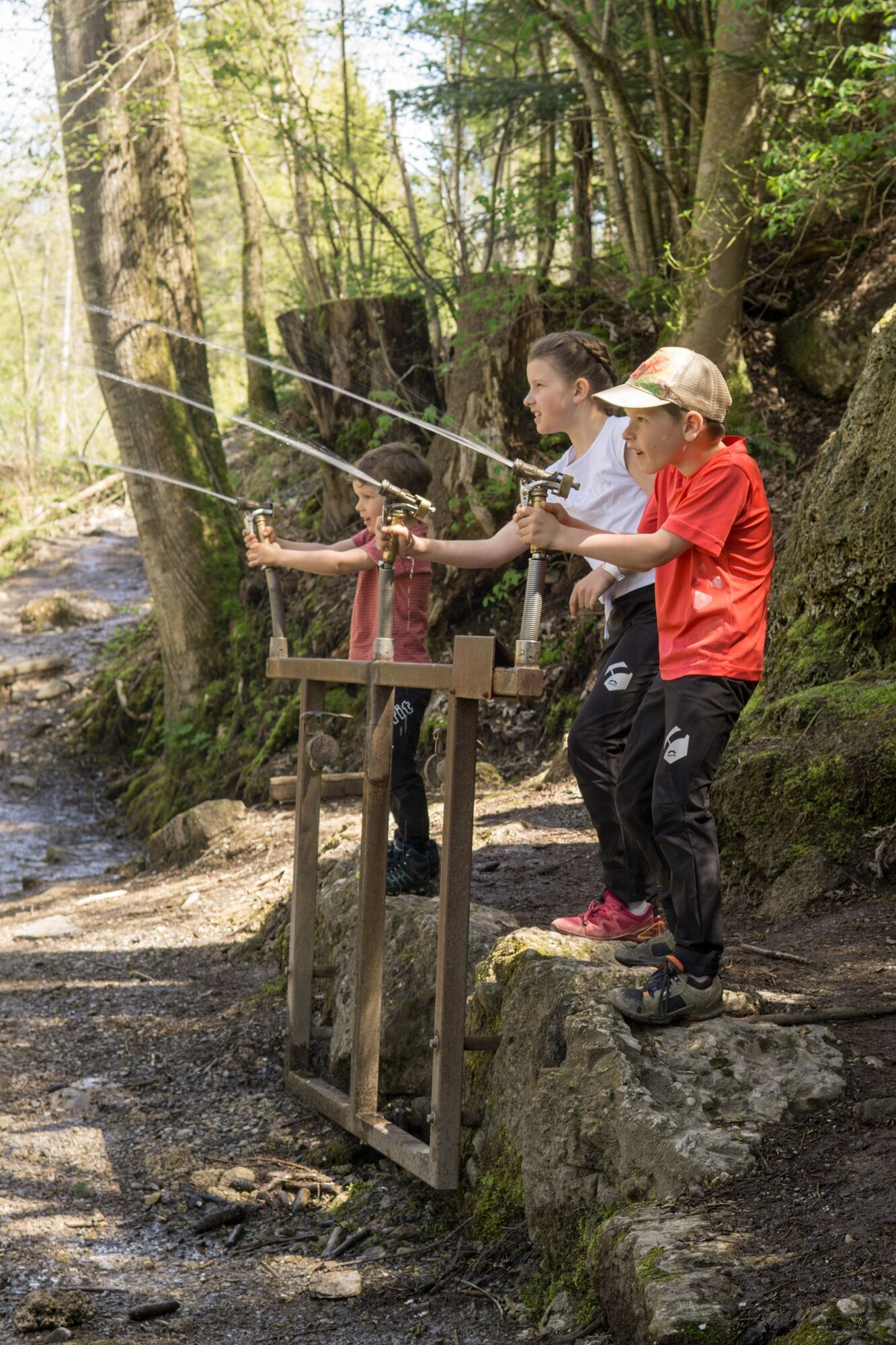
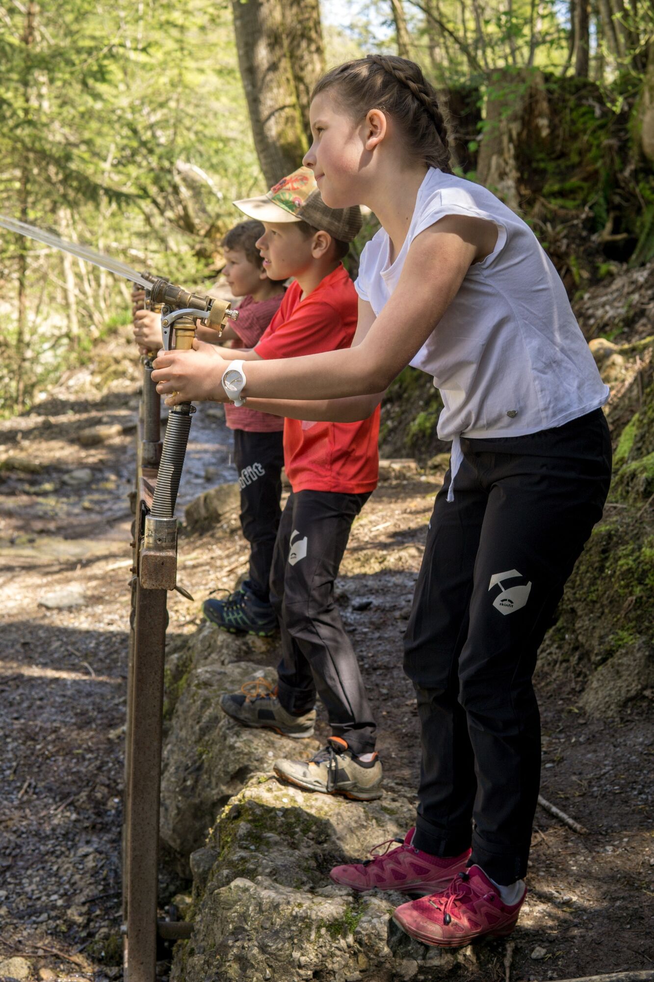
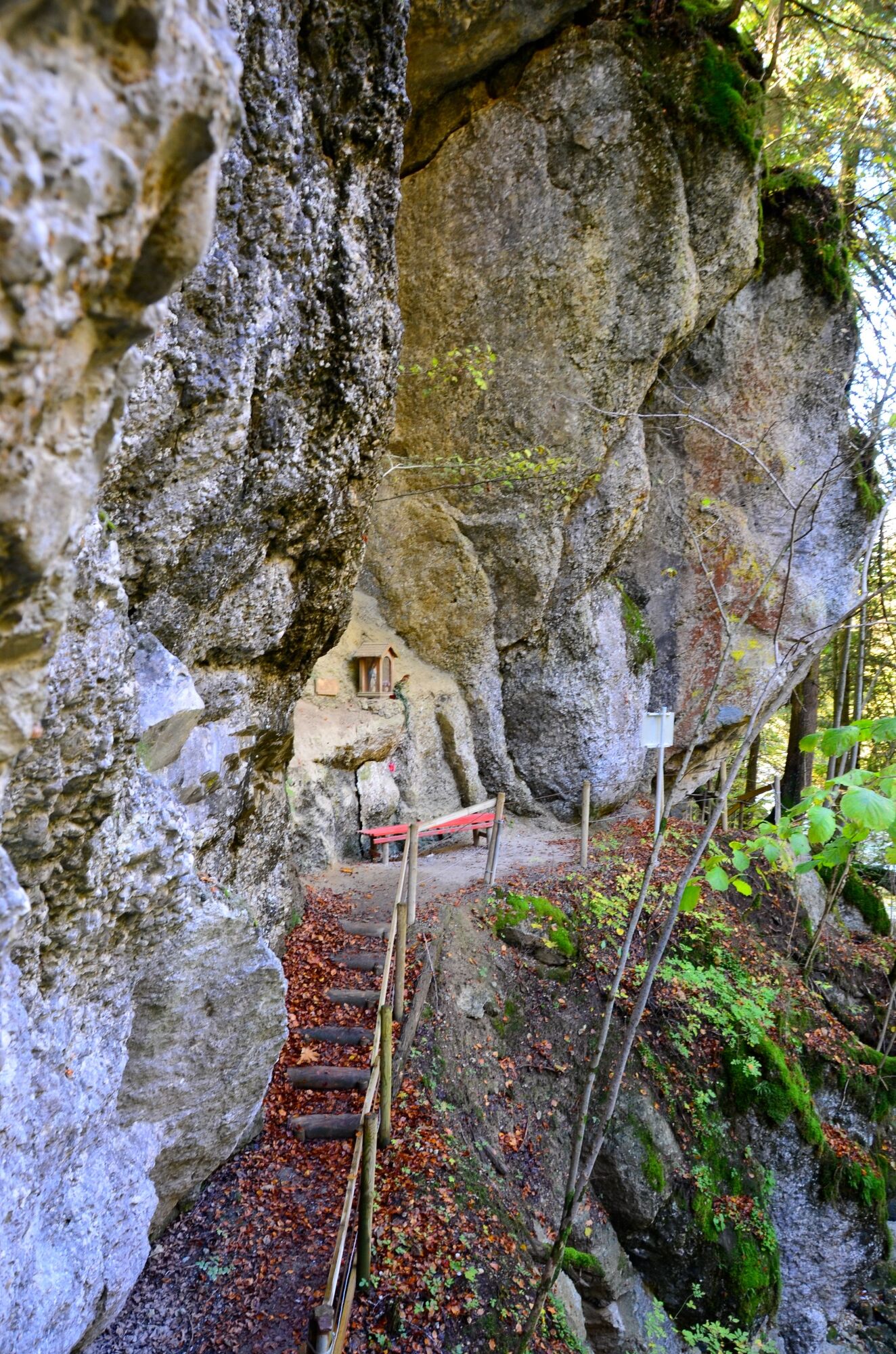
It’s pleasantly cool on this hiking trail. It leads for the most part along the water and through a light-flooded forest.
- Dificultad
-
fácil
- Valoración
-
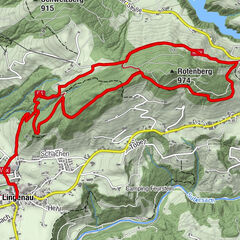
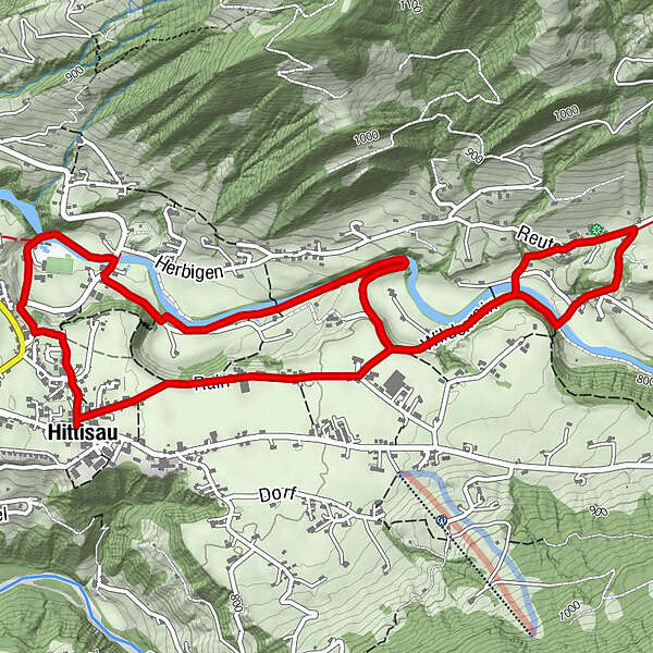
- Ruta
-
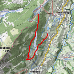
HittisauPfarrkirche Heilige Drei KönigeGasthof Hirschen0,0 kmGasthof Krone0,0 kmGasthof Goldener Adler0,1 kmAlpenrose4,2 kmSonne Gasthaus6,1 kmGasthof Goldener Adler6,7 kmGasthof Hirschen6,7 kmGasthof Krone6,8 kmHittisau6,8 kmPfarrkirche Heilige Drei Könige6,8 km
- La mejor temporada
-
enefebmarabrmayjunjulagosepoctnovdic
- Punto álgido
- 831 m
- Punto final
-
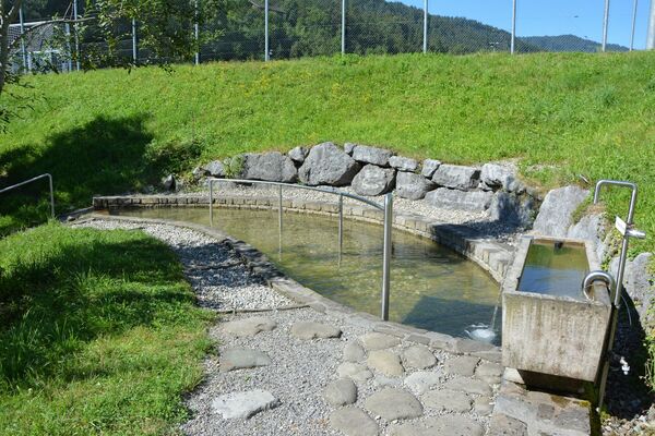
Hittisau Dorfbrunnen
- Perfil alto
-


- Autor
-
La gira Hittisau | water hiking trail es utilizado por outdooractive.com proporcionado.
GPS Downloads


Información general
Punto de avituallamiento
Cultural/Histórico
Más circuitos por las regiones
-
Allgäu
2362
-
Bregenzerwald
2296
-
Hittisau
703