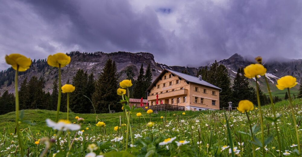
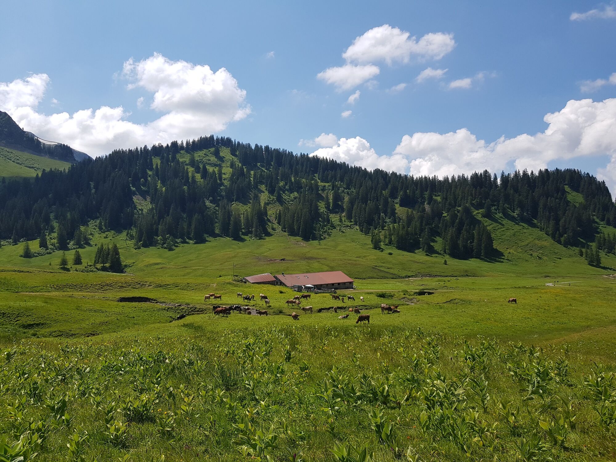
© Damüls Faschina Tourismus - Fred Böhringer


- Breve descripción
-
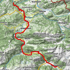
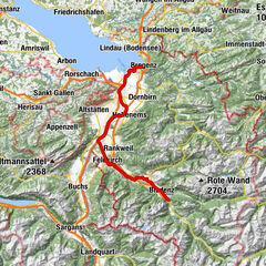
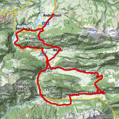
Talstation Uga-Express - Au - Mellaubahn Talstation - Alpe Suttis - Wildguntenalpe - Rossstelle - Alpe Kanis - Berggasthaus Edelweiß - Damüls
- Dificultad
-
medio
- Valoración
-
- Ruta
-
Damüls (1.423 m)0,4 kmBerghotel Madlener0,5 kmDreihäuser1,6 kmUntertobel3,3 kmAu (800 m)9,5 kmSchnepfau13,9 kmHirschau15,7 kmEnge16,8 kmTanna18,1 kmHinterbündt18,9 kmOberfeld18,9 kmKapelle Oberfeld19,1 kmPrinzwies19,5 kmSchönboden20,6 kmAlphof Rossstelle28,8 kmBergrestaurant Simma28,8 kmRoßstelle28,9 kmJausenstation Wurzachalpe32,0 kmWurzach32,0 kmJausestation Obere Alpe32,8 kmAlpengasthof Edelweiss33,8 kmUntertobel40,8 kmDreihäuser42,6 kmBerghotel Madlener43,6 kmDamüls (1.423 m)43,9 km
- La mejor temporada
-
enefebmarabrmayjunjulagosepoctnovdic
- Punto álgido
- 1.638 m
- Punto final
-
Talstation Uga-Express
- Perfil alto
-

-

-
AutorLa gira Damüls | Rundtour um die Kanisfluh es utilizado por outdooractive.com proporcionado.
GPS Downloads


Información general
Punto de avituallamiento
Flora
Vistas panorámicas
Más circuitos por las regiones