© Mellau Tourismus - Alex Kaiser

© Bregenzerwald Tourismus - Sebastian Stiphout

© Bregenzerwald Tourismus - Sebastian Stiphout

© Bregenzerwald Tourismus - Alex Kaiser

© Bregenzerwald Tourismus - Nadine Lerho

- Breve descripción
-
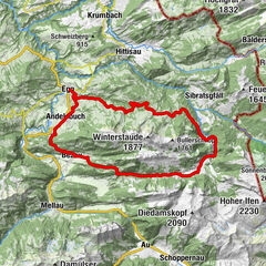
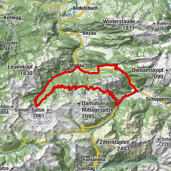
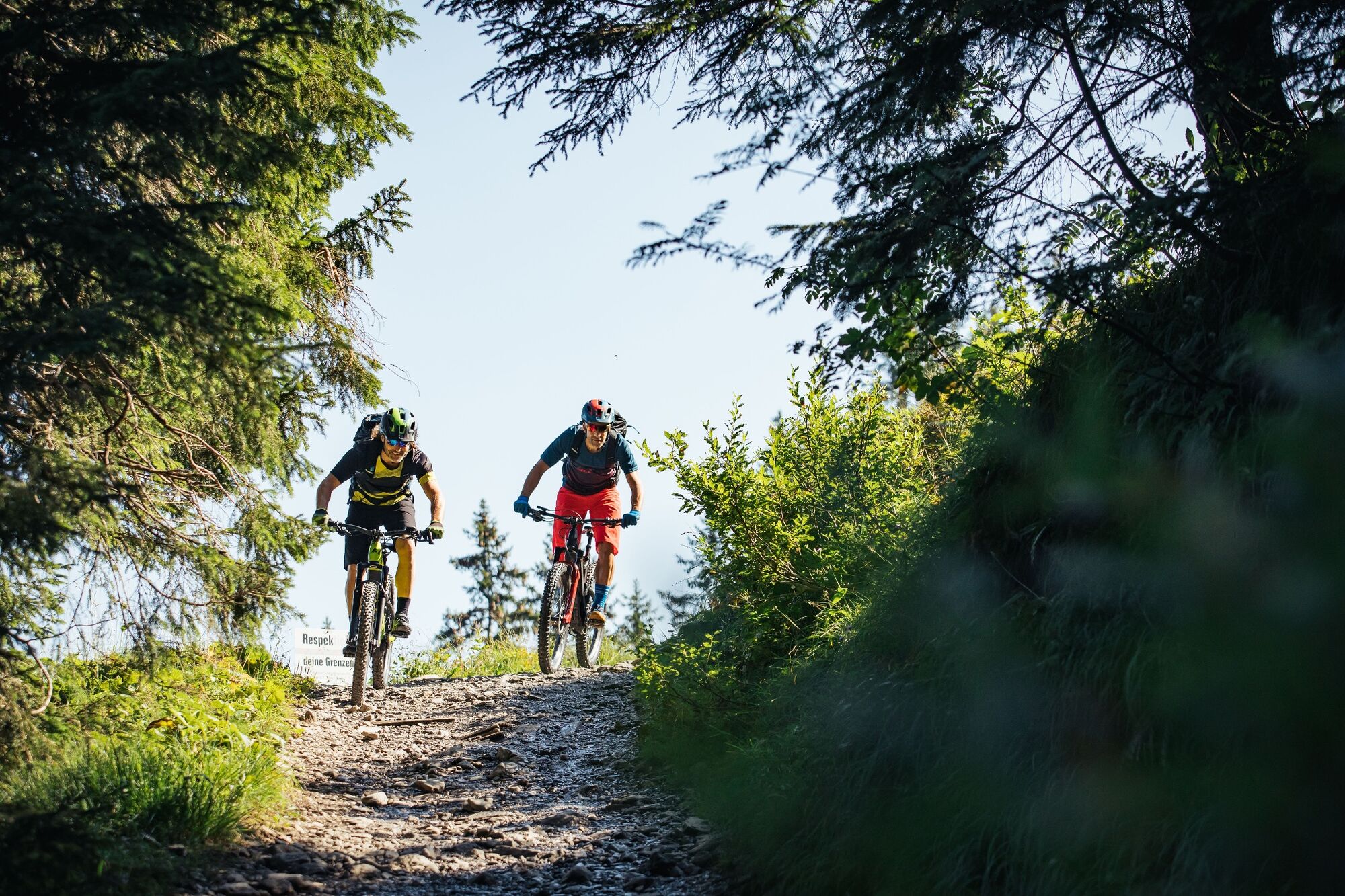
Die Tour rund um die Kanisfluh in ein Klassiker im Bregenzerwald.
- Valoración
-
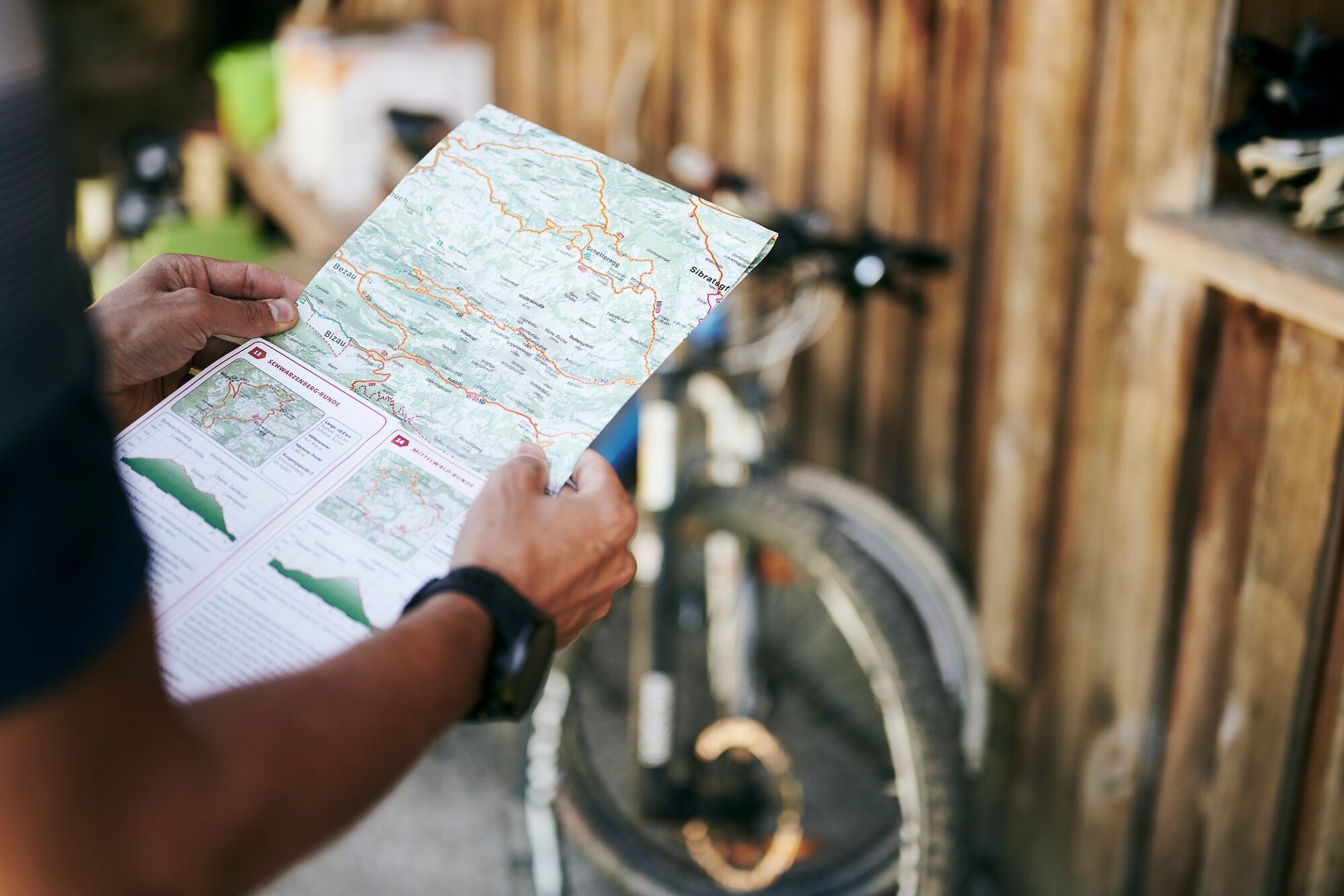
- Ruta
-
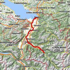
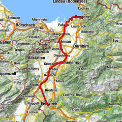
Ristorante Pizzeria SandroÜbermellen0,0 kmPfarrkirche Mellau0,1 kmMellau0,1 kmPlatz0,1 kmMoos0,1 kmNaze's Hus0,1 kmTempel0,3 kmAchsiedlung0,4 kmHinterbündt0,5 kmTanna1,2 kmEnge2,3 kmLourdeskapelle3,9 kmKapelle Hl. Martin3,9 kmHirschau4,0 kmSchnepfau6,0 kmPfarrkirche Schnepfau6,0 kmBühlenvorsäß7,5 kmAu (800 m)11,0 kmPfarrkirche St. Leonhard11,1 kmLisse11,4 kmArgenzipfel11,9 kmAlpengasthof Edelweiss18,6 kmJausestation Obere Alpe19,6 kmWurzach20,4 kmJausenstation Wurzachalpe20,5 kmBergrestaurant Simma23,6 kmRoßstelle23,6 kmAlphof Rossstelle23,6 kmHintere Bleichten31,5 kmHauser-Alpe32,8 kmLindach Alpe34,3 kmDös40,3 kmBengath41,0 kmUnterrain41,7 kmEggbühel42,2 kmMellau42,2 kmIslen42,3 kmMoos42,3 kmTempel42,5 kmPlatz42,6 kmPfarrkirche Mellau42,6 kmRistorante Pizzeria Sandro42,7 kmÜbermellen42,7 km
- La mejor temporada
-
enefebmarabrmayjunjulagosepoctnovdic
- Punto álgido
- 1.636 m
- Punto final
-
Mellau Ortsmitte
- Perfil alto
-


- Autor
-
La gira Mellau | Rund um die Kanisfluh es utilizado por outdooractive.com proporcionado.
GPS Downloads


Información general
Punto de avituallamiento
Vistas panorámicas
Más circuitos por las regiones