
Datos del tour
42,25km
682
- 1.642m
1.364hm
1.359hm
03:18h
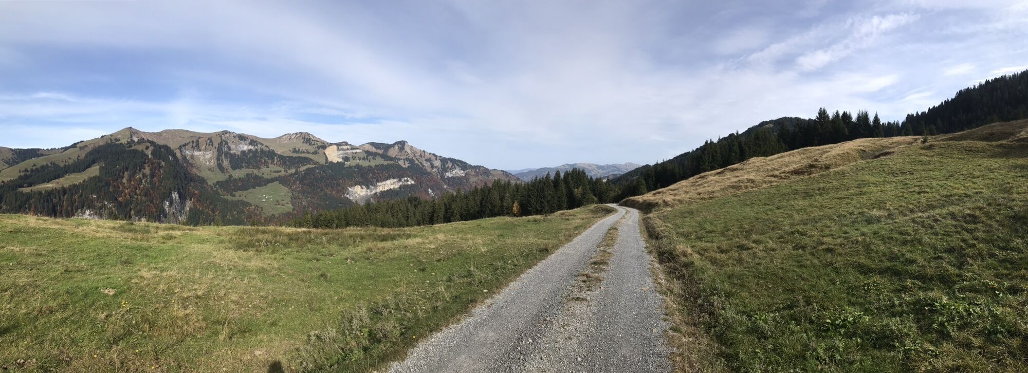
- Breve descripción
-
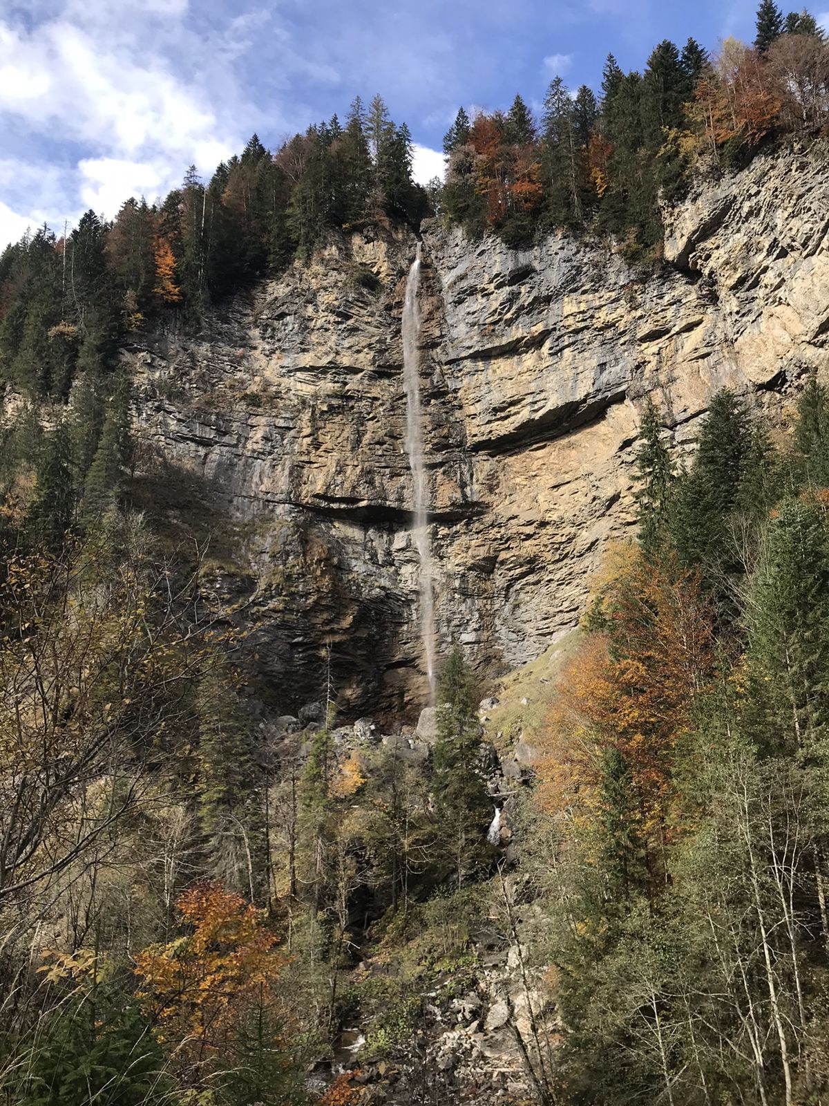
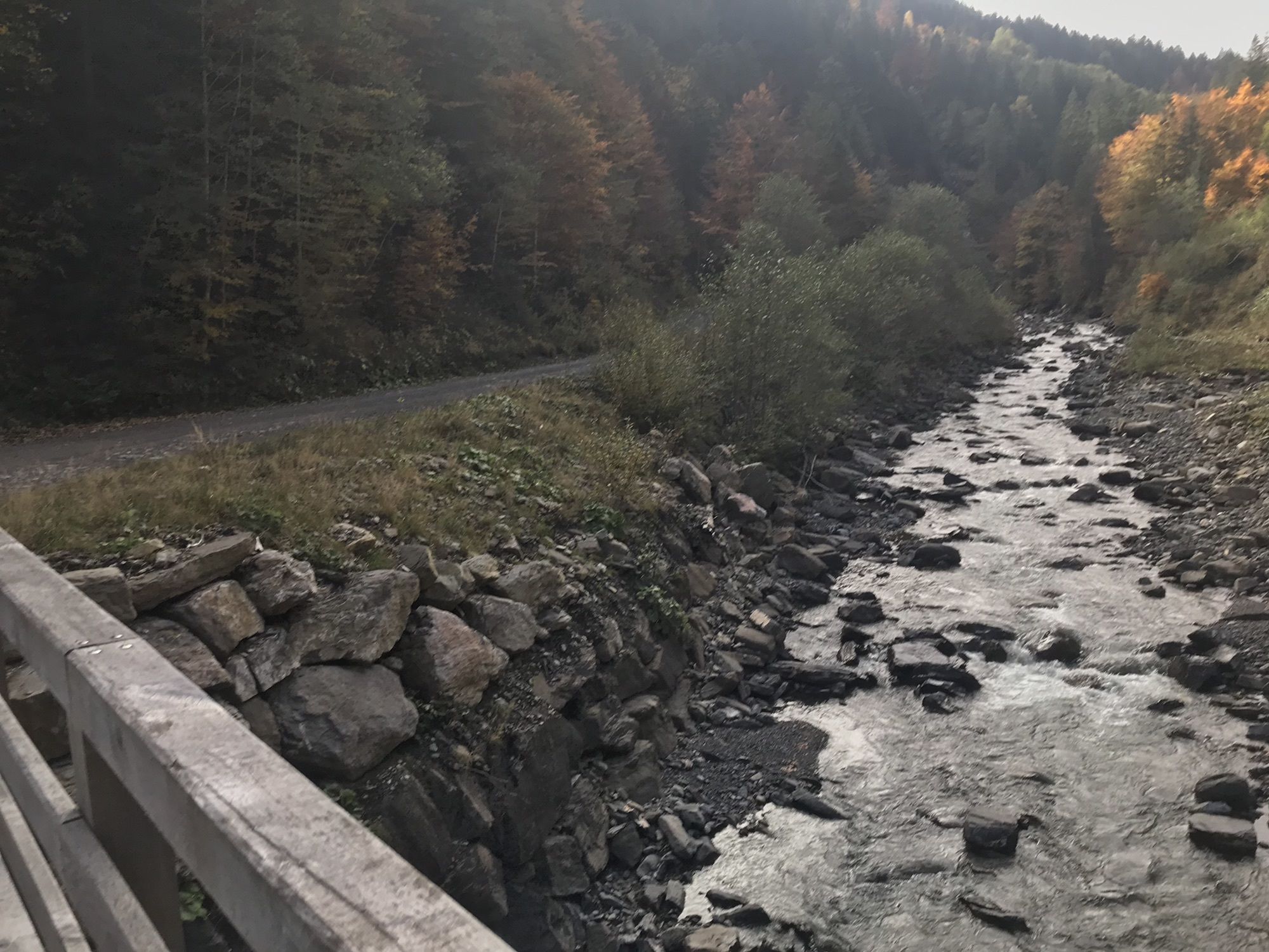
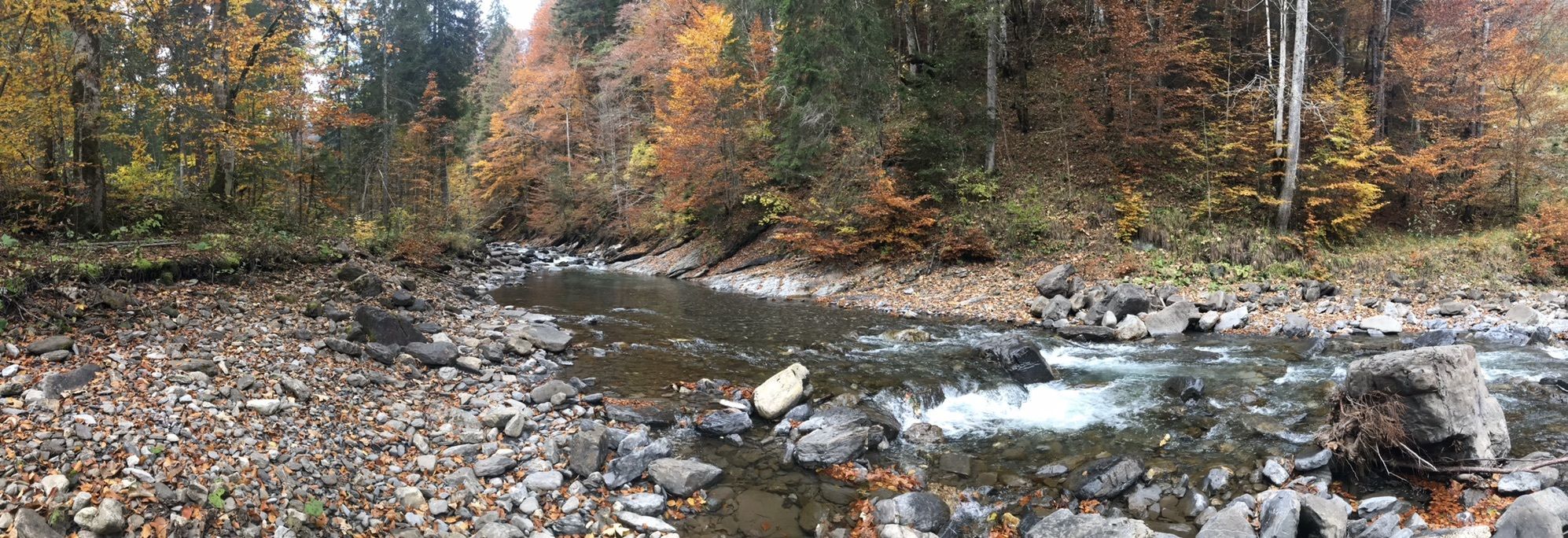
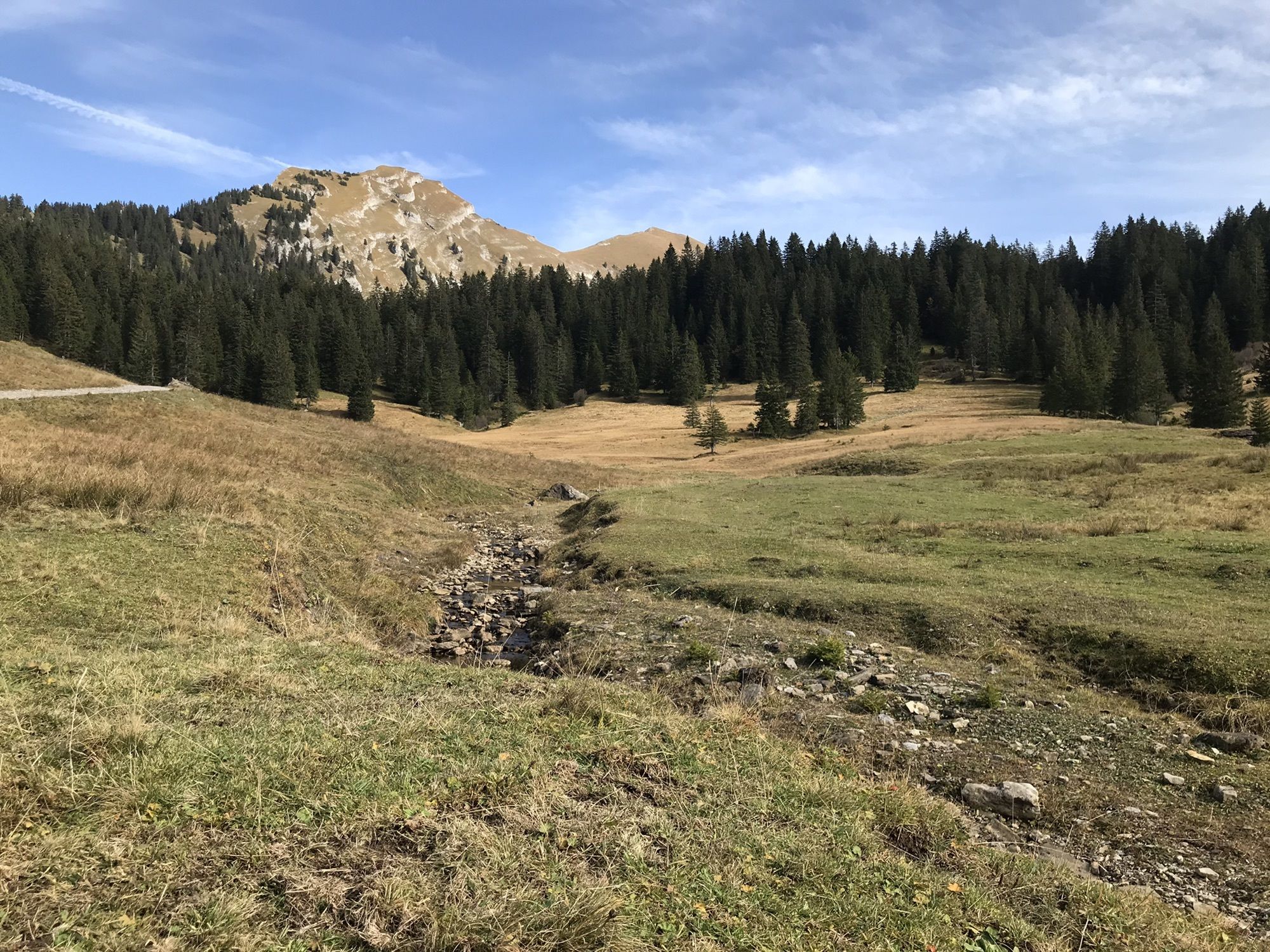
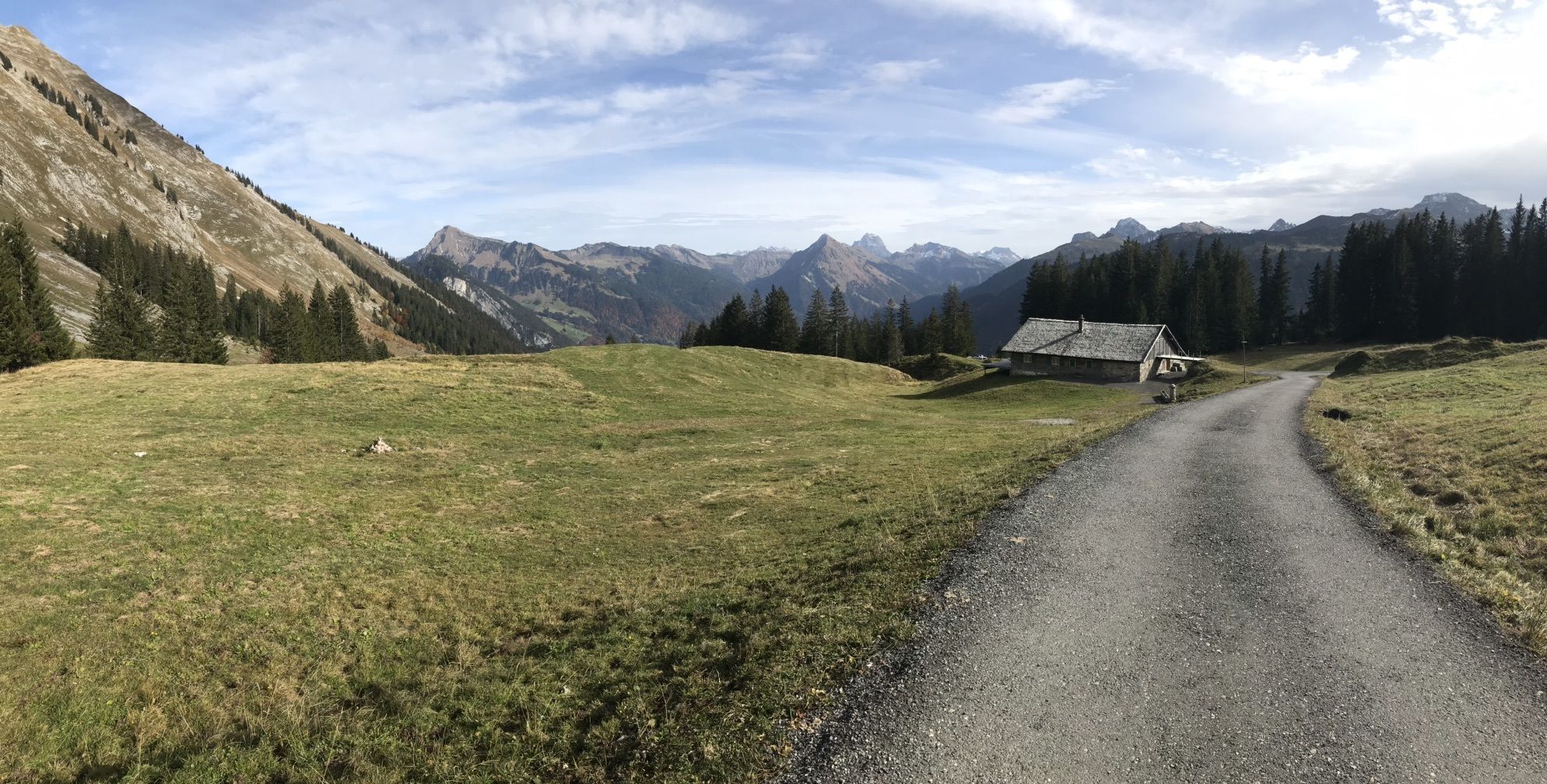
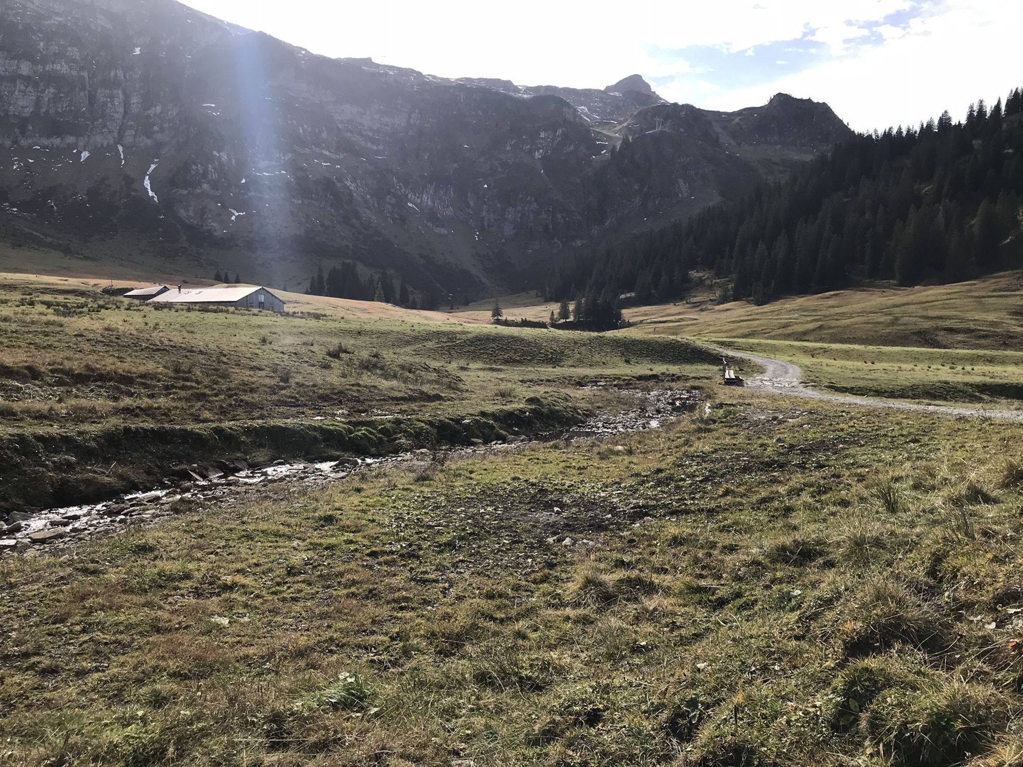
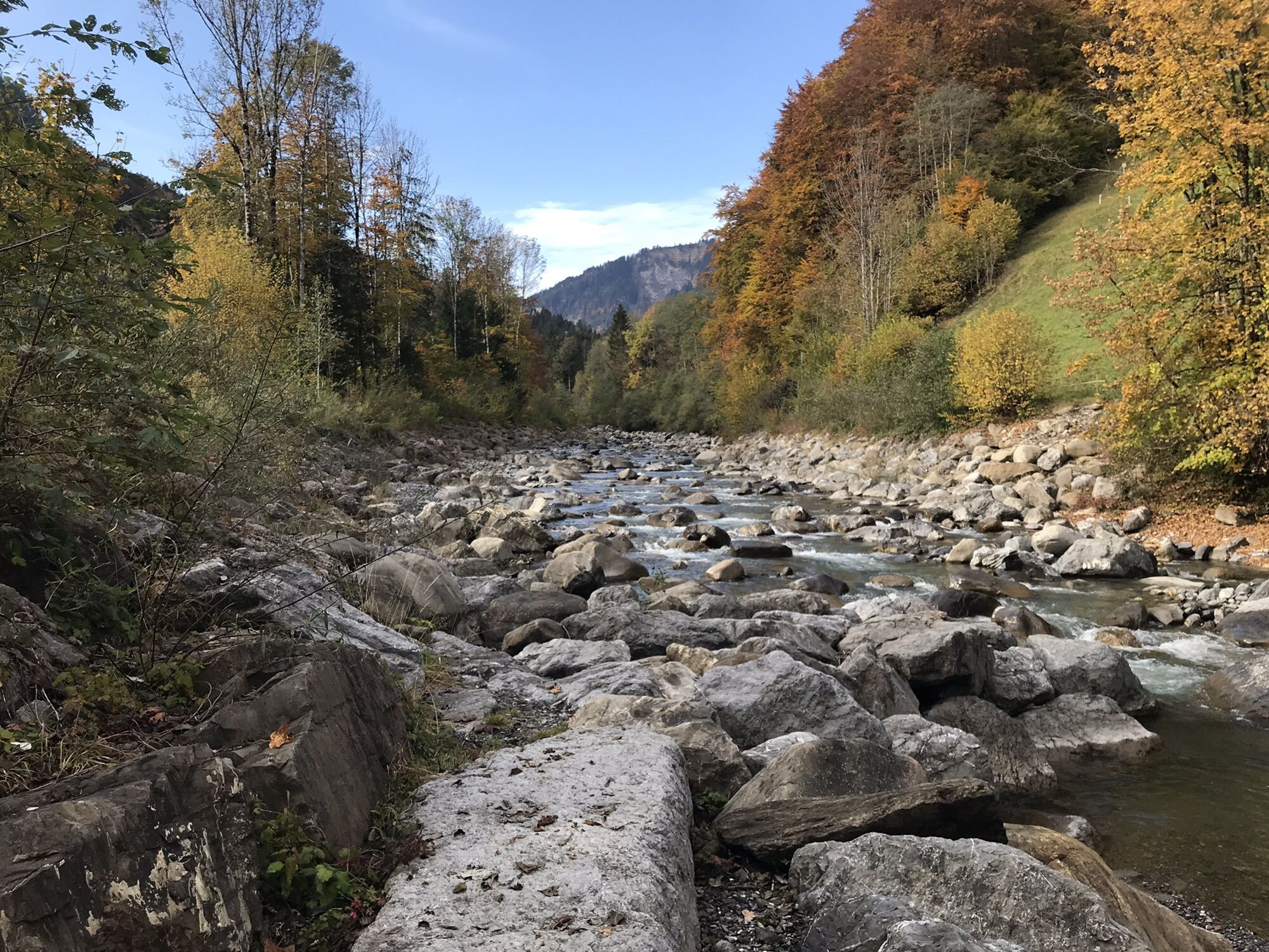
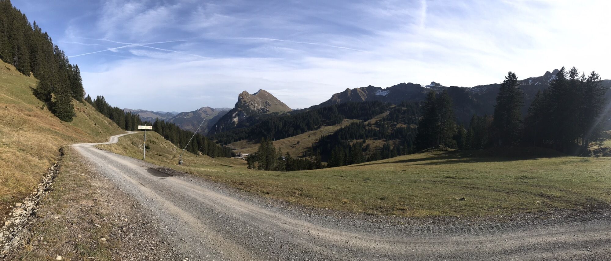
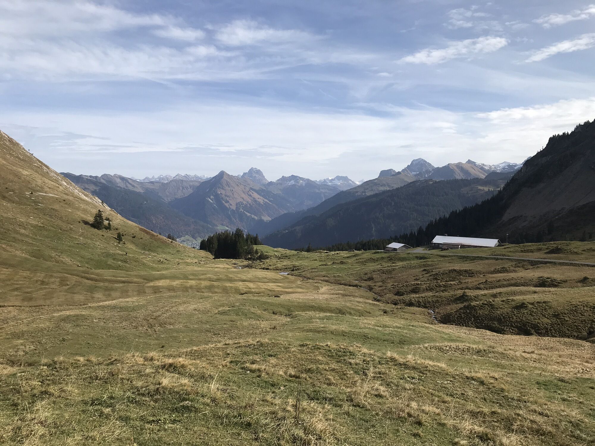
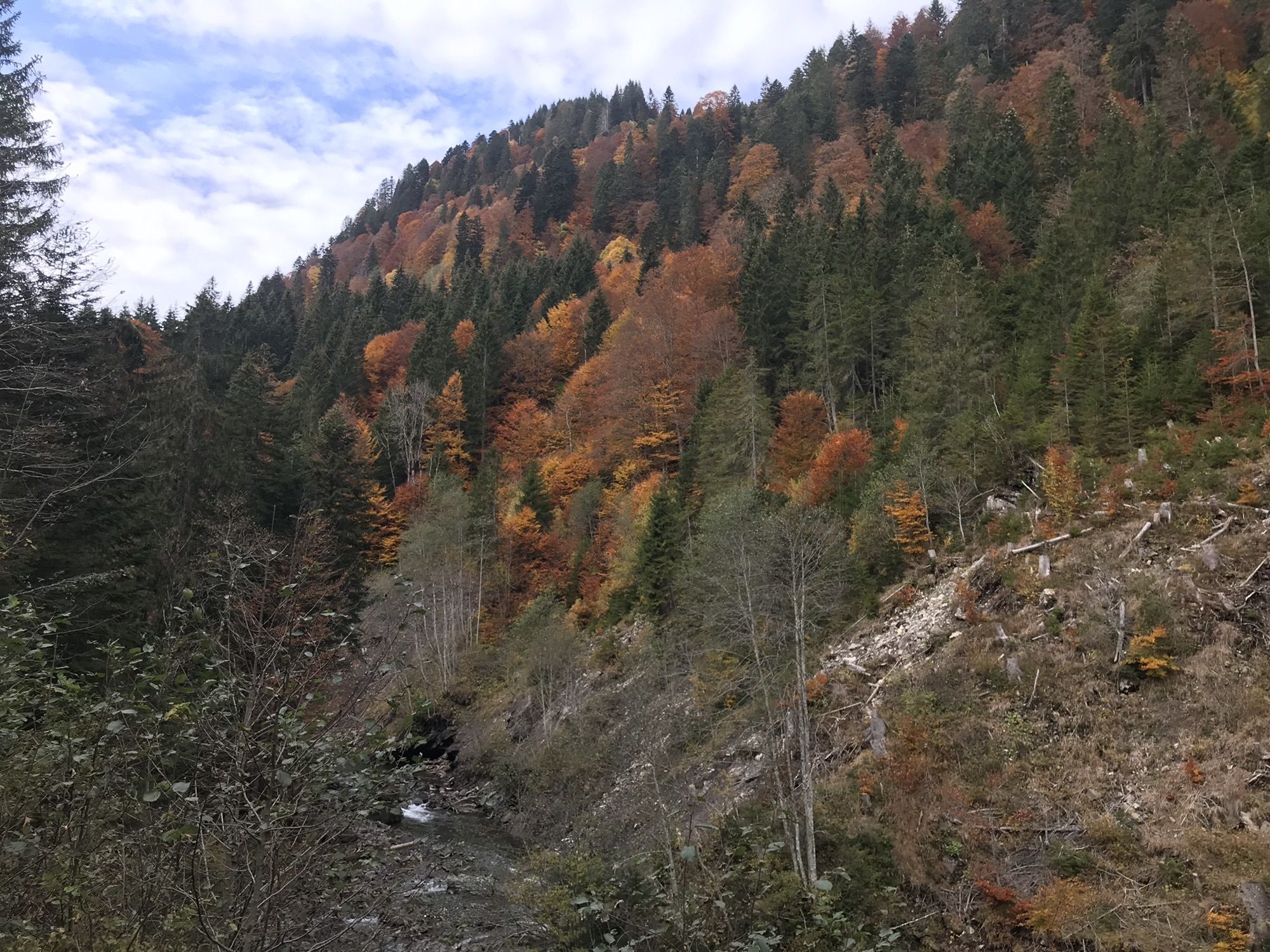
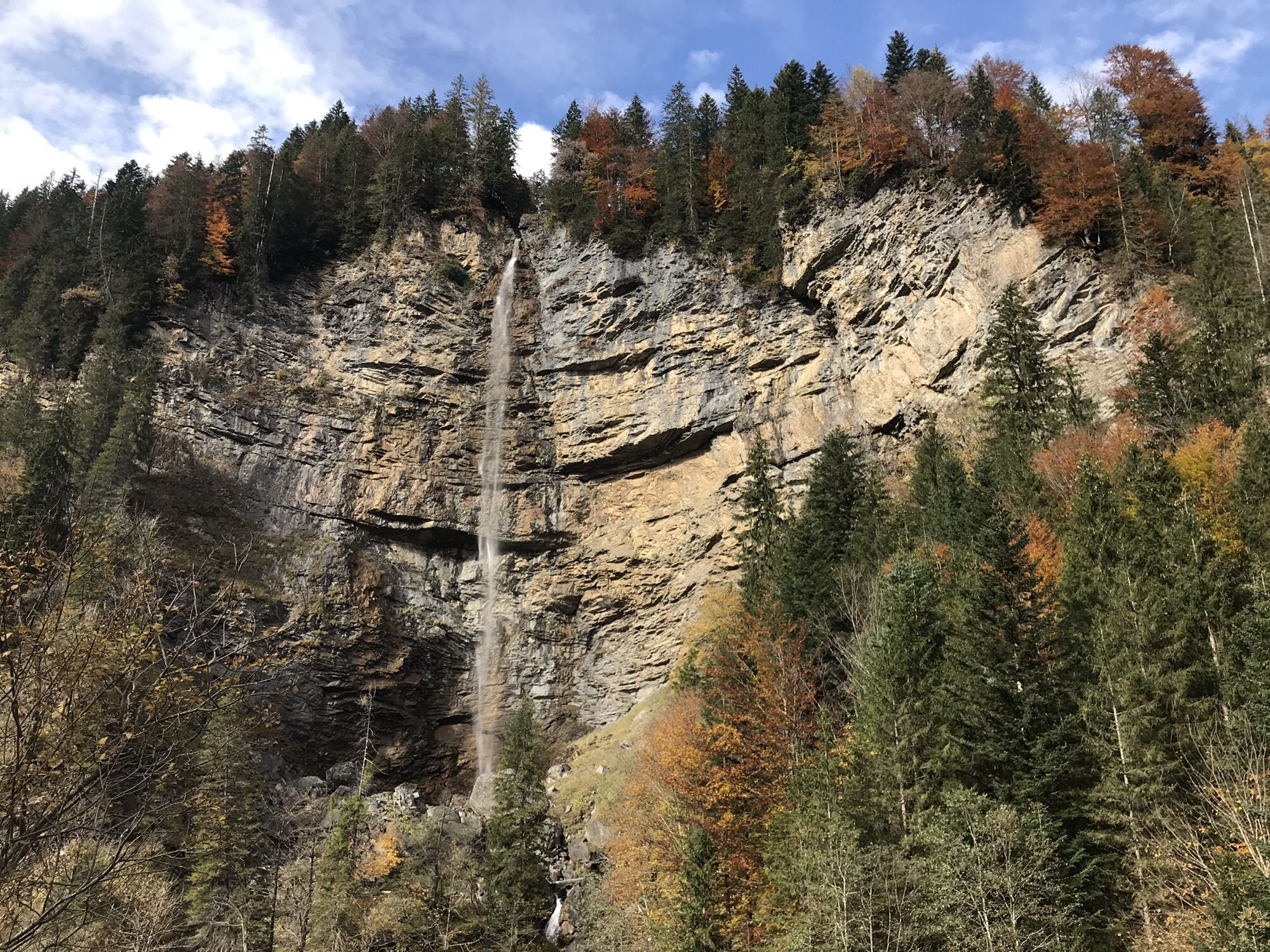
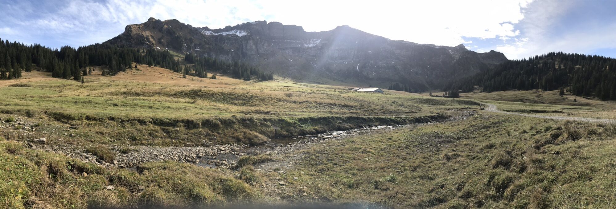
Geniale Tour im Herbst
- Dificultad
-
fácil
- Valoración
-
- Ruta
-
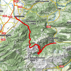
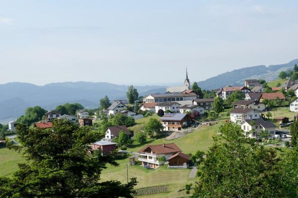
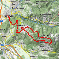
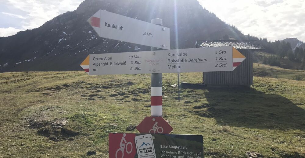
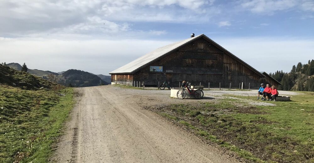
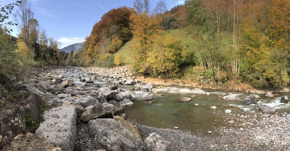
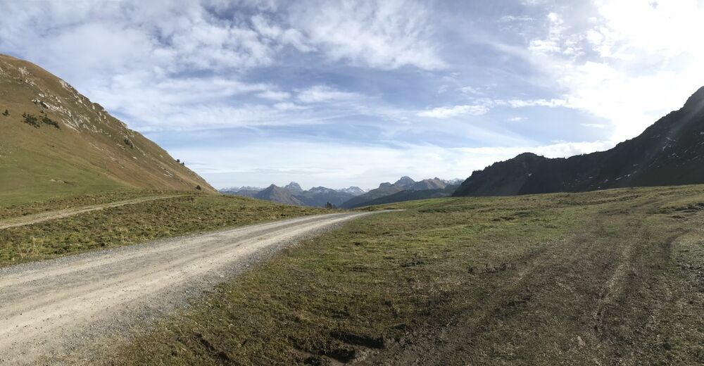
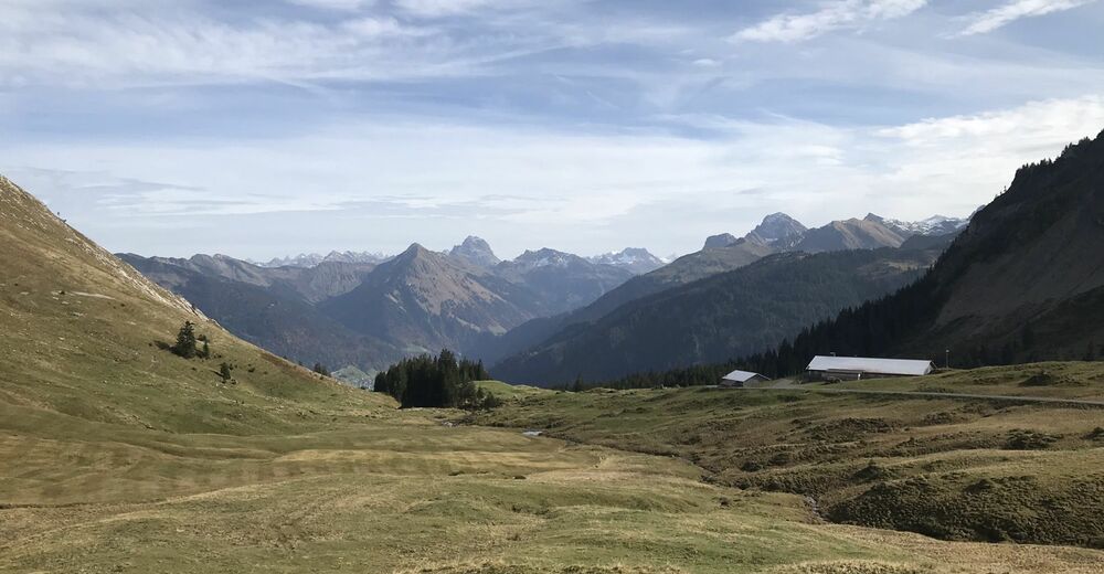
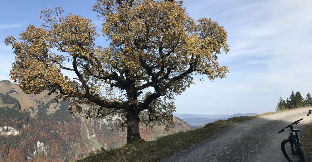
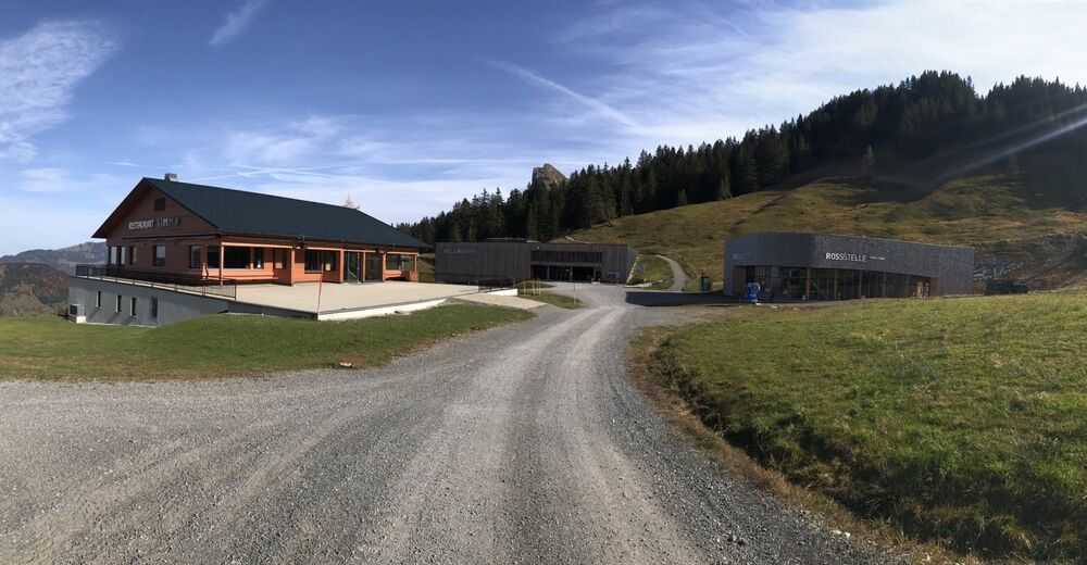
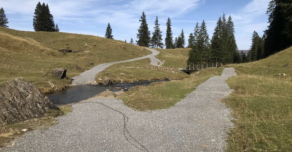
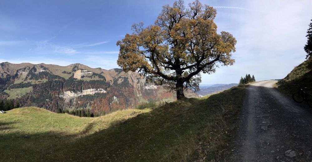
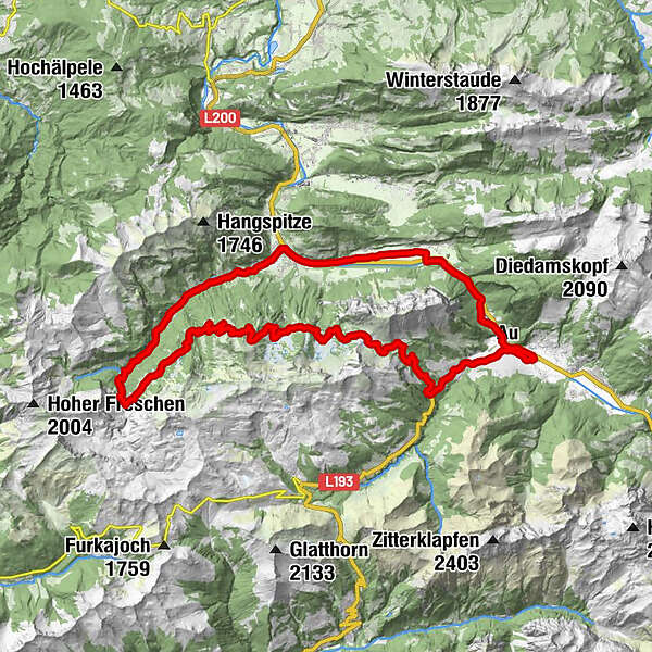
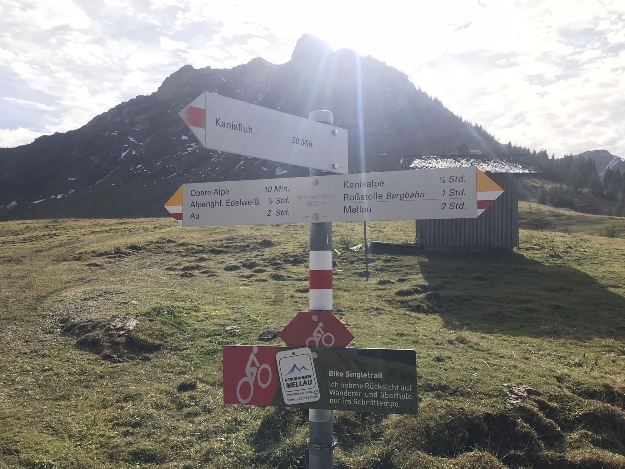
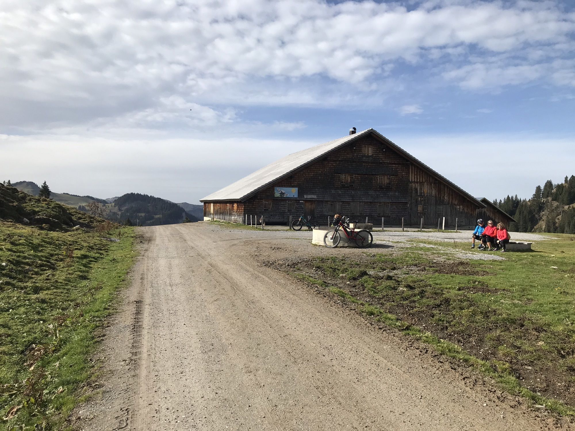
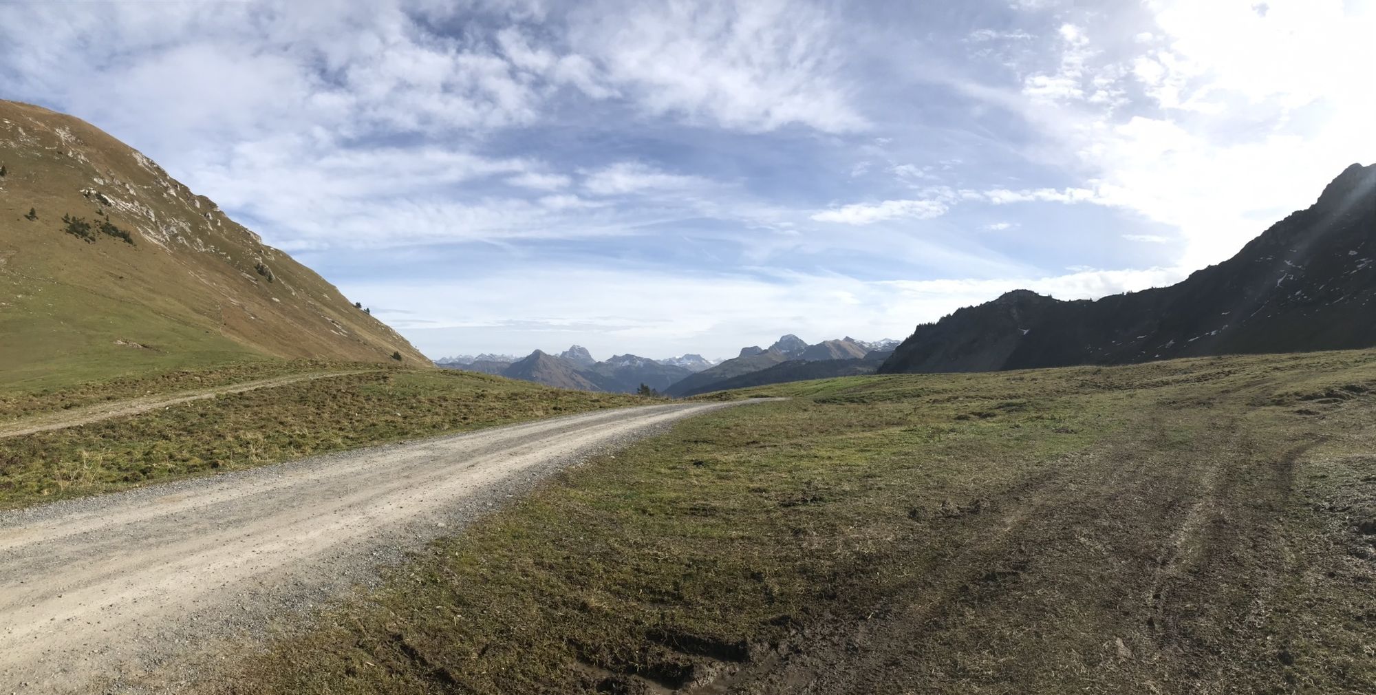
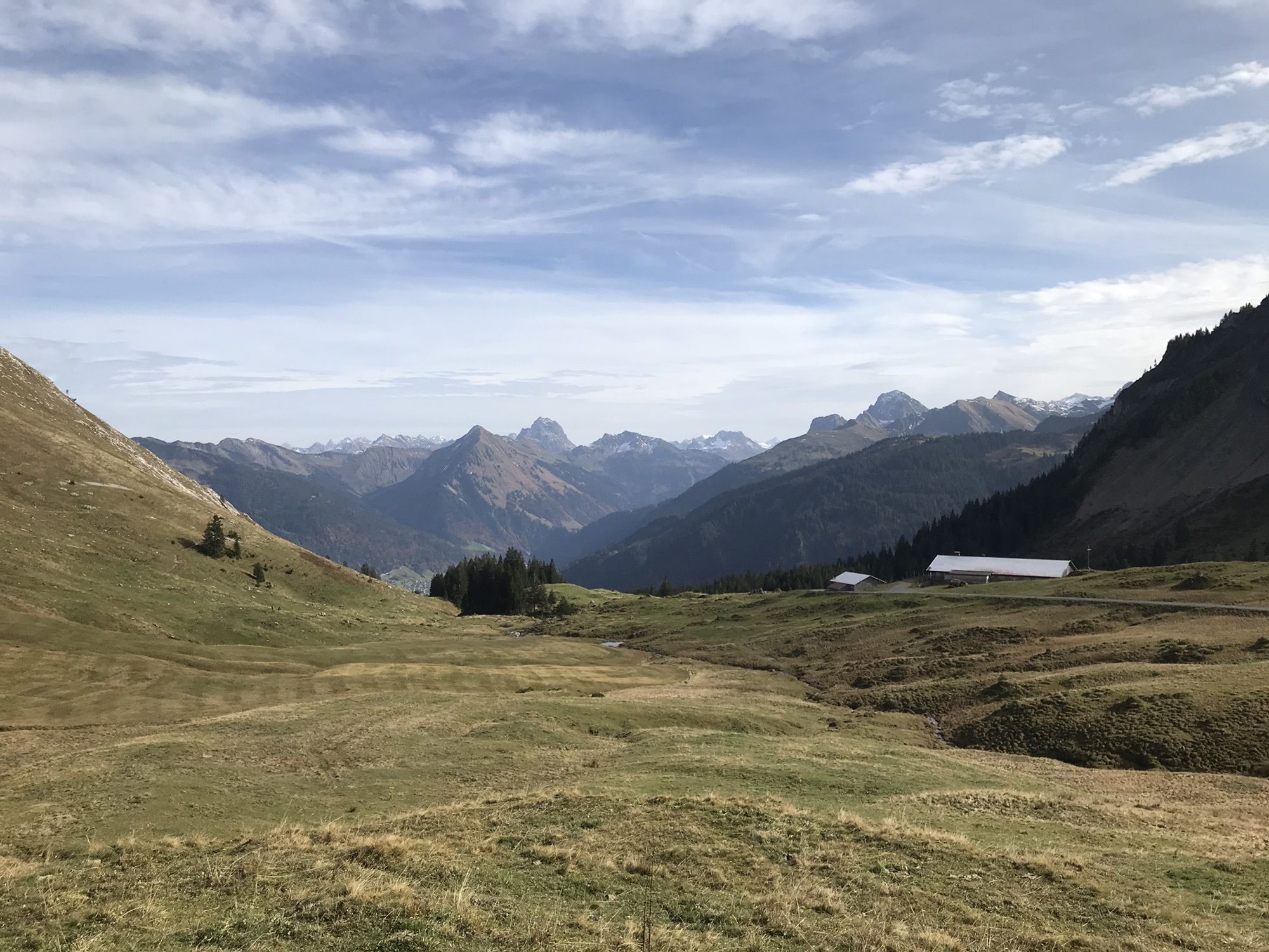
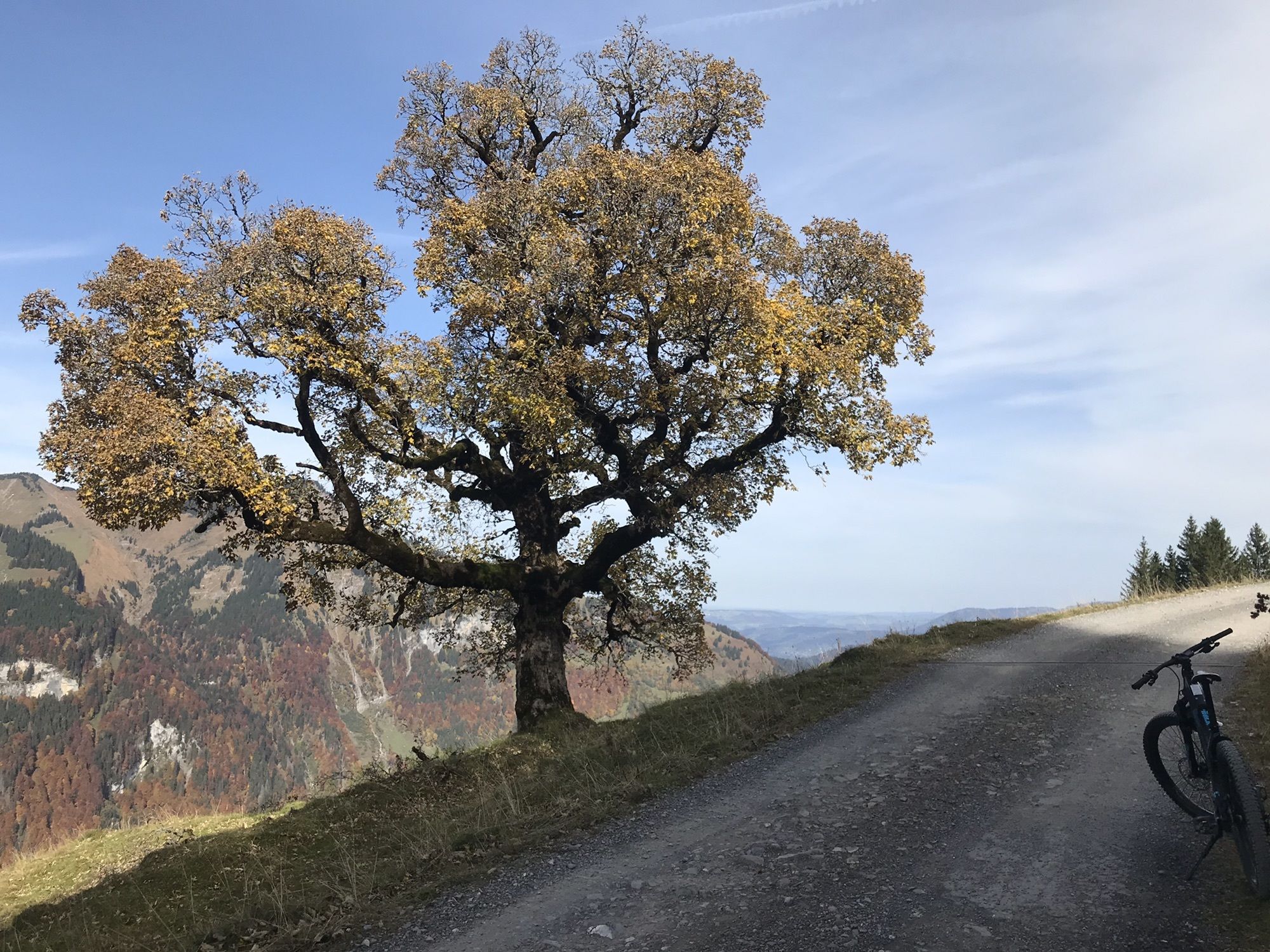
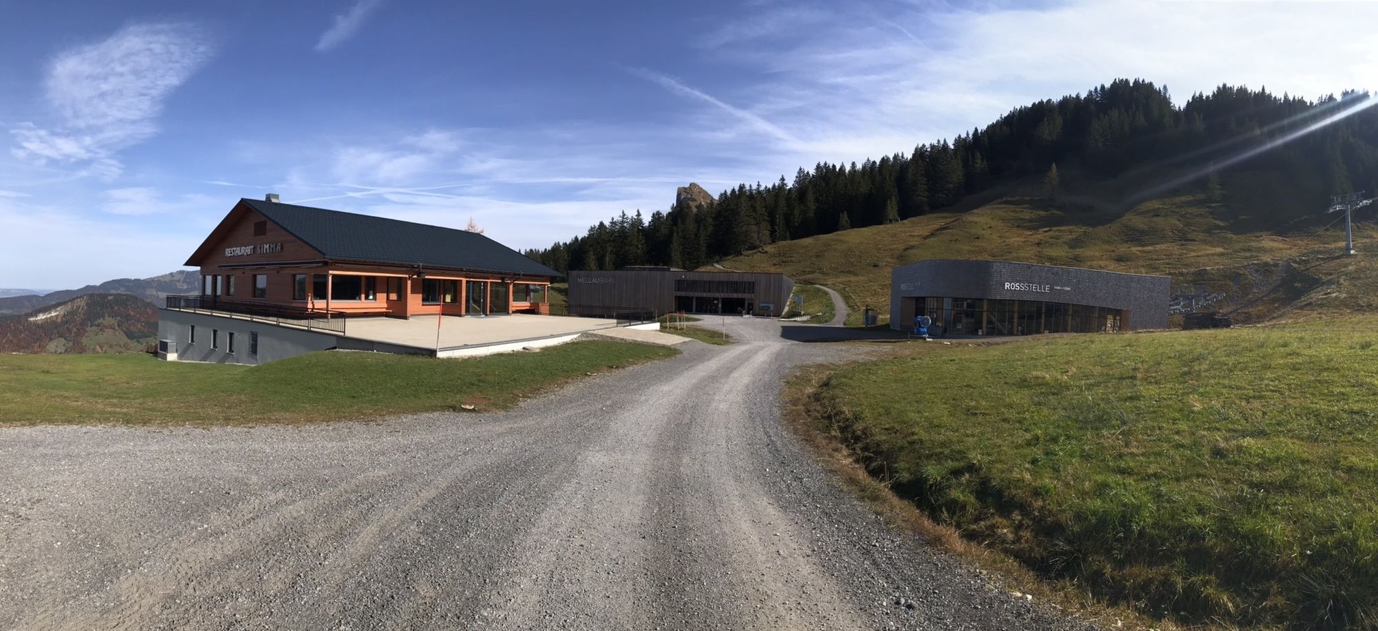
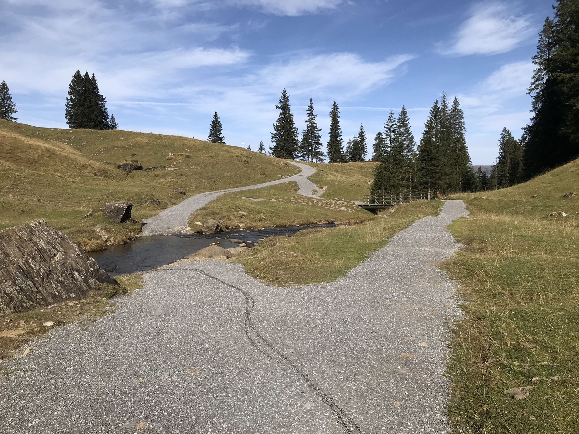
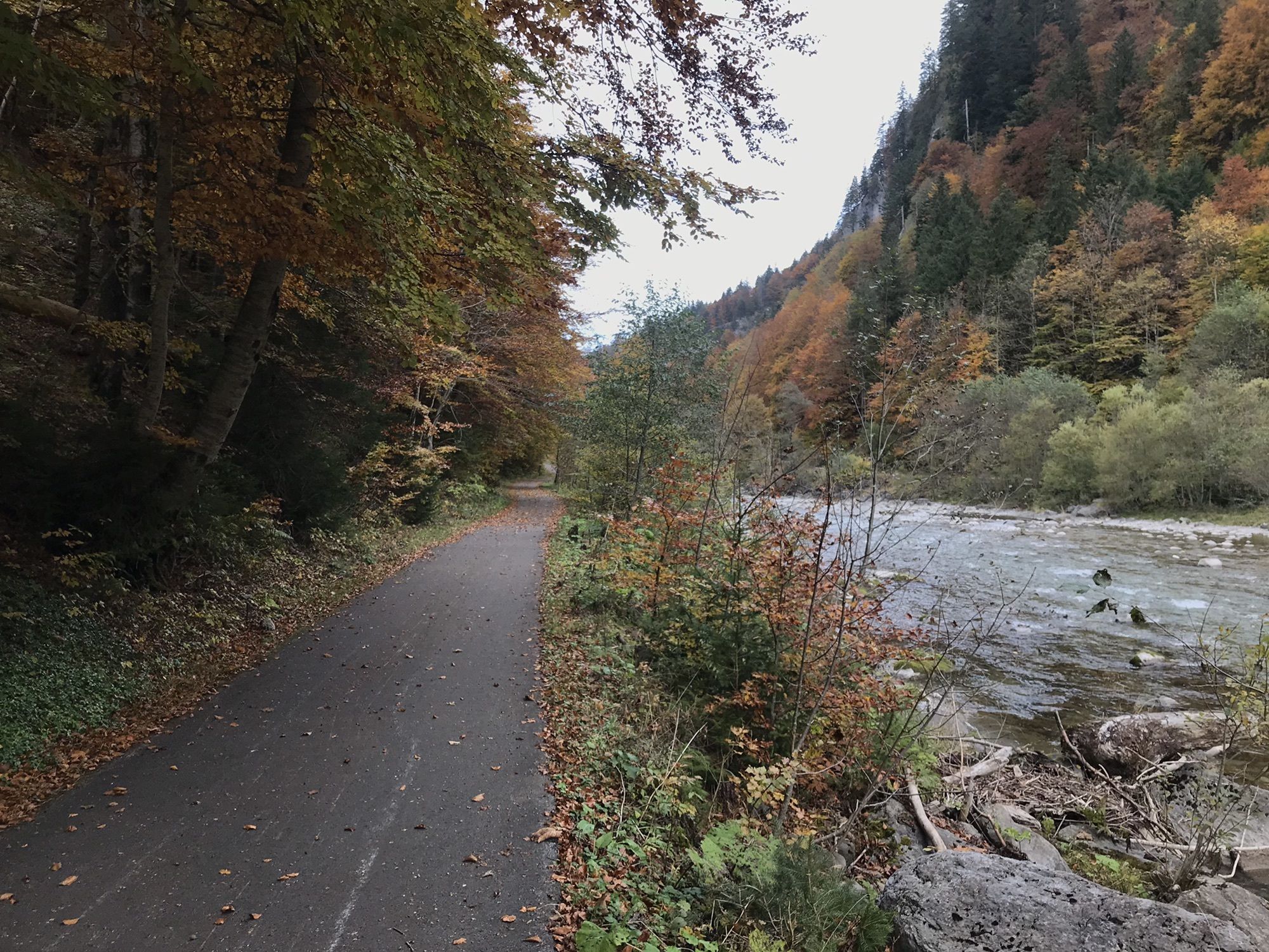
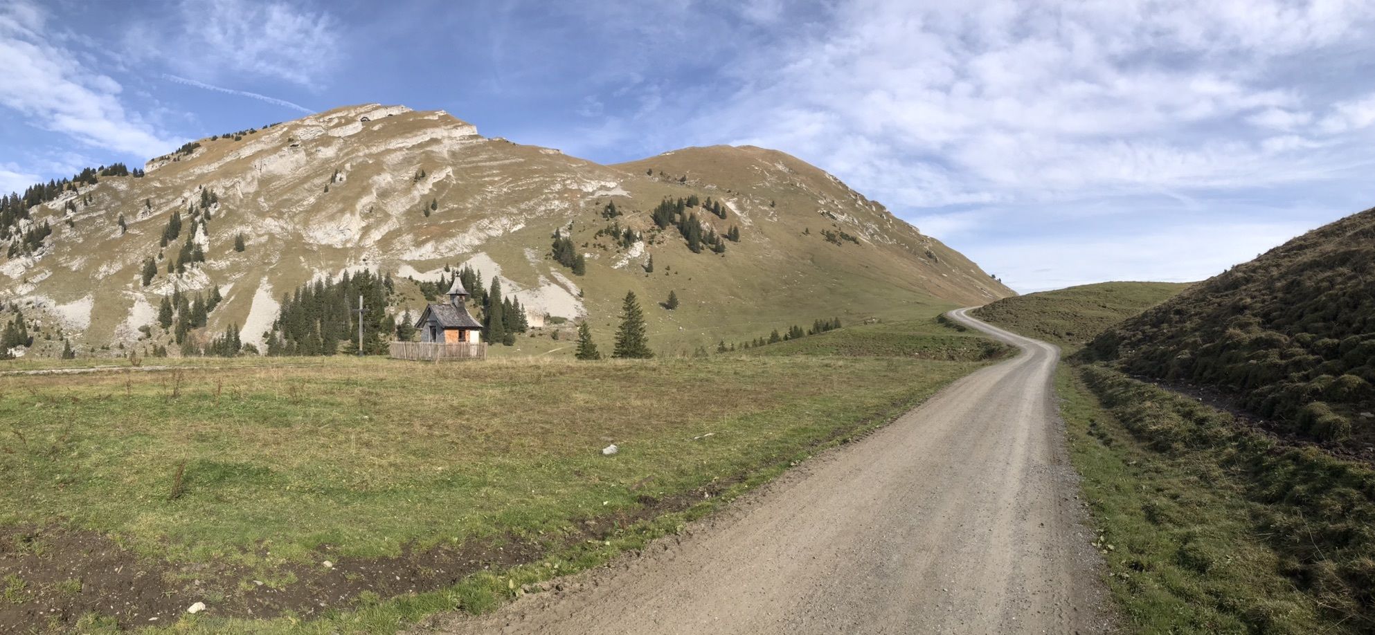
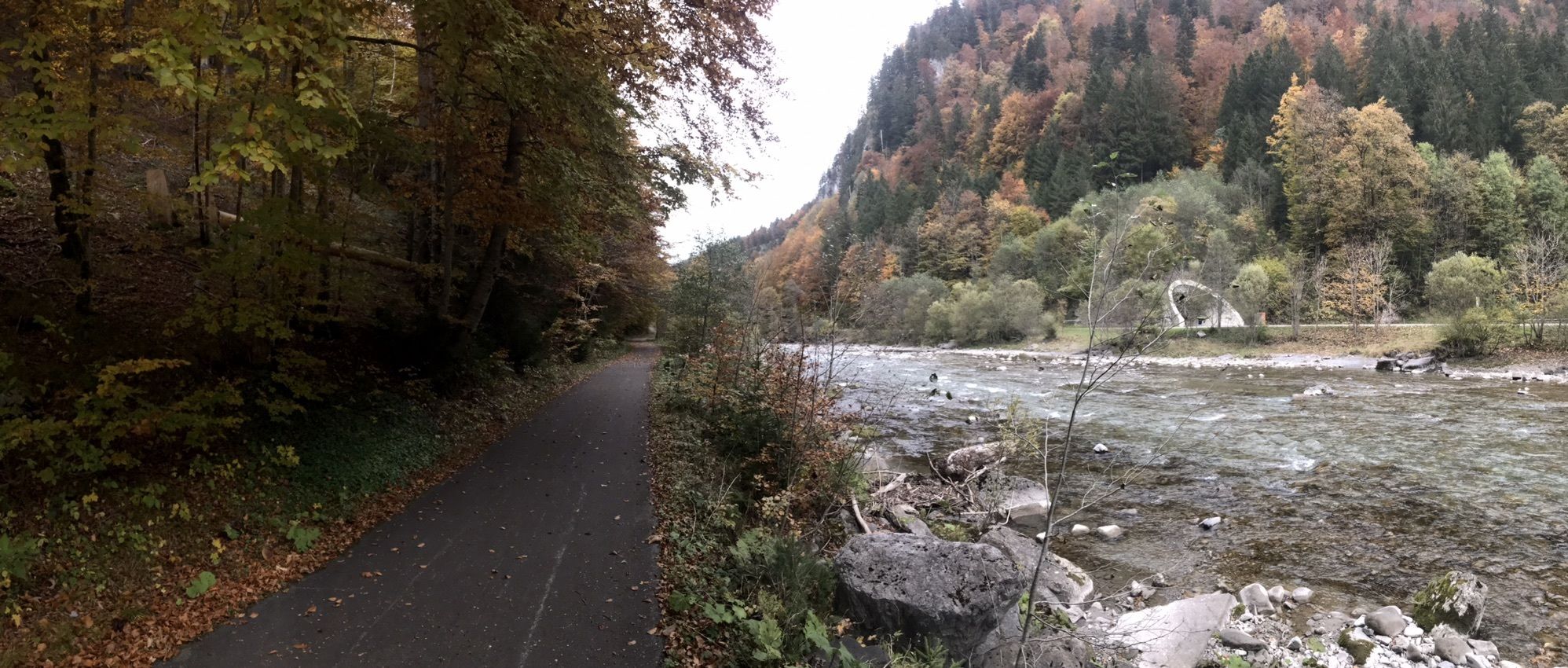
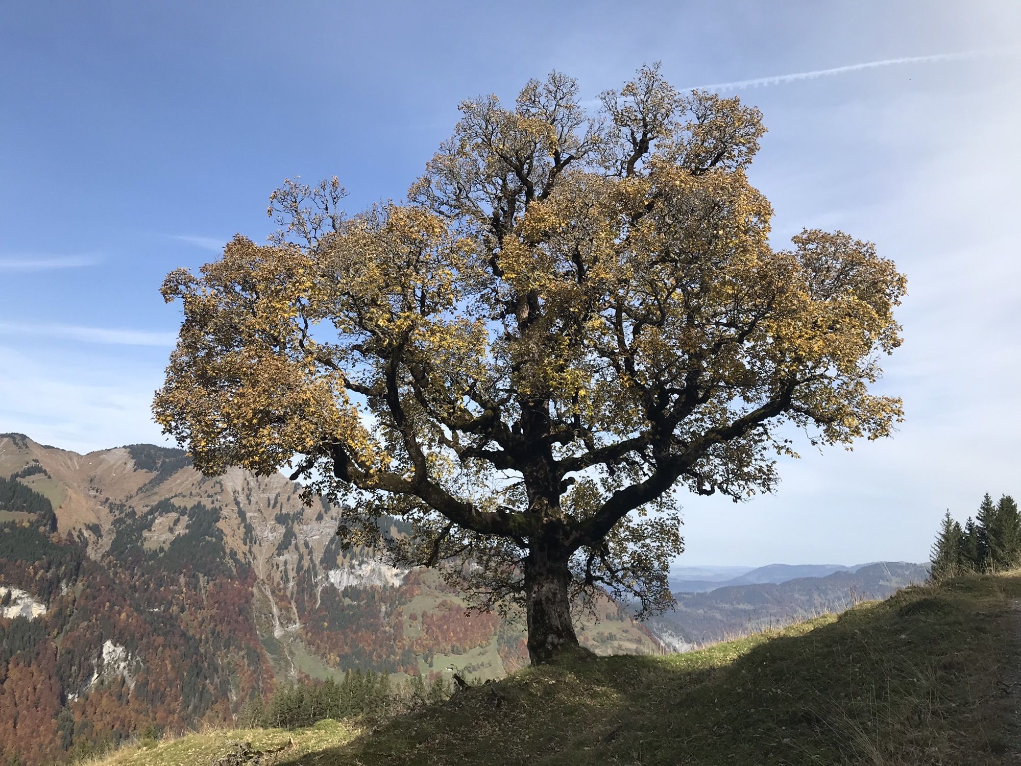
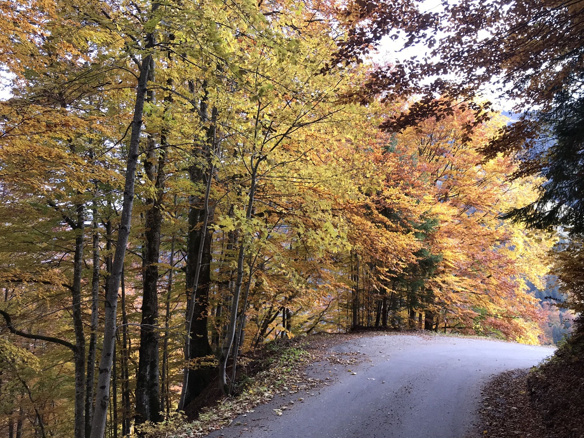
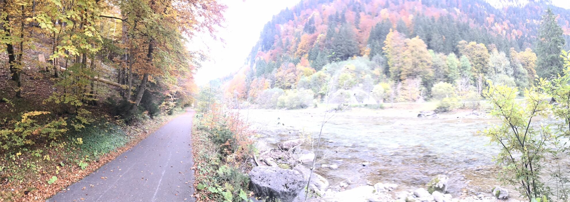
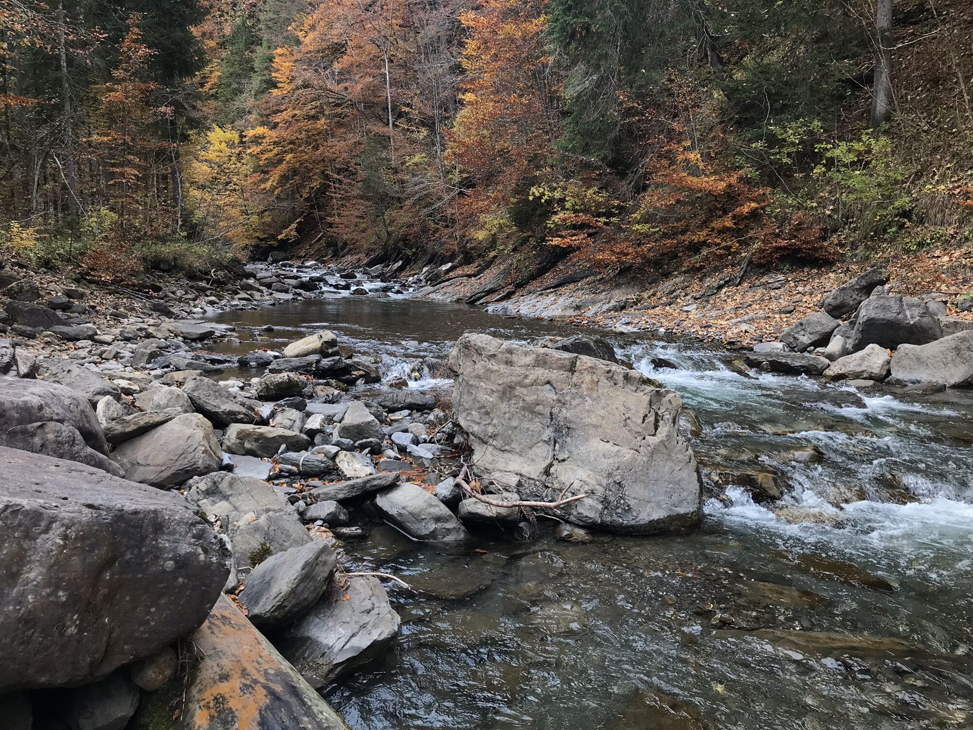
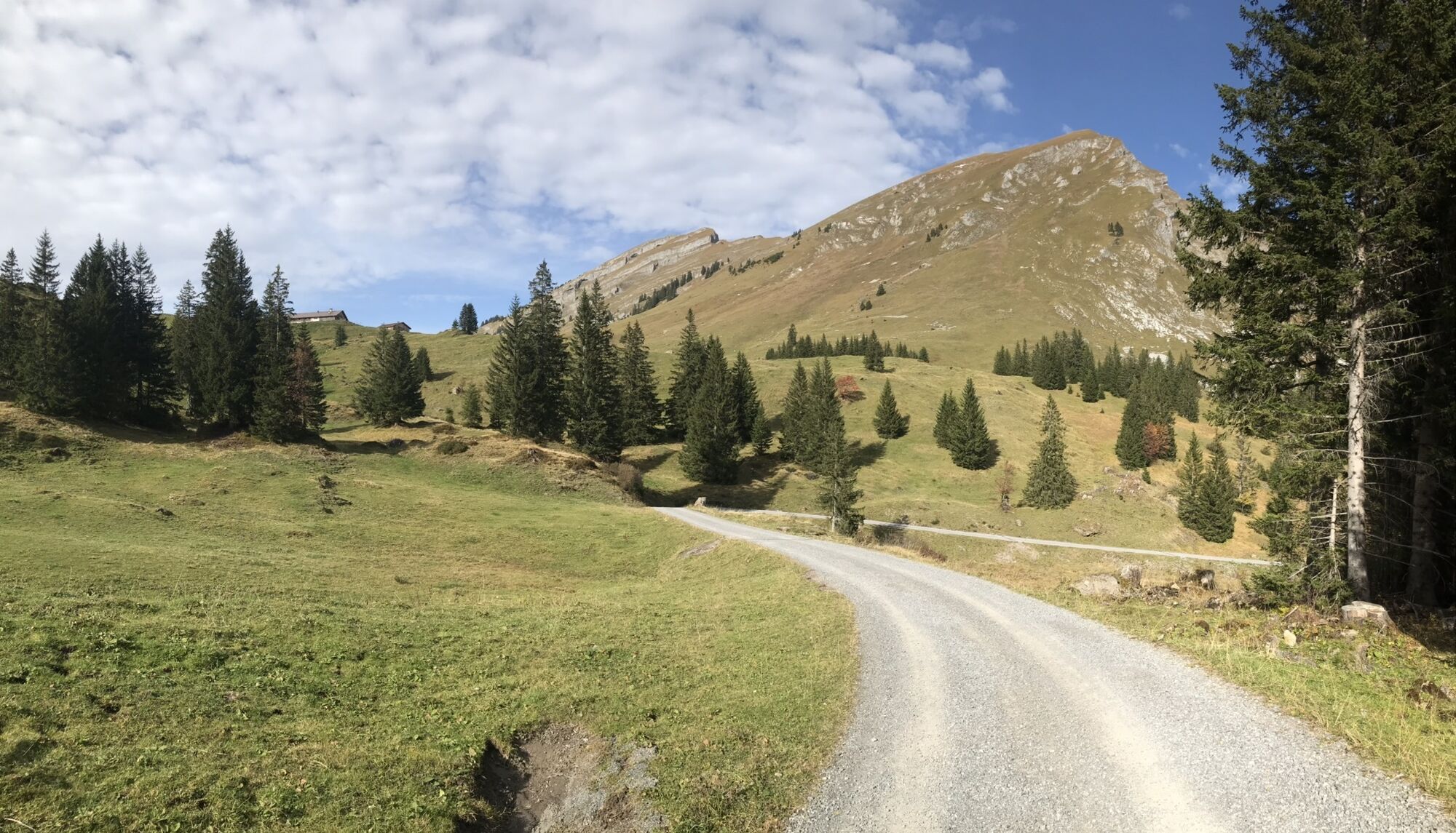
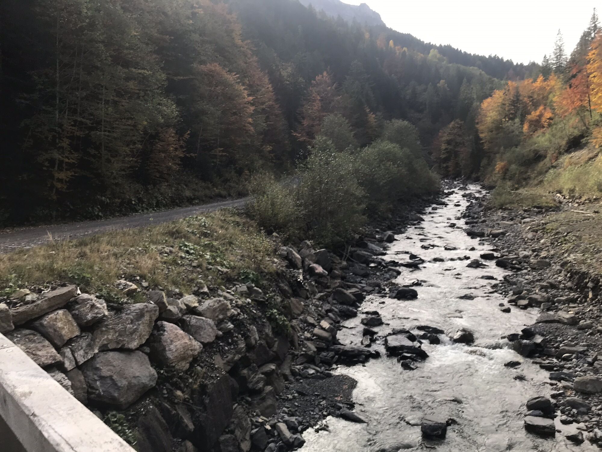
Argenau0,0 kmSägerstuben0,2 kmNeugrund0,2 kmAu (800 m)1,0 kmLisse1,2 kmPfarrkirche St. Leonhard1,2 kmBühlenvorsäß4,7 kmSchnepfau5,8 kmHirschau7,6 kmBrand8,9 kmMischen9,8 kmAchsiedlung10,2 kmTempel10,3 kmHirschlitten10,4 kmPlatz10,7 kmRistorante Pizzeria Sandro10,7 kmÜbermellen10,7 kmMellau10,8 kmMoos11,0 kmIslen11,1 kmEggbühel11,2 kmUnterrain11,5 kmBengath12,4 kmDös13,1 kmLindach Alpe19,2 kmHauser-Alpe20,6 kmAlphof Rossstelle29,7 kmRoßstelle29,7 kmBergrestaurant Simma29,7 kmJausenstation Wurzachalpe32,7 kmWurzach32,8 kmJausestation Obere Alpe33,8 kmAlpengasthof Edelweiss34,8 kmArgenzipfel40,5 kmLisse41,3 kmAu (800 m)41,4 kmArgenau42,0 km
- Punto álgido
- 1.642 m


GPS Downloads


Más circuitos por las regiones