© Verein Lechweg - Boxfish

- Breve descripción
-
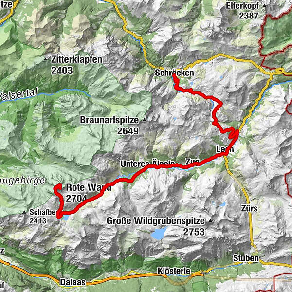
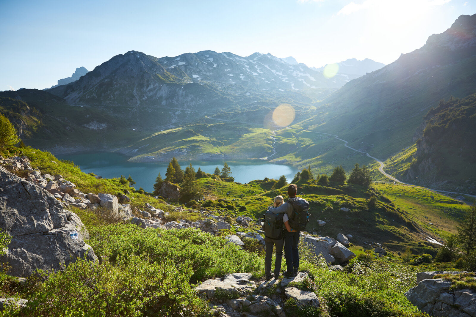
From the centre of Schröcken, take the wide gravel road up to Auenfeld. Via the Auenfeldsattel it goes now towards Oberlech and into the centre of Lech. Opposite the Hotel Post, you have to turn right over a bridge, then immediately turn left towards Zug. A paved road leads you now approx. 1 hour through Zug to the junction Spullersee/Formarinsee. Here you turn right to get to Lake Formarinsee. Through a beautiful landscape along the Lech, the road remains paved and becomes steeper on the last 600 meters. A wide gravel road leads past the Formarinsee and on to the Rote Wand. Return along the same route to Lech in the centre and take the bus back to Warth-Schröcken.
The tour can also be started in Warth. Here it goes over the Alte Salzstraße to the Hochtannbergpass and via the Salobersattel you get to the Auenfeld and further, as described above.
- Dificultad
-
difícil
- Valoración
-
- Ruta
-
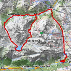
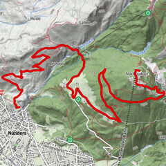
TannbergSchröcken (1.269 m)Materialseilbahn Körbersee0,1 kmUntere Auenfeldalpe5,2 kmAbzweigung Burgplateau10,3 kmGotikkirche Hl. Nikolaus12,9 kmLech (1.444 m)13,2 kmZug15,8 kmSebastianskirche16,0 kmKlösterle16,7 kmGasthof Auerhahn16,7 kmMaterialseilbahn Göppinger Hütte19,5 kmGasthaus Älpele19,5 kmFormarinalpe26,2 kmRote Wand (2.704 m)31,0 kmFormarinalpe36,0 kmGasthaus Älpele42,6 kmMaterialseilbahn Göppinger Hütte42,6 kmKlösterle45,2 kmGasthof Auerhahn45,4 kmZug46,1 kmSebastianskirche46,1 kmLech (1.444 m)48,7 km
- La mejor temporada
-
enefebmarabrmayjunjulagosepoctnovdic
- Punto álgido
- 2.637 m
- Punto final
-
Village square Warth/Village square Schröcken
- Perfil alto
-

-

-
AutorLa gira Bike & Hike Rote Wand (2.704 m) es utilizado por outdooractive.com proporcionado.
GPS Downloads


Información general
Secreto
Vistas panorámicas
Más circuitos por las regiones


 Lech Zuers Tourismus by Hanno Mackowitz")