
- Breve descripción
-
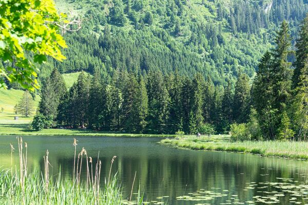
Eine ebene Strecke mit unzähligen Varianten für jedermann.
- Dificultad
-
fácil
- Valoración
-
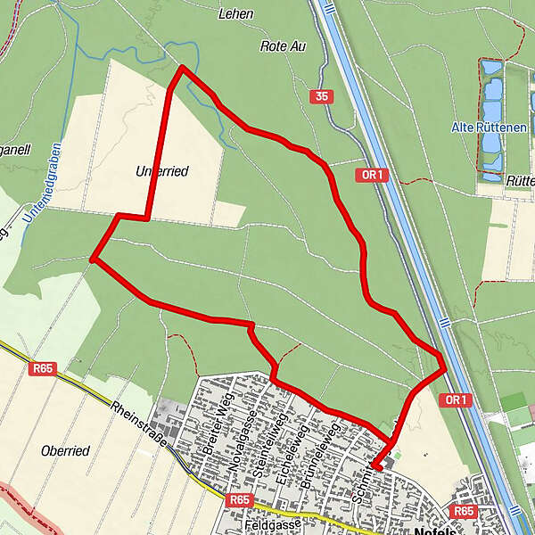
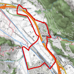
- Ruta
-
FeldkirchUnterried2,5 kmFeldkirch5,7 km
- La mejor temporada
-
enefebmarabrmayjunjulagosepoctnovdic
- Punto álgido
- 453 m
- Punto final
-
Volksschule Nofels

- Autor
-
La gira Nofels Matschels es utilizado por outdooractive.com proporcionado.
GPS Downloads


Más circuitos por las regiones
-
Appenzellerland
44
-
St. Galler Rheintal
42
-
Meiningen
16


")