© Graubünden Ferien - normierte Touren - Antonella Klee

© Graubünden Ferien - normierte Touren - Marco Hartmann

© Graubünden Ferien - normierte Touren - Marco Hartmann

© Graubünden Ferien - normierte Touren - Marco Hartmann

© Graubünden Ferien - normierte Touren - Marco Hartmann

© Graubünden Ferien - normierte Touren - Marco Hartmann
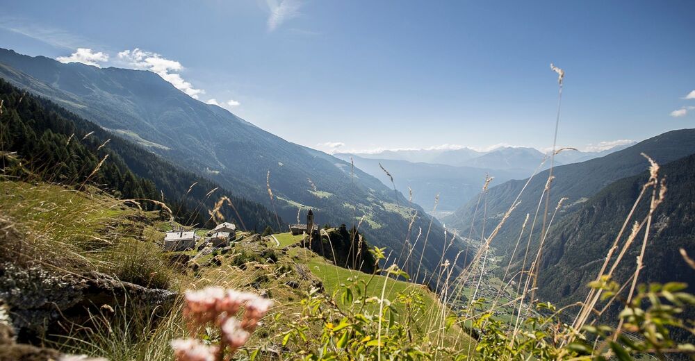
© Unbekannt
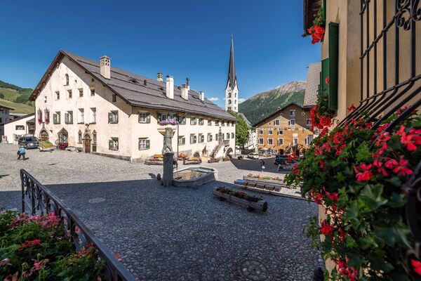
© Graubünden Ferien - normierte Touren - Antonella Klee
- Breve descripción
-
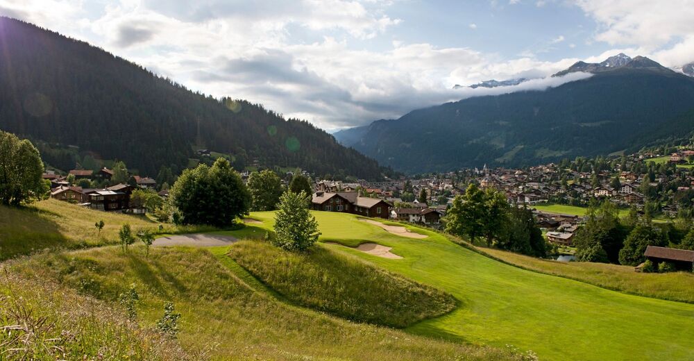
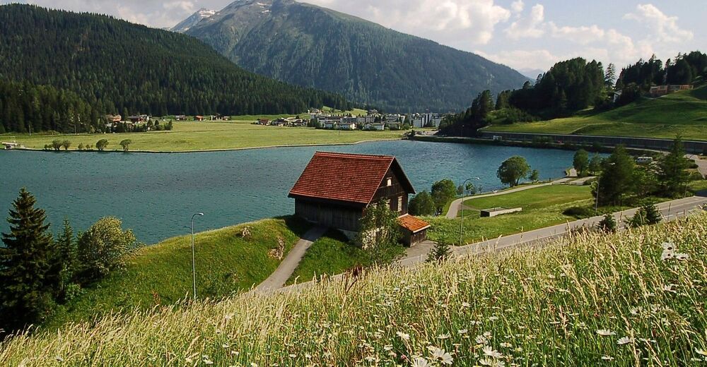
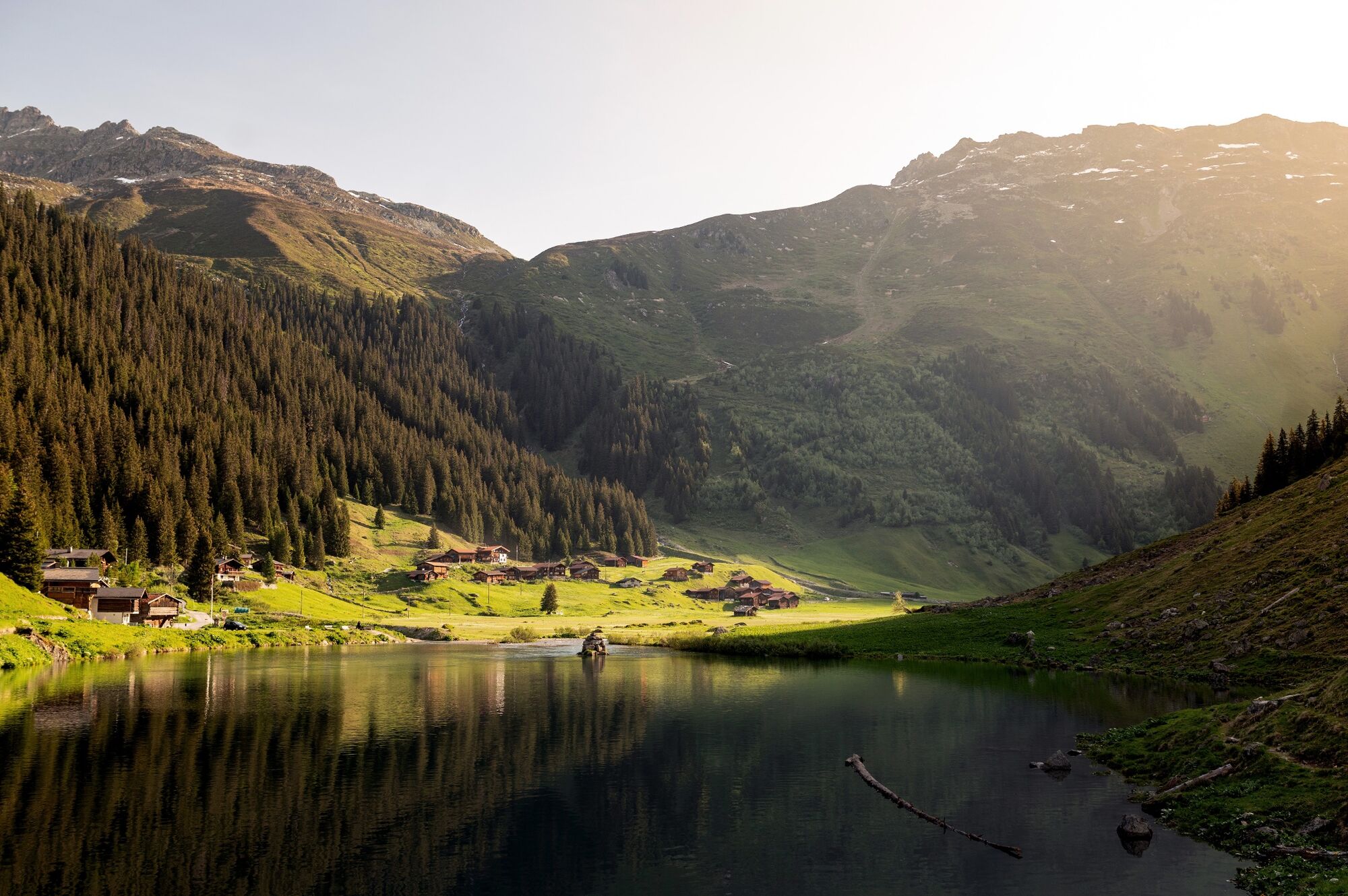
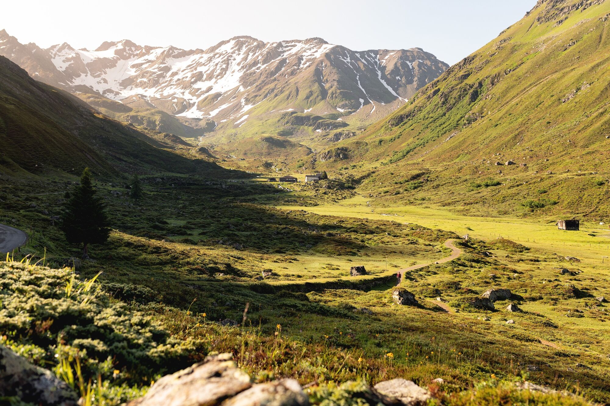
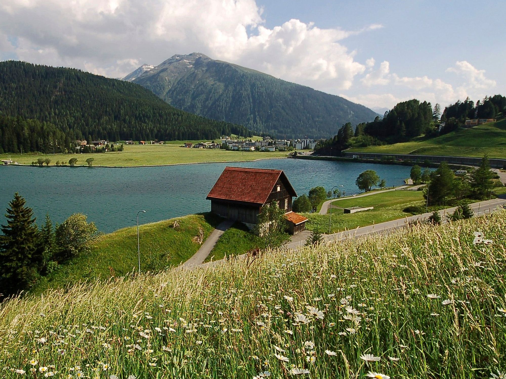
Wine from Veltlin has been imported to Graubunden and Voralberg for hundreds of years. One of the pack-mule routes led from Veltlin via Davos into Montafon. The historic route has been revived as the ViaValtellina, an attractive long-distance hiking route.
- Dificultad
-
medio
- Valoración
-
- Ruta
-
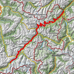
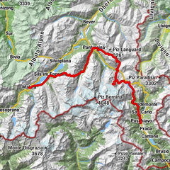
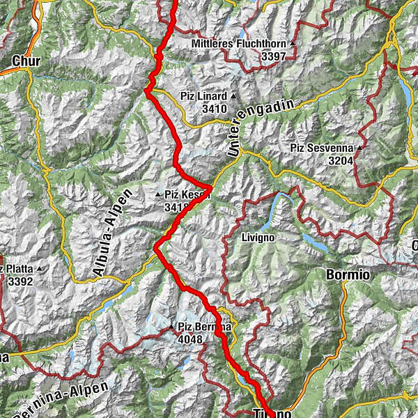
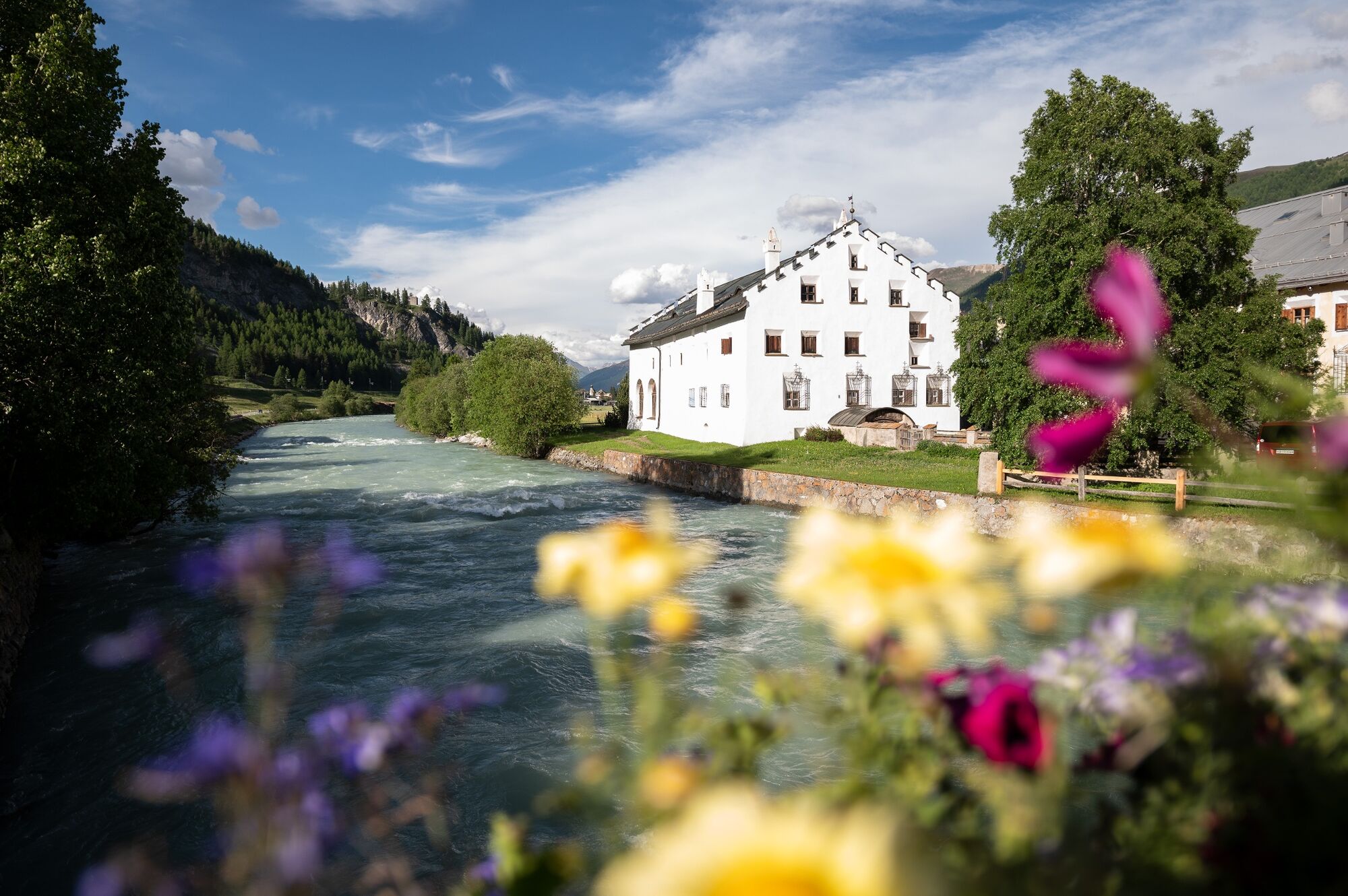
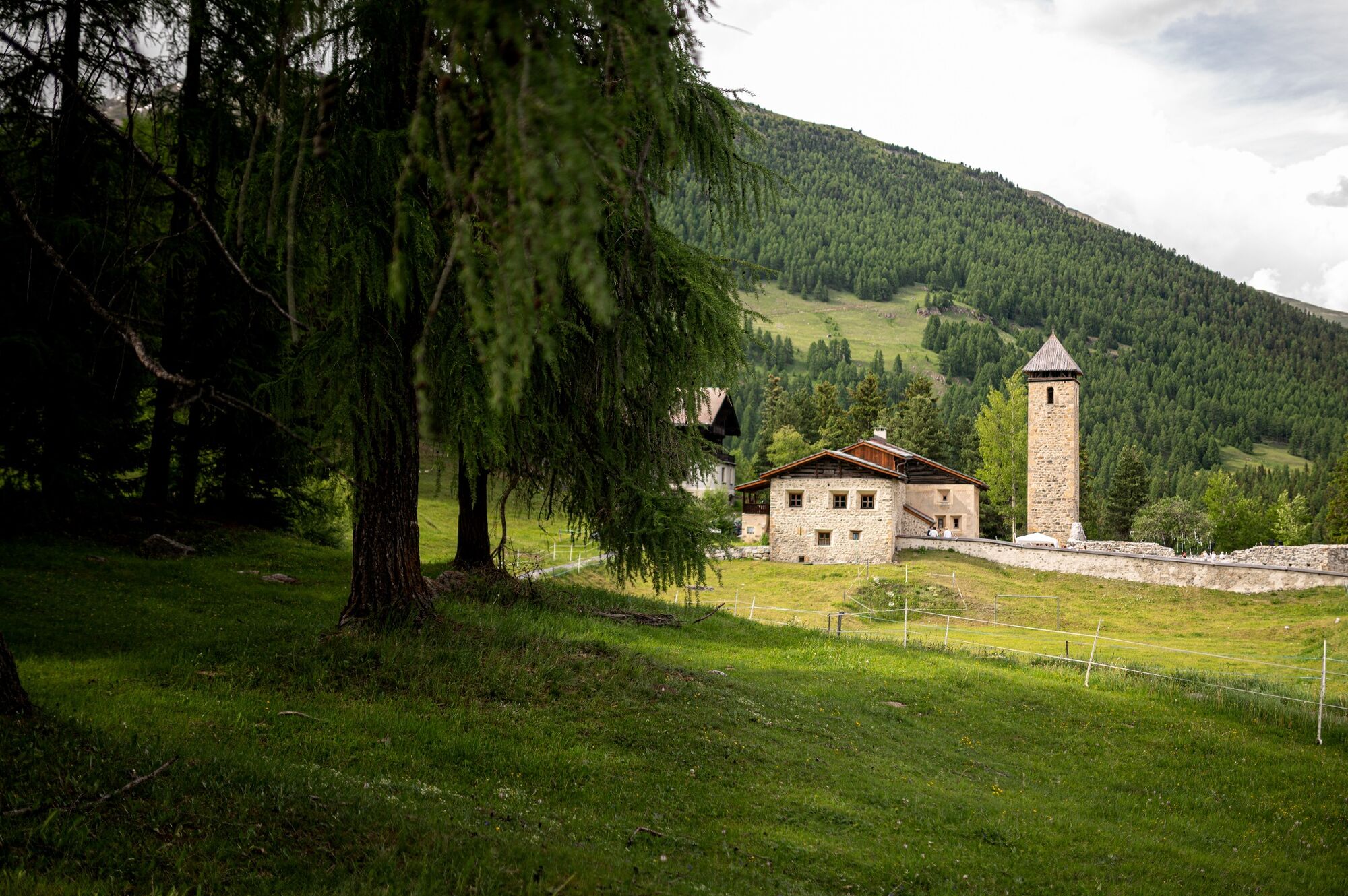
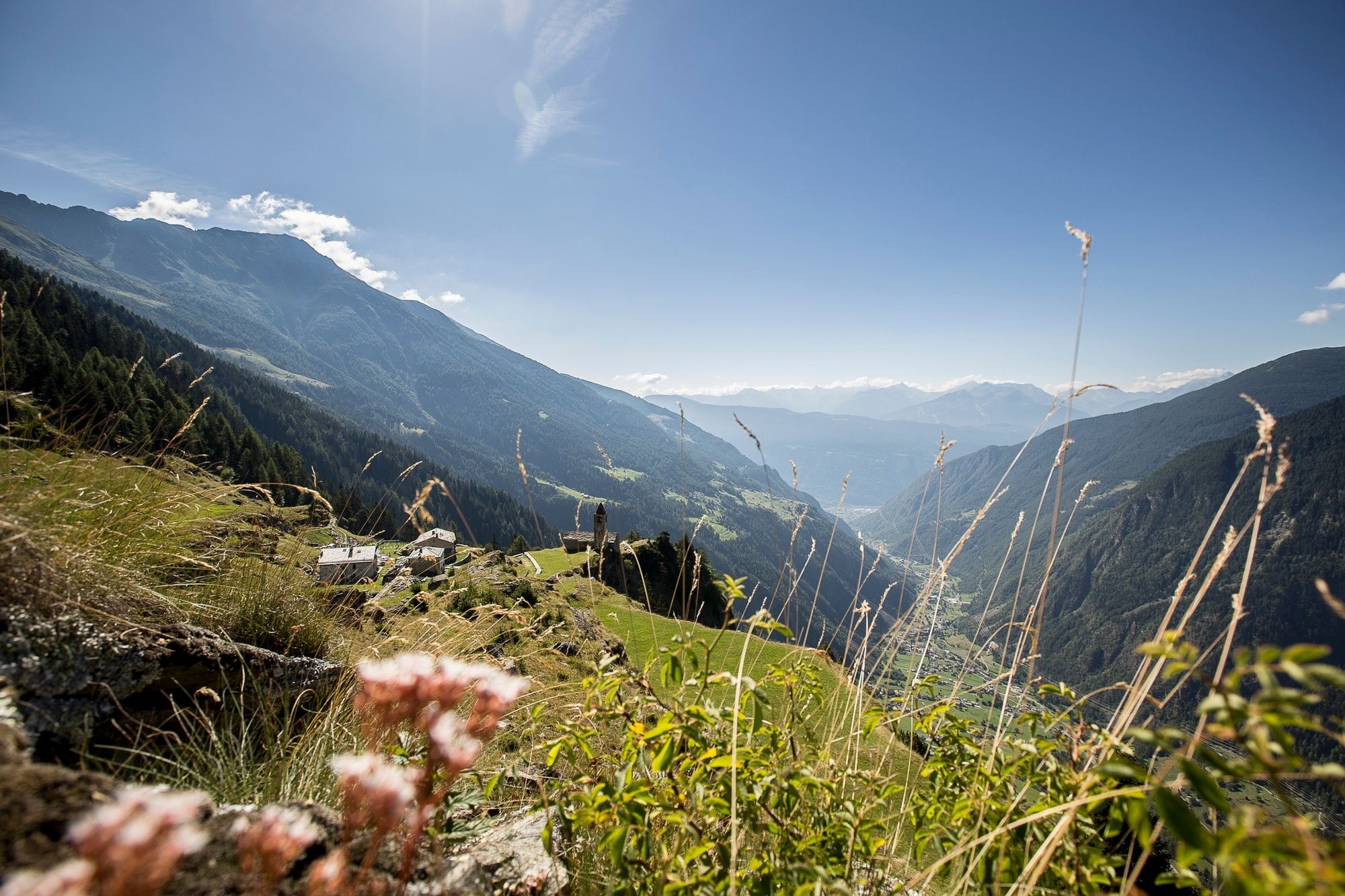
GargellenKuratienkirche Hl. Maria Magdalena0,0 kmVergalda1,2 kmMadrisahütte2,5 kmUntere Valzifenzalpe3,0 kmSchlappin (1.658 m)9,4 kmSchlappin See9,7 kmBerghaus Erika9,7 kmPizzeria Madrisa-Mia13,5 kmKlosters Dorf13,8 kmKlosters Platz (1.191 m)15,5 kmCavadürli (1.352 m)16,9 kmDavos-Laret (1.522 m)19,9 kmReformierte Kirche20,8 kmUnter-Laret (1.506 m)20,9 kmWolfgang22,6 kmKessler’s Kulm Restaurant22,7 kmDavos Wolfgang (1.625 m)22,8 kmSolaria27,5 kmTeufi (1.700 m)32,6 kmAm Rin (1.846 m)36,3 kmDürrboden (2.007 m)39,5 kmBerggasthaus Dürrboden39,5 kmReformierte Kirche54,5 kmSusauna54,6 kmChapella56,3 kmKirche St. Ulrich und Nikolaus und Hospiz56,9 kmS-chanf (1.660 m)59,9 kmReformierte Kirche60,0 kmS-chanf (1.670 m)60,1 kmKapelle St. Katharina und Barbara62,4 kmReformierte Kirche San Luzi62,5 kmZuoz (1.716 m)62,6 kmChapella San Bastiaun62,8 kmChaunt da Crusch63,4 kmMadulain (1.697 m)65,1 kmReformierte Kirche65,3 kmLa Punt Chamues-ch (1.687 m)66,5 kmLa Punt66,5 kmBurdun66,6 kmPiste 2172,6 kmSamaden (1.721 m)74,4 kmPontresina (1.774 m)80,4 kmSan Spiert81,2 kmPontresina (1.805 m)81,3 kmSurovas (1.822 m)81,9 kmMorteratsch (1.896 m)87,1 kmMorteratsch87,3 kmCascata da Bernina87,7 kmBernina Suot (2.046 m)89,8 kmBahnhofbuffet Ospizio Bernina96,9 kmOspizio Bernina (2.253 m)97,0 kmAlp Grüm101,6 kmBelvedere101,7 kmAlp Grüm (2.091 m)102,0 kmAlbergo Ristorante Stazione Alp Grüm102,1 kmAgriturismo Palü103,0 kmCavaglia104,7 kmBuffet Diego105,0 kmStazione Cavaglia105,1 kmCavaglia (1.692 m)105,1 kmCadera108,1 kmPoschiavo (1.014 m)111,2 kmCollegiata di San Vittore Mauro111,2 kmCologna112,6 kmPrada113,8 kmPagnoncini114,9 kmSan Romerio119,9 kmAlpe San Romerio119,9 kmViano125,3 kmI Ruman125,5 kmPensione Monigatti125,6 kmLa Bosca128,1 kmL'Cuc128,1 kmLa Piata128,4 kmCamp Lunc128,7 kmLi Brati129,0 kmLa Crus129,3 kmRoncaiola130,0 kmChiesa di Santo Stefano130,0 kmTirano (441 m)131,7 km
- La mejor temporada
-
enefebmarabrmayjunjulagosepoctnovdic
- Punto álgido
- 2.602 m
- Punto final
-
Tirano (I)
- Perfil alto
-


- Autor
-
La gira 30 Via Valtellina es utilizado por outdooractive.com proporcionado.
GPS Downloads


Información general
Punto de avituallamiento
Flora
Vistas panorámicas
Más circuitos por las regiones
-
Engadin St. Moritz
782
-
Zuoz
188