© EVAdinarica Project - EVA dinarica


- Breve descripción
-
Hiking from Amsterdam to the Balkans. This is the the first day in Austria where I hike towards the Via Alpina Red Trail.
- Dificultad
-
fácil
- Valoración
-
- Ruta
-
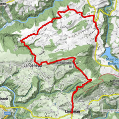
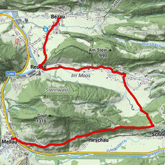
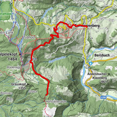
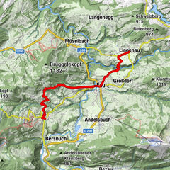
Bregenz (427 m)0,1 kmHard3,3 kmFußach6,4 kmLorettokapelle11,5 kmLustenau (404 m)12,5 kmPfarrkirche "St. Peter und Paul"12,5 kmZum Guten Hirten14,0 kmWalhalla Stüble15,1 kmAm Rohr16,0 kmMeierhof17,9 kmHohenems (432 m)20,6 kmMandarin21,3 kmKapellefeld22,7 kmBauern22,7 kmPetersbünt22,7 kmNepomukkapelle22,8 kmUntere Witzge22,9 kmIsel23,1 kmBütze24,0 km
- La mejor temporada
-
enefebmarabrmayjunjulagosepoctnovdic
- Punto álgido
- 417 m
- Perfil alto
-


-

-
AutorLa gira Towards the Alps: Bregenz - Altach (day 76) es utilizado por outdooractive.com proporcionado.
GPS Downloads


Información general
Punto de avituallamiento
Más circuitos por las regiones
-
St. Gallen - Bodensee
2070
-
Bodensee - Vorarlberg
1315
-
Lustenau
343