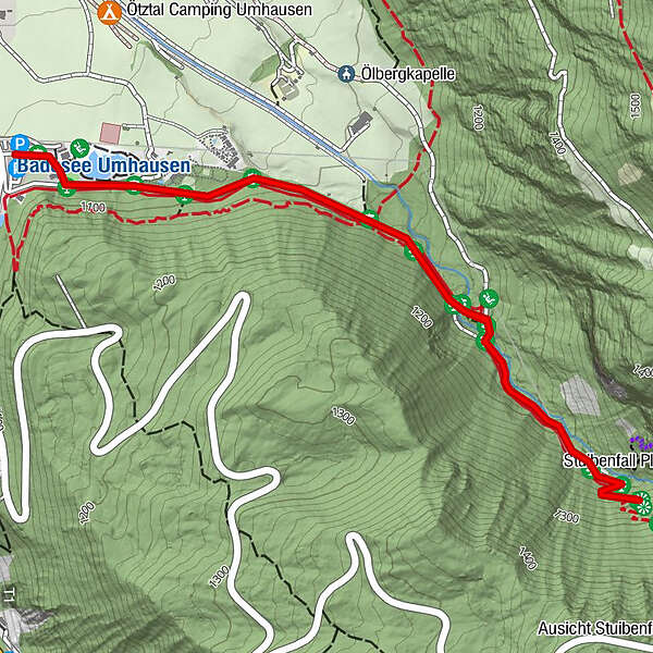
Hiking Trail Stuibenfall - Umhausen 301

Senderismo de invierno


- Breve descripción
-
CAR PARK BISCHOFFSPLATZ->Stuibenfall->CAR PARK BISCHOFFSPLATZ
- Dificultad
-
fácil
- Valoración
-
- Ruta
-
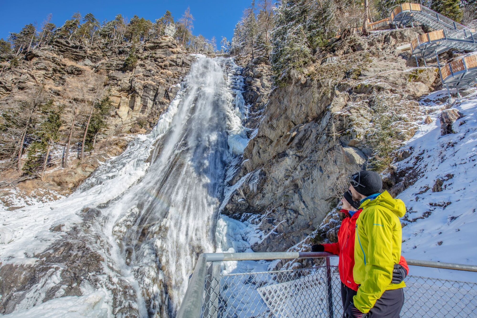
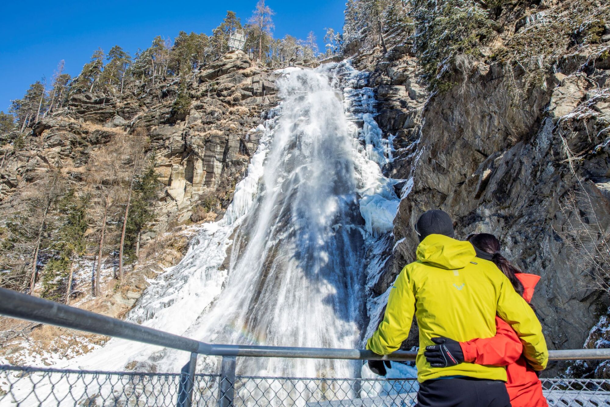
Waldcafe Stuböbele0,9 kmStuibenfall Platform 11,5 kmStuibenfall1,7 km
- La mejor temporada
-
agosepoctnovdicenefebmarabrmayjunjul
- Punto álgido
- 1.249 m
- Punto final
-
car park Bischoffsplatz
- Perfil alto
-


- Autor
-
La gira Hiking Trail Stuibenfall - Umhausen 301 es utilizado por outdooractive.com proporcionado.
GPS Downloads


Información general
Punto de avituallamiento
Vistas panorámicas
Más circuitos por las regiones
-
Pitztal
95
-
Umhausen im Ötztal
53