
Datos del tour
8,12km
1.655
- 2.319m
683hm
670hm
03:03h

- Breve descripción
-
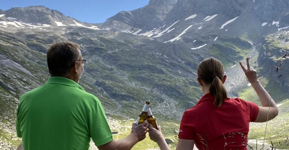
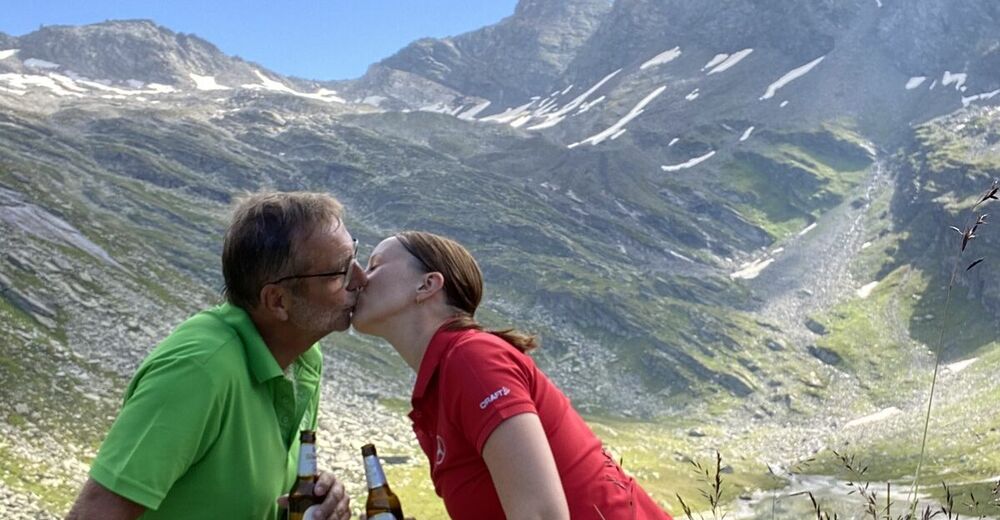
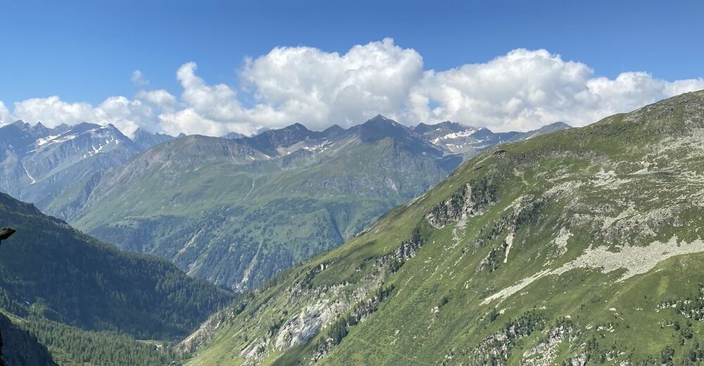
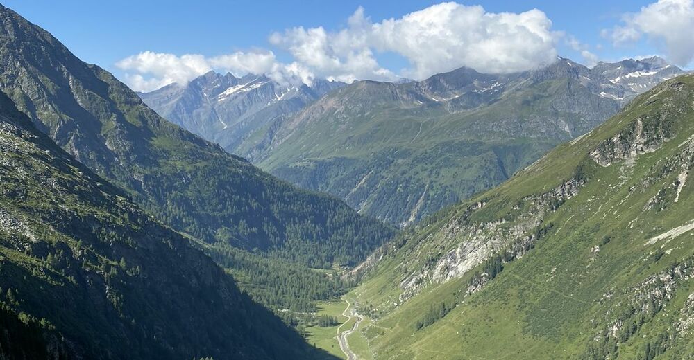
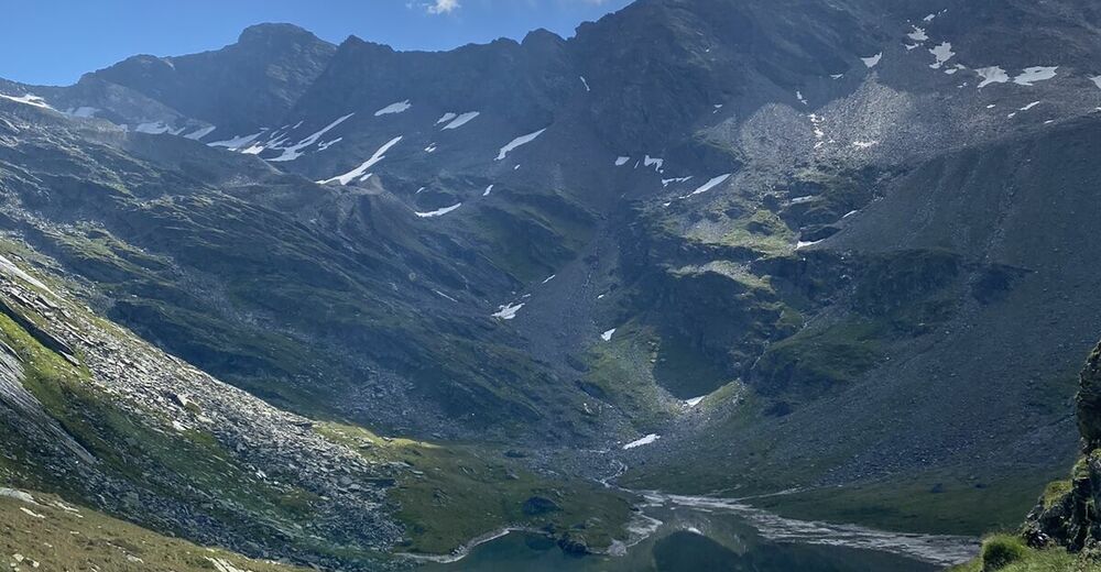
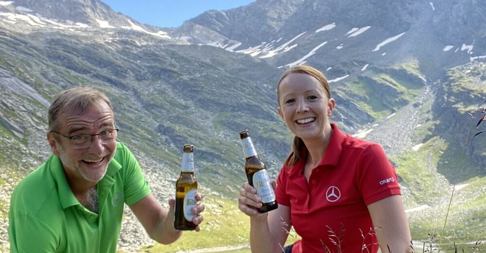
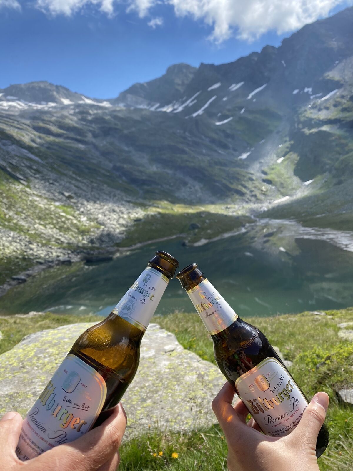
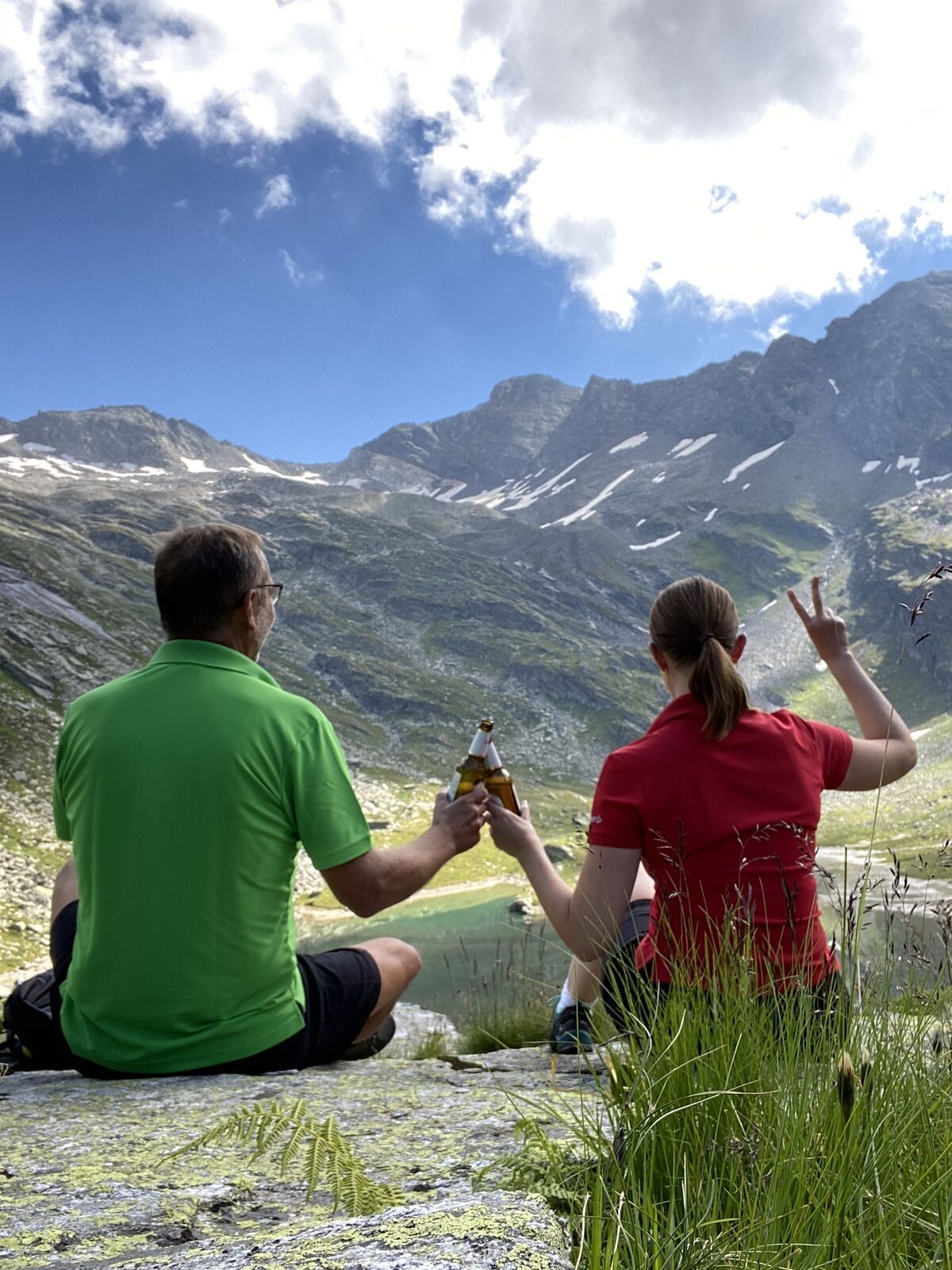
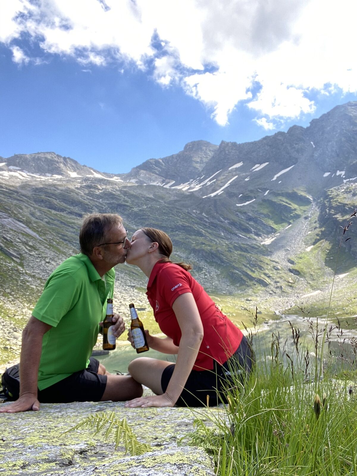
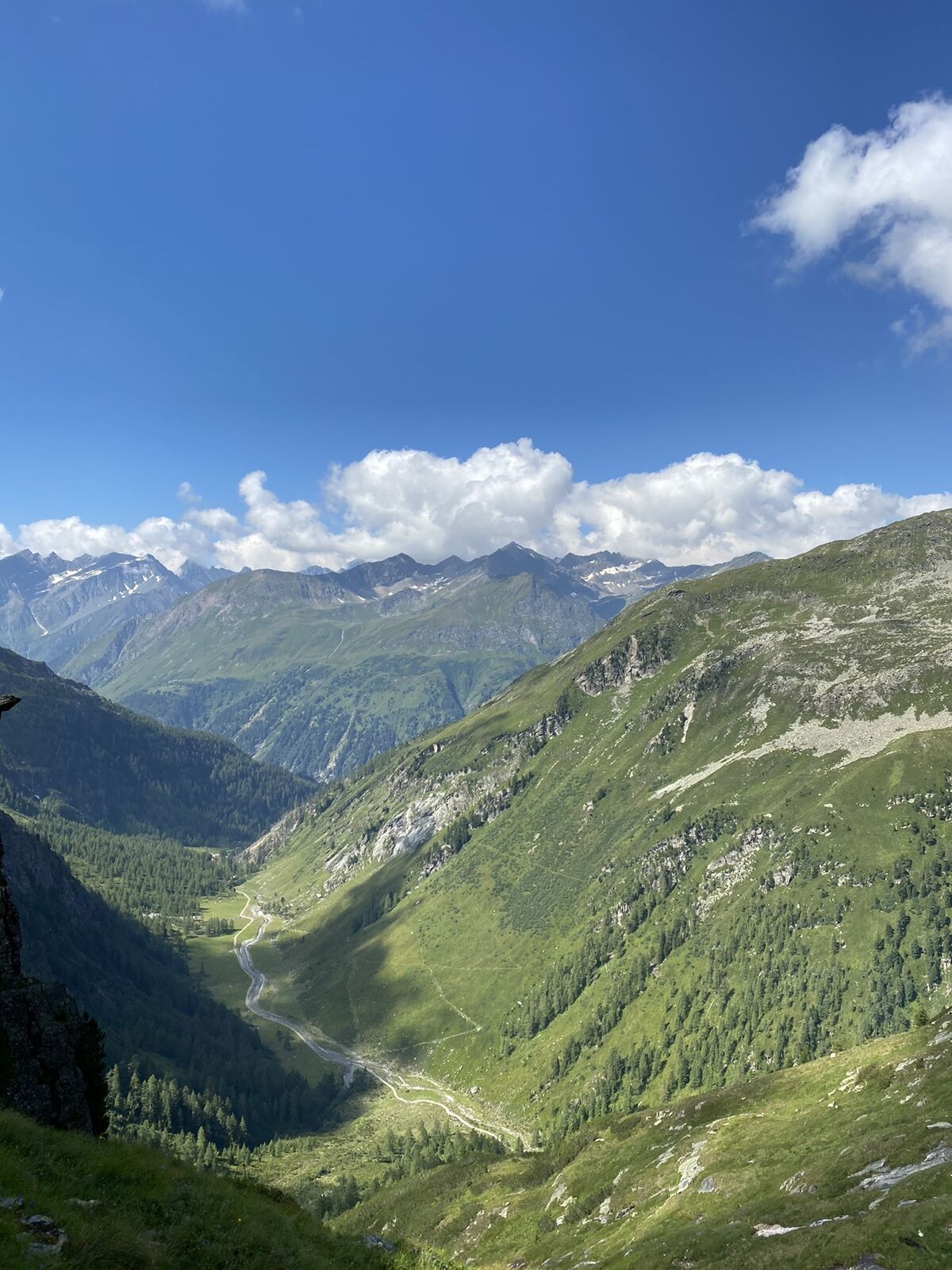
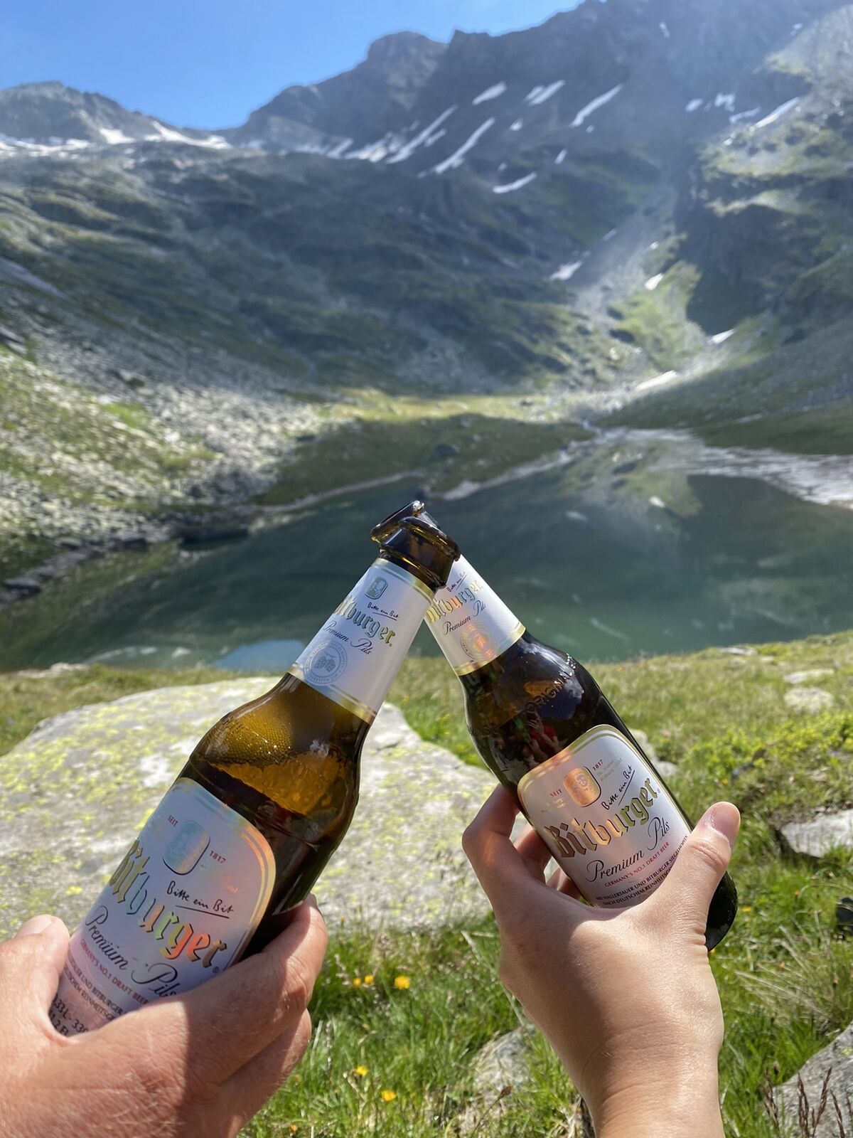
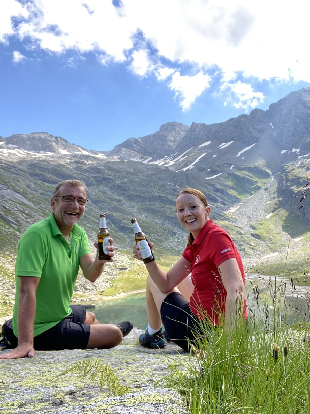
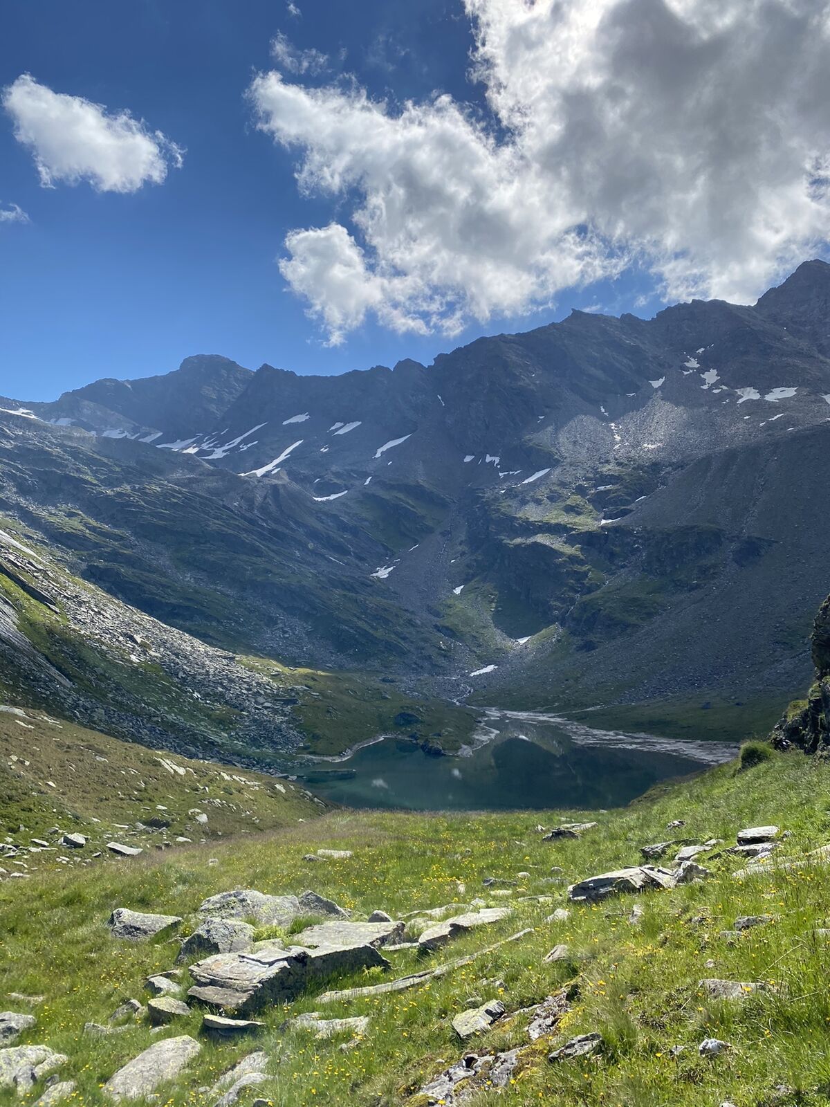
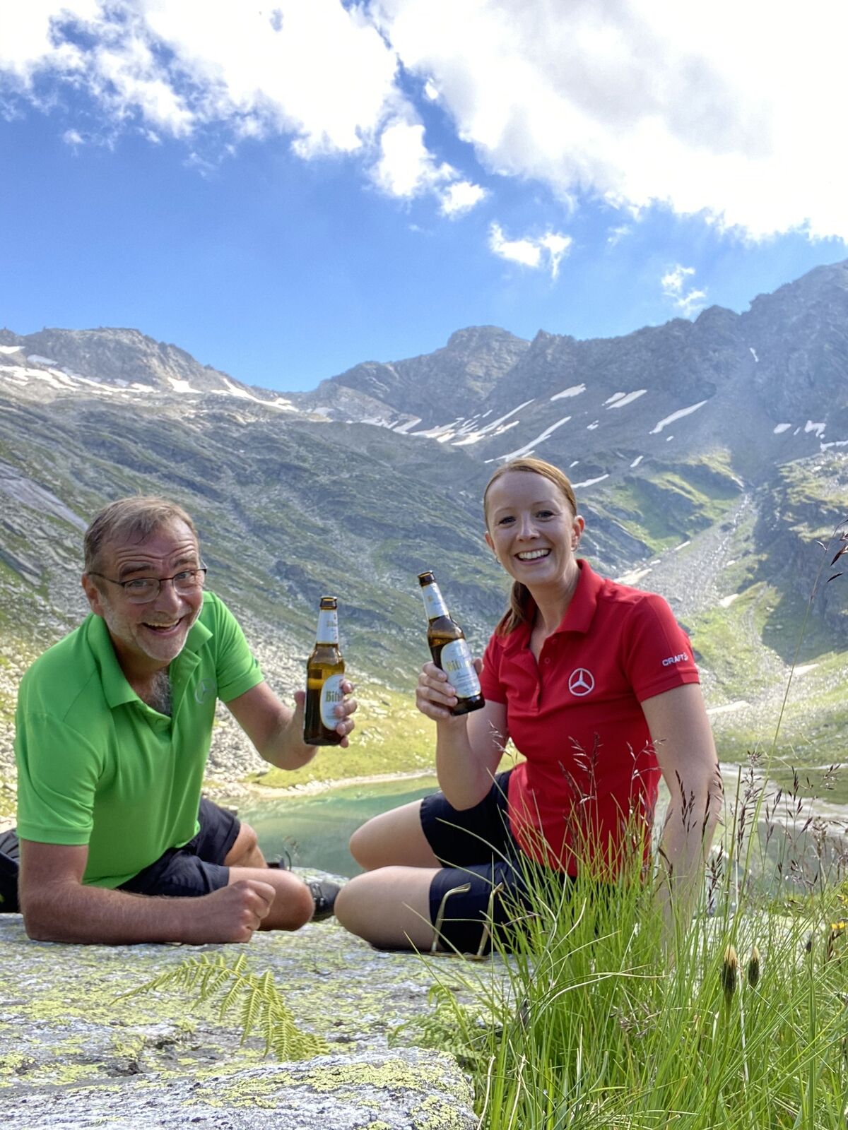
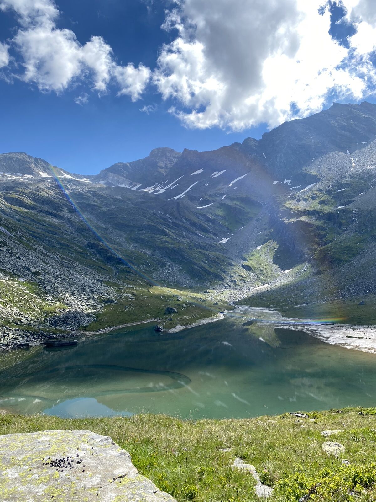
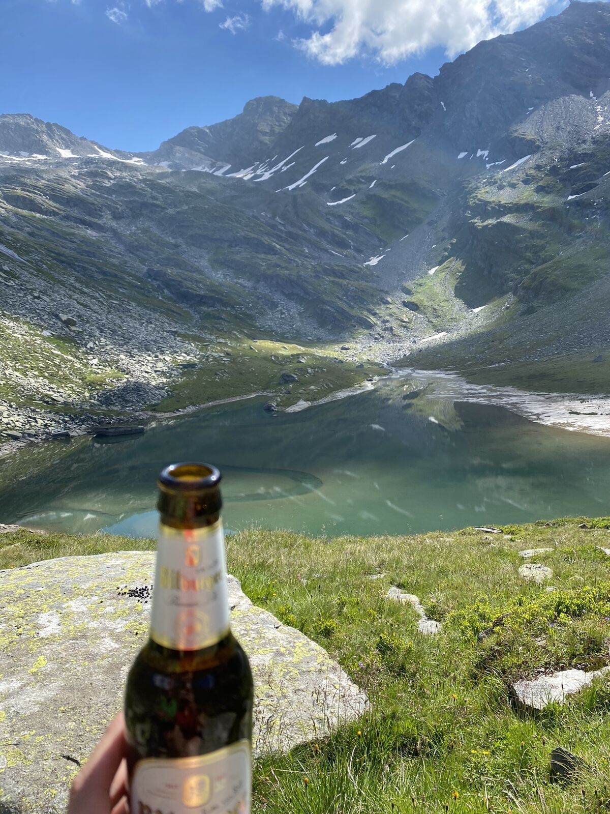
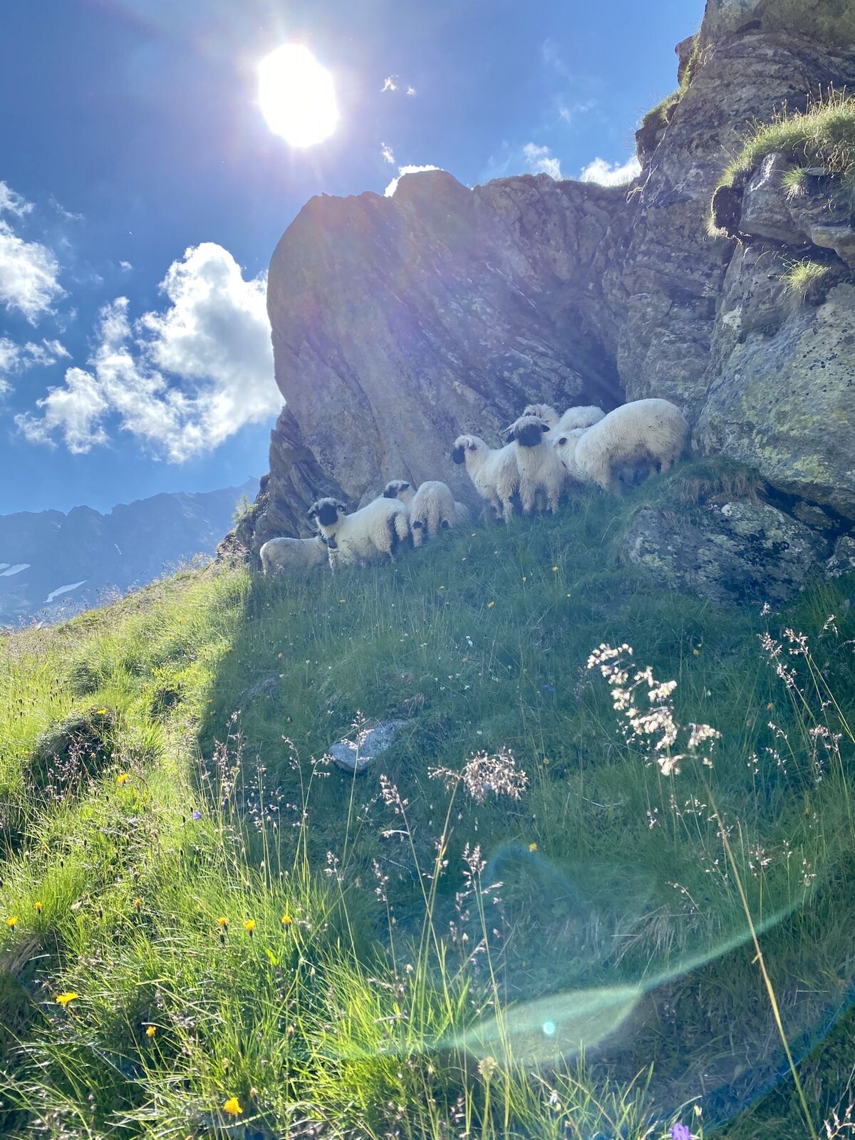
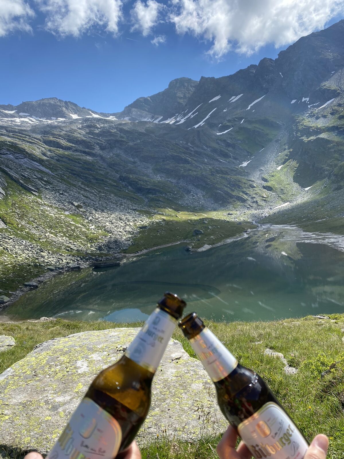
Kurze aber knackige Wanderung zu einem wunderschönen Bergsee - Achtung: keine Markierungen!
- Dificultad
-
medio
- Valoración
-
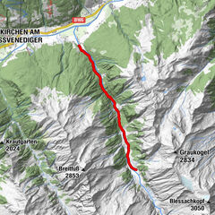
- Ruta
-
Landeckalm (1.687 m)0,3 kmSeetörl4,6 kmLandeckalm (1.687 m)8,0 km
- La mejor temporada
-
enefebmarabrmayjunjulagosepoctnovdic
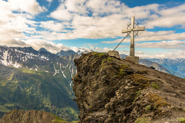
- Punto álgido
- 2.319 m


GPS Downloads


Más circuitos por las regiones