Datos del tour
3km
631 - 846m
Distancia
248hm
233hm
Ascenso
00:55h
 
Duración
Breve descripción

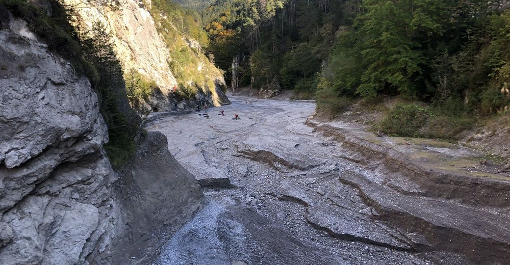
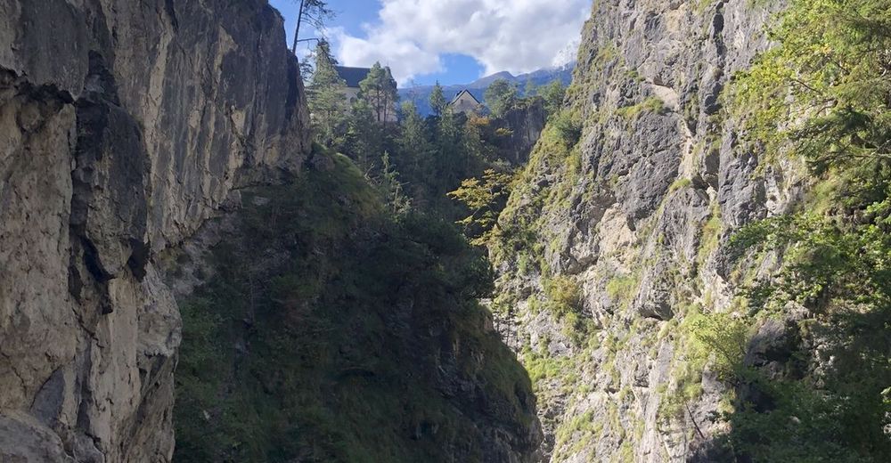
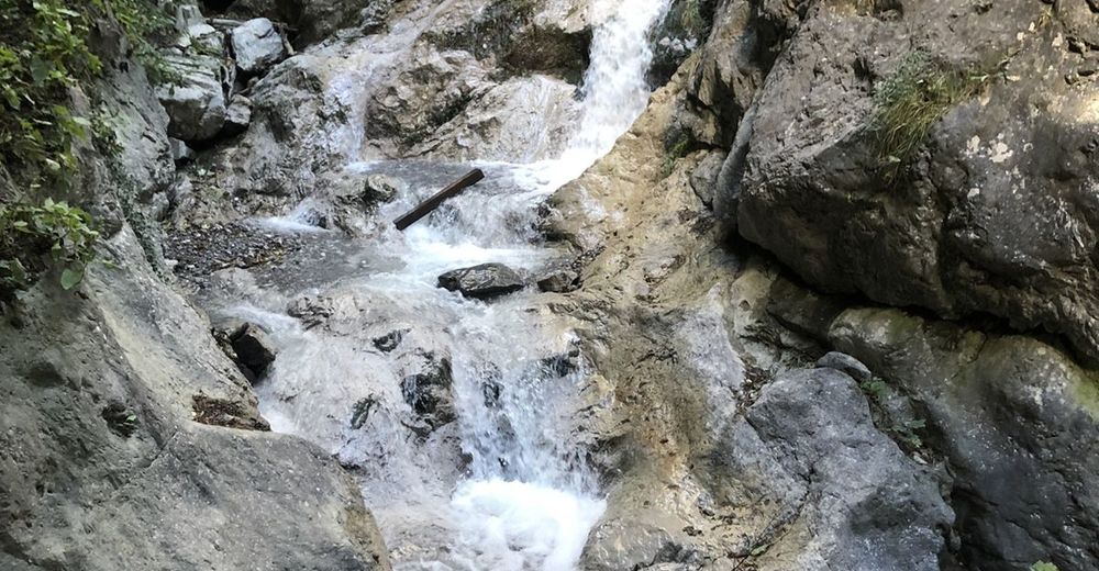
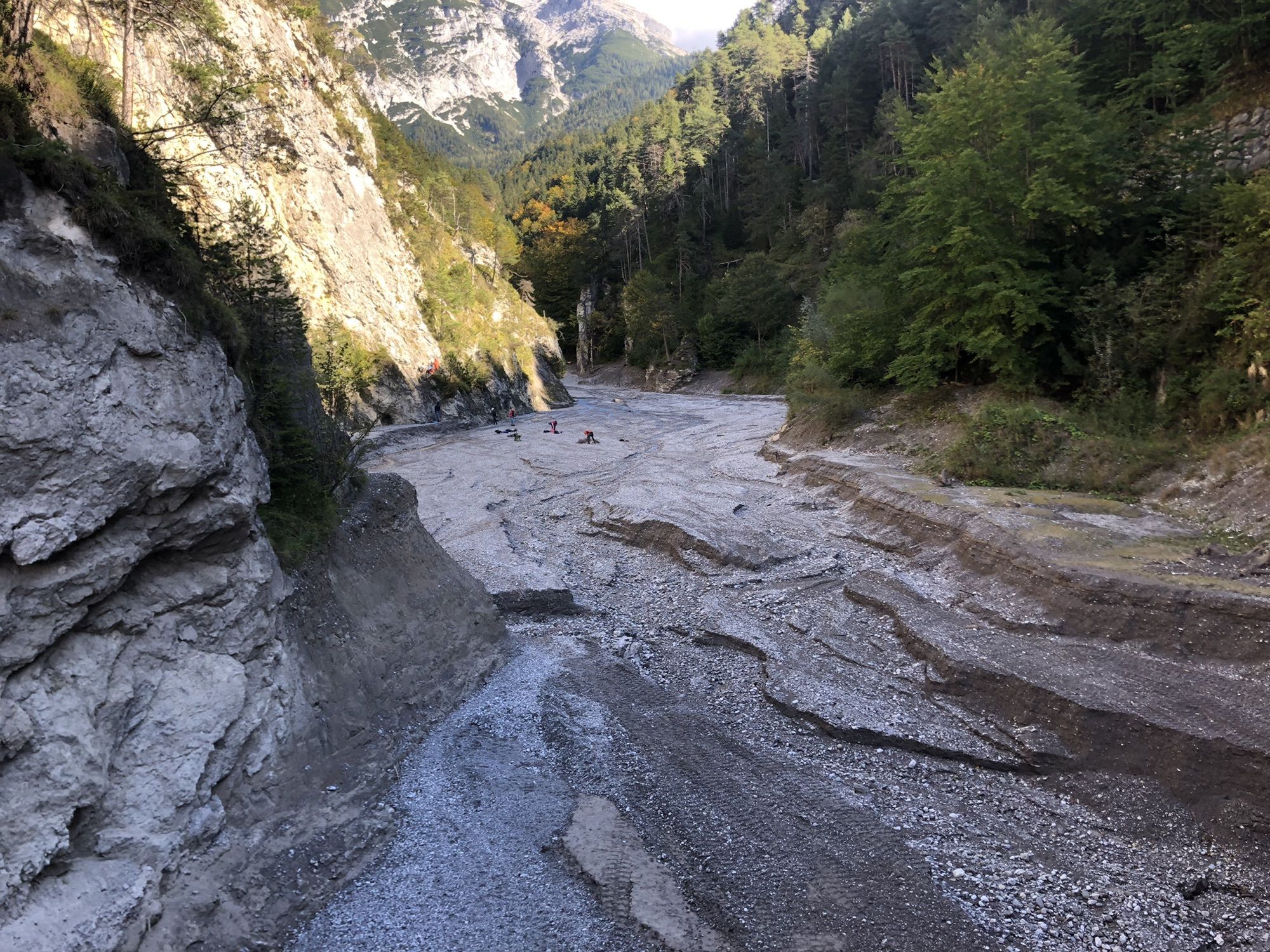
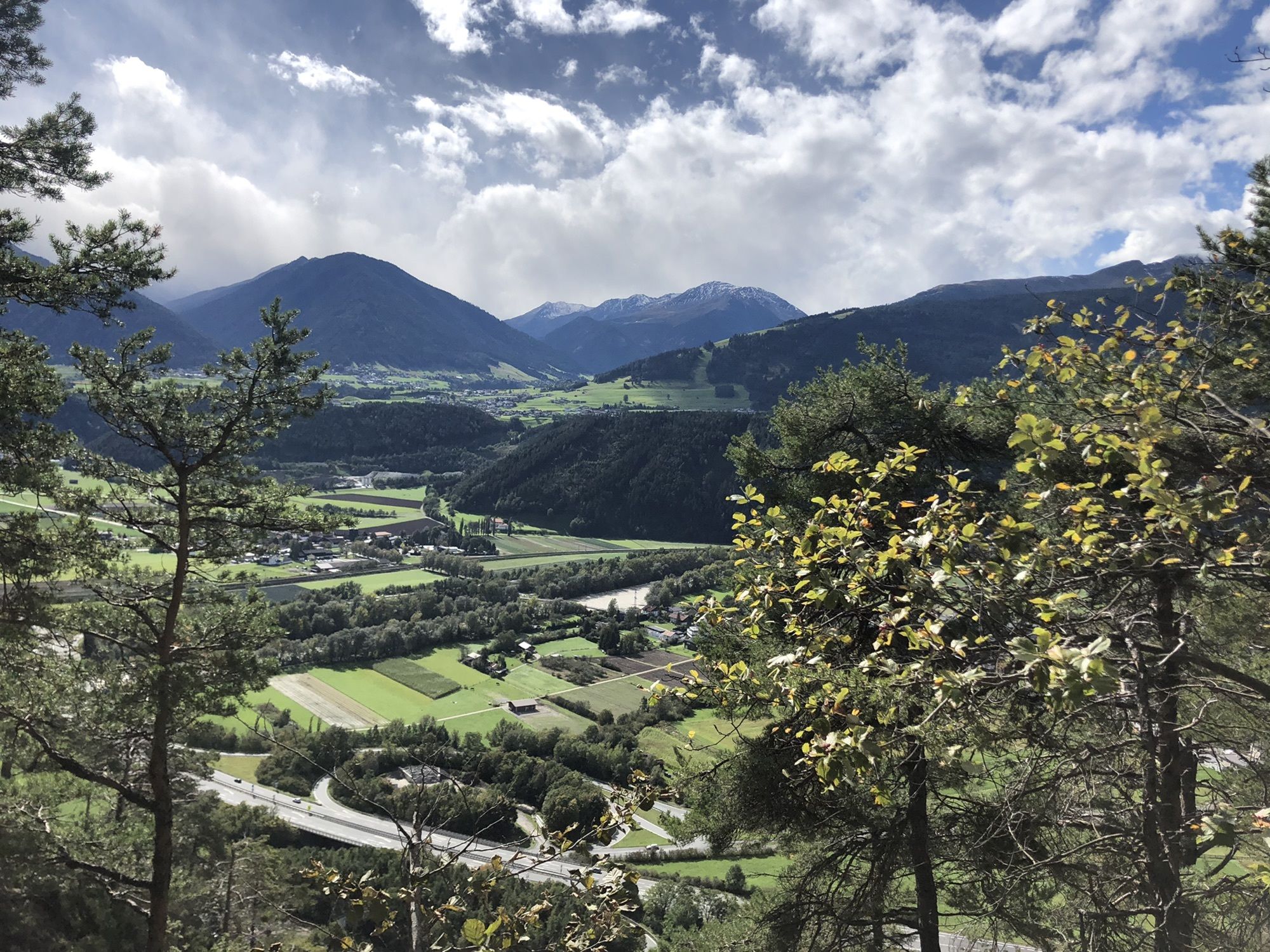
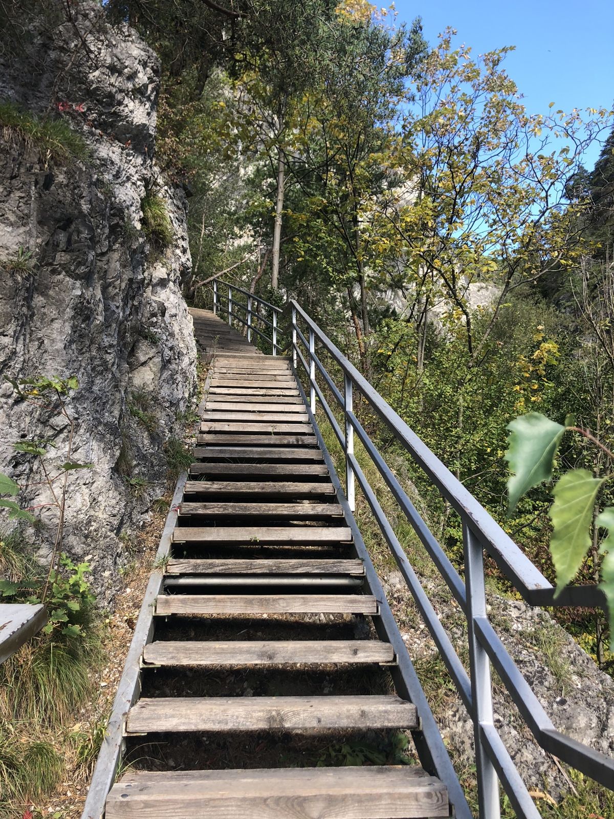
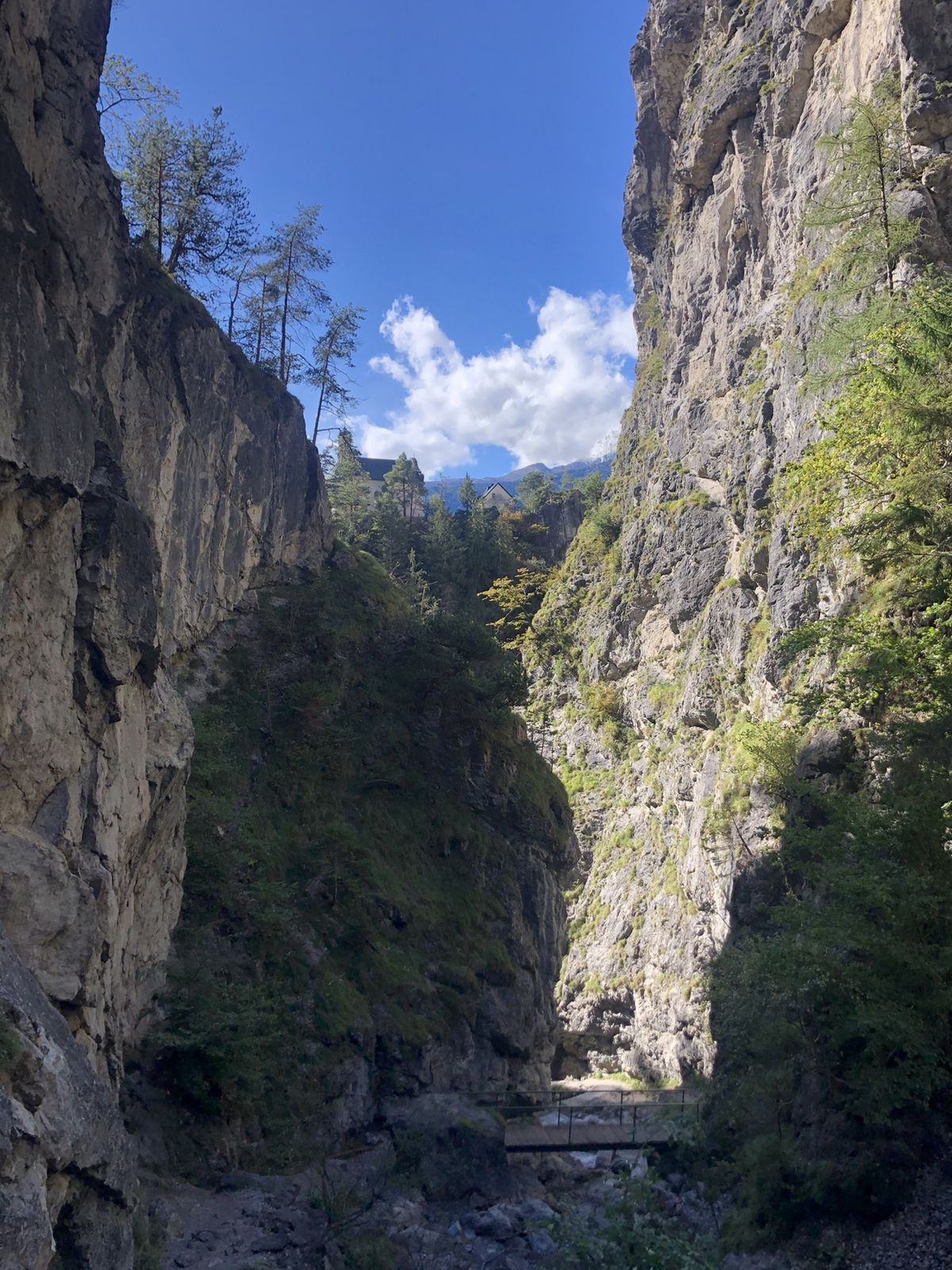
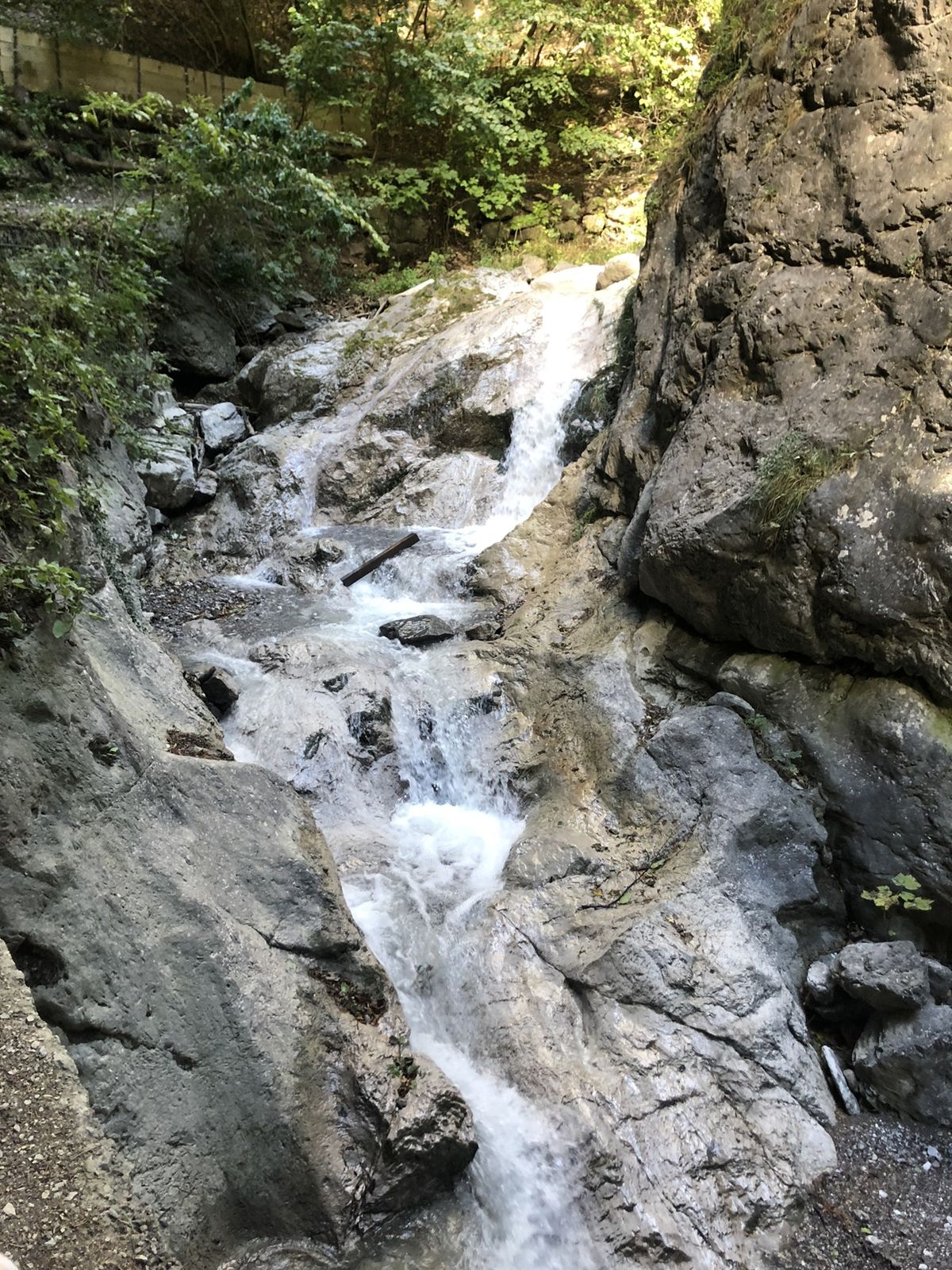
Durch die Klamm hinauf und den Fahrweg hinunter

Dificultad
medio
Valoración
Técnica
Nivel
Paisaje
Experiencias
Ruta
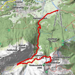
Kalvarienbergkirche (10. Kreuzwegstation)
0,4 km
Staumauer Ehnbachklamm (Gspan-Sperre)
1,1 km

La mejor temporada
ene
feb
mar
abr
may
jun
jul
ago
sep
oct
nov
dic
Punto álgido
846 m

4,0
Valoración global

5

50

%

4

0

%

3

50

%

2

0

%

1

0

%

GPS Downloads
  • GPX GPS Exchange Format (XML)
  • KML Google Earth, Google Maps
Códigos de descarga QR para teléfonos móviles
Más circuitos por las regiones

Excursiones opcionales por los alrededores

"Königstour" über die Gipfel

Senderismo
4,52km | 322hm | 04:00h

Höllentalklamm & Höllentorkopf - ein Rundweg

difícil Senderismo
16,9km | 1336hm | 08:00h

Über die Seefelder Spitze, 2.220 m

Senderismo
9,68km | 1094hm | 06:00h