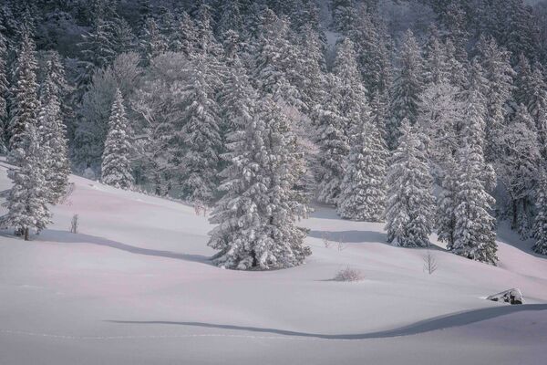
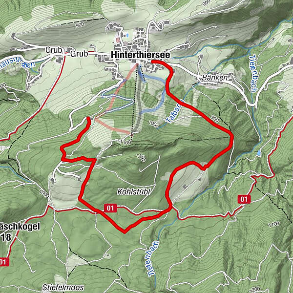
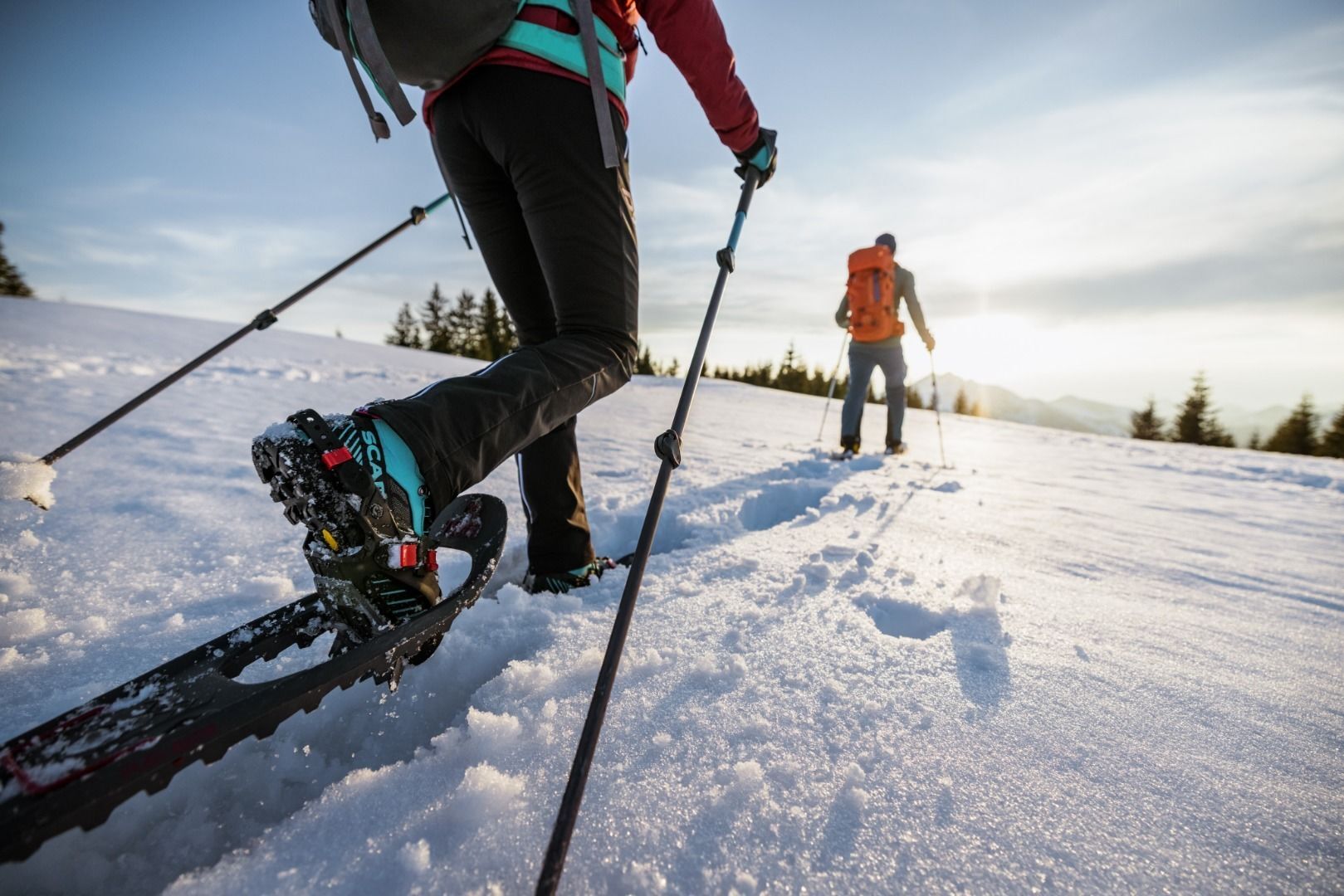
Snowshoe hiking Schattberg Thiersee

Senderismo de invierno

© TVB Kufsteinerland - Max Draeger

© TVB Kufsteinerland - Max Draeger

© TVB Kufsteinerland - Max Draeger

© TVB Kufsteinerland - Quirin Leppert / Tirol Werbung

- Breve descripción
-
Around the Schattberg, this circuit lives up to its name.
- Dificultad
-
fácil
- Valoración
-
- Ruta
-
HinterthierseeVorderthiersee-Blick0,3 kmWieshof4,2 km
- La mejor temporada
-
agosepoctnovdicenefebmarabrmayjunjul
- Punto álgido
- 1.067 m
- Punto final
-
Wieshof
- Perfil alto
-


- Autor
-
La gira Snowshoe hiking Schattberg Thiersee es utilizado por outdooractive.com proporcionado.
GPS Downloads


Más circuitos por las regiones
-
Kufsteinerland
190
-
Thierseetal
47