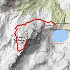
Datos del tour
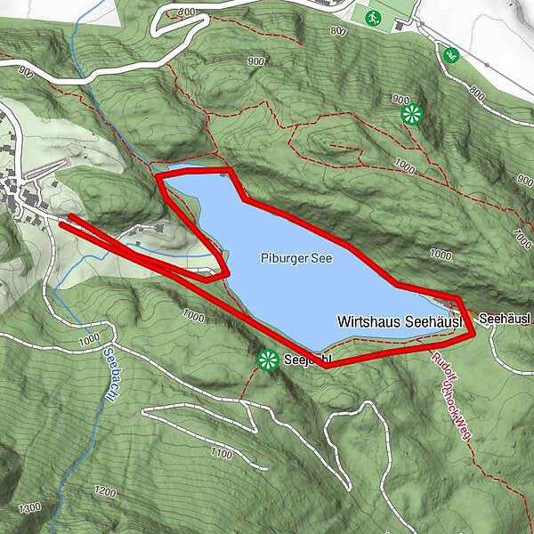
2,75km
918
- 962m
60hm
60hm
01:00h
- Breve descripción
-
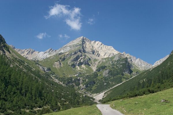
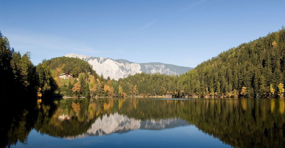
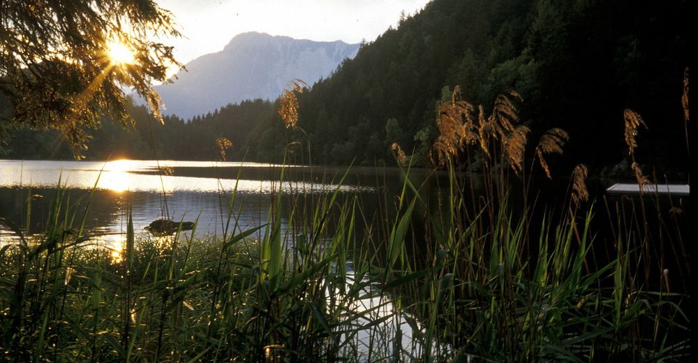
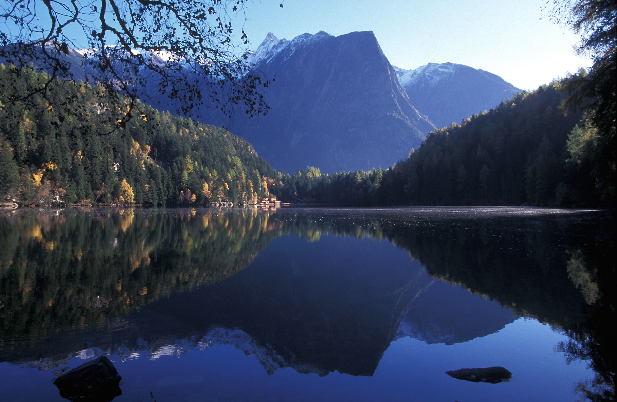
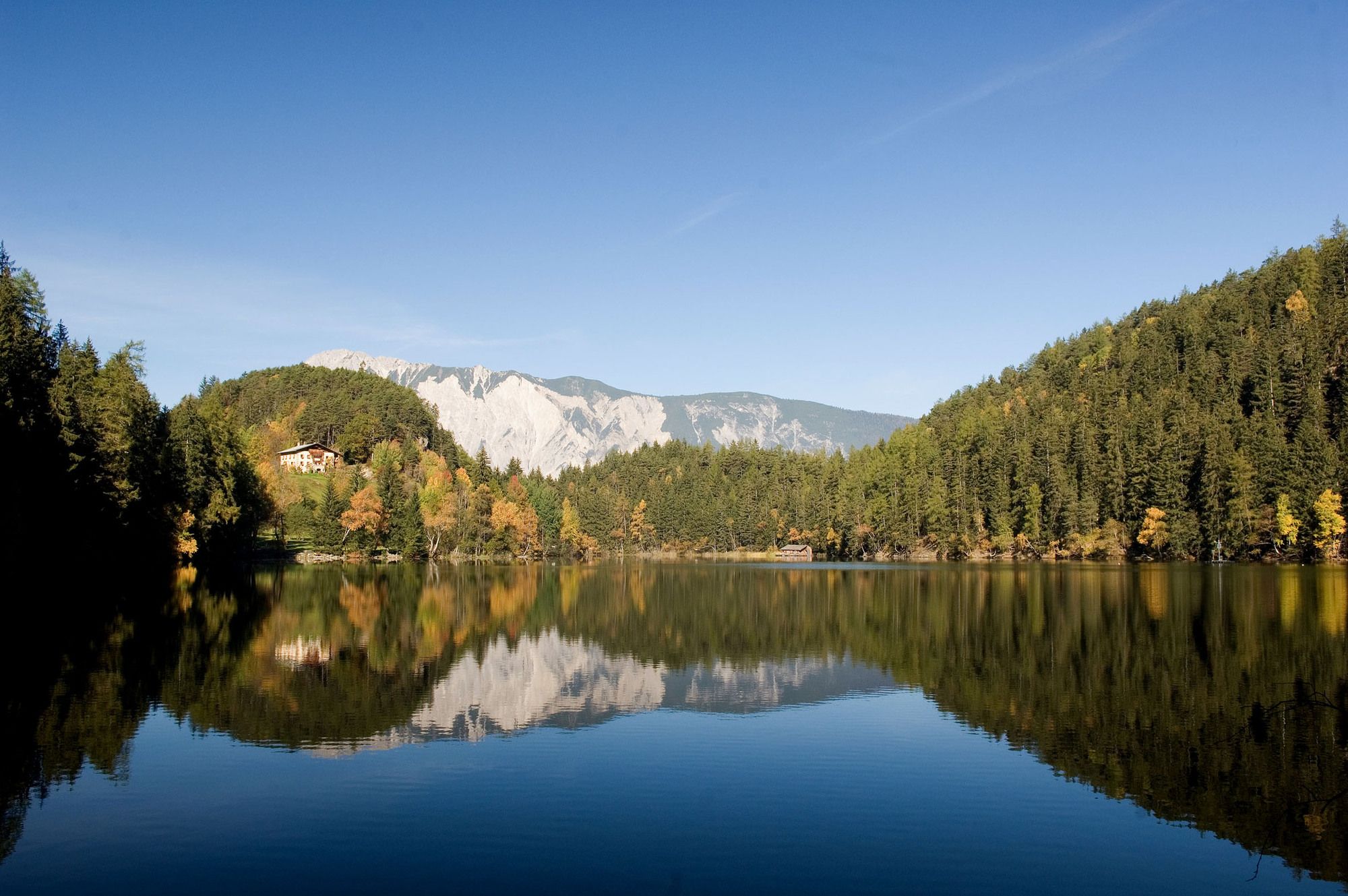
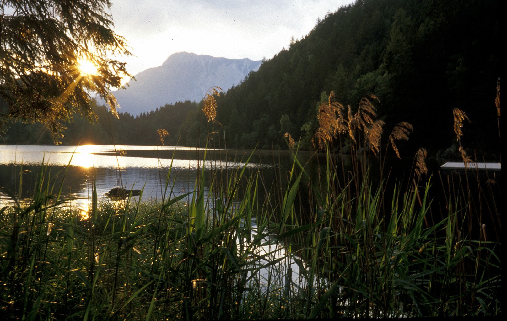
around the lake
- Dificultad
-
fácil
- Valoración
-
- Punto de salida
-
parking place Piburg
- Ruta
-
PiburgSeehäusl1,0 kmSeerestaurant1,1 km
- La mejor temporada
-
enefebmarabrmayjunjulagosepoctnovdic
- Punto álgido
- 962 m
- Punto final
-
parking place Piburg
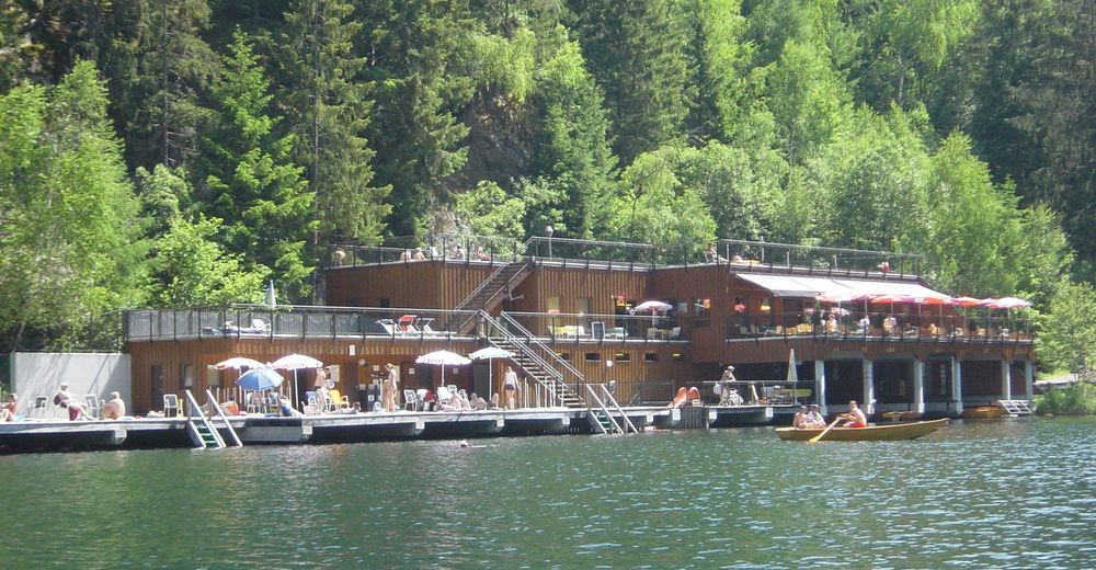
- Descanso/Avituallamiento
-
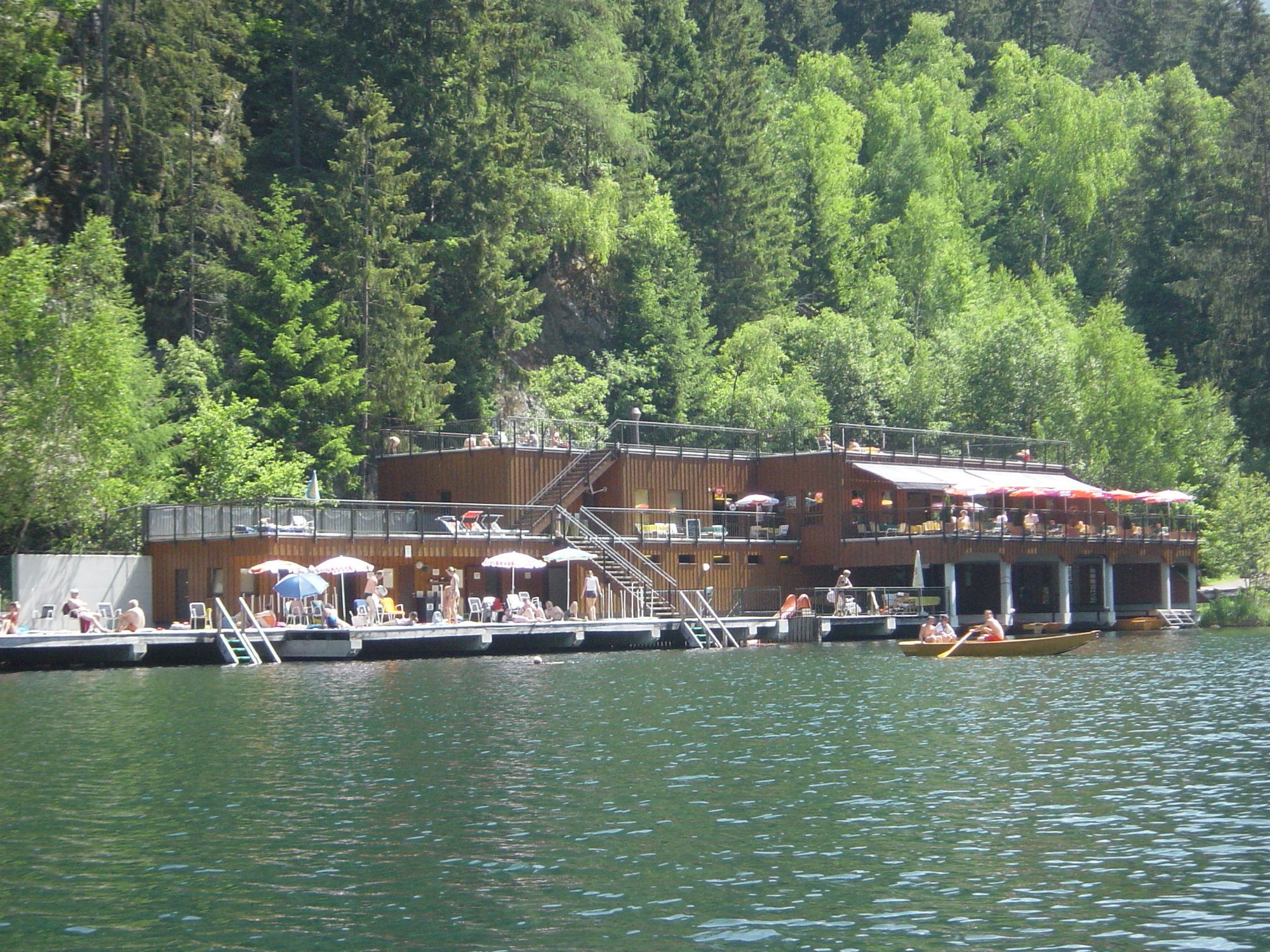
at the lake: Gasthaus Seehäusl or Badeanlage
in Piburg: Gasthof Piburger See or Hotel Seerose - Material cartográfico
-
Tourist Information Oetz
GPS Downloads


Superficie de carretera
Asfalto
Gravilla
Pradera
Bosque
Roca
Expuesto