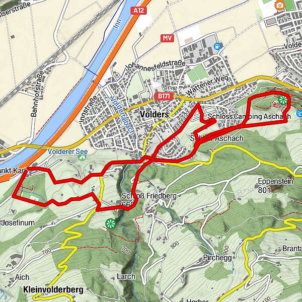
Historischer Rundwanderweg, Volders - Wattens / Tirol

Senderismo
Datos del tour
6,9km
560
- 651m
366hm
01:43h
- Valoración
-
- Ruta
-
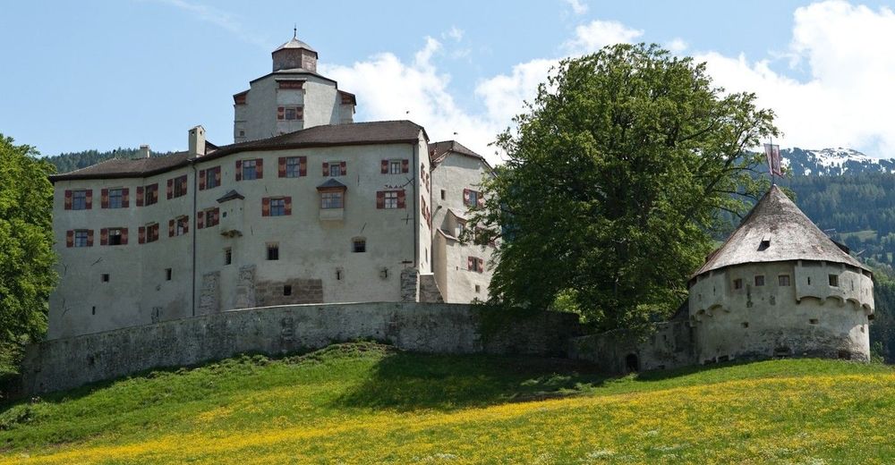
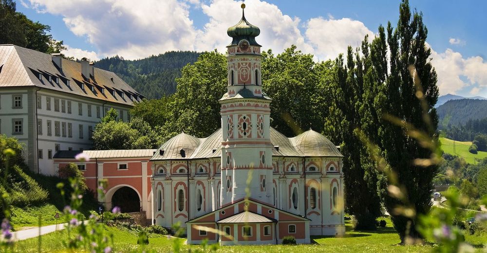
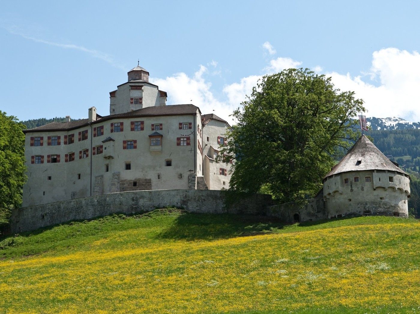
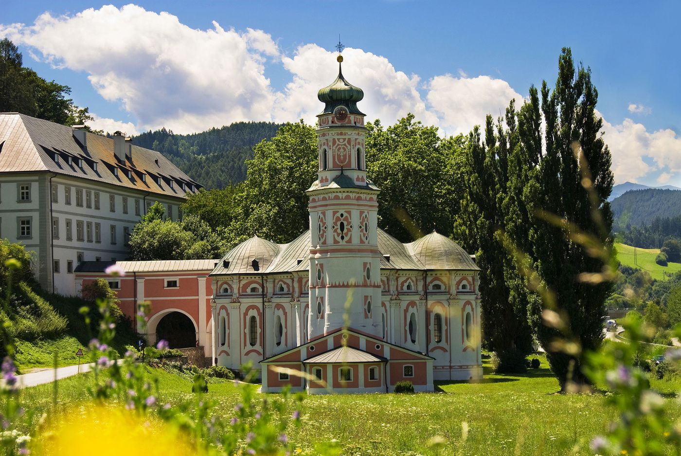
Unterberg1,4 kmWattens (564 m)3,0 kmBuggl3,7 kmPizzeria Del Sole5,0 kmVolders (558 m)5,4 kmKarlskirche6,7 km
- Punto álgido
- 651 m
GPS Downloads


Más circuitos por las regiones
-
Ferienregion Hall - Wattens
1479
-
Volders
321


