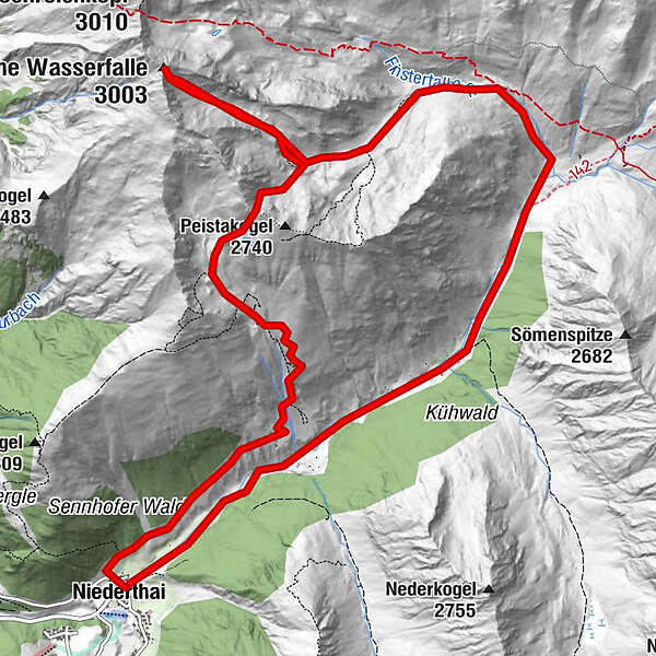
Ins stille Hochtal: Hohe Wasserfalle - Gruesee

Senderismo
Datos del tour
15,8km
1.543
- 2.955m
1.639hm
1.638hm
09:00h
- Breve descripción
-
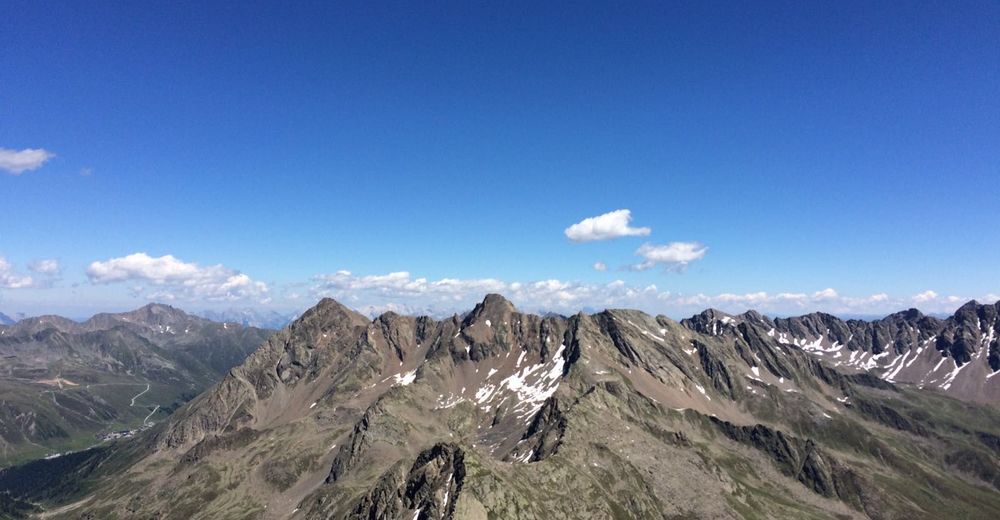
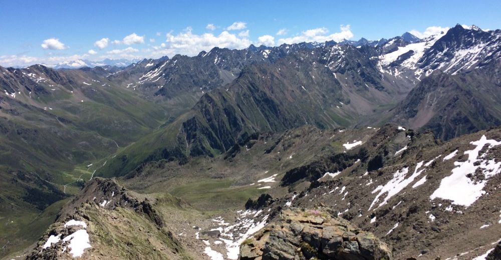
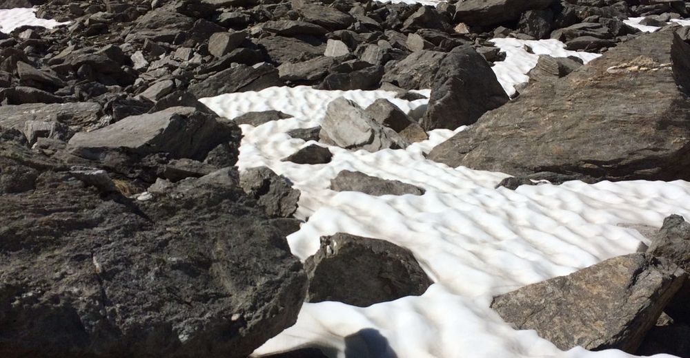
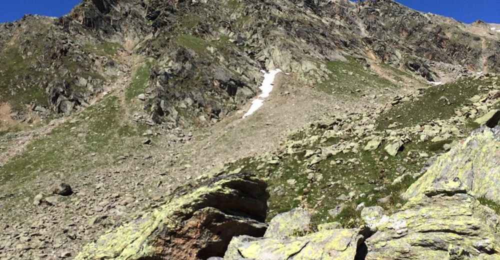
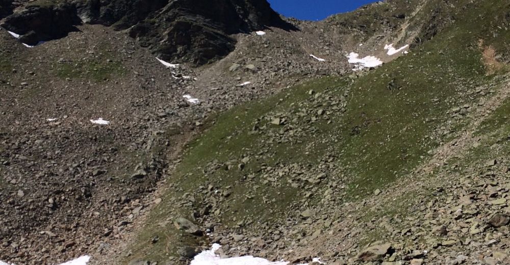
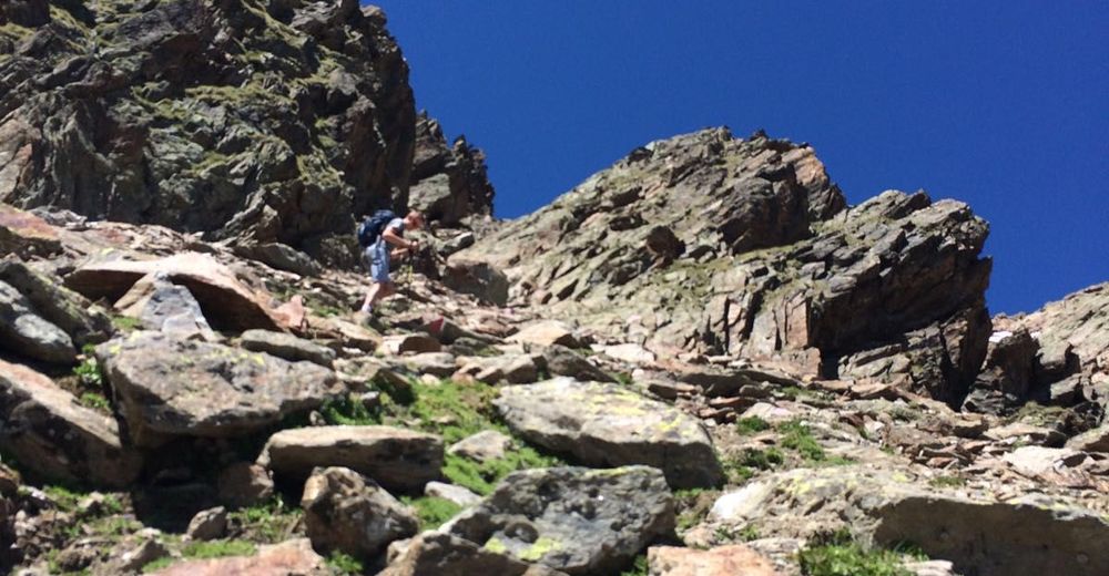
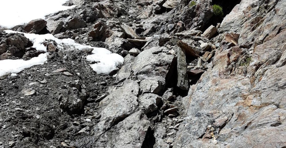
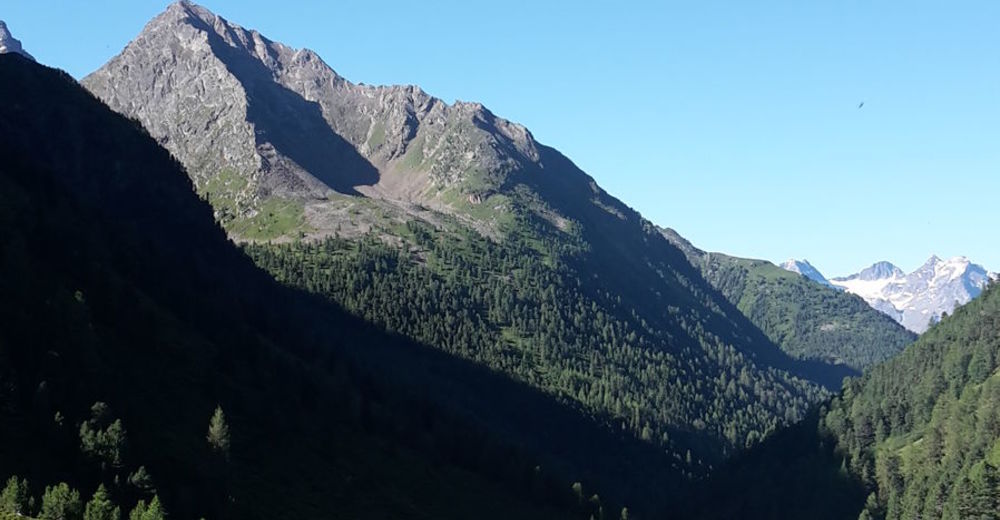
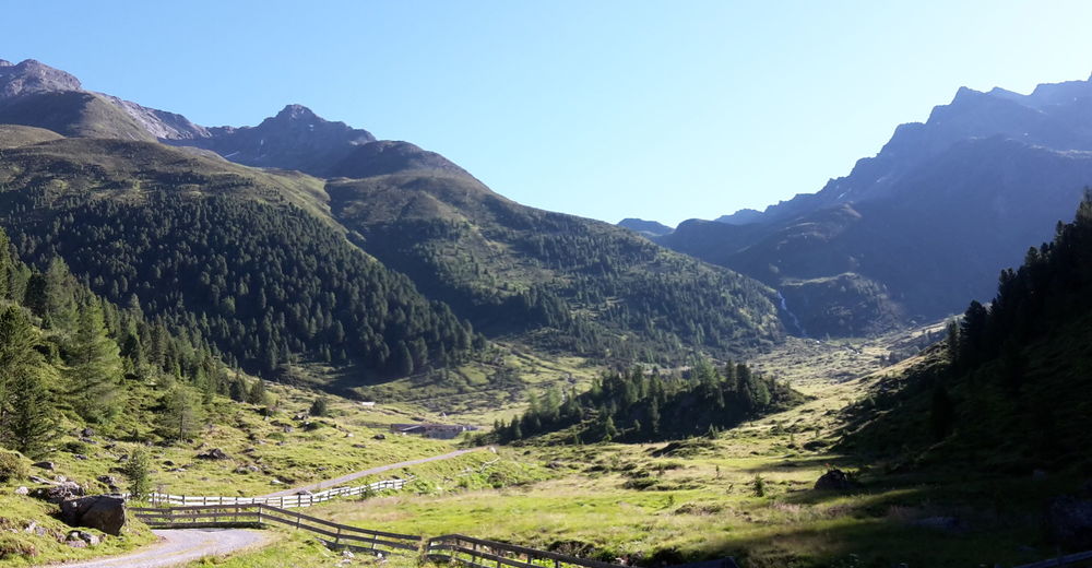
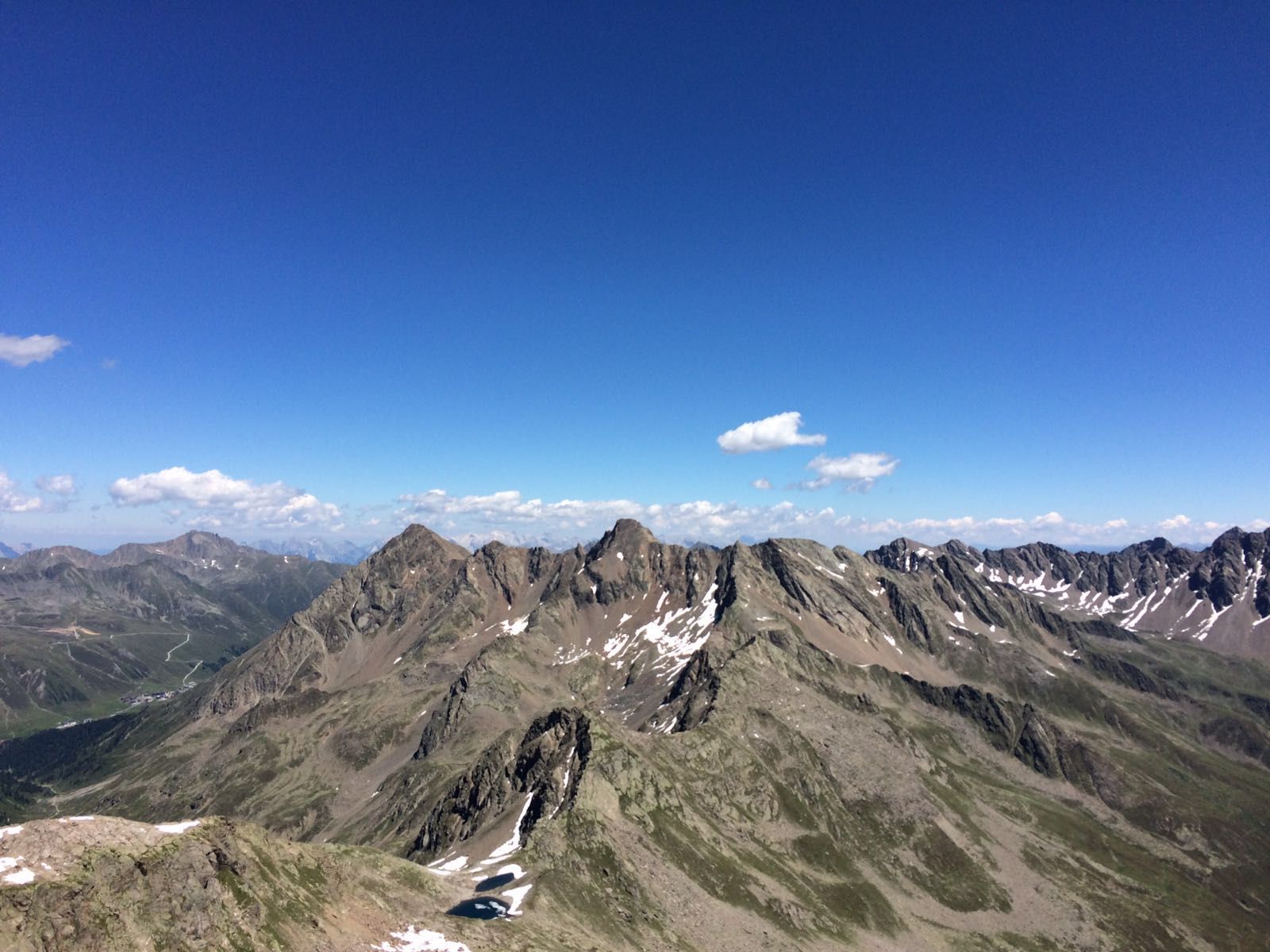
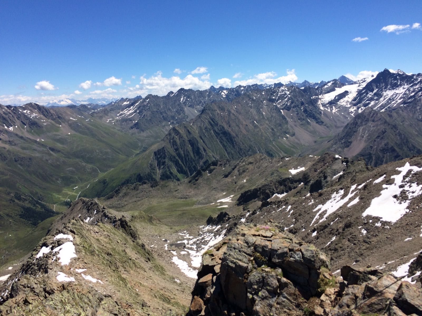
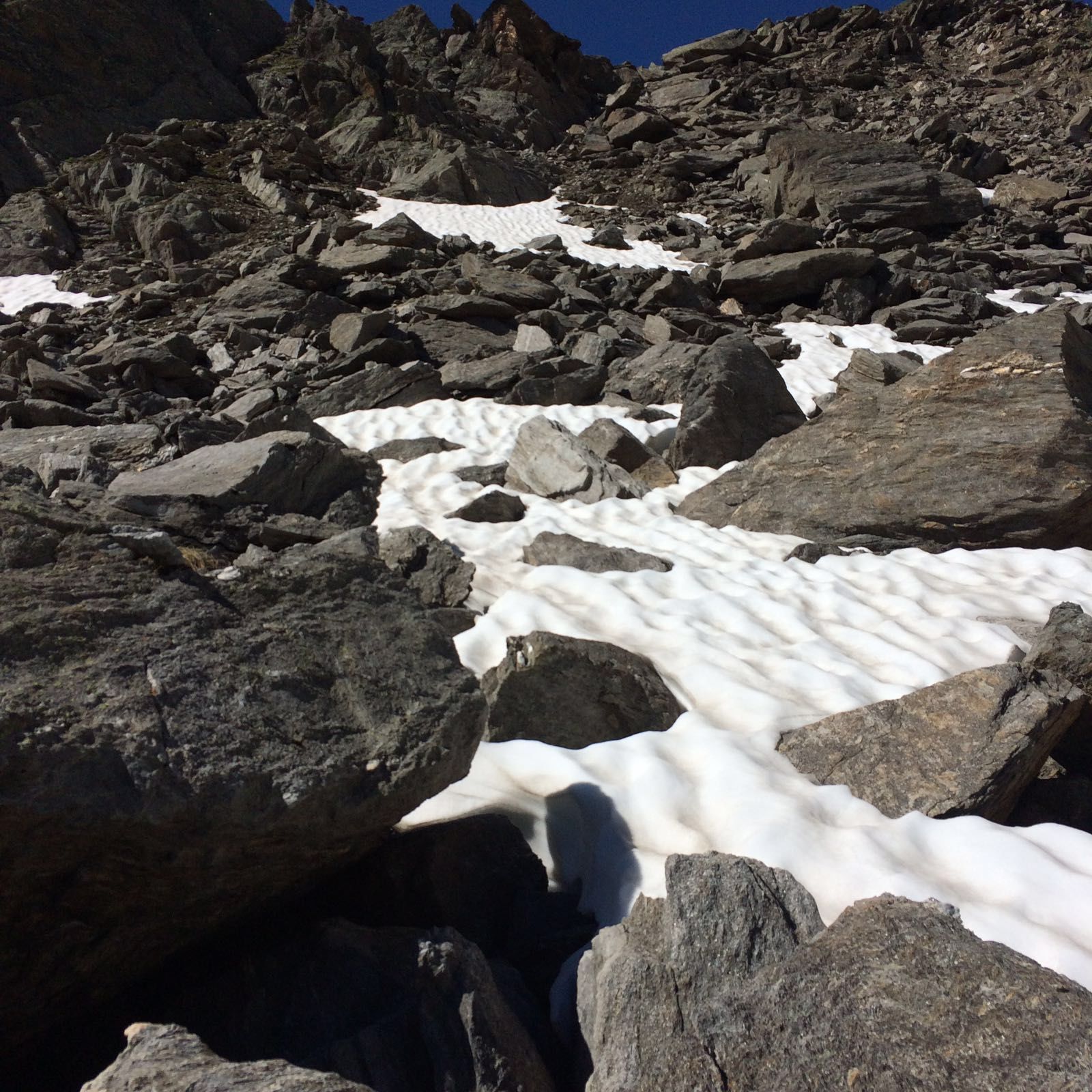
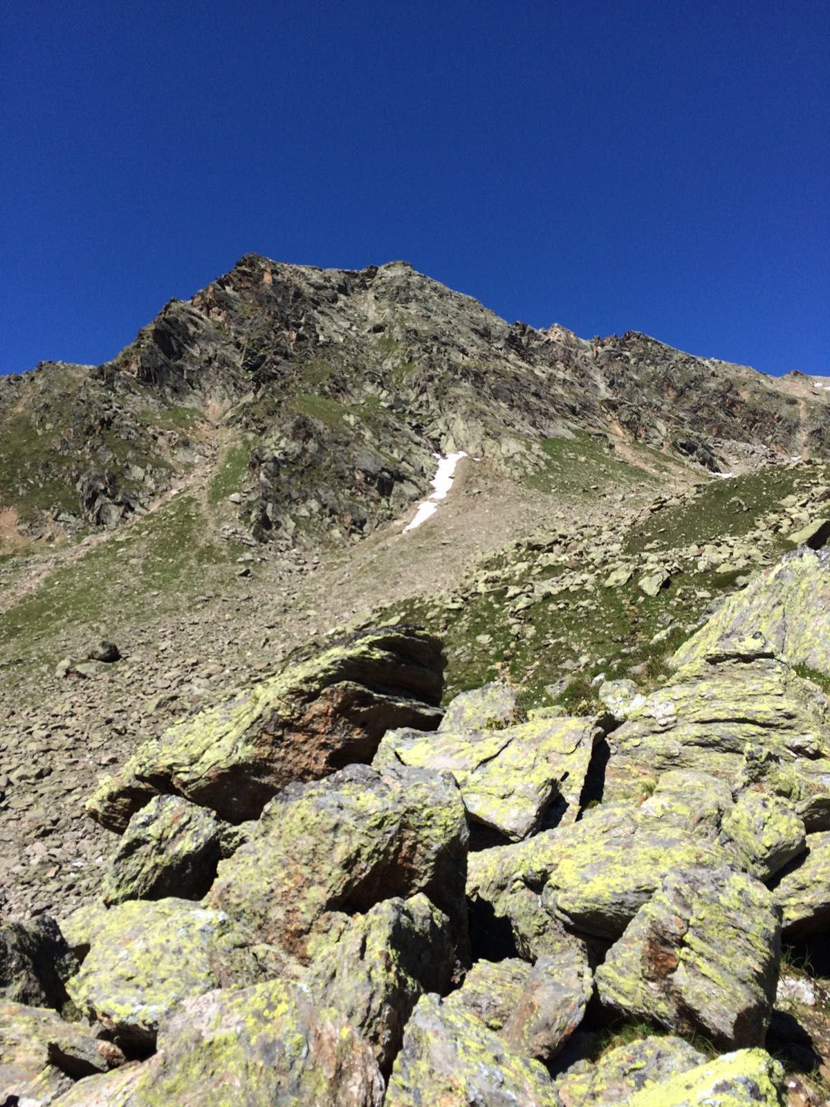
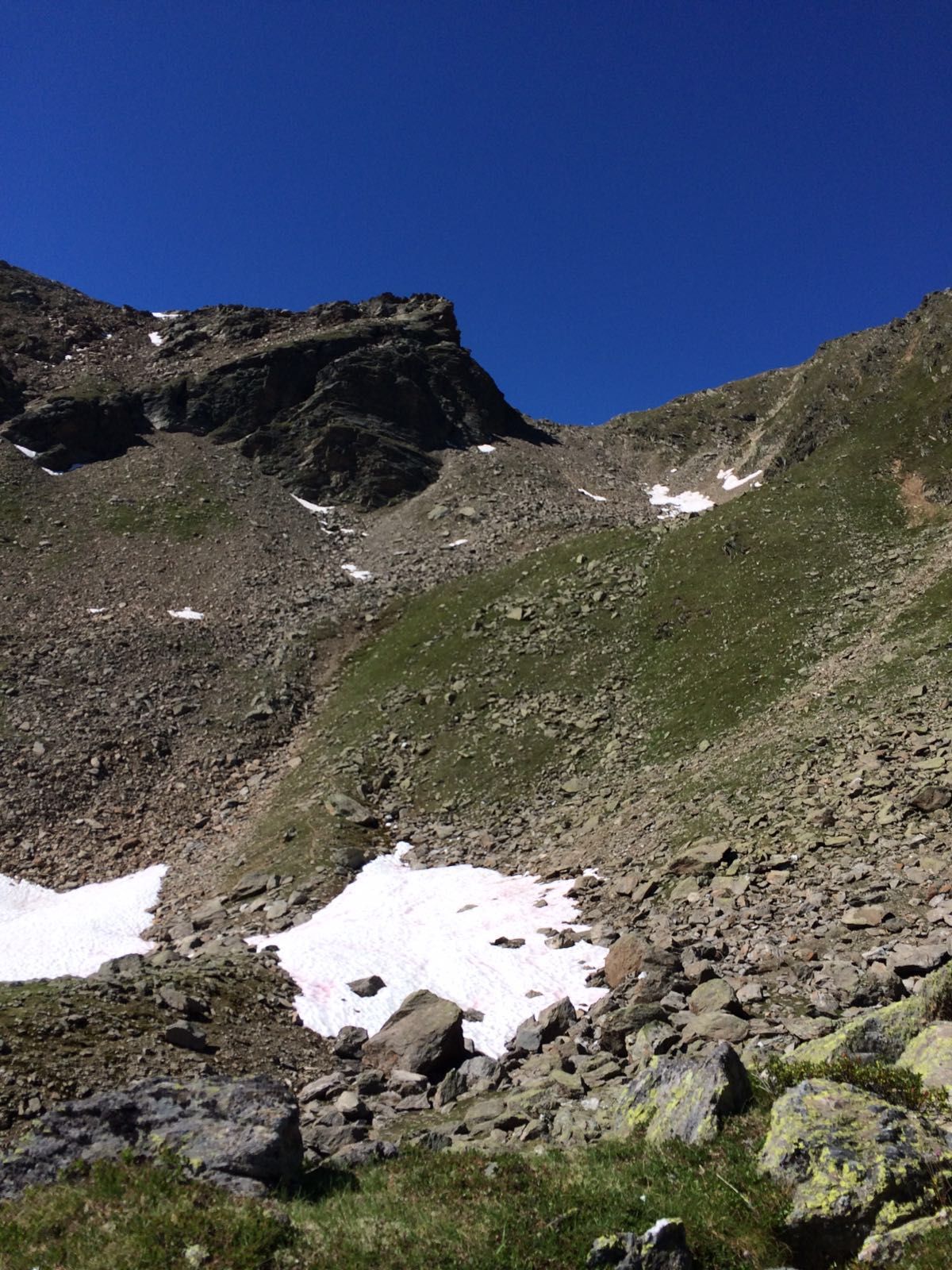
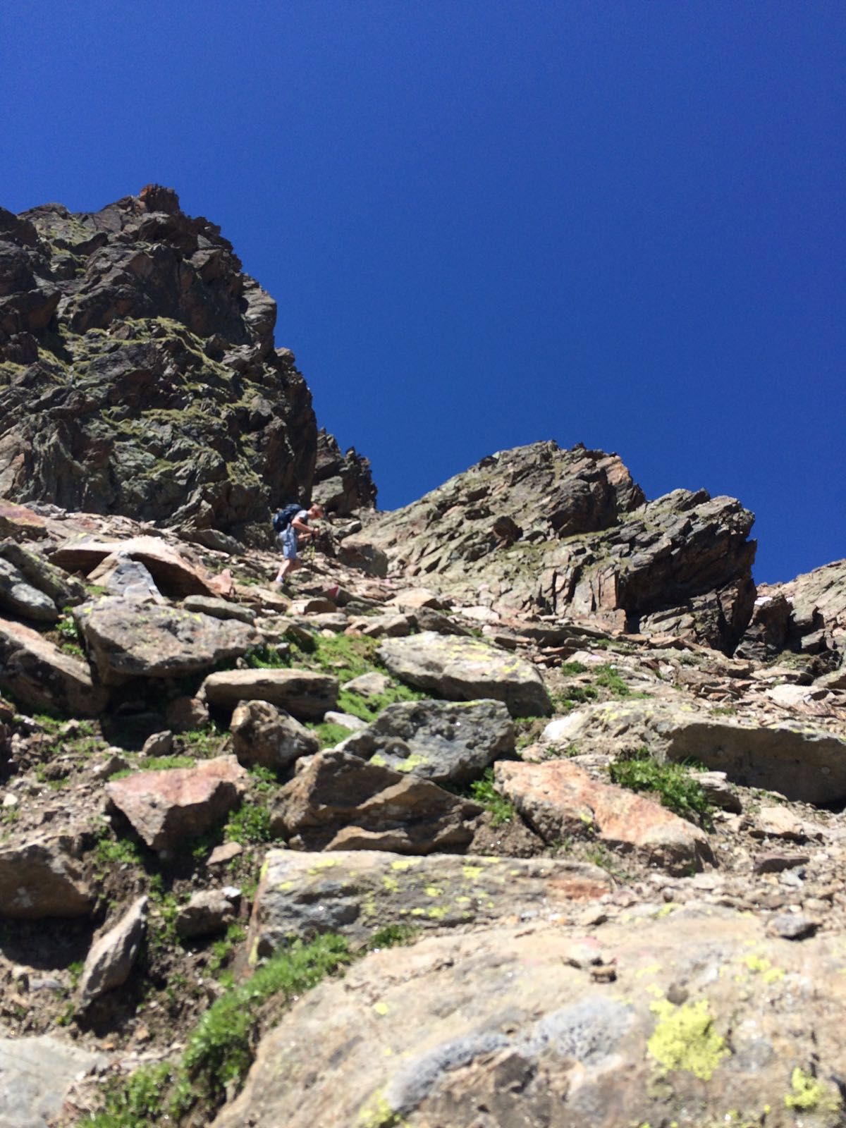
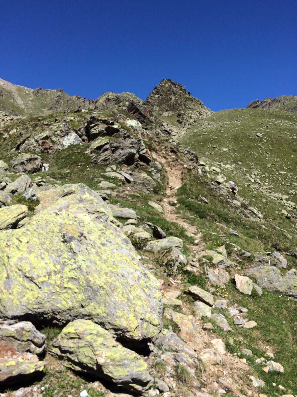
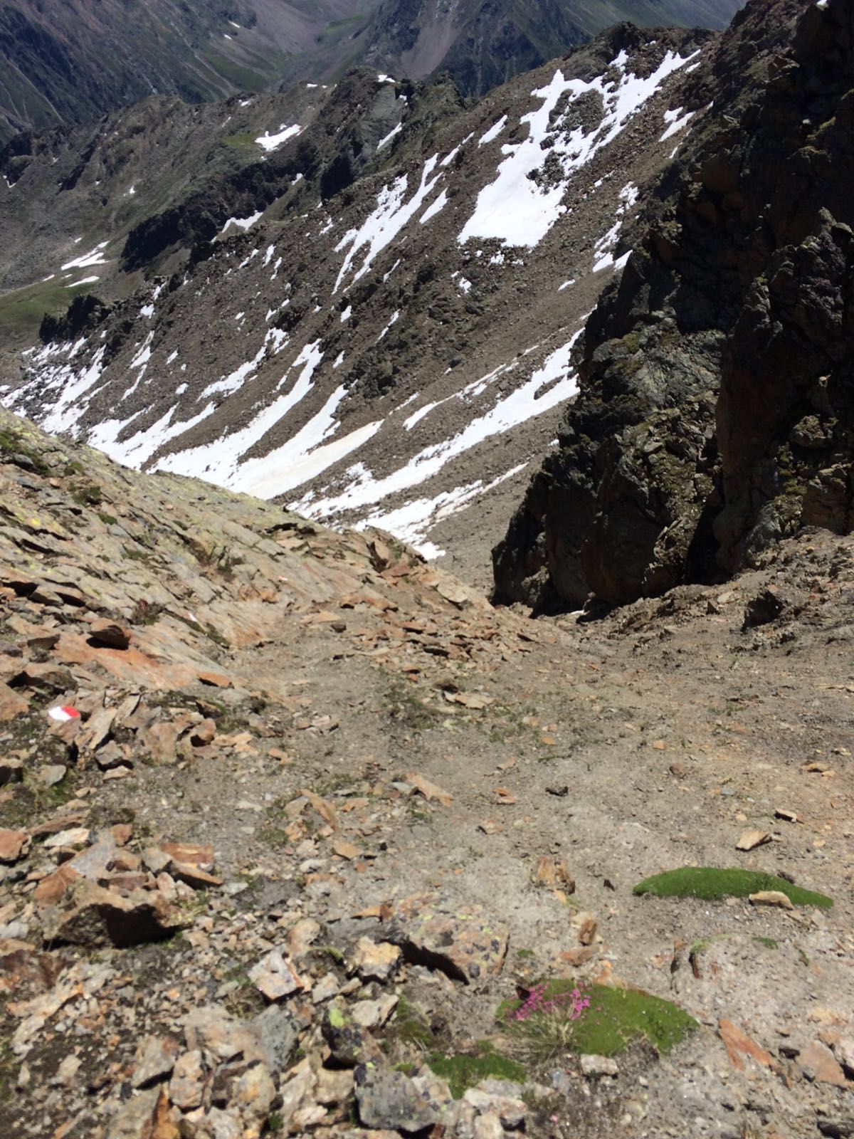
Bergtour von Niederthai zur Hohen Wasserfalle auf 3003m. Schwierige und sehr anspruchsvolle Bergwandertour durch eine einsame und spannende Bergwelt.
- Dificultad
-
difícil
- Valoración
-
- Punto de salida
-
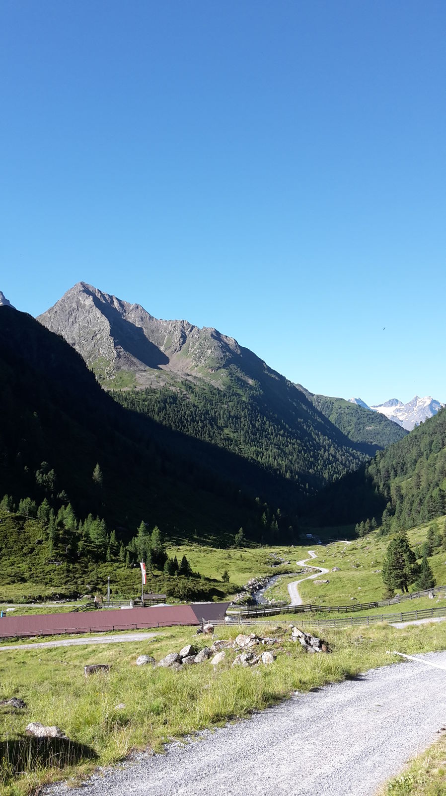
Niederthai, Ötztal, Tirol, Österreich
- Ruta
-
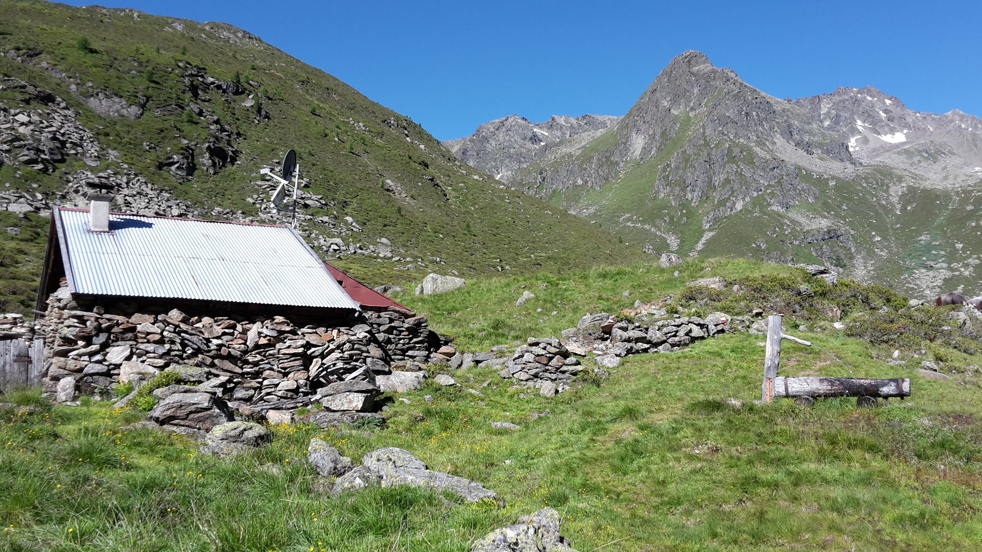
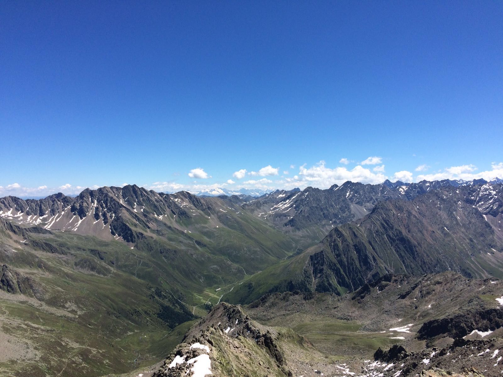
NiederthaiSennhof0,1 kmGruejoch (2.710 m)4,5 kmHohe Wasserfalle (3.003 m)6,5 kmKleinhorlachalm10,5 kmJausenstation Larstighof12,4 kmSchutzengelkapelle14,6 kmSennhof15,3 kmNiederthai15,3 km
- La mejor temporada
-
enefebmarabrmayjunjulagosepoctnovdic
- Punto álgido
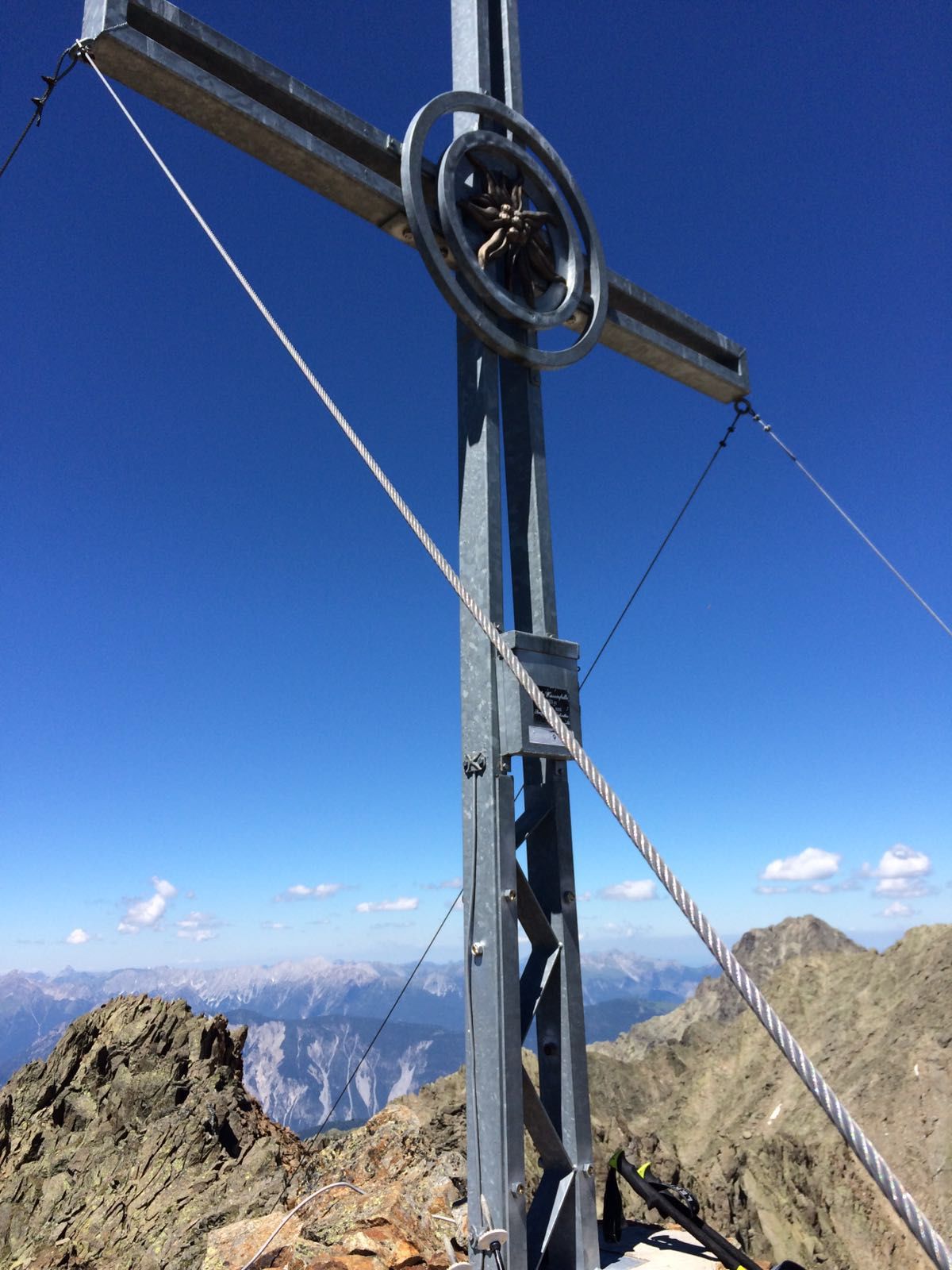
- Hohe Wasserfalle (2.955 m)
- Punto final
-
Hohe Wasserfalle 3003m
- Descanso/Avituallamiento
-
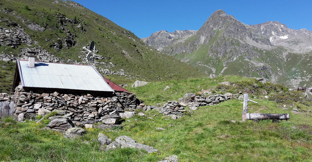
Beim Abstieg über die Schweinfurter Hütte: Die "Kleinhorlachalm" oder die "Larstigalm" bieten eine gemütlich Einkehr bei traditionell tiroler Küche.
- Material cartográfico
-
Kartenmaterial Ötztal/Stubaier Alpen


- Fuente
- Cornelius Becker
GPS Downloads


Superficie de carretera
Asfalto
Gravilla
(20%)
Pradera
Bosque
Roca
(25%)
Expuesto
(15%)
Más circuitos por las regiones
-
Ötztal
1111
-
Niederthai
385


