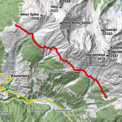
Kobler Bergwiesen- Hahntennen-Kreuzjoch RW

Senderismo


- Breve descripción
-
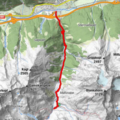
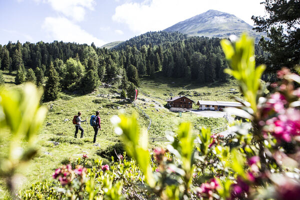
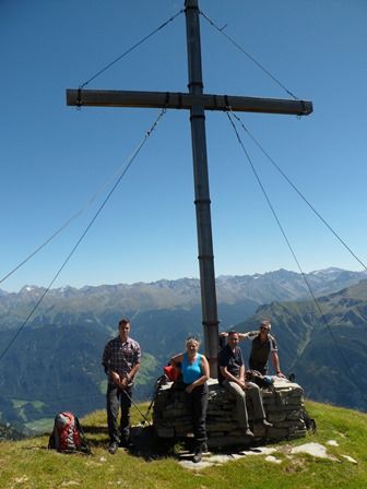
Ausgangspunkt: Hinterkobl 1.480m Ziel: Kreuzjoch: 2.698m Einkehr:: Kobler-Alm 1.921m Ende: Hinterkobl 1.480m
- Ruta
-
Hahntennenberg (2.255 m)4,7 kmKreuzjoch (2.698 m)7,6 km
- Punto álgido
- 2.660 m
- Punto final
-
Kreuzjoch
- Perfil alto
-

- Autor
-
La gira Kobler Bergwiesen- Hahntennen-Kreuzjoch RW es utilizado por outdooractive.com proporcionado.
GPS Downloads


Información general
Secreto