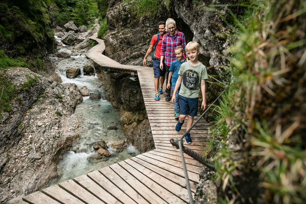
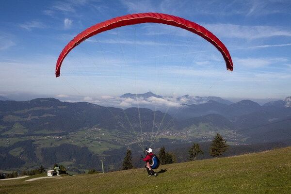
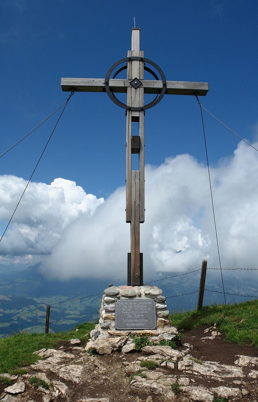
St. Johann in Tirol: Kitzbüheler Horn über Horn-Gipfel-Höhenweg

Senderismo

© TVB Kitzbüheler Alpen St. Johann in Tirol
© TVB Kitzbüheler Alpen St. Johann in Tirol
Datos del tour
5,95km
1.534
- 1.966m
454hm
460hm
03:30h

- Breve descripción
-
This Hike is full of Breathtaking Mountain Views, including the Hohe Tauern, the
Leoganger and Loferer Steinberge, the Famous Wilder Kaiser and Countless Others. - Dificultad
-
medio
- Valoración
-
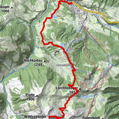
- Punto de salida
-
Bergstation Harschbichlbahn
- Ruta
-
Berggasthof Harschbichl0,0 kmRaintal2,4 kmBrunellenfeld2,5 kmKitzbüheler Horn Gipfelhaus2,5 kmKitzbüheler Horn (1.996 m)2,6 kmBerggasthof Harschbichl5,8 kmHarschbichl (1.604 m)5,9 km
- La mejor temporada
-
enefebmarabrmayjunjulagosepoctnovdic
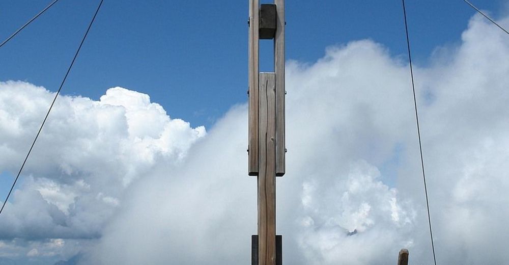
- Punto álgido
- 1.966 m
- Descanso/Avituallamiento
-
Harschbichlalm, Gipfelhaus
- Material cartográfico
-
In allen Infobüros: St. Johann in Tirol, Oberndorf, Kirchdorf und Erpfendorf

- Teléfono de información
-
Tourismusverband Kitzbüheler Alpen St. Johann in Tirol +43 (0)5352 63335-0
- Link
- https://www.kitzbueheler-alpen.com/de/st-johann
- Fuente
- Tourismusverband Kitzbüheler Alpen St. Johann in Tirol
GPS Downloads


Superficie de carretera
Asfalto
Gravilla
Pradera
Bosque
Roca
Expuesto
Más circuitos por las regiones
-
Kitzbühel
1768
-
Bergbahnen St. Johann in Tirol
500