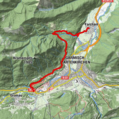
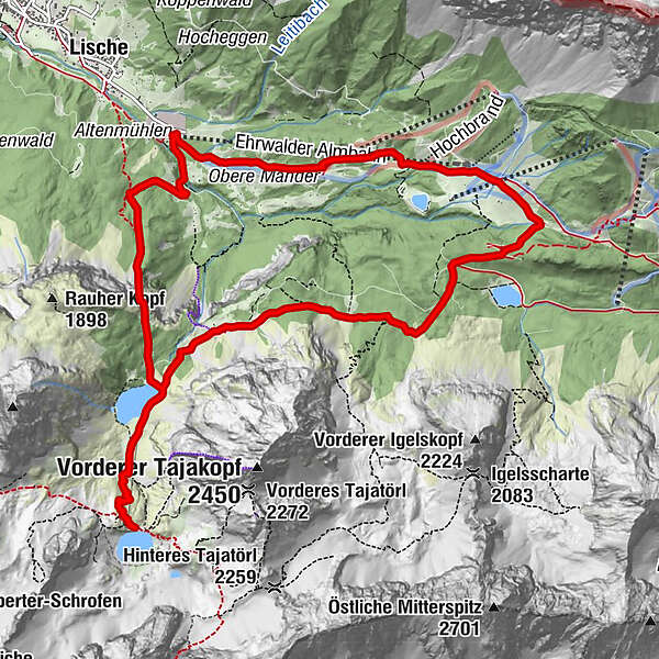
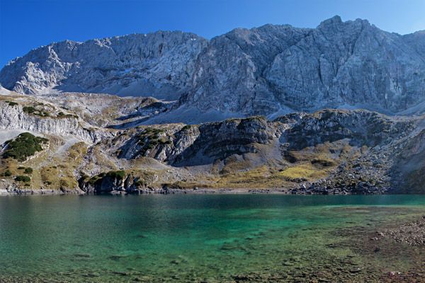
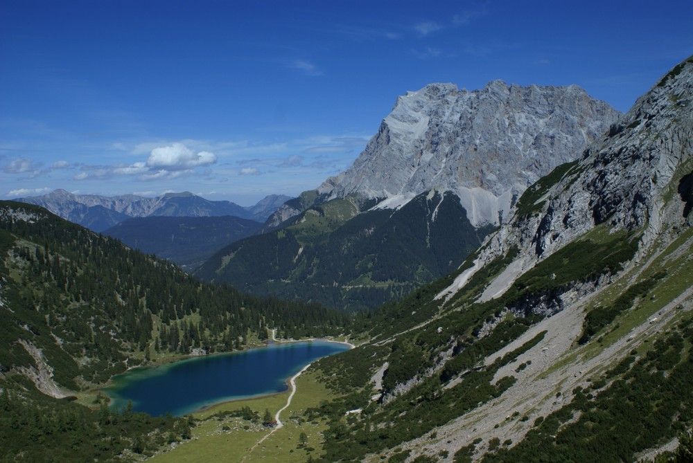
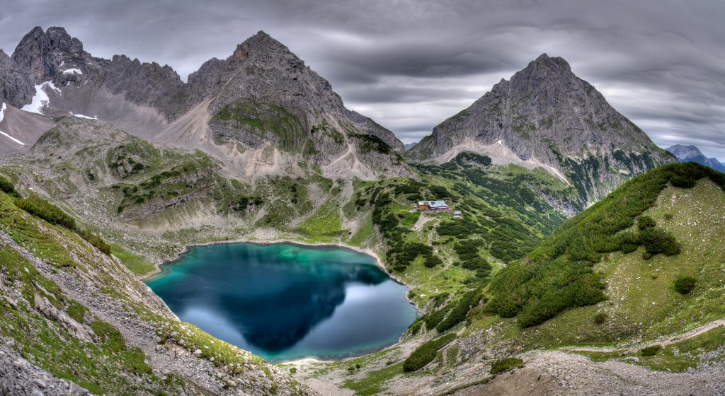
Immensteig-Seebensee-Coburter Hütte-Hoher Gang

Senderismo

© Google - Hotel Sonnenspitze

© Google - Hotel Sonnenspitze

© Google - Hotel Sonnenspitze

© Google - Hotel Sonnenspitze

- Breve descripción
-
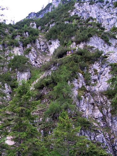
Schöne Rundwanderung für schwindelfreie- und trittsichere Wanderer!
- Dificultad
-
difícil
- Valoración
-
- Ruta
-
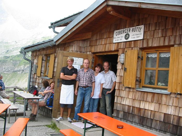
Coburger Bank1,8 kmCoburger Hütte4,2 kmSeebenfall6,3 kmSeeben Alm6,4 kmBerggasthof Alpenglühn (1.550 m)10,1 kmGästehaus Alpenglühn (1.550 m)10,1 kmEhrwalder Alm10,6 kmGanghofer Hütte (1.289 m)11,8 kmBrentAlm13,1 km
- La mejor temporada
-
enefebmarabrmayjunjulagosepoctnovdic
- Punto álgido
- 1.902 m
- Punto final
-
Talstation Ehrwalder Almbahn
- Perfil alto
-

- Autor
-
La gira Immensteig-Seebensee-Coburter Hütte-Hoher Gang es utilizado por outdooractive.com proporcionado.
GPS Downloads


Información general
Punto de avituallamiento
Secreto
Más circuitos por las regiones
-
Mieminger Plateau & Inntal
1676
-
Ehrwald
407