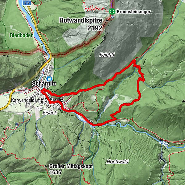
Rundwanderung Birzlkapelle - Karwendelsteg

Senderismo

© Tourismusverband Seefeld - Region Seefeld

© Tourismusverband Seefeld - Region Seefeld

© Tourismusverband Seefeld - Stefan Wolf

- Breve descripción
-
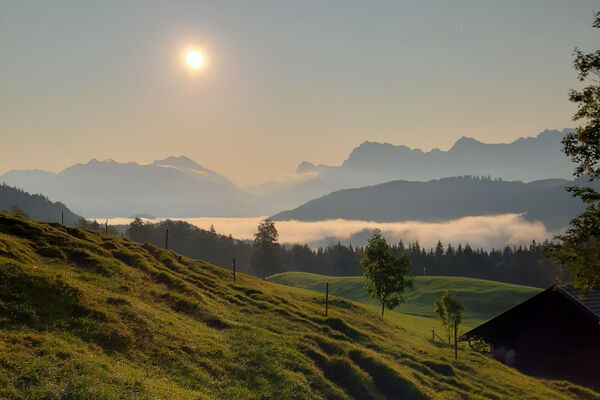
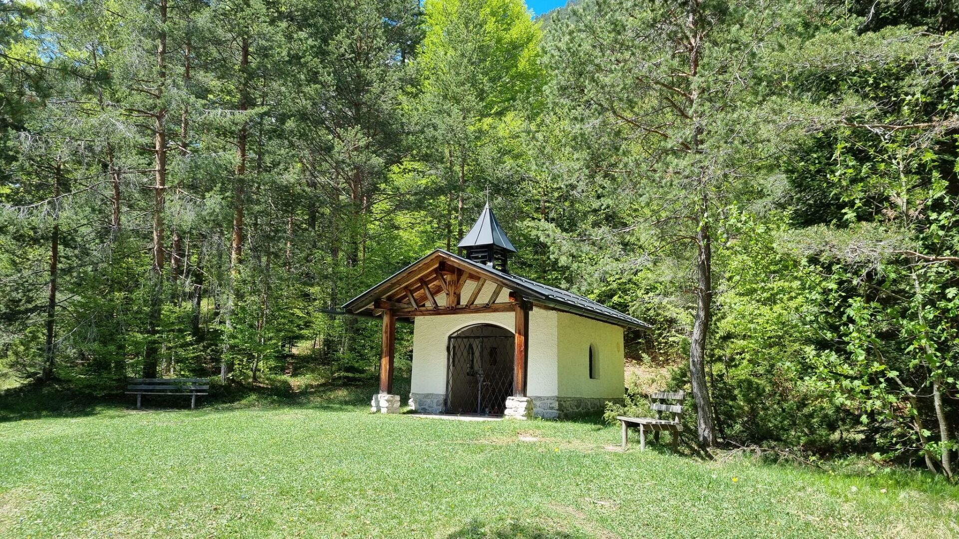
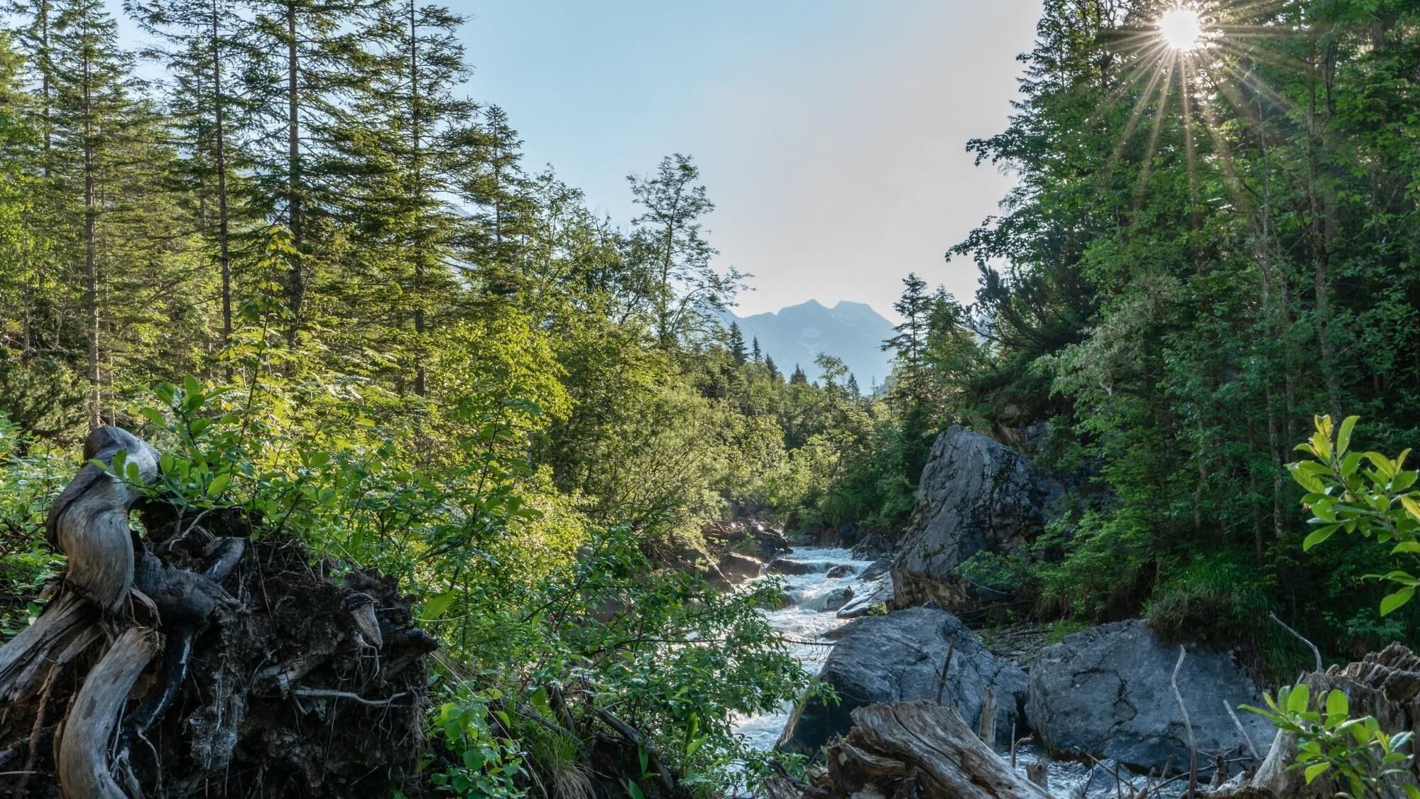
Wanderung mit Blick in die Karwendelschlucht.
- Ruta
-
Natur-Erlebnis-Spielplatz bei der Holzerhütte0,0 kmFlorianikapelle0,2 kmKath. Pfarrkirche Mariahilf0,4 kmBella Vista zum Kirchplatzl0,4 kmScharnitz (964 m)0,5 kmBirzel1,8 kmKarwendelsteg3,9 kmKarwendelklamm-Blick6,8 kmScharnitz (964 m)8,5 kmNatur-Erlebnis-Spielplatz bei der Holzerhütte8,5 km
- Punto álgido
- 1.134 m
- Punto final
-
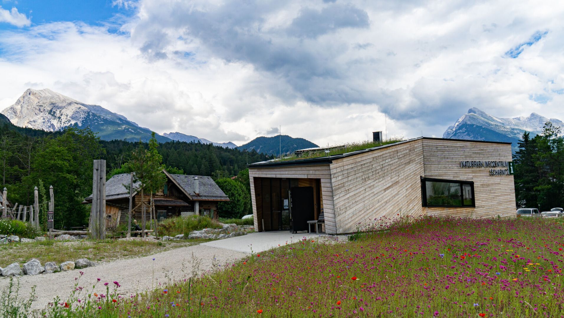
Naturpark-Infozentrum Scharnitz (Parkplatz Länd P2)
- Perfil alto
-

- Autor
-
La gira Rundwanderung Birzlkapelle - Karwendelsteg es utilizado por outdooractive.com proporcionado.
GPS Downloads


Más circuitos por las regiones
-
Alpenwelt Karwendel
1613
-
Scharnitz
532