© Tourismusverband Region Hall-Wattens - Anne W.

© Tourismusverband Region Hall-Wattens - Hall Wattens

© Tourismusverband Region Hall-Wattens - Hall Wattens

© Tourismusverband Region Hall-Wattens - Anne W.

© Tourismusverband Region Hall-Wattens - Anne W.

© Tourismusverband Region Hall-Wattens - Anne W.

© Tourismusverband Region Hall-Wattens - Anne W.

© Tourismusverband Region Hall-Wattens - Anne W.

© Tourismusverband Region Hall-Wattens - Anne W.

© Tourismusverband Region Hall-Wattens - Anne W.
- Breve descripción
-
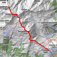
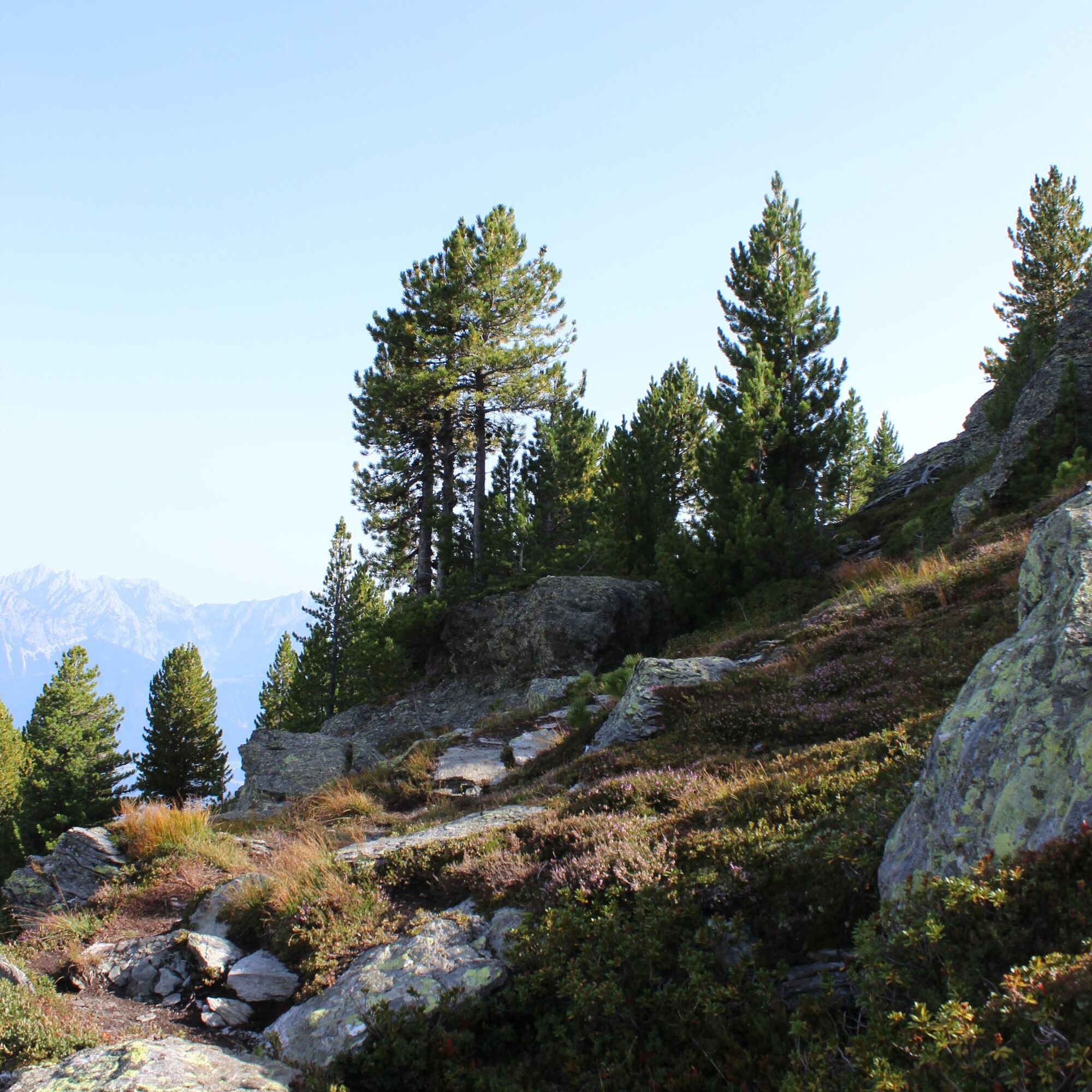
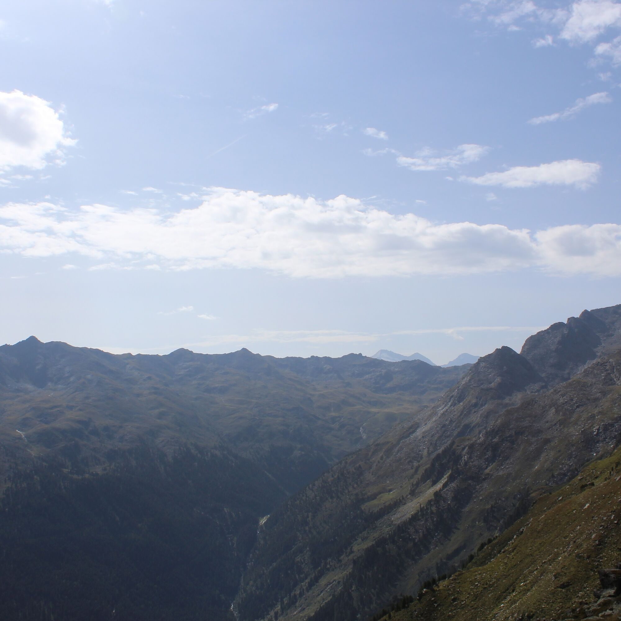
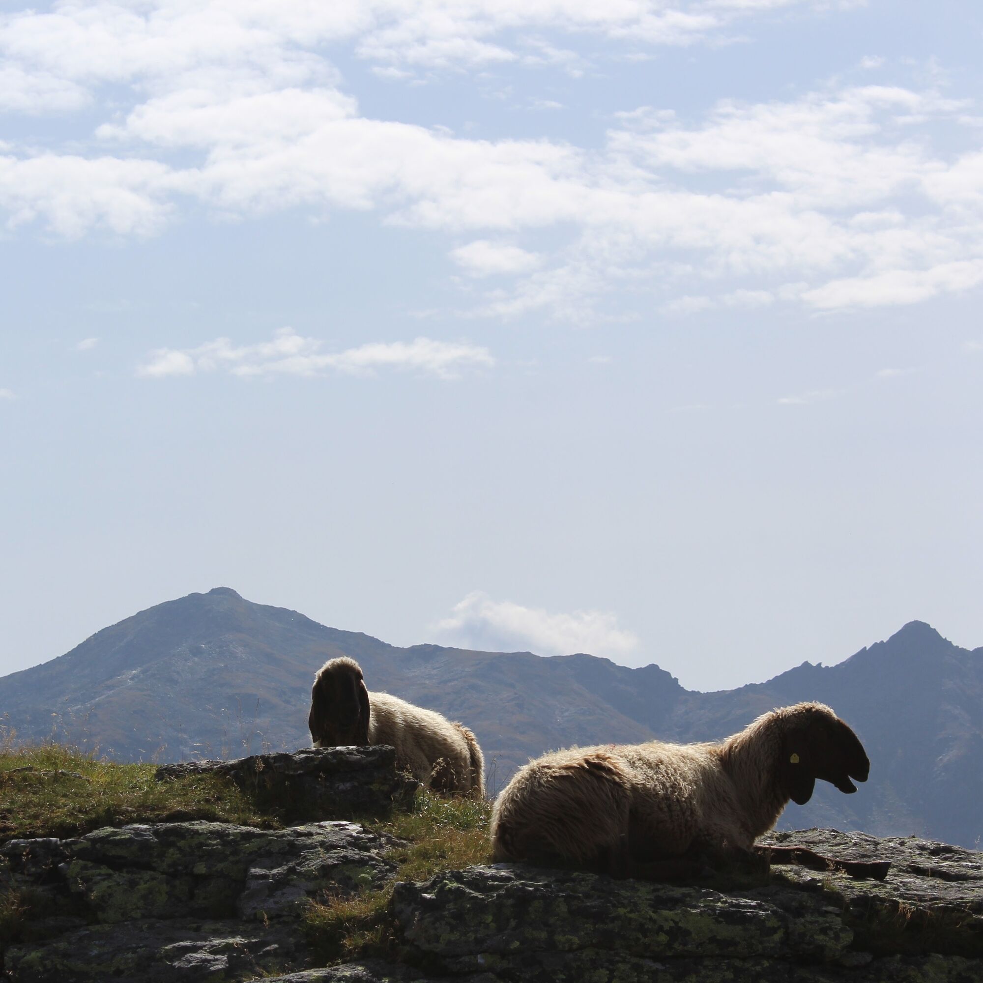
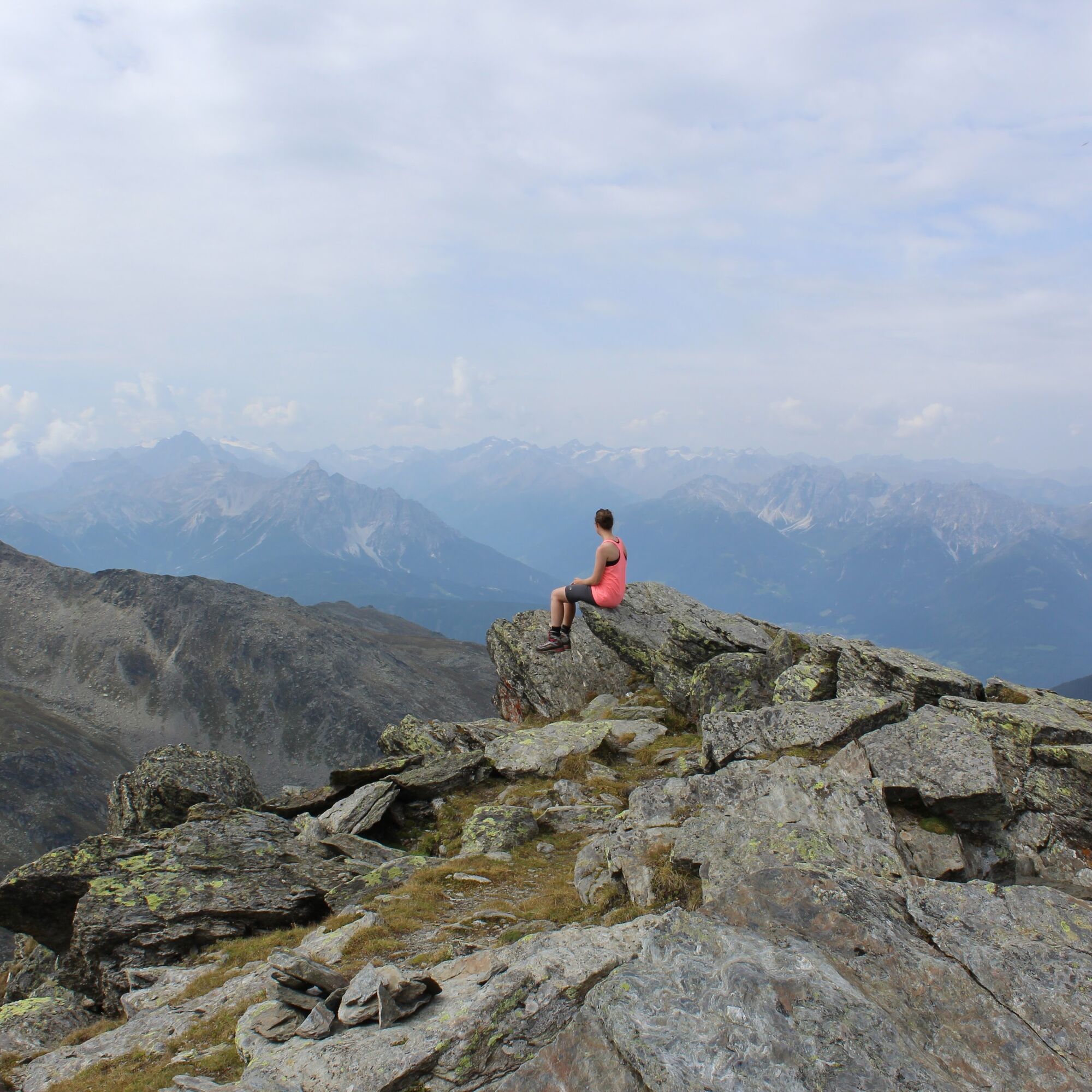
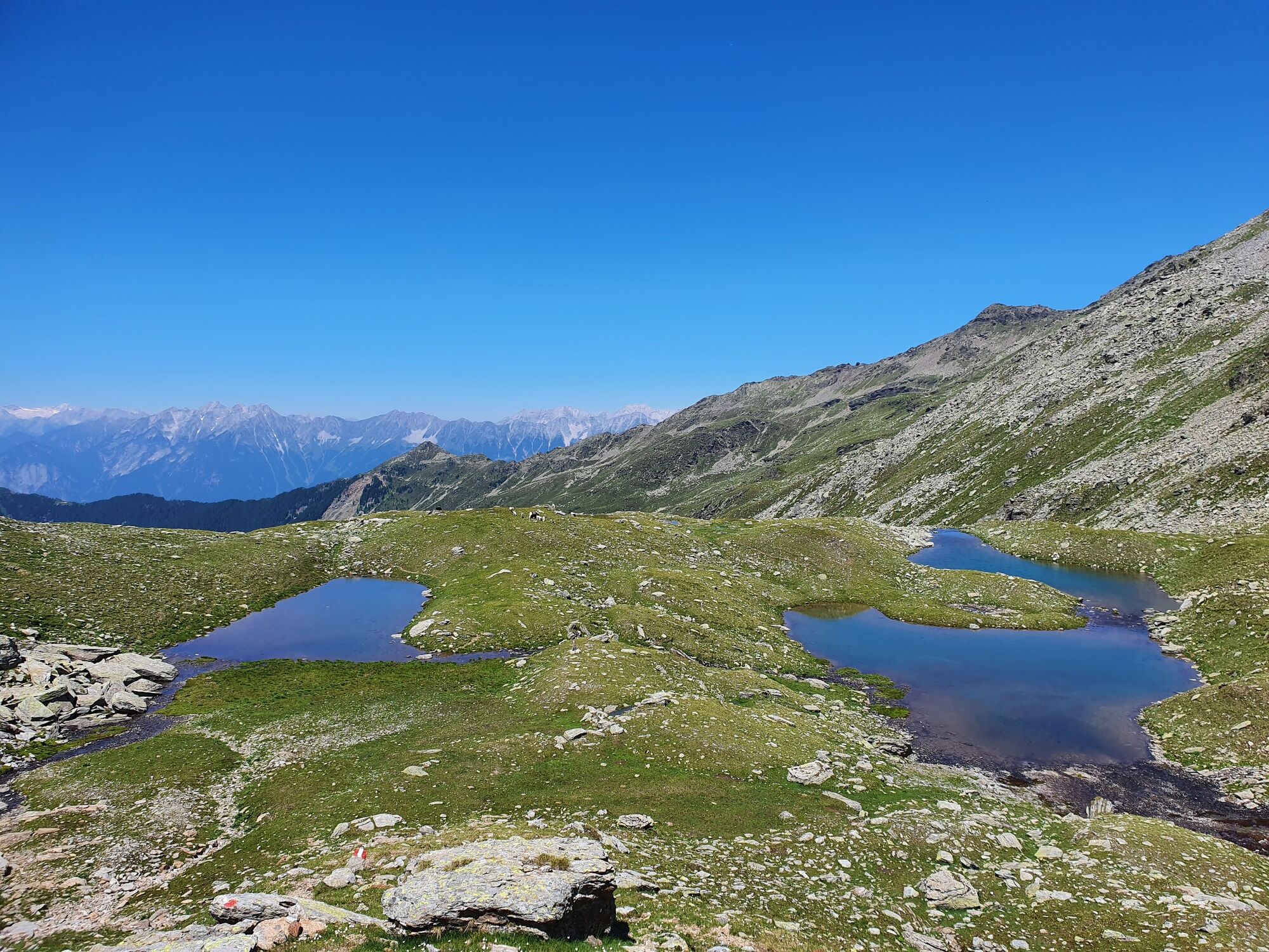
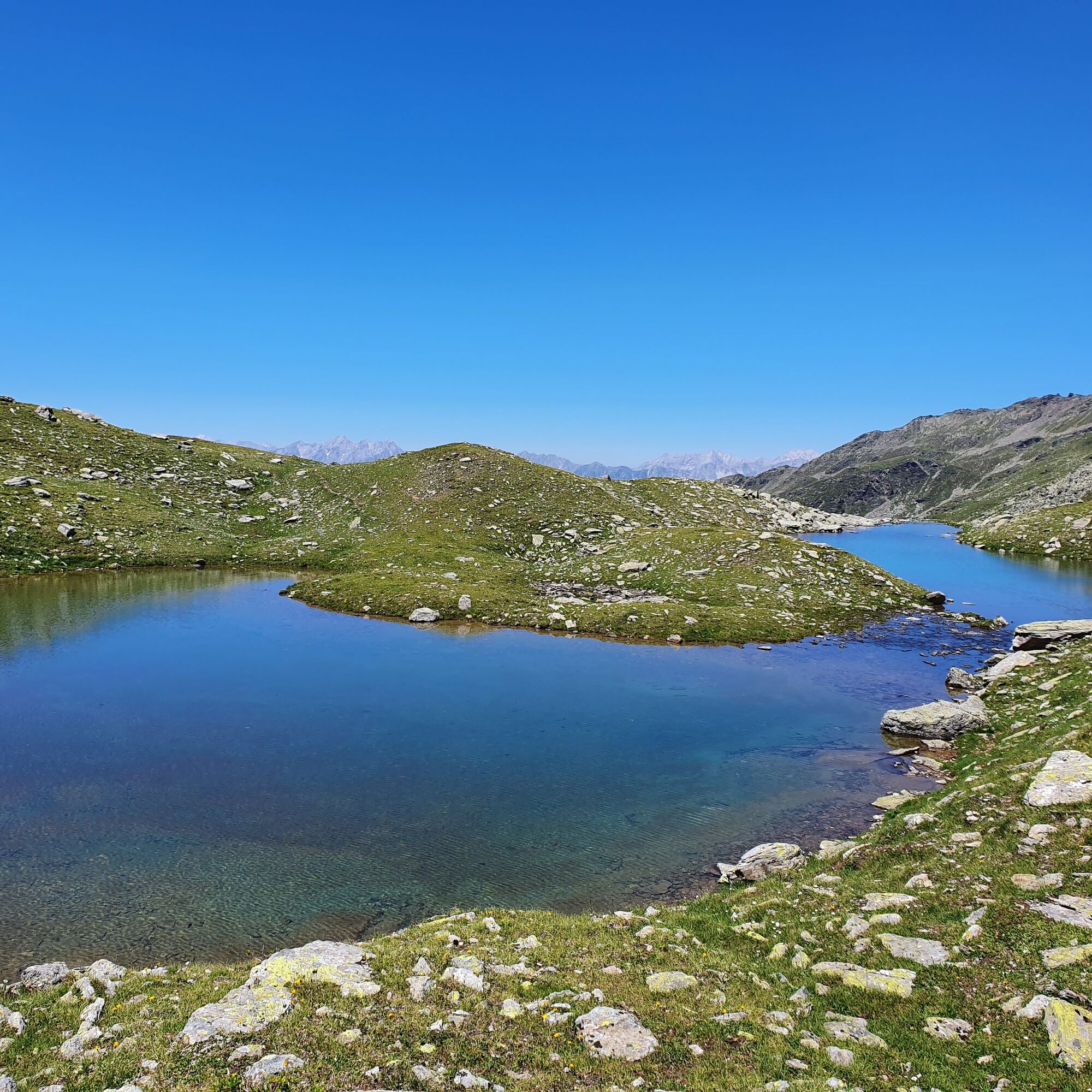
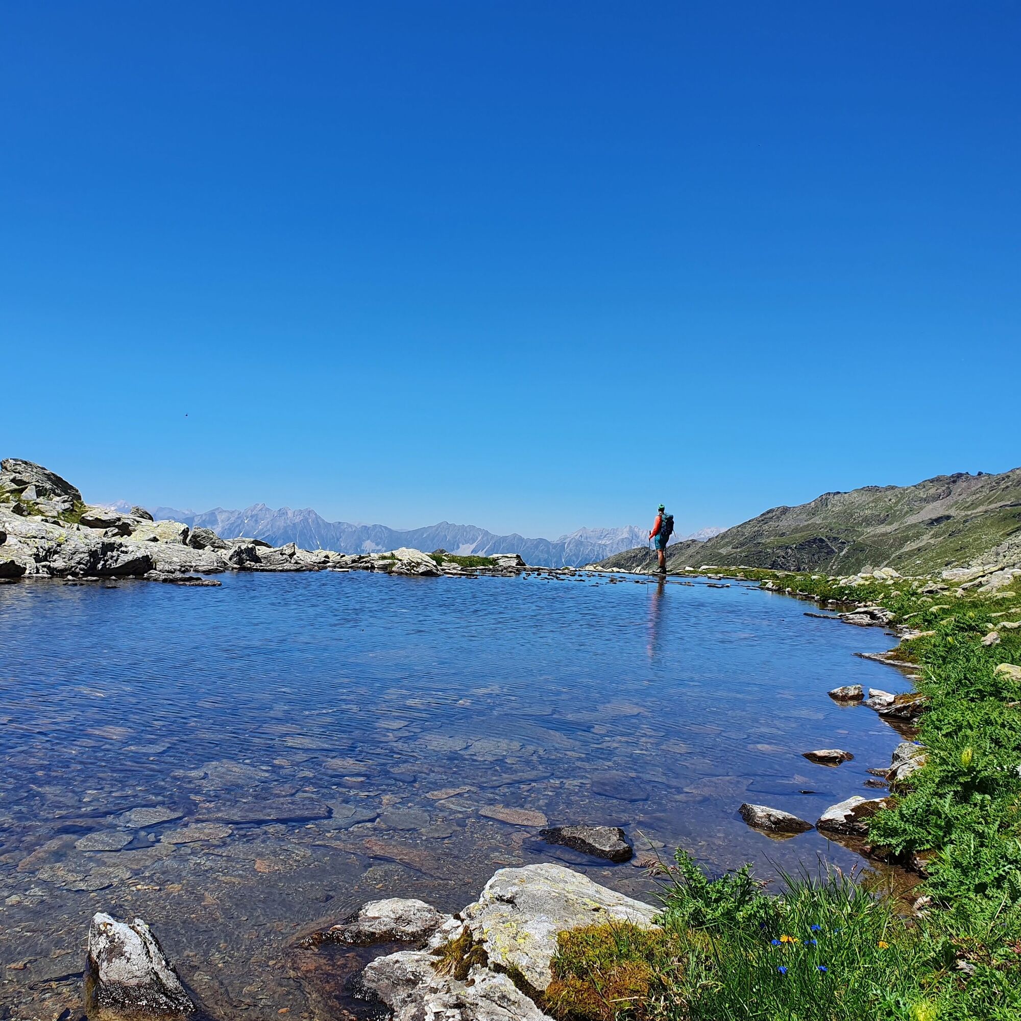
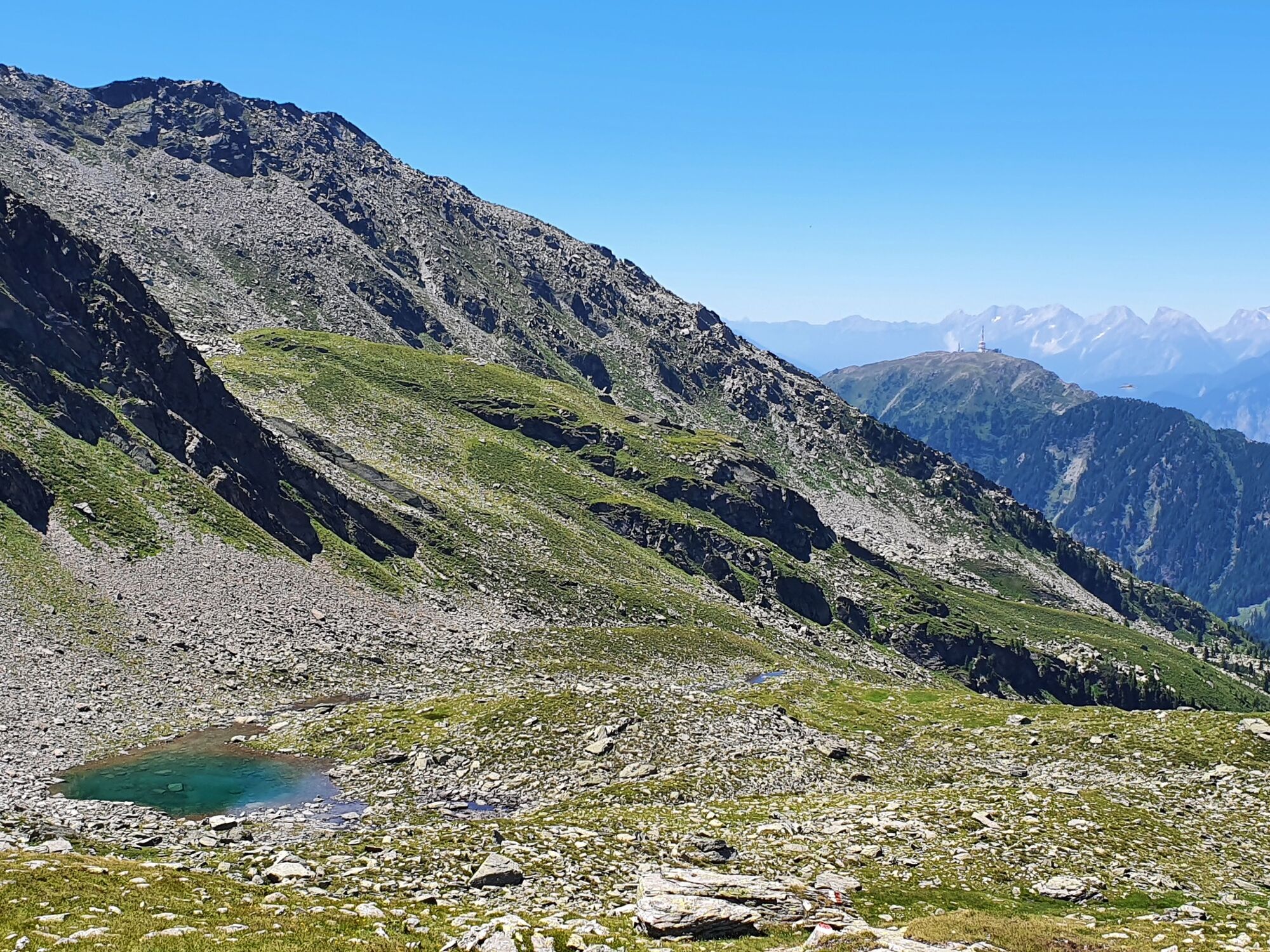
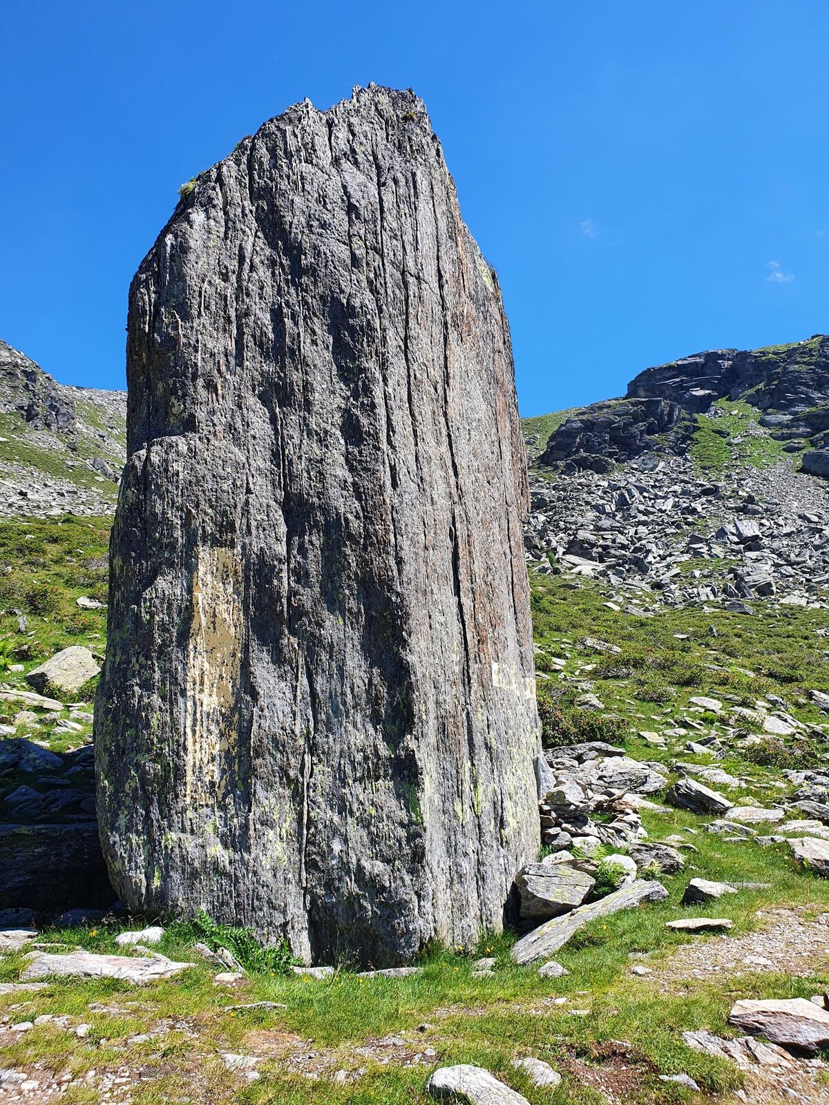
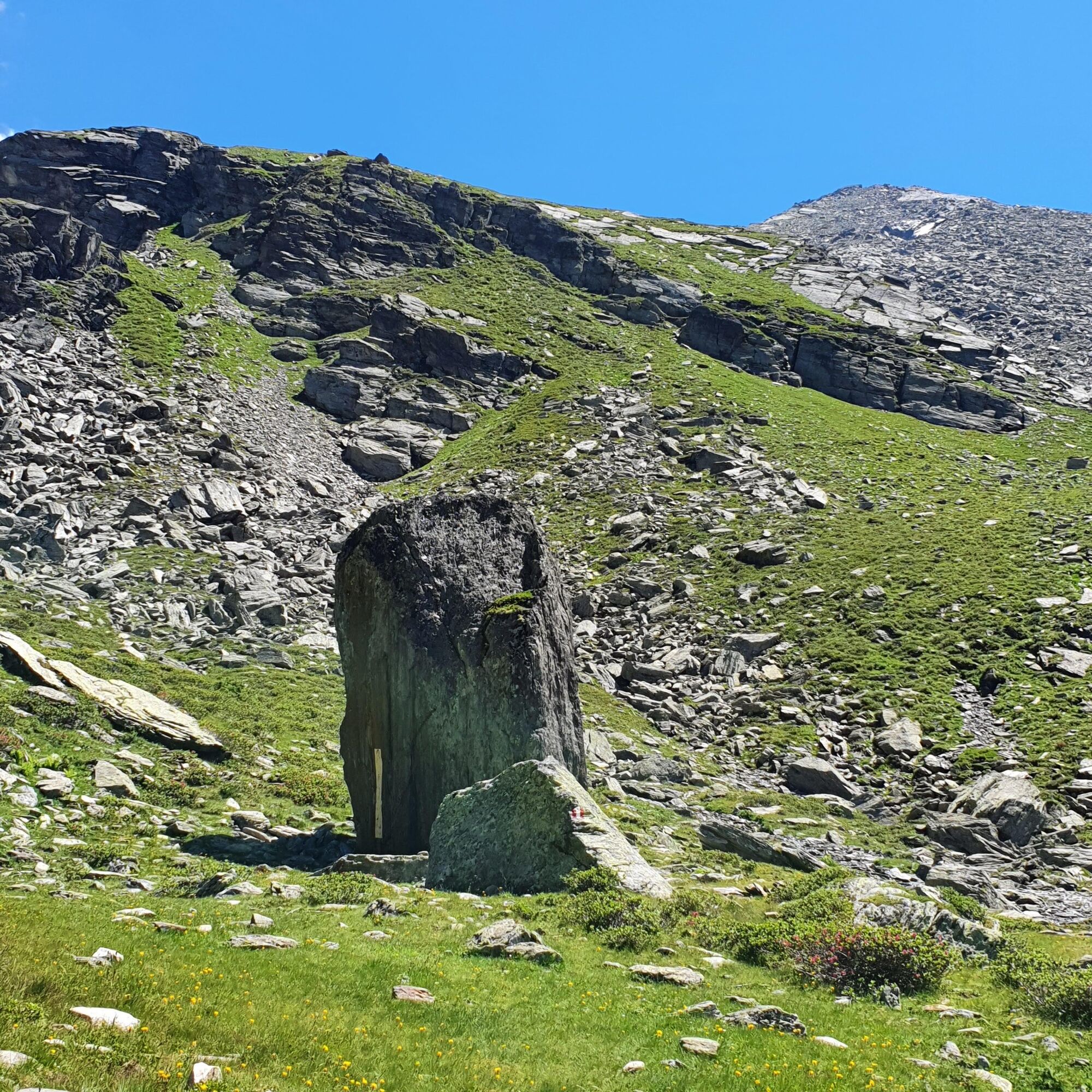
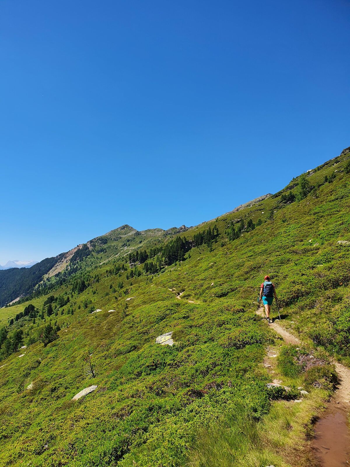
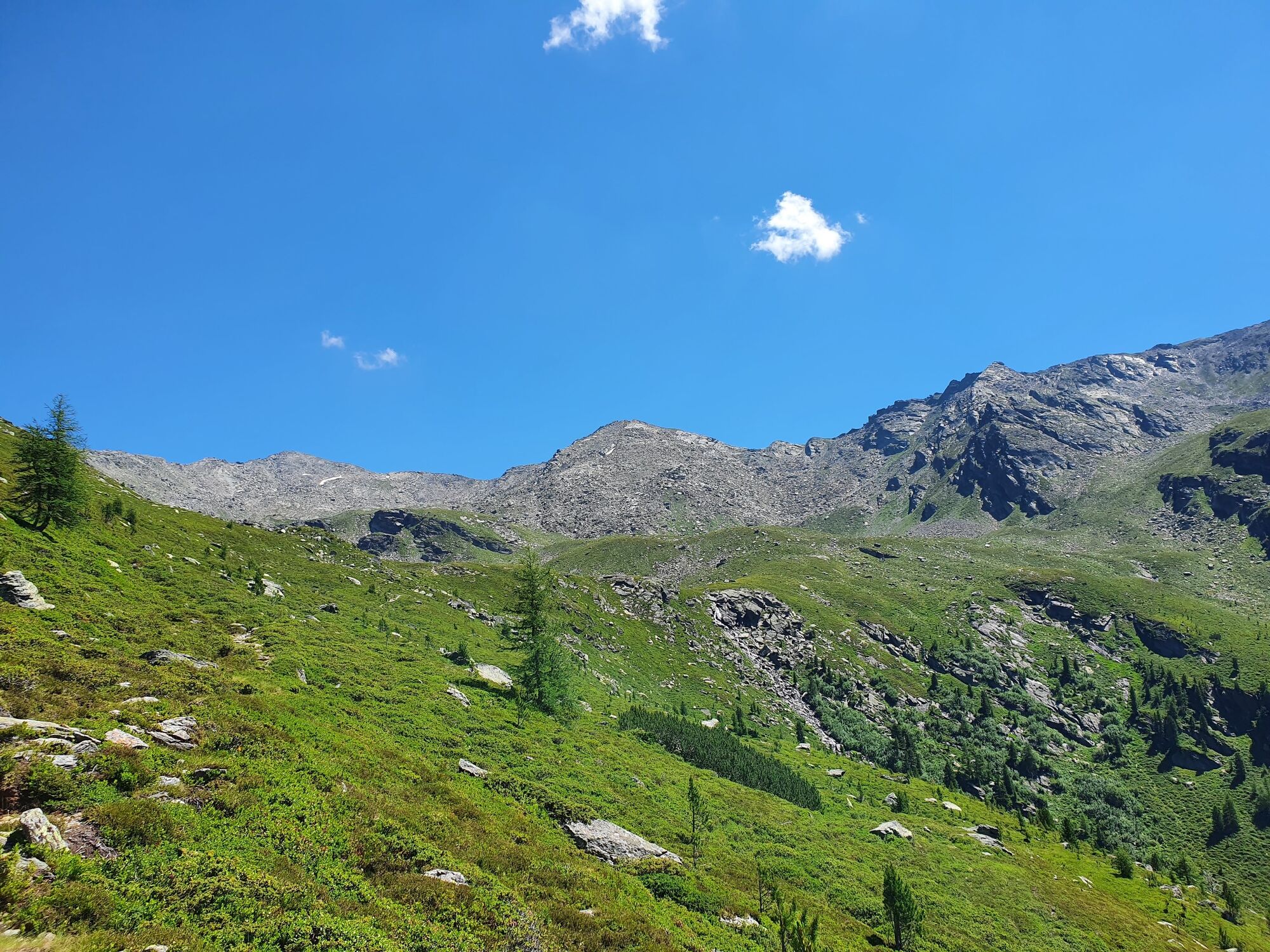
This hike takes you to the end of the Viggartal with it´s breath-taking "Blue lakes"
- Dificultad
-
medio
- Valoración
-
- Ruta
-
Tulfein Alm0,0 kmHirschvogel1,5 kmSonnenspitze (2.639 m)2,9 kmGlungezerhütte3,1 kmVorderer Schönbichl (2.397 m)11,8 kmGlungezerhütte13,0 kmSonnenspitze (2.639 m)13,3 kmHirschvogel14,6 kmTulfein Alm16,2 km
- La mejor temporada
-
enefebmarabrmayjunjulagosepoctnovdic
- Punto álgido
- 2.627 m
- Punto final
-
Blaue Seen
- Perfil alto
-

- Autor
-
La gira The blue lakes es utilizado por outdooractive.com proporcionado.
GPS Downloads


Información general
Punto de avituallamiento
Flora
Más circuitos por las regiones