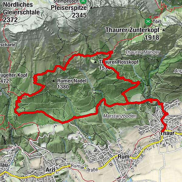
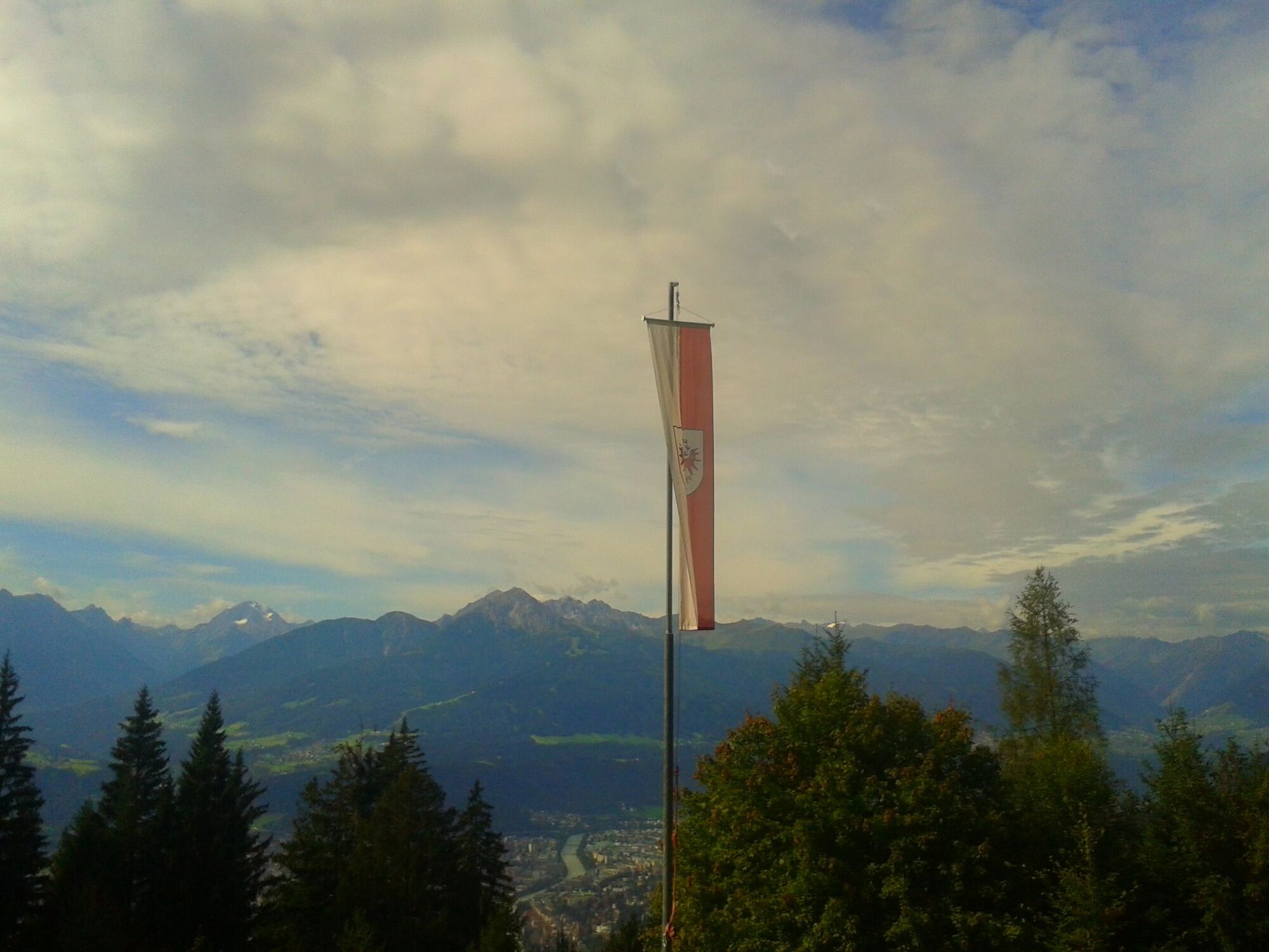
Vier-Almen-Wanderung im Naturpark Karwendel

Senderismo
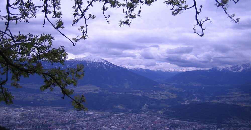
© Tourismusverband Region Hall-Wattens - Anne W.
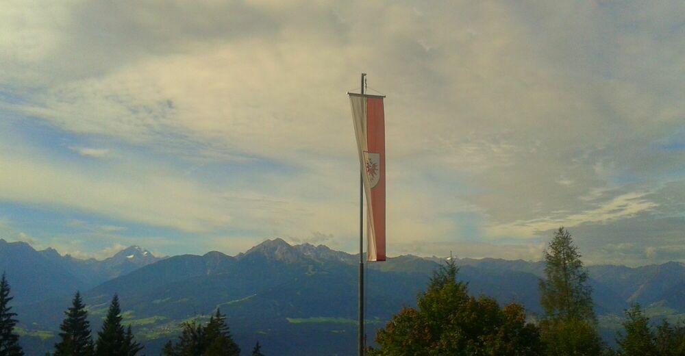
© Tourismusverband Region Hall-Wattens - Anne W.
- Breve descripción
-
Diese Almwanderung führt über 4 Almen im Naturpark Karwendel
- Dificultad
-
medio
- Valoración
-
- Ruta
-
Pizzeria Da GiuseppeThaur (633 m)0,0 kmPurner0,1 kmStollenquelle1,0 km101,2 kmSchlosskirche St. Romedius1,6 kmRomediwirt1,6 kmRumer Mure4,3 kmEnzianhütte6,2 kmRumer Alm7,5 kmVintlalm (1.587 m)9,7 kmThaurer Alm11,4 kmSchihütte WSV Thaur11,5 kmPartscheil12,7 kmRomediwirt15,3 kmSchlosskirche St. Romedius15,3 km1015,7 kmStollenquelle15,9 kmPurner16,8 kmPizzeria Da Giuseppe16,9 kmThaur (633 m)17,0 km
- La mejor temporada
-
enefebmarabrmayjunjulagosepoctnovdic
- Punto álgido
- 1.593 m
- Punto final
-
Thaur, Adolf Pichler Weg
- Perfil alto
-

- Autor
-
La gira Vier-Almen-Wanderung im Naturpark Karwendel es utilizado por outdooractive.com proporcionado.
GPS Downloads


Información general
Punto de avituallamiento
Secreto
Vistas panorámicas
Más circuitos por las regiones


