Datos del tour
2,43km
762
- 1.015m
237hm
02:30h
- Breve descripción
-
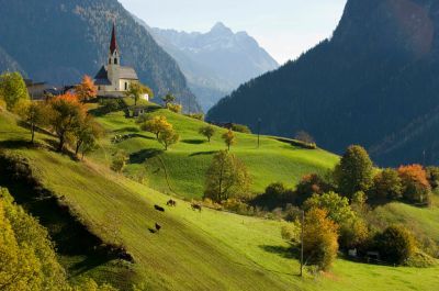
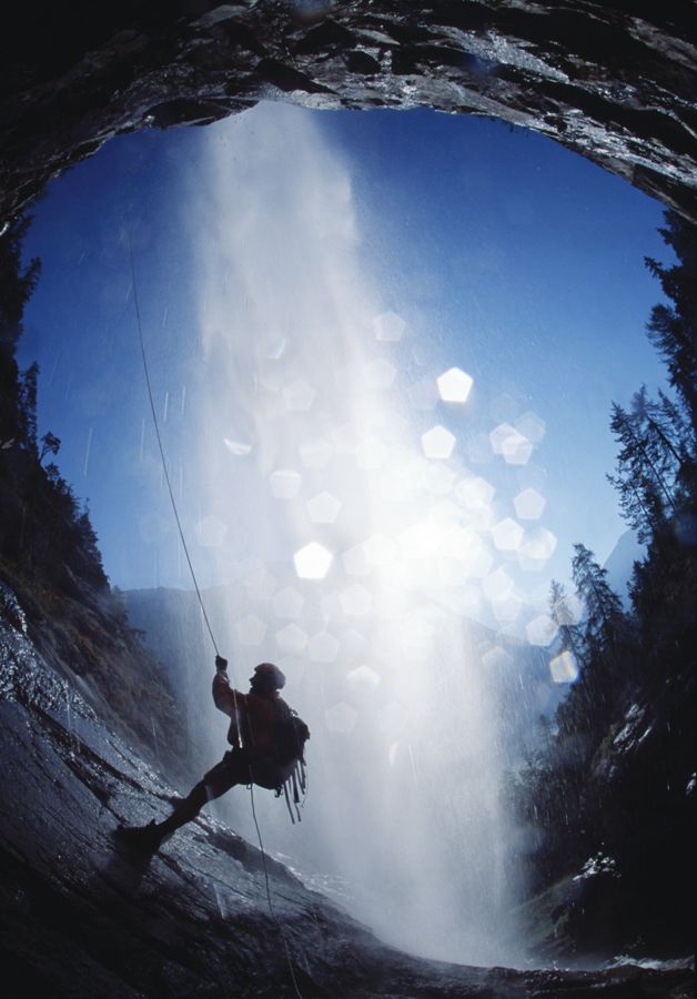
hiking tour with view on canyoning
- Dificultad
-
medio
- Valoración
-
- Punto de salida
-
At the tourist office of Ambach
- Ruta
-
Ebene1,9 kmAmbach2,4 km
- La mejor temporada
-
enefebmarabrmayjunjulagosepoctnovdic
- Punto álgido
- 1.015 m
- Descanso/Avituallamiento
-
Gasthof Ambachhof
- Material cartográfico
-
Tourist Office Oetz
Tourist Office Ambach
GPS Downloads


Superficie de carretera
Asfalto
Gravilla
Pradera
Bosque
Roca
Expuesto
Más circuitos por las regiones
-
Outdoorregion Imst
1227
-
Sautens
335