


- Breve descripción
-
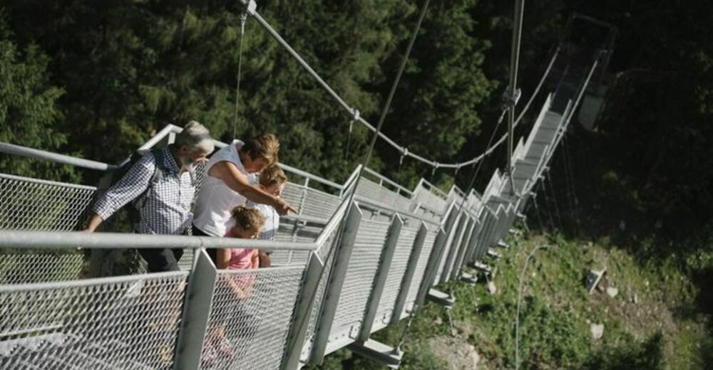
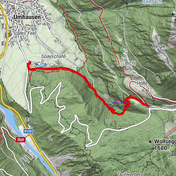
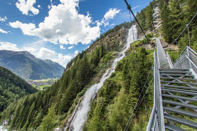
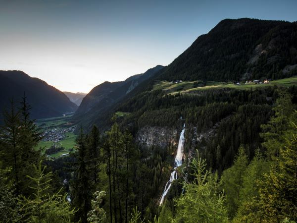
UMHAUSEN -> car park Bischoffsplatz -> Waldcafé Stuböbele -> Gasthof STUIBENFALL
- Dificultad
-
fácil
- Valoración
-
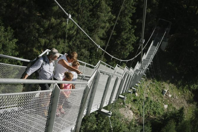
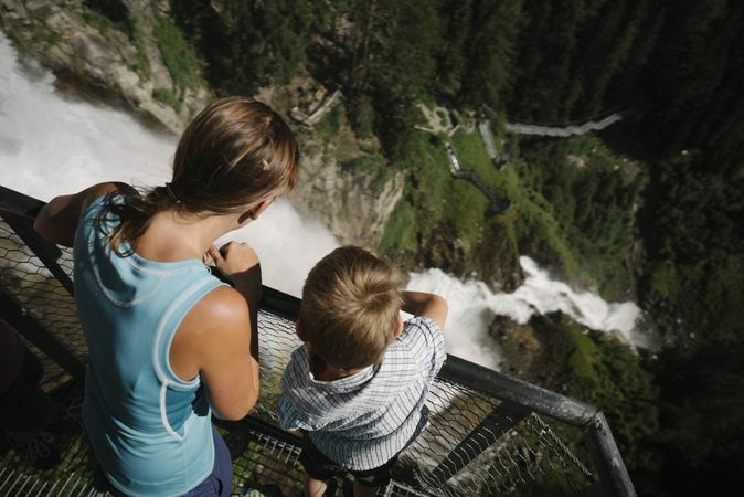
- Ruta
-
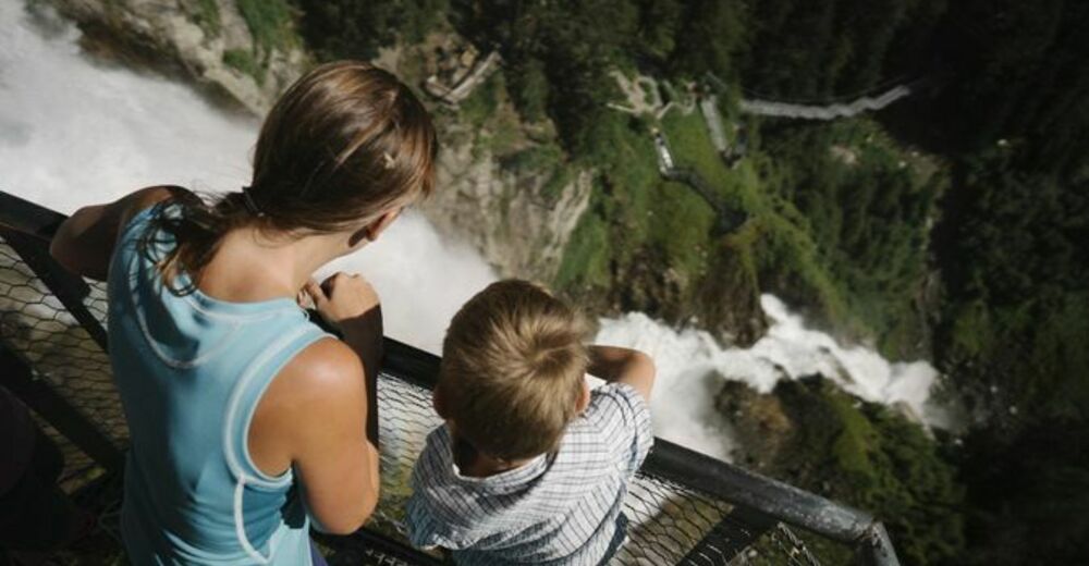
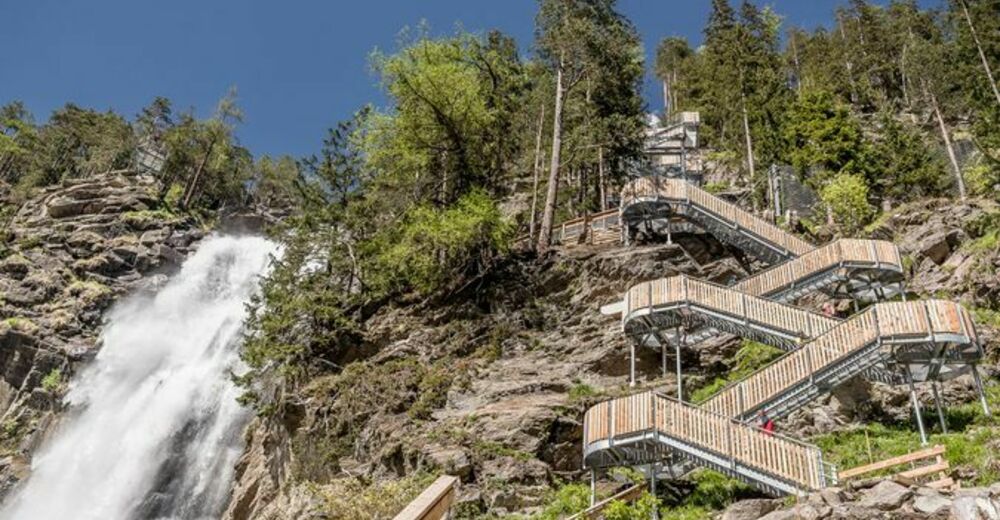
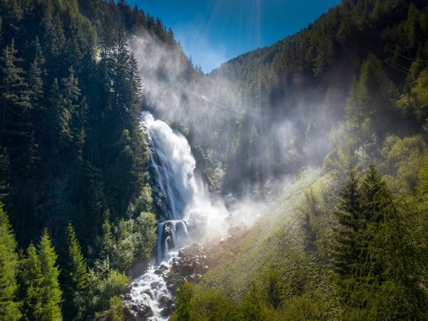
Stuibenfall Platform 11,7 kmStuibenfall Platform 32,1 kmStuibenfall2,4 kmStuibenfall Platform 52,4 kmHöfle2,7 kmMühlkapelle2,8 kmGasthof Stuibenfall2,9 km
- La mejor temporada
-
enefebmarabrmayjunjulagosepoctnovdic
- Punto álgido
- 1.478 m
- Punto final
-
Gasthof Stuibenfall
- Perfil alto
-


- Autor
-
La gira Stuibenfall hike - Umhausen es utilizado por outdooractive.com proporcionado.
GPS Downloads


Información general
Punto de avituallamiento
Clima saludable
Vistas panorámicas
Más circuitos por las regiones
-
Ötztal
1107
-
Umhausen im Ötztal
401


