- Breve descripción
-
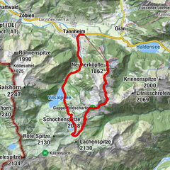
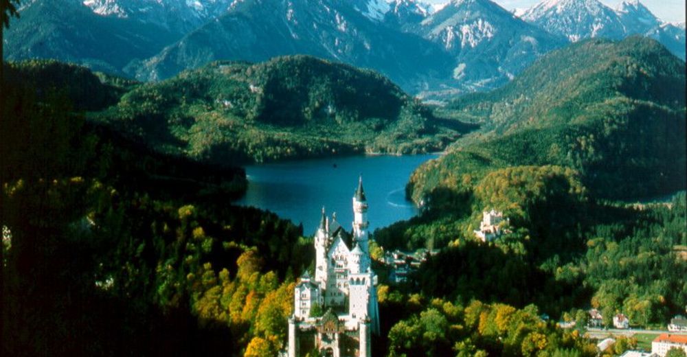
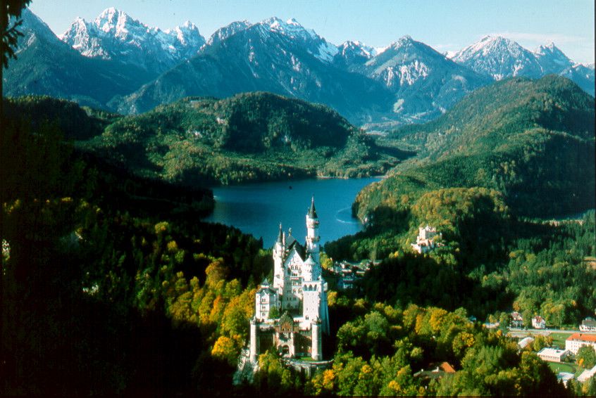
Auf den Spuren des bayrischen Königs Ludwig II. wandelt, wer auf der Königsschleife seine Runde dreht. Bereits im 19 Jhd. verbrachte die natur- und bergbegeisterte königliche Familie regelmäßig den Sommer auf Schloss Hohenschwangau und unternahm von dort aus zahlreiche Wanderungen.
- Dificultad
-
medio
- Valoración
-
- Ruta
-
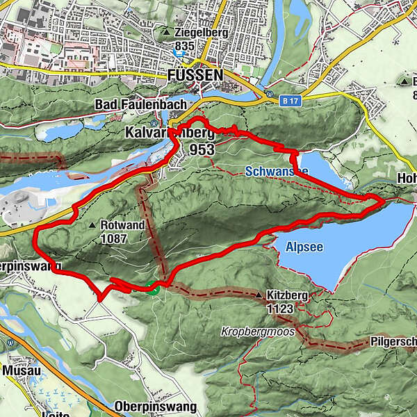
Heiligkreuz-Kapelle7,6 kmStation 127,6 kmStation 117,6 kmStation 137,6 kmKalvarienberg (953 m)7,6 kmStation 14 Heiliggrab-Kapelle7,6 kmStation 107,6 kmKerkerkapelle7,6 kmStation 97,6 kmStation 87,7 kmStation 77,7 kmStation 57,8 kmStation 67,8 kmStation 47,9 kmMarienkapelle7,9 kmStation 37,9 kmFüssen (808 m)7,9 kmLechfall8,6 kmUnterpinswang11,3 km
- La mejor temporada
-
enefebmarabrmayjunjulagosepoctnovdic
- Punto álgido
- 929 m
- Punto final
-
Gutshof Schluxen
- Perfil alto
-

-
-
AutorLa gira Königsschleife es utilizado por outdooractive.com proporcionado.
GPS Downloads


Información general
Punto de avituallamiento
Cultural/Histórico
Flora
Vistas panorámicas
Más circuitos por las regiones
-
Allgäu
2357
-
Naturparkregion Reutte
1432
-
Füssen
601