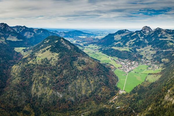
© TVB Wilder Kaiser

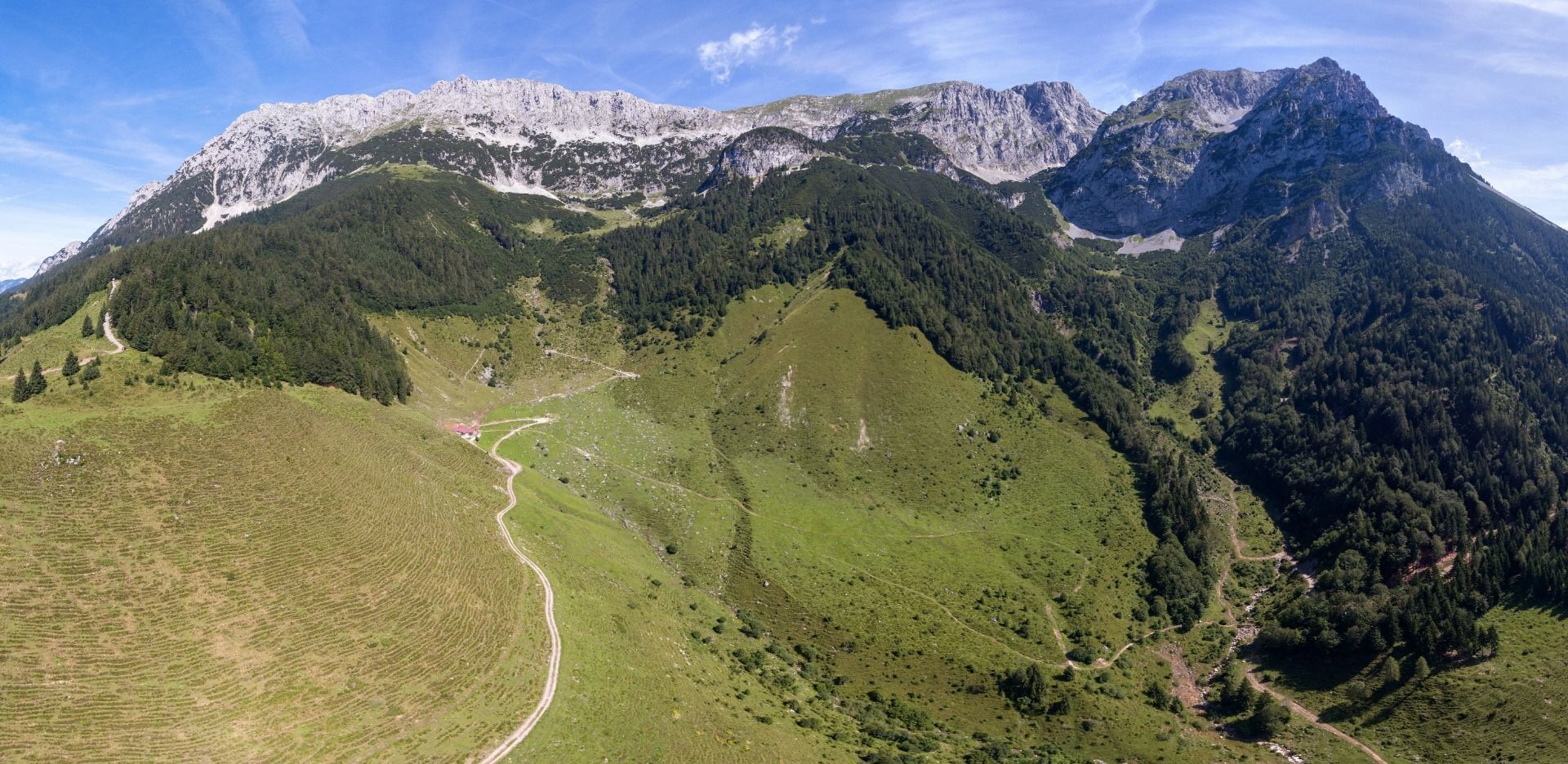
© TVB Wilder Kaiser

© TVB Wilder Kaiser - TVB Wilder Kaiser/Simon Oberleitner

- Breve descripción
-
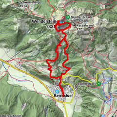
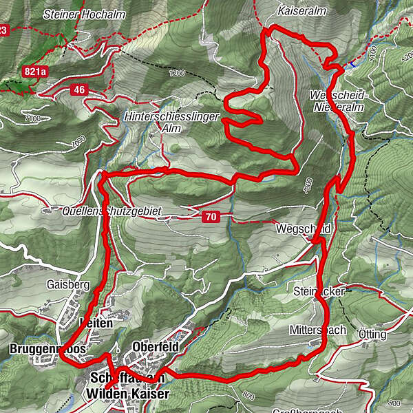
Family roundtrip through the Rebachklamm to the Seilabodenkreuz, via the Kaiseralm and the Jägerwirt back to the center of Scheffau.
- Dificultad
-
medio
- Valoración
-
- Ruta
-
Pfarrkirche Scheffau0,1 kmScheffau am Wilden Kaiser0,1 kmBruggenmoos0,6 kmLeiten (794 m)0,8 kmGaisberg (761 m)0,8 kmKaiseralm / Vorderschiessling Alm5,2 kmGasthof Jägerwirt7,3 kmWegscheid7,3 kmSteinacker7,8 kmMittersbach8,1 kmOberfeld9,2 kmScheffau am Wilden Kaiser9,6 kmPfarrkirche Scheffau9,7 km
- La mejor temporada
-
enefebmarabrmayjunjulagosepoctnovdic
- Punto álgido
- 1.206 m
- Punto final
-
Community Hall, Scheffau (740 m)
- Perfil alto
-


- Autor
-
La gira Rehbach gorge and Seilabodenkreuz es utilizado por outdooractive.com proporcionado.
GPS Downloads


Información general
Punto de avituallamiento
Vistas panorámicas
Más circuitos por las regiones
-
Wilder Kaiser
1945
-
Scheffau am Wilden Kaiser
614