© TVB Tiroler Zugspitz Arena - C. Jorda
Datos del tour
13,85km
1.111
- 2.942m
1.954hm
150hm
08:30h
- Breve descripción
-
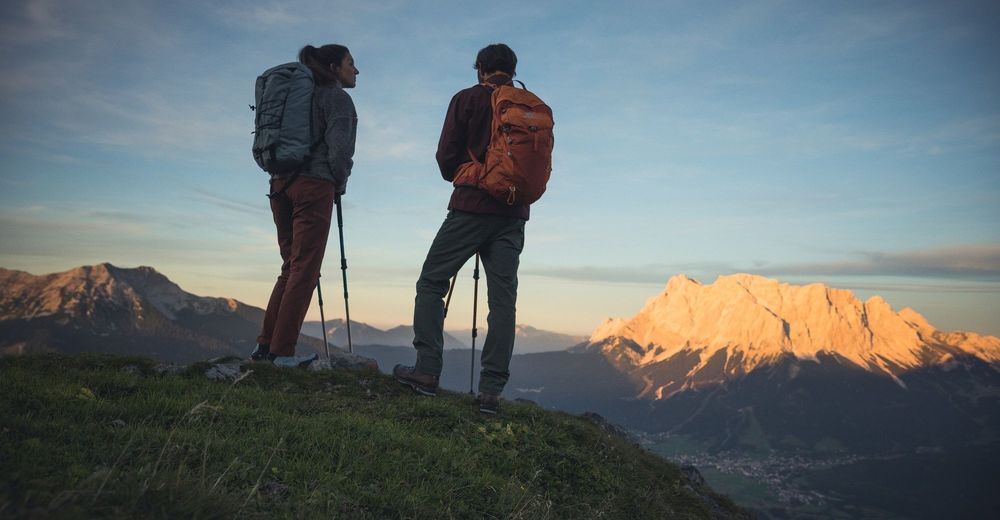
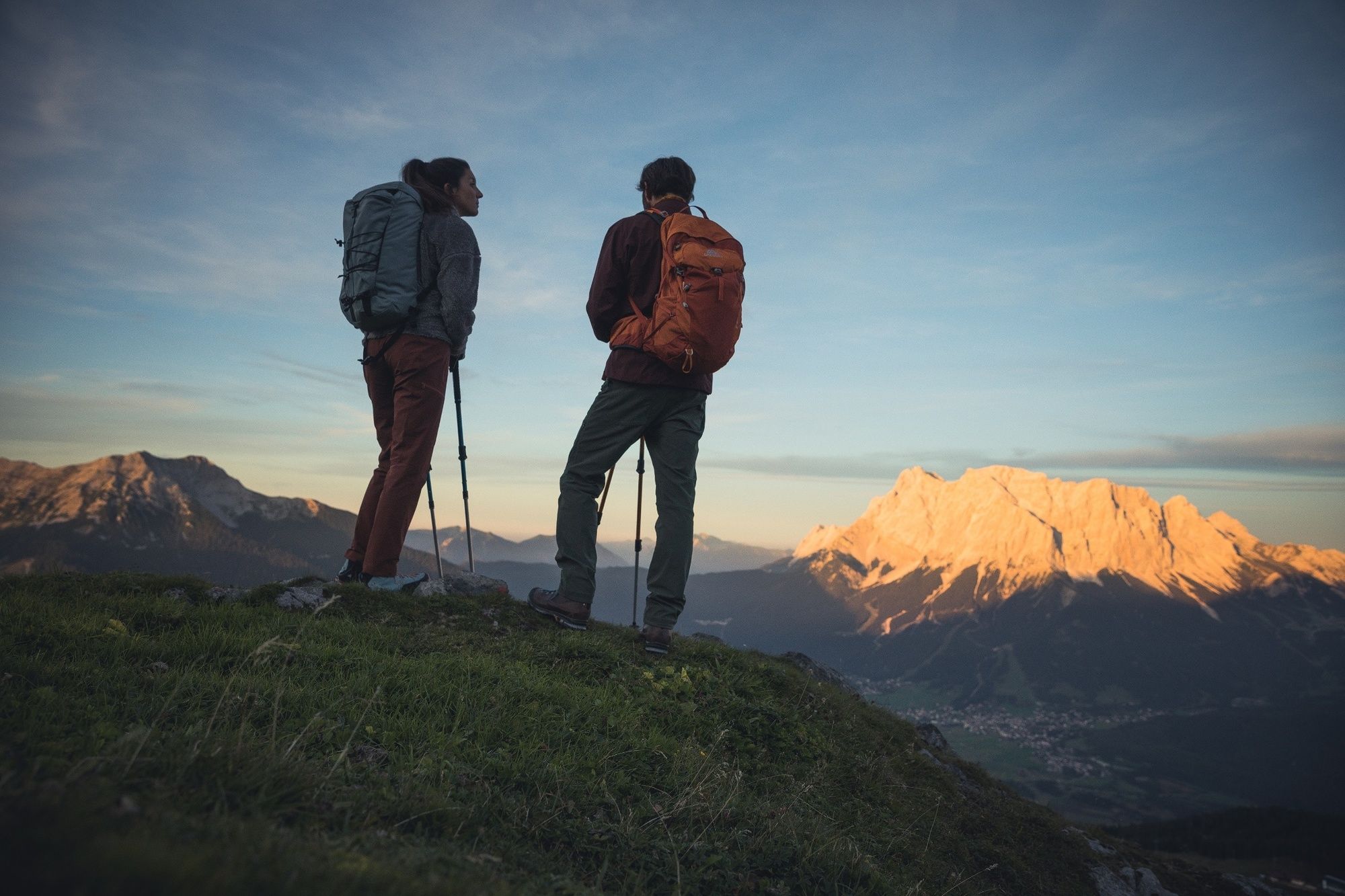
Beautiful mountain tour to the Zugspitze. With its highest point at almost 3,000 metres shared between Tirol and Bavaria, this makes it also the highest peak in Germany.
- Dificultad
-
difícil
- Valoración
-
- Ruta
-
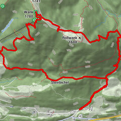
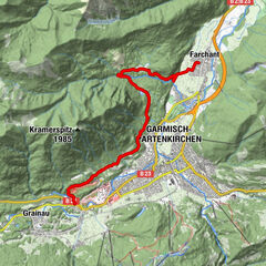
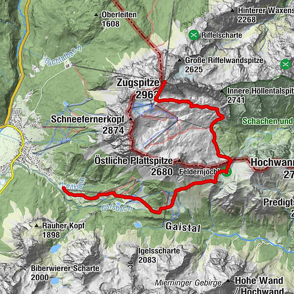
BrentAlm0,0 kmGanghofer Hütte (1.289 m)1,3 kmEhrwalder Alm2,6 kmPestkapelle4,0 kmHochfeldern-Alm4,4 kmGatterl (2.024 m)7,8 kmEhemalige Gatterlhütte8,5 kmKnorrhütte (2.052 m)10,1 kmGletscherbahn Bergstation13,8 kmZugspitze (2.962 m)13,8 km
- La mejor temporada
-
enefebmarabrmayjunjulagosepoctnovdic
- Punto álgido
- 2.942 m
- Punto final
-
Zugspitze
- Perfil alto
-

- Autor
-
La gira Ehrwald - Gatterl - Zugspitze es utilizado por outdooractive.com proporcionado.
GPS Downloads


Información general
Punto de avituallamiento
Vistas panorámicas
Más circuitos por las regiones
-
Mieminger Plateau & Inntal
1686
-
Zugspitze
438