

© TVB Wilder Kaiser - TVB Wilder Kaiser/Felbert Reiter

© TVB Wilder Kaiser - TVB Wilder Kaiser/Stefan Leitner

© TVB Wilder Kaiser - Tanzbodenalm

© TVB Wilder Kaiser - TVB Wilder Kaiser/Stefan Leitner

© TVB Wilder Kaiser - TVB Wilder Kaiser/Stefan Leitner

© TVB Wilder Kaiser - TVB Wilder Kaiser/Martin Lifka

© TVB Wilder Kaiser - TVB Wilder Kaiser/Marcel Laemmerhirt

© TVB Wilder Kaiser - TVB Wilder Kaiser/Stefan Leitner

- Breve descripción
-
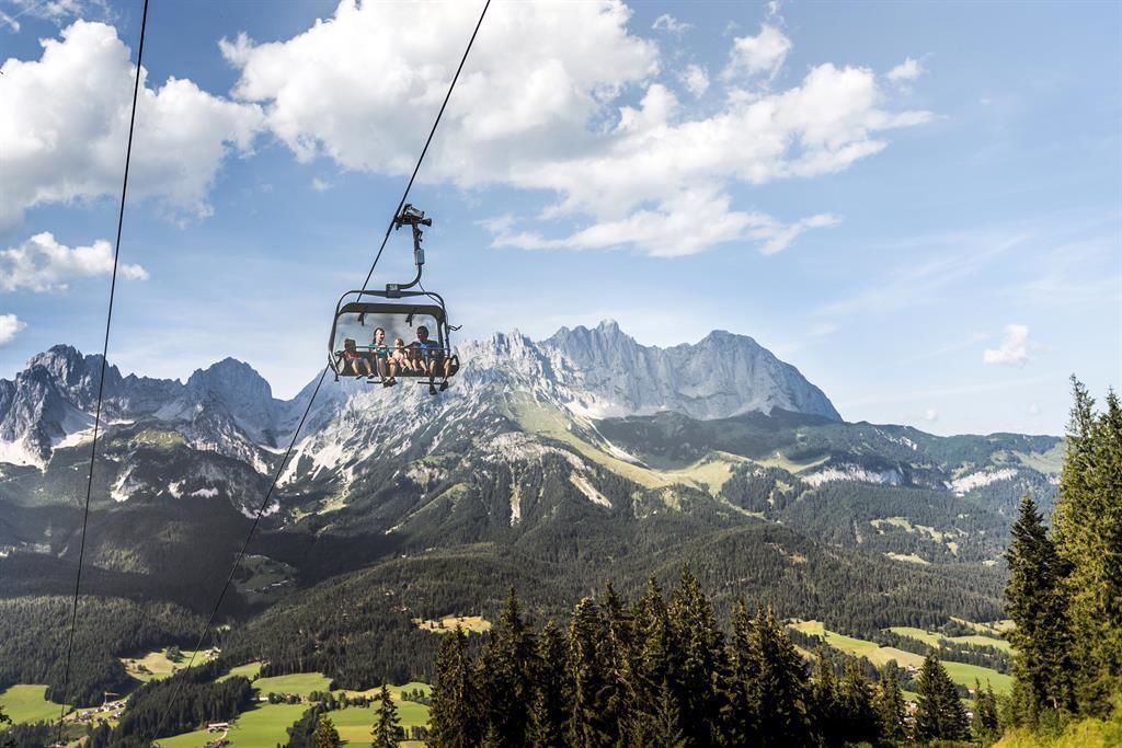
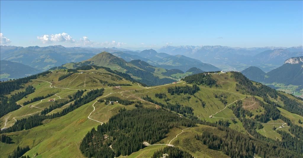
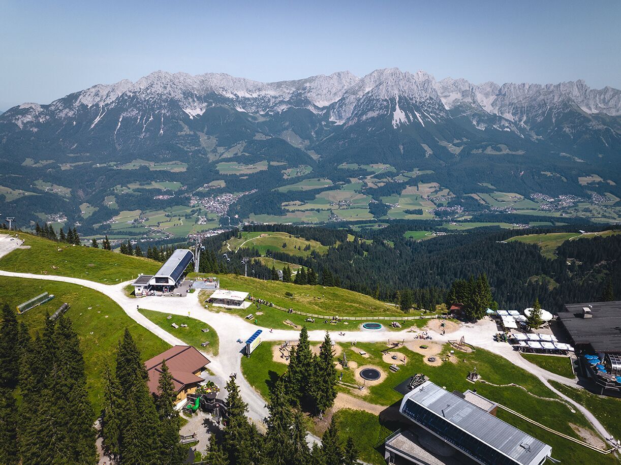
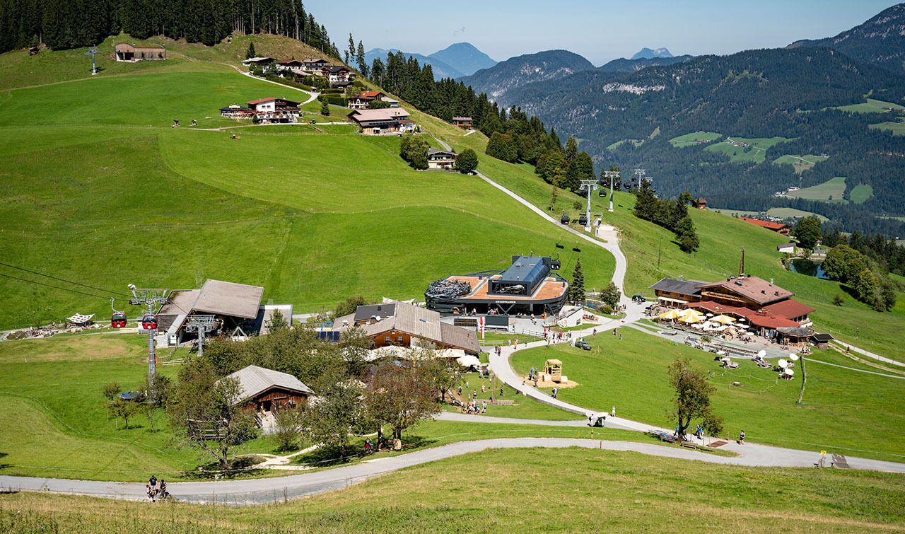
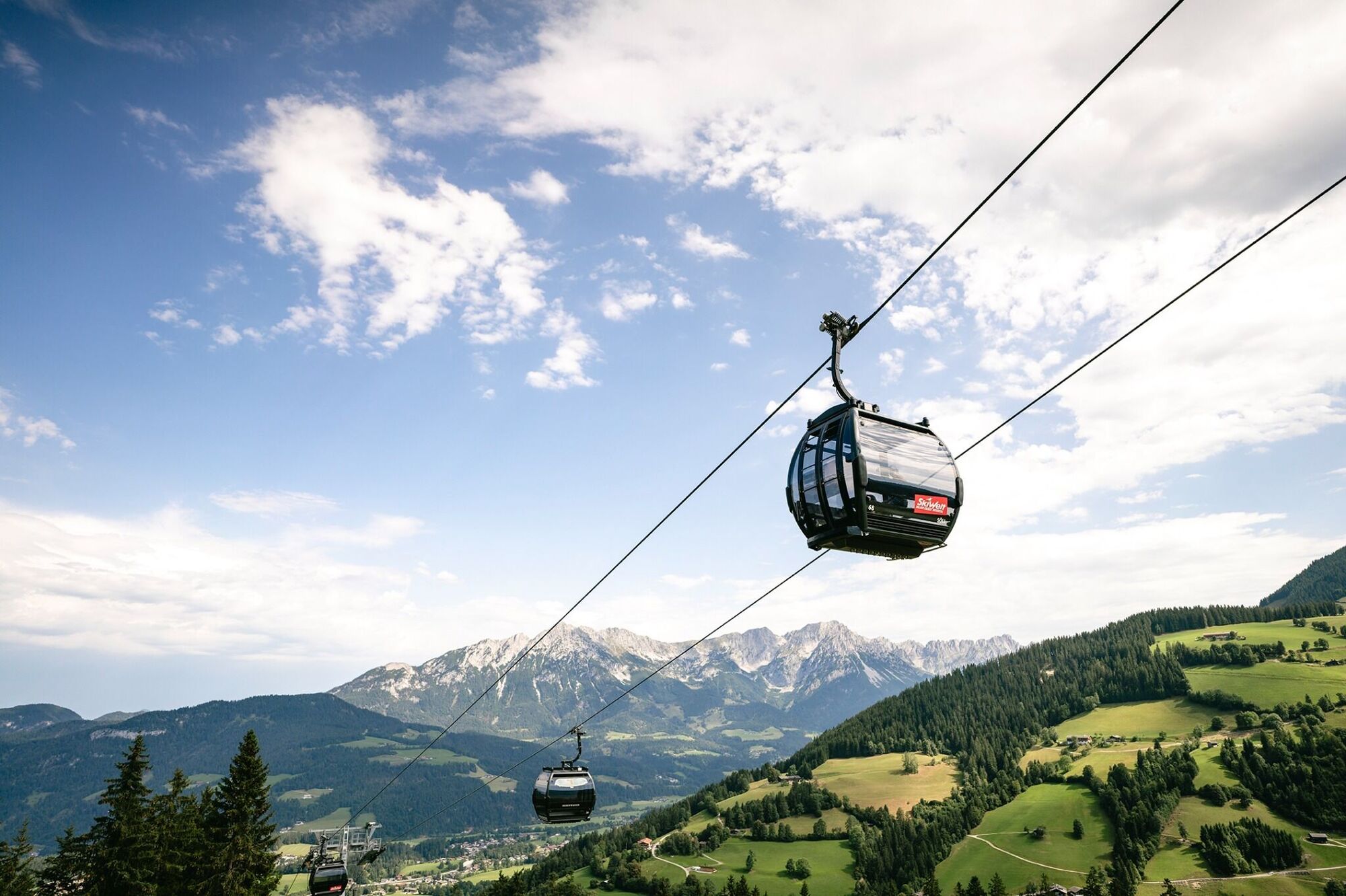
The highlight for everyone who loves hiking for pleasure - lush Alpine meadows, sparkling mountain lakes and delightful food in the Kitzbühel Alps. And the Bergbahnen Wilder Kaiser - Brixental summer cable cars make the ascent and descent easy.
- Dificultad
-
difícil
- Valoración
-
- Ruta
-
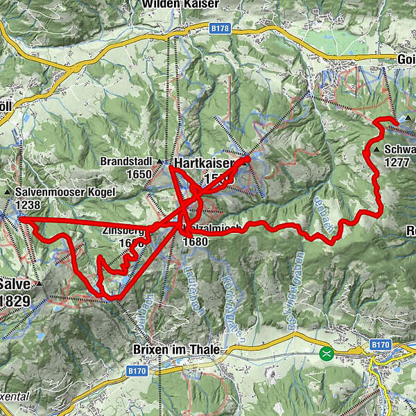
Astberg0,0 kmJEZZ - ehem. Brenner Alm (1.250 m)0,6 kmBergrestaurant Jochstubn11,2 kmHolzalmjoch11,2 kmHolzalmjoch (1.680 m)11,4 kmZinsberg (1.668 m)12,2 kmZinsbergbahn (1.675 m)12,3 kmEiberg (1.673 m)13,3 kmKlabauterschiff15,0 kmHartkaiser (1.555 m)15,1 kmPanoramarestaurant Bergkaiser (1.520 m)15,2 kmOsthang (1.650 m)20,2 kmBerggasthof Brandstadl20,3 kmTanzbodenalm20,7 kmTanzboden (1.602 m)21,2 kmHolzalmjoch (1.641 m)22,3 kmBergrestaurant Jochstubn22,4 kmÜbungslift Poldanger22,5 kmHolzalmjoch (1.680 m)22,5 kmHolzalm23,2 kmSkiWelt Hütte24,9 kmHochsöll28,9 kmKeat28,9 kmZinsberg (1.668 m)32,0 km
- La mejor temporada
-
enefebmarabrmayjunjulagosepoctnovdic
- Punto álgido
- 1.661 m
- Punto final
-
Hochsöll
- Perfil alto
-


- Autor
-
La gira SkiWelt Panoramic Trail es utilizado por outdooractive.com proporcionado.
GPS Downloads


Información general
Punto de avituallamiento
Flora
Vistas panorámicas
Más circuitos por las regiones


