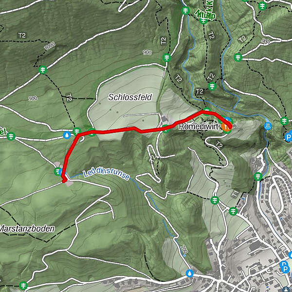
From the Thaurer Almparkplatz over the Thaurer castle to the Romediwirt

Senderismo

© Tourismusverband Region Hall-Wattens - Hall Wattens

© Tourismusverband Region Hall-Wattens - Hall Wattens

© Tourismusverband Region Hall-Wattens - Hall Wattens

© Tourismusverband Region Hall-Wattens - Hall Wattens

© Tourismusverband Region Hall-Wattens - Hall Wattens

© Tourismusverband Region Hall-Wattens - Hall Wattens
- Breve descripción
-
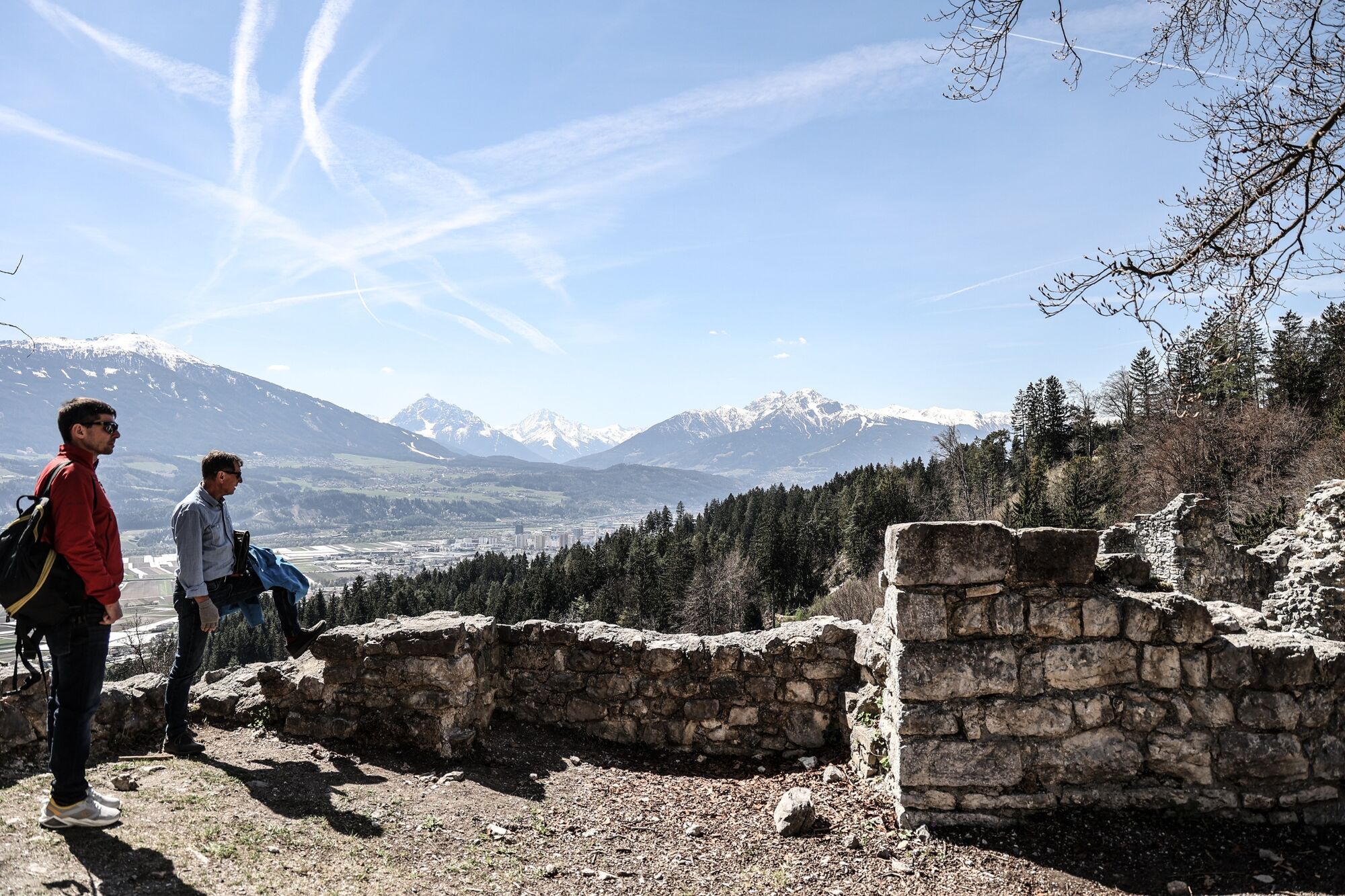
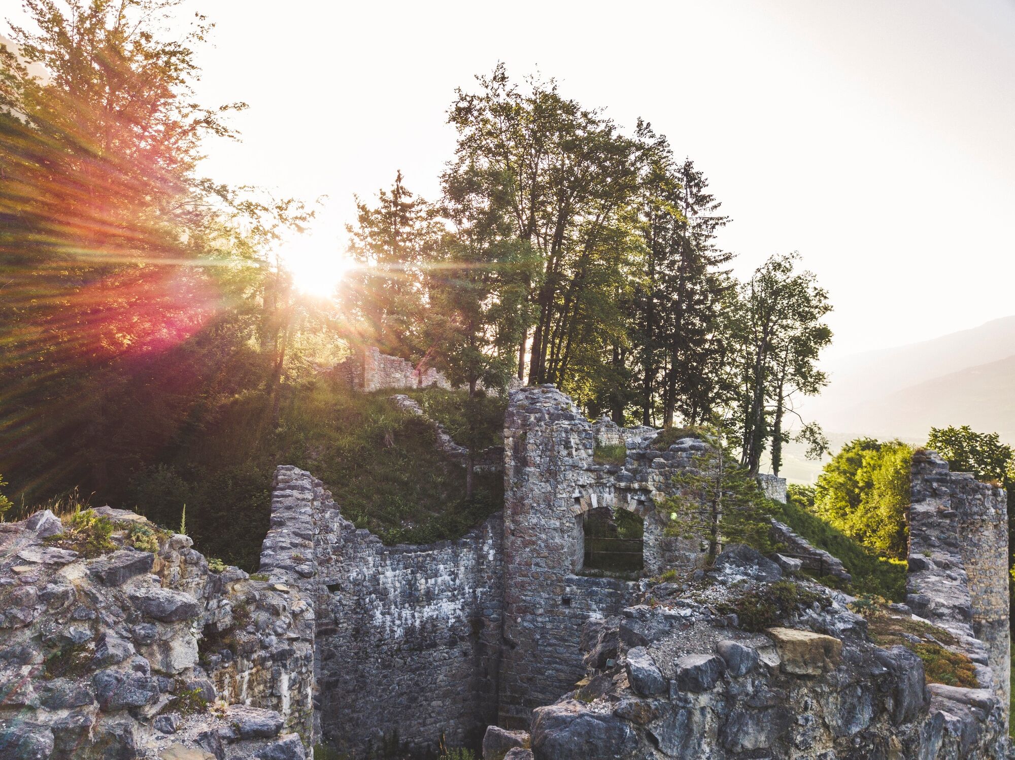
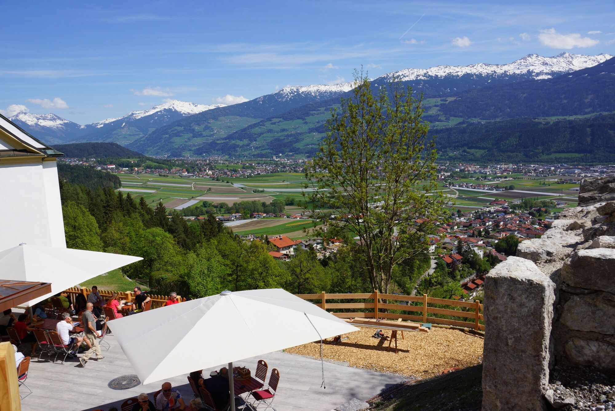
This short walk leads us over the Thaur castle ruin to the newly built Romediwirt.
- Dificultad
-
fácil
- Valoración
-
- Ruta
-
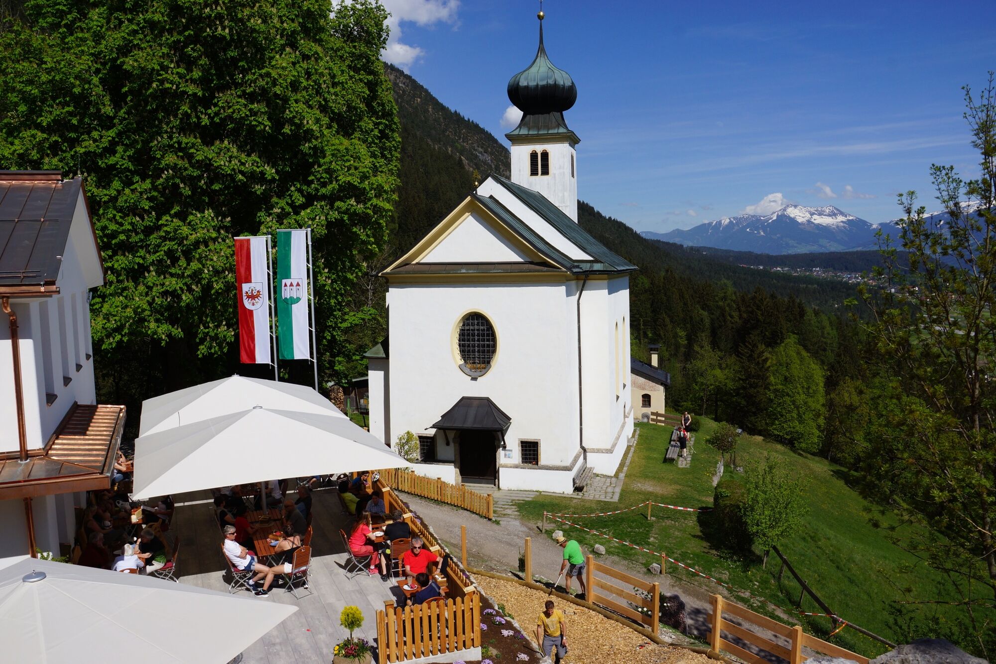
Romediwirt0,9 km100,9 kmSchlosskirche St. Romedius0,9 km
- La mejor temporada
-
enefebmarabrmayjunjulagosepoctnovdic
- Punto álgido
- 855 m
- Punto final
-
Thaur
- Perfil alto
-


-

-
AutorLa gira From the Thaurer Almparkplatz over the Thaurer castle to the Romediwirt es utilizado por outdooractive.com proporcionado.
GPS Downloads


Información general
Punto de avituallamiento
Cultural/Histórico
Más circuitos por las regiones
-
Innsbruck und seine Feriendörfer
1510
-
Thaur
353


