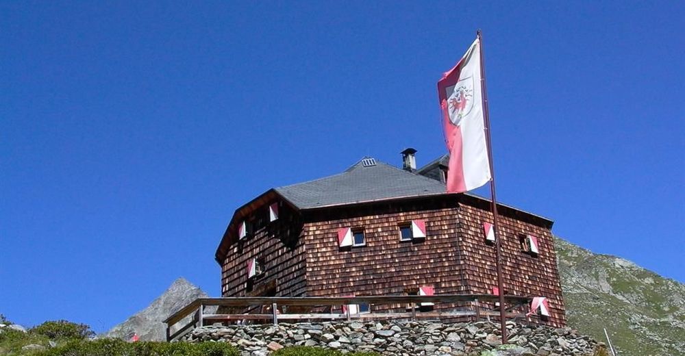
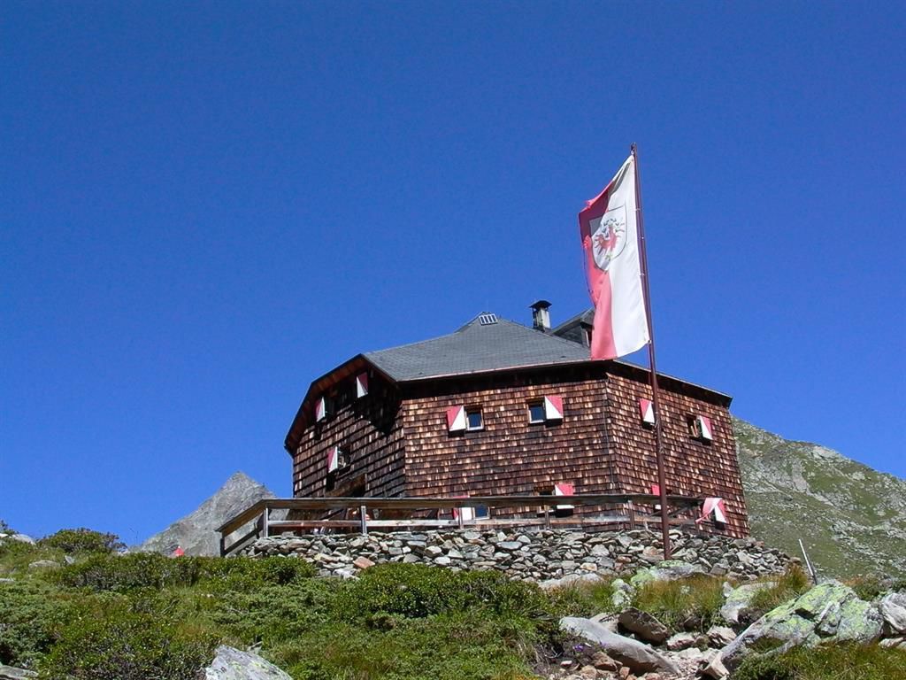
© Österreichs Wanderdörfer - Bernhard Pichler
Datos del tour
60,16km
1.026
- 2.774m
3.787hm
4.149hm
21:37h

Österreichs Wanderdörfer
- Dificultad
-
difícil
- Valoración
-
- Ruta
-
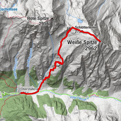
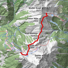
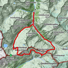
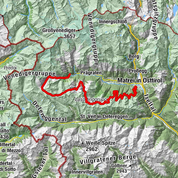
Ströden (1.403 m)Islitzeralm1,4 kmGroßbachfall1,9 kmUmbalfälle2,0 kmAussichtskanzel Großbachfall2,2 kmSchutzhütte8,7 kmDaberlenke (2.627 m)11,1 kmRote Lenke (2.794 m)15,7 kmBergerseehütte24,3 kmMaterialseilbahn Lasörlinghütte29,4 kmLasörlinghütte29,4 kmMerschenhöhe (2.499 m)31,6 kmZupalseehütte (2.350 m)35,7 kmArnitzalm50,6 kmZunigalm53,3 kmWaier59,8 kmNikolauskirche60,0 kmGanz60,1 km
- La mejor temporada
-
enefebmarabrmayjunjulagosepoctnovdic
- Punto álgido
- 2.774 m
- Punto final
-
St. Nikolaus
- Perfil alto
-

-

-
AutorÖsterreichs WanderdörferLa gira Lasörling Höhenweg es utilizado por outdooractive.com proporcionado.
GPS Downloads


Información general
Punto de avituallamiento
Vistas panorámicas
Más circuitos por las regiones