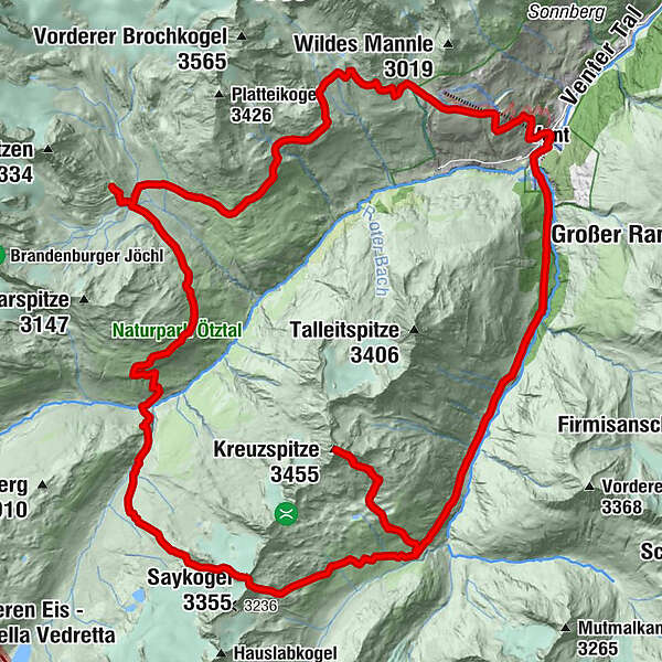
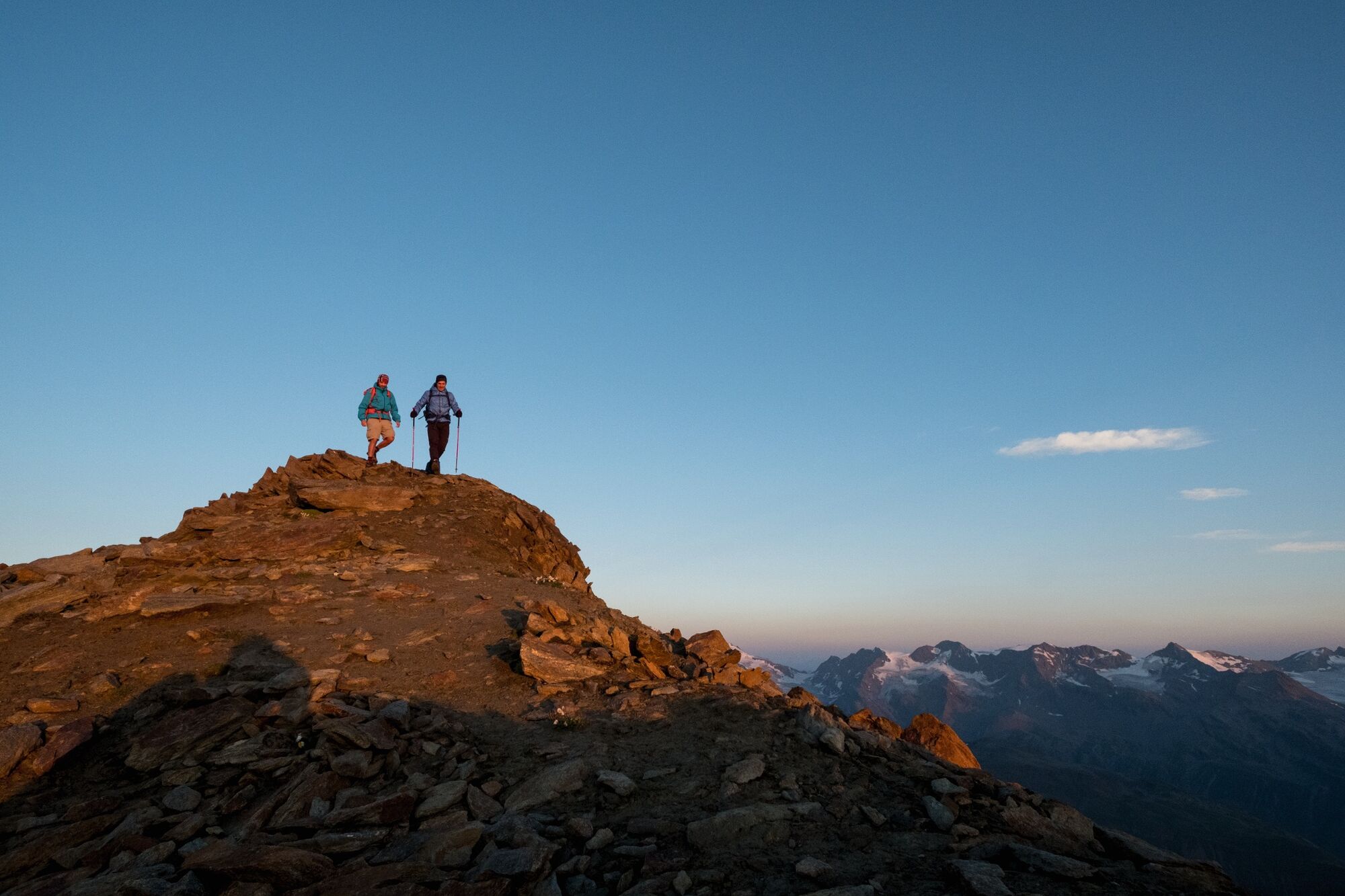
Vent-Breslauer Hütte-Saykogel-Martin Busch Hütte-Kreuzspitze-Vent

Senderismo


- Breve descripción
-
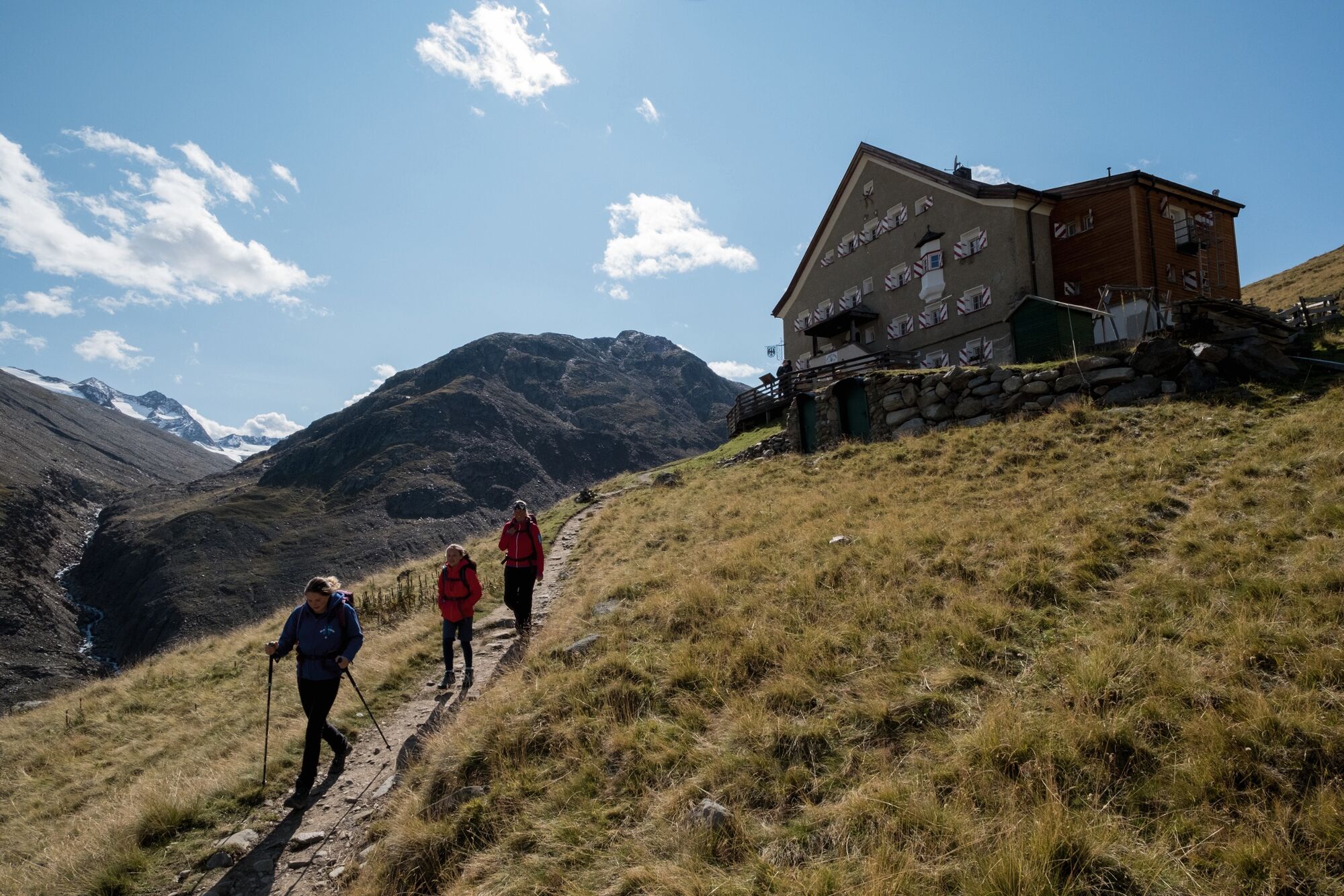
VENT -> Breslauer Hütte -> Hochjoch Hospiz -> Saykogel -> Martin Busch Hütte -> Kreuzspitze -> VENT
- Dificultad
-
difícil
- Valoración
-
- Ruta
-
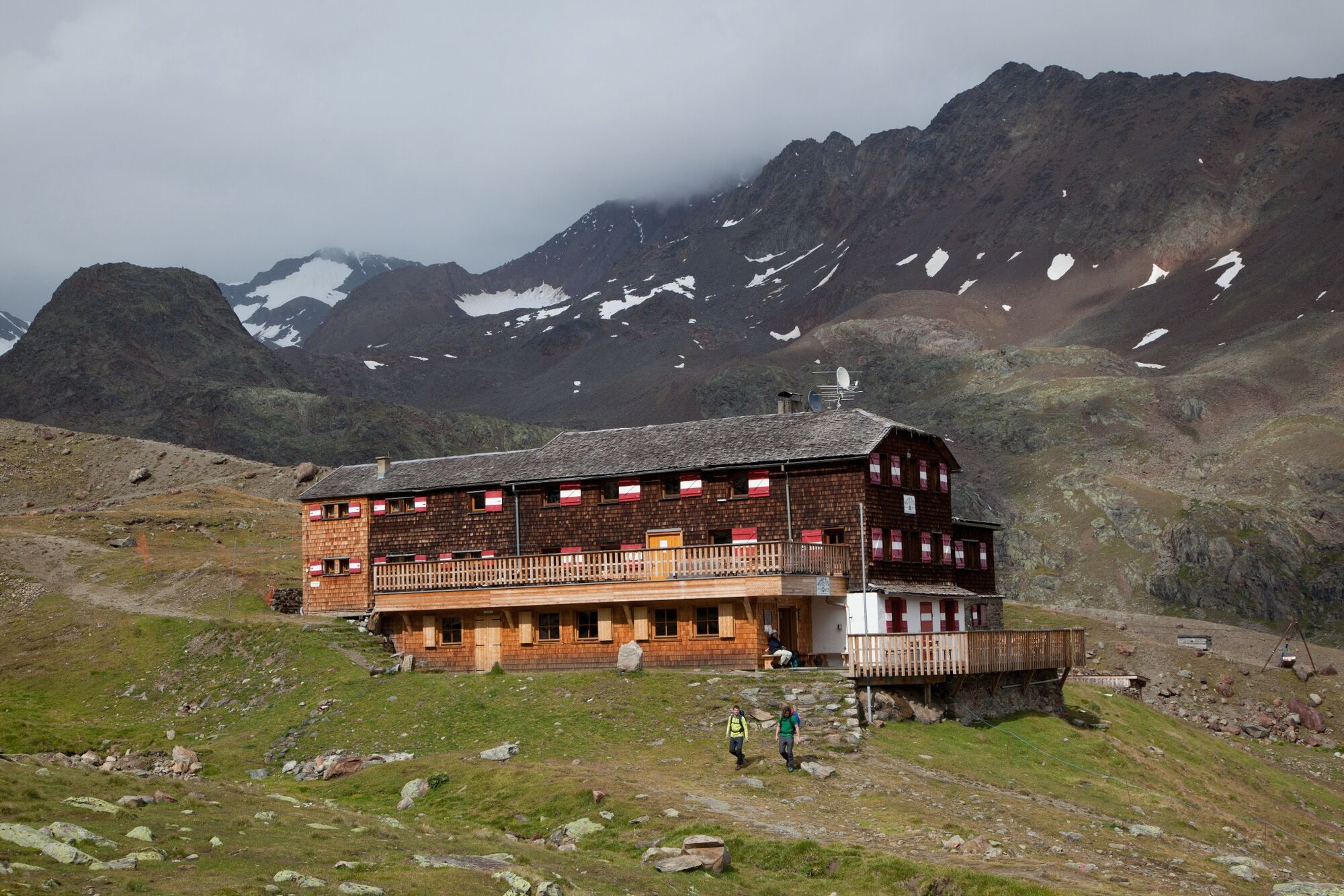
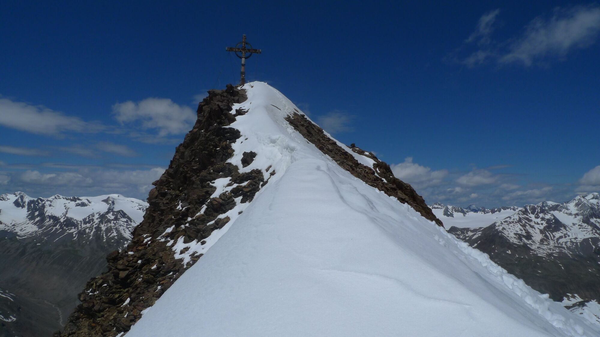
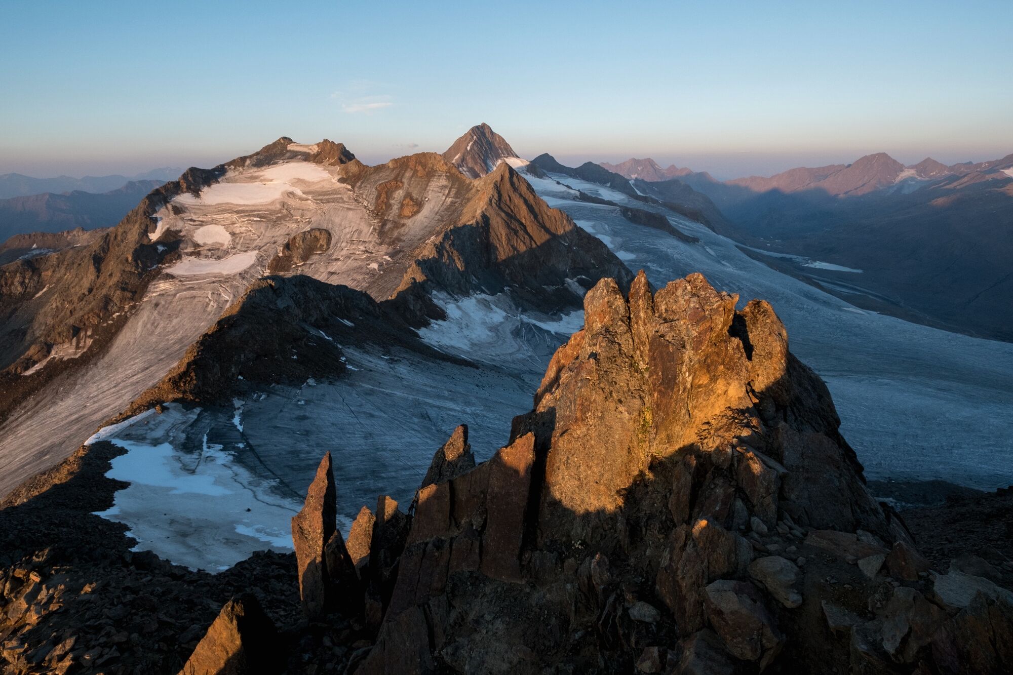
VentWildes Mannle1,9 kmPanoramarestaurant Stablein1,9 kmBreslauer Hütte4,4 kmVernagthütte11,4 kmHochjoch-Hospiz16,6 kmSaykogel (3.355 m)22,1 kmMartin-Busch-Hütte25,4 kmKreuzspitze (3.455 m)28,3 kmMartin-Busch-Hütte31,2 kmOchsenkopflift38,4 kmGasthaus Pension Obervent38,8 kmVent38,9 km
- La mejor temporada
-
enefebmarabrmayjunjulagosepoctnovdic
- Punto álgido
- 3.435 m
- Punto final
-
Vent
- Perfil alto
-


- Autor
-
La gira Vent-Breslauer Hütte-Saykogel-Martin Busch Hütte-Kreuzspitze-Vent es utilizado por outdooractive.com proporcionado.
GPS Downloads
Información general
Punto de avituallamiento
Más circuitos por las regiones
-
Vinschgau
1290
-
Schnalstal
595
-
Vent
293