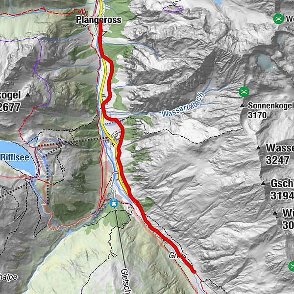
From Plangeroß, 1616 m to the Gletcherstube 1891 m

Senderismo


- Breve descripción
-
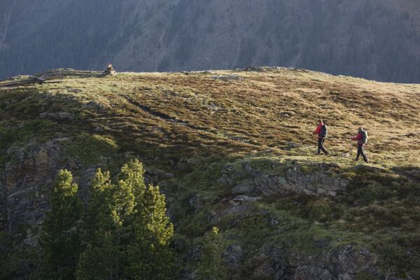
Walk trough the interior Pitztal and make the experience of the formidable and unique landscape with green fields and many waterfallls, along the valley and the breathtaking view on the Mittelbergferner.
- Ruta
-
PlangerossPfarrkirche Plangeross0,0 kmBergwerk0,1 kmTieflehn1,3 kmRestaurant-Cafe s'Pfandl1,5 kmAlmbar Hexenkessel1,5 kmMandarfen2,3 kmMittelberg3,0 kmGletscherstube (1.891 m)5,3 km
- Punto álgido
- 1.882 m
- Perfil alto
-


- Autor
-
La gira From Plangeroß, 1616 m to the Gletcherstube 1891 m es utilizado por outdooractive.com proporcionado.
GPS Downloads


Más circuitos por las regiones