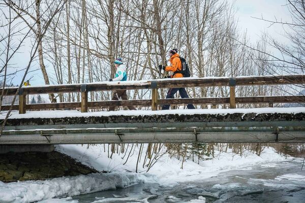
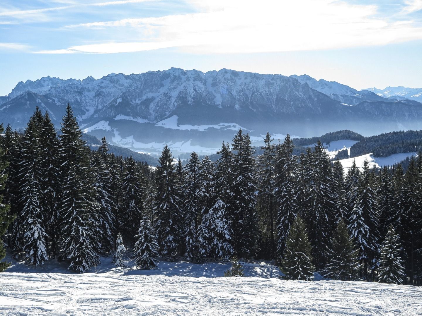
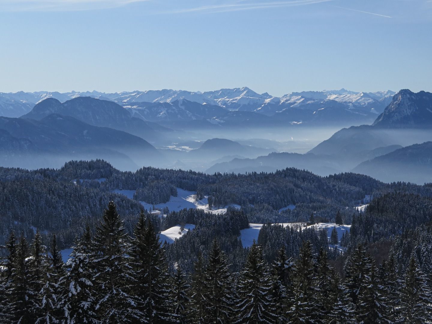
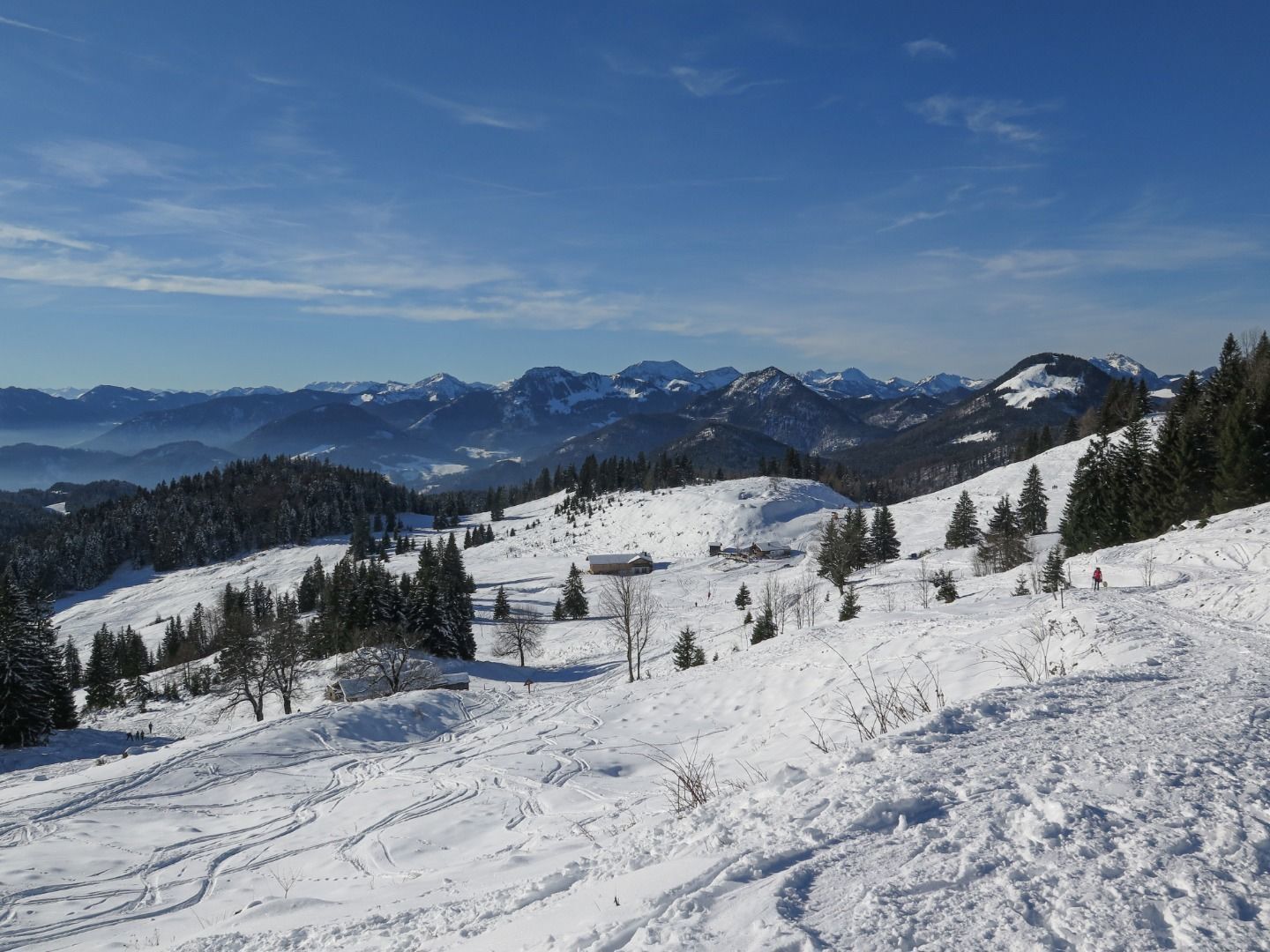
Winter hiking over the erlerberg

Senderismo de invierno

© TVB Kufsteinerland - Sabrina Becker/ Kufsteinerland

© TVB Kufsteinerland - Sabrina Becker/ Kufsteinerland

© TVB Kufsteinerland - Sabrina Becker/ Kufsteinerland

© TVB Kufsteinerland - Sabrina Becker/ Kufsteinerland

- Breve descripción
-
Sunny winter hiking with a fantastic view to the Kaiser Mountains and rewarding refreshment stops that leave you spoilt for choice.
- Dificultad
-
medio
- Valoración
-
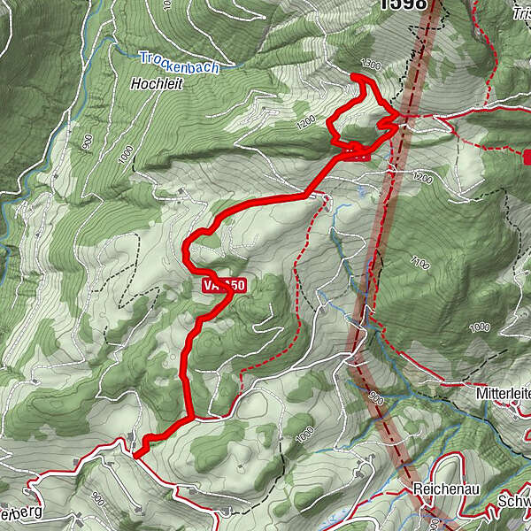
- Ruta
-
Spitzsteinhaus2,8 kmAltkaser Alm2,9 km
- La mejor temporada
-
agosepoctnovdicenefebmarabrmayjunjul
- Punto álgido
- 1.271 m
- Punto final
-
Parking place Erlerberg
- Perfil alto
-


- Autor
-
La gira Winter hiking over the erlerberg es utilizado por outdooractive.com proporcionado.
GPS Downloads


Más circuitos por las regiones
-
Kufsteinerland
191
-
Niederndorferberg
39