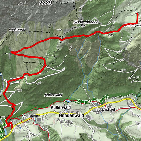
St. Martin - Hinterhornalm - Walderalm

Senderismo

© Tourismusverband Region Hall-Wattens - Hall Wattens

© Tourismusverband Region Hall-Wattens - Hall Wattens

© Tourismusverband Region Hall-Wattens - Hall Wattens

© Tourismusverband Region Hall-Wattens - Hall Wattens

© Tourismusverband Region Hall-Wattens - Hall Wattens

© Tourismusverband Region Hall-Wattens - Hall Wattens

© Tourismusverband Region Hall-Wattens - Hall Wattens

© Tourismusverband Region Hall-Wattens - Hall Wattens

© Tourismusverband Region Hall-Wattens - Hall Wattens

© Tourismusverband Region Hall-Wattens - Hall Wattens
- Breve descripción
-
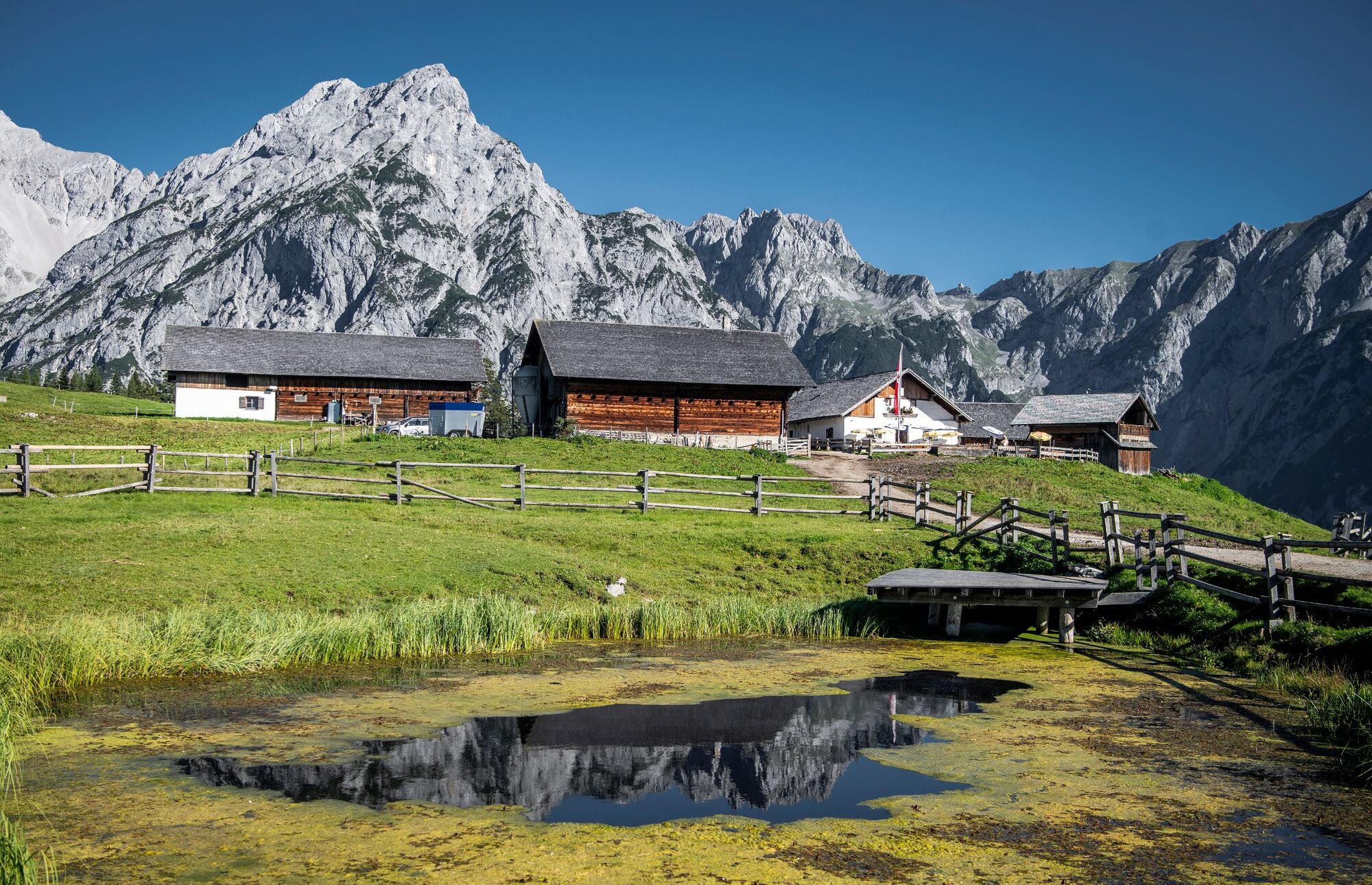
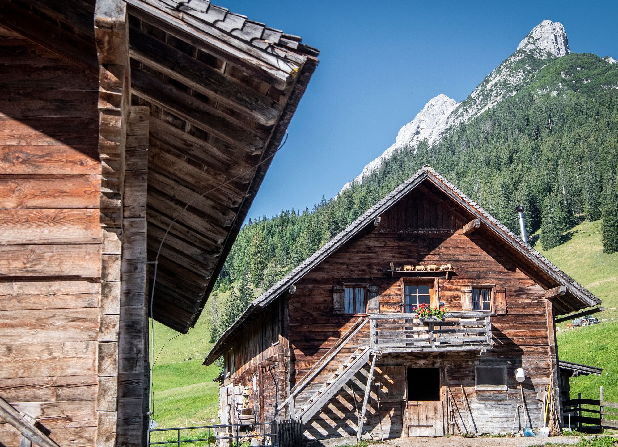
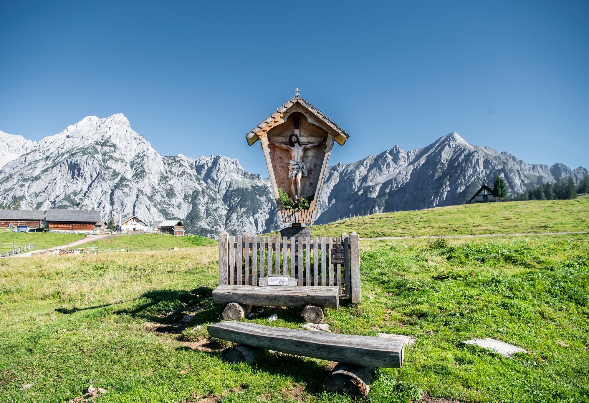
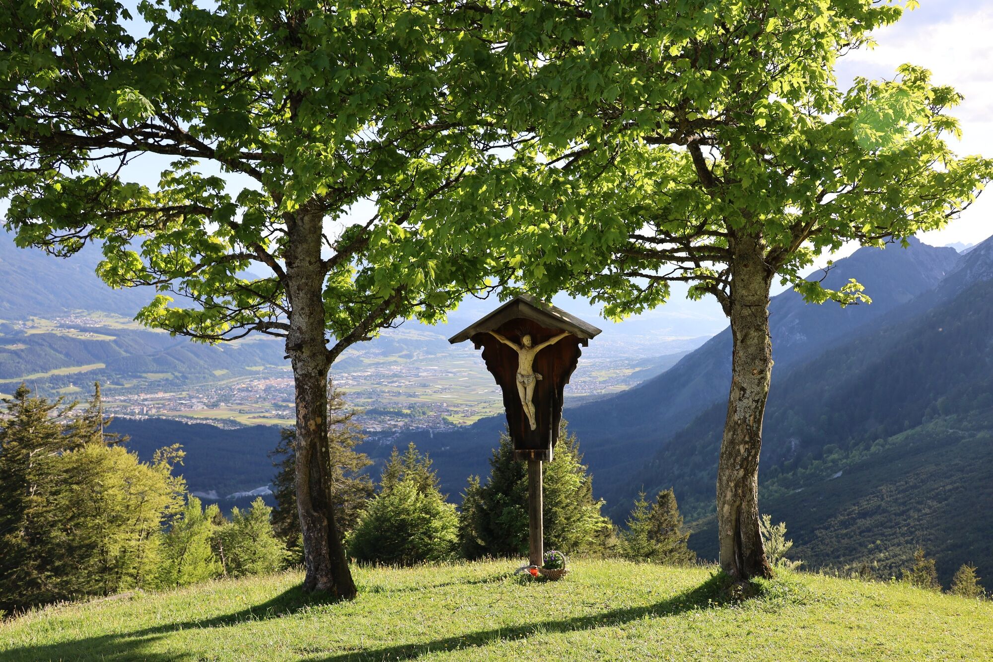
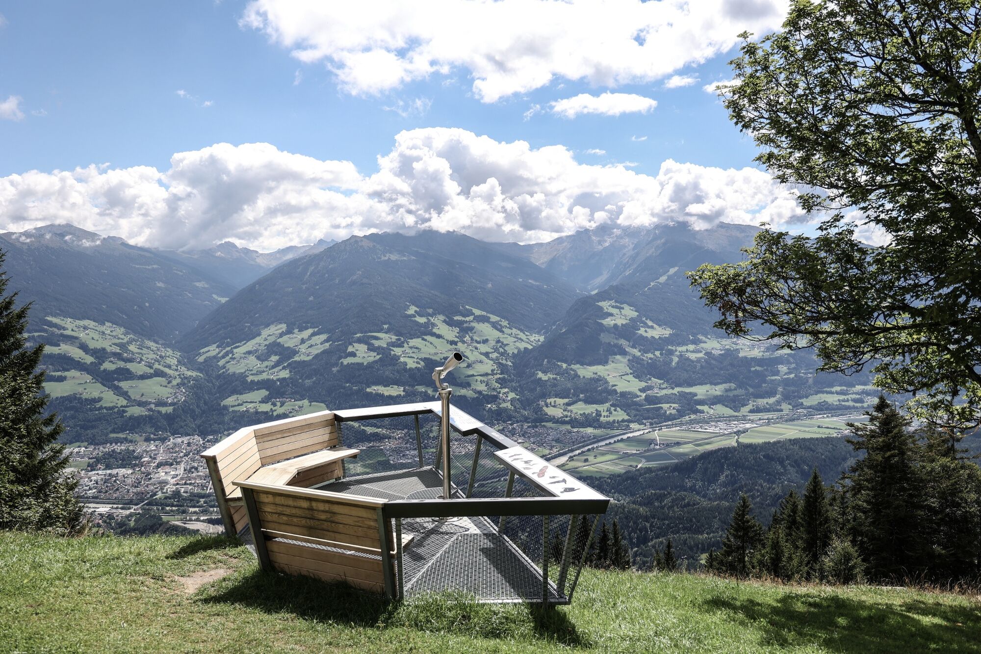
Wonderful Karwendel tour with many highlights. In addition to imposing views of the Inn valley and the mighty mountain ranges of the Tuxer Alps, flora and fauna of the Alps await you along the way. From the Gnadenwald Plateau you go to the Hinterhornalm and further to the Gandenwalder Alm Plateau. With a little luck you will see more than one golden eagle on this hike.
- Dificultad
-
medio
- Valoración
-
- Ruta
-
Martlboden2,1 kmHinterhorn Alm3,8 kmWalder Alm5,6 km
- La mejor temporada
-
enefebmarabrmayjunjulagosepoctnovdic
- Punto álgido
- 1.524 m
- Punto final
-
Parkplatz Kloster St. Martin, Gnadenwald
- Perfil alto
-


- Autor
-
La gira St. Martin - Hinterhornalm - Walderalm es utilizado por outdooractive.com proporcionado.
GPS Downloads


Información general
Punto de avituallamiento
Flora
Fauna
Vistas panorámicas
Más circuitos por las regiones
-
Ferienregion Hall - Wattens
1479
-
Gnadenwald
351


