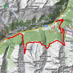
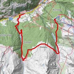
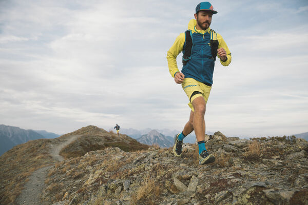
Datos del tour
13,19km
1.045
- 2.253m
1.173hm
80hm
01:19h
- Dificultad
-
medio
- Valoración
-
- Ruta
-
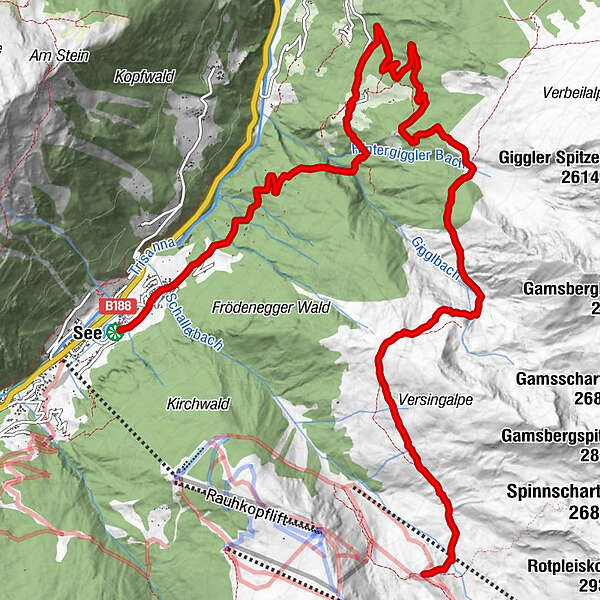
See (1.056 m)FriedhofskapellePfarrkirche Hl. Sebastian0,0 kmGande0,9 kmFrödenegg2,4 kmWaldkapelle3,6 kmGiggl4,0 kmÜblikapelle7,1 kmAscher Hütte13,1 km
- La mejor temporada
-
enefebmarabrmayjunjulagosepoctnovdic
- Punto álgido
- 2.253 m
GPS Downloads


Más circuitos por las regiones
-
Tirol West
47
-
See im Paznaun
26