- Breve descripción
-
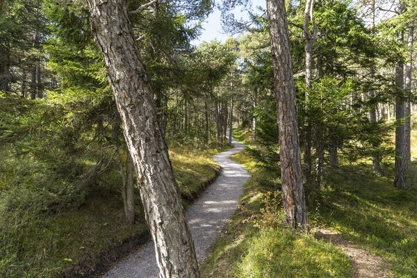
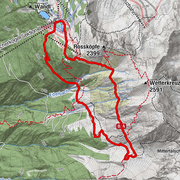
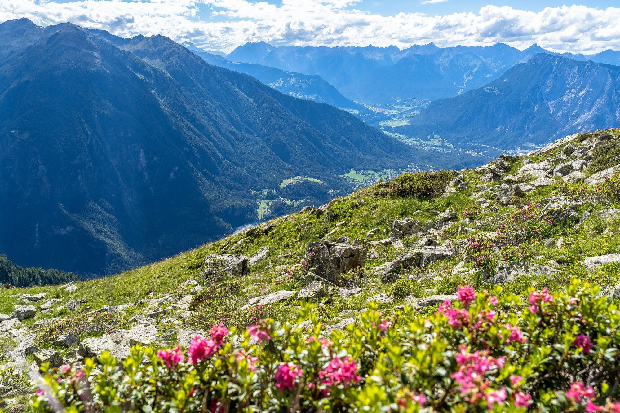
PANORAMARESTAURANT HOCHOETZ -> Bielefelder Hütte -> Alte Bielefelder Hütte -> Achergergalm -> PANORAMARESTAURANT HOCHOETZ
- Dificultad
-
medio
- Valoración
-
- Ruta
-
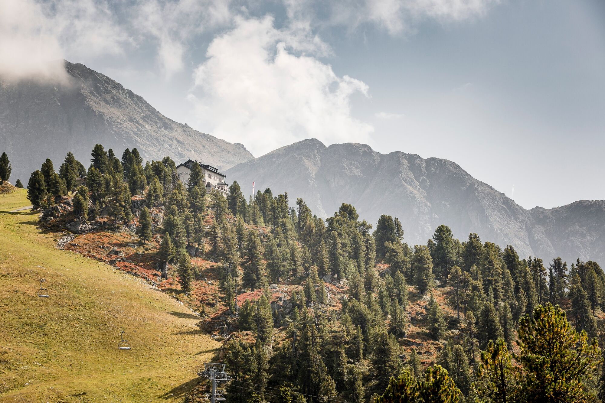
Neue Bielefelder Hütte0,5 kmAlmwirtschaft Acherberg4,6 kmPanorama-Restaurant6,1 kmAcherkogel Sektion II6,2 kmAcherkogelbahn Bergstation6,2 km
- La mejor temporada
-
enefebmarabrmayjunjulagosepoctnovdic
- Punto álgido
- 2.268 m
- Punto final
-
Panoramarestaurant Hochoetz
- Perfil alto
-


- Autor
-
La gira Trail of senses Hochoetz es utilizado por outdooractive.com proporcionado.
GPS Downloads


Información general
Punto de avituallamiento
Cultural/Histórico
Vistas panorámicas
Más circuitos por las regiones
-
Mieminger Plateau & Inntal
1686
-
Oetz
339