- Breve descripción
-
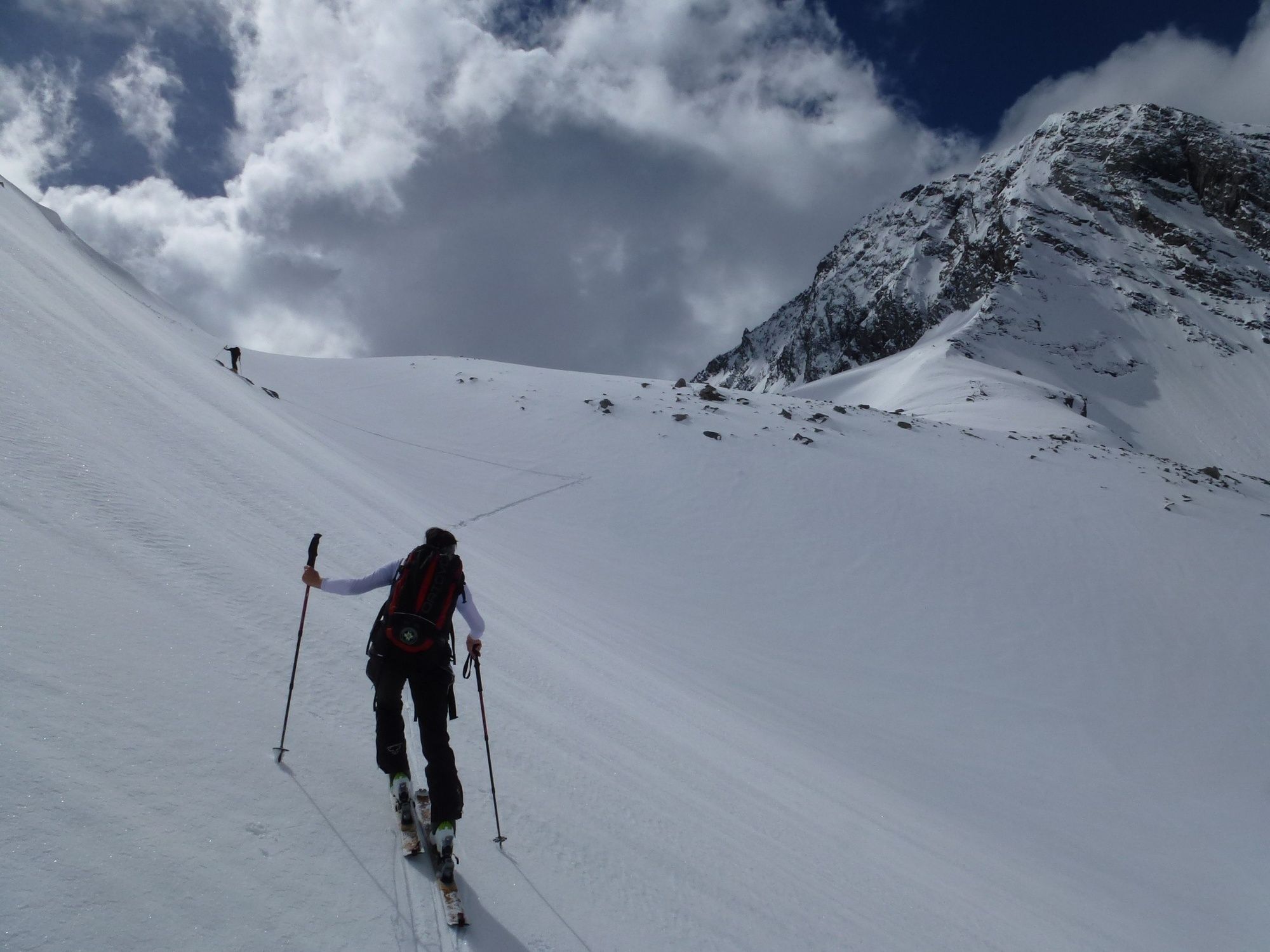
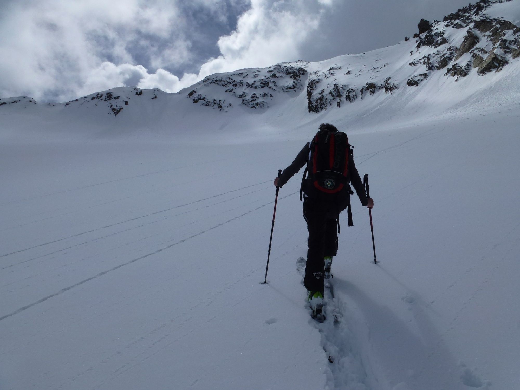
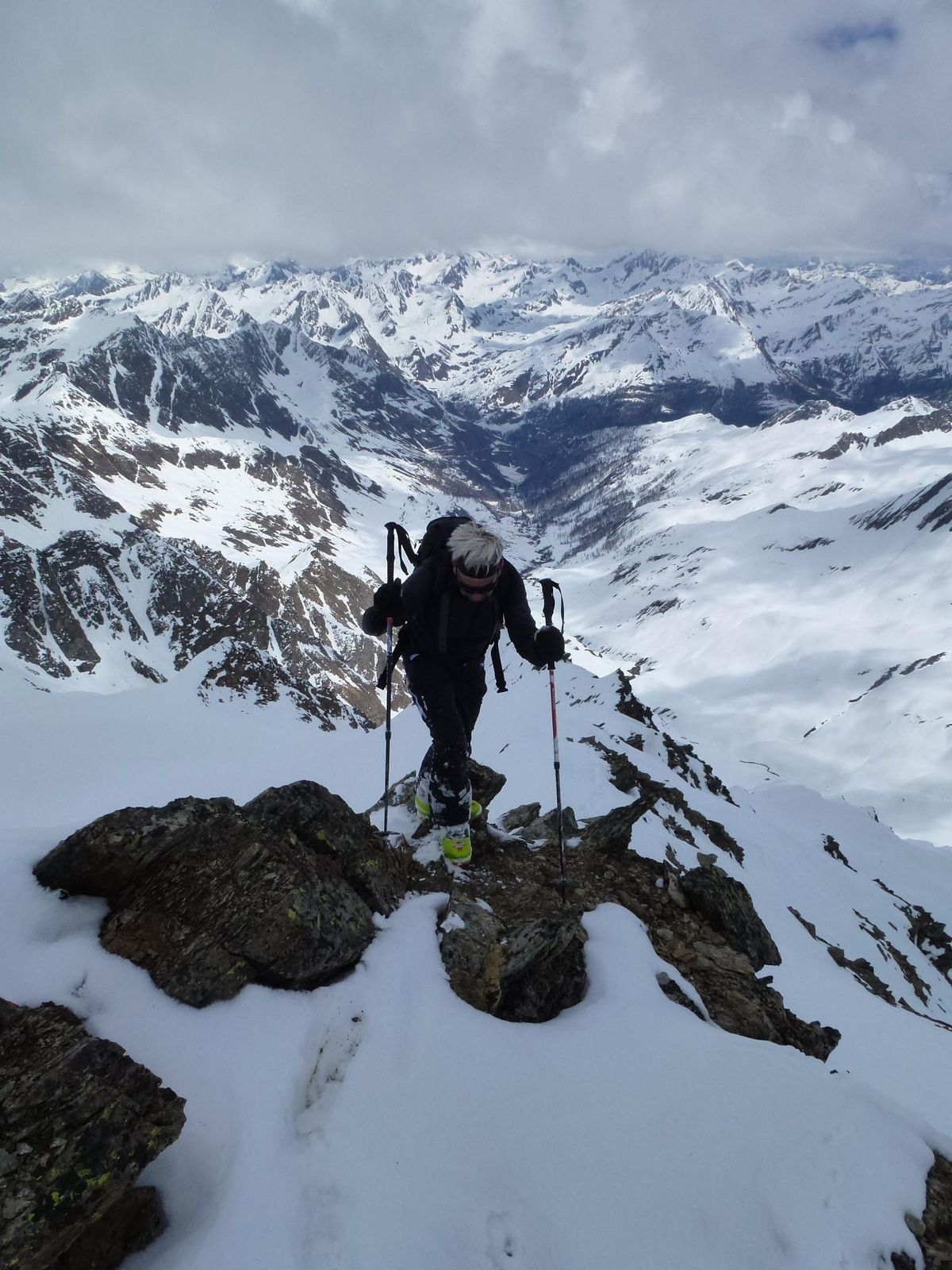
Suitable for touring beginners. By using the train you can shorten the ascent by about 450 meters.
- Dificultad
-
medio
- Valoración
-
- Ruta
-
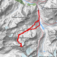
Ferwalltal3,7 kmGranatenscharte (3.176 m)6,6 kmEssener Spitze (3.200 m)6,7 kmFerwalltal9,4 km
- La mejor temporada
-
agosepoctnovdicenefebmarabrmayjunjul
- Punto álgido
- 3.179 m
- Punto final
-
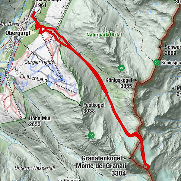
Obergurgl
- Perfil alto
-


- Autor
-
La gira Essenerspitze es utilizado por outdooractive.com proporcionado.
GPS Downloads


Más circuitos por las regiones
-
Meraner Land
91
-
Passeiertal
49
-
Obergurgl - Hochgurgl
34