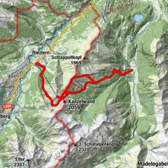
Datos del tour
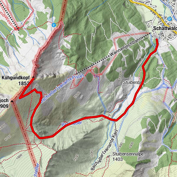
4,23km
1.102
- 1.877m
786hm
03:00h
- Dificultad
-
fácil
- Valoración
-
- Ruta
-
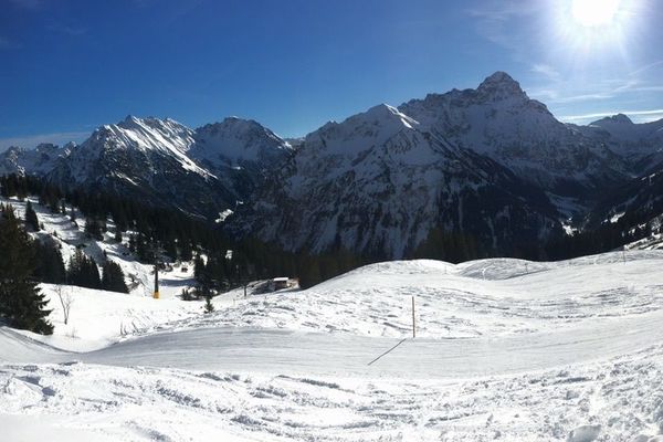
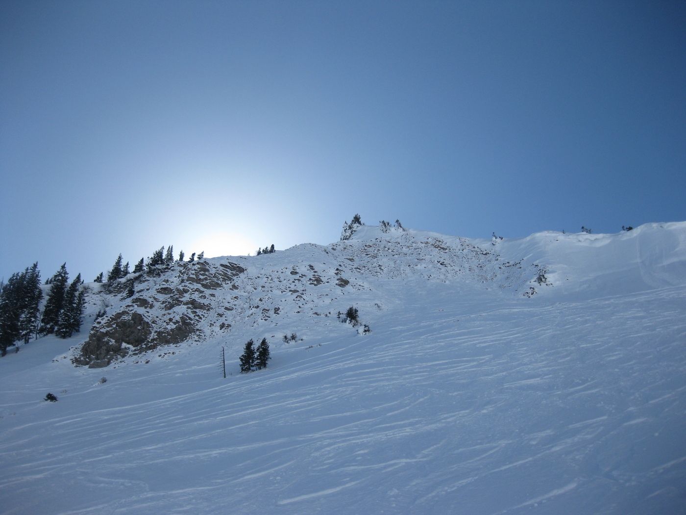
Schattwald (1.072 m)Untere Stuibenalpe1,5 kmKühgundspitze (1.890 m)3,8 km
- La mejor temporada
-
agosepoctnovdicenefebmarabrmayjunjul
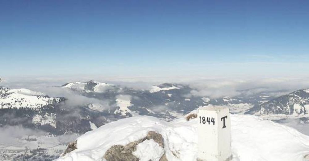
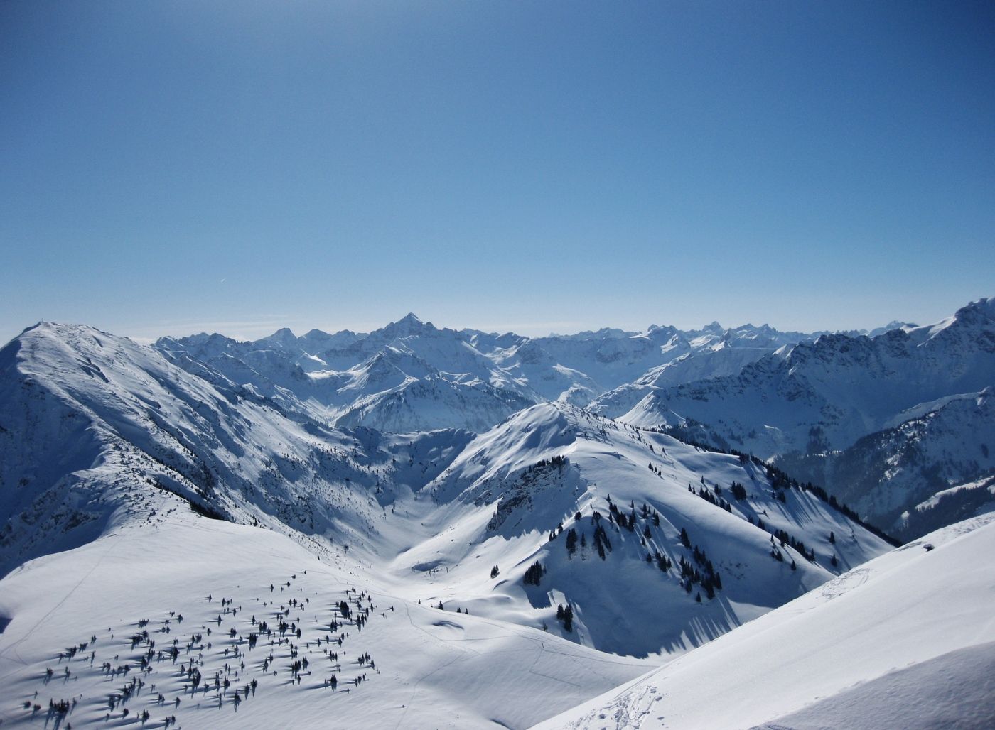
- Punto álgido
- 1.877 m
- Exposition

GPS Downloads


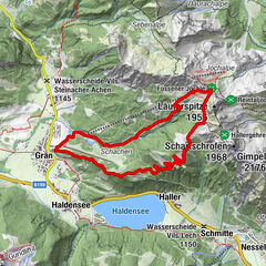
Más circuitos por las regiones
-
Allgäu
35
-
Tannheimer Tal
30
-
Schattwald - Zöblen
15