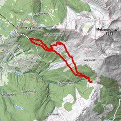
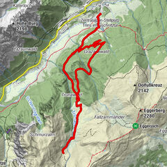
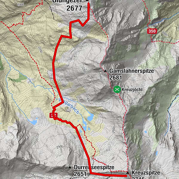
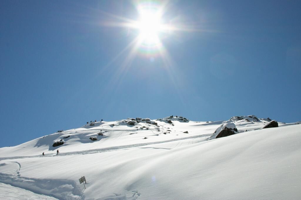
With snowshoes from the Glungezer to the Kreuzspitze

Raquetas de nieve

© Tourismusverband Region Hall-Wattens - Hall Wattens
- Breve descripción
-
Hm ↑ 600; ↓ 600 Hm, Gz 4 Std.
- Dificultad
-
difícil
- Valoración
-
- Ruta
-
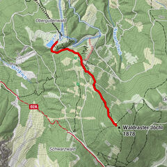
Kreuzspitze (2.746 m)3,8 km
- La mejor temporada
-
agosepoctnovdicenefebmarabrmayjunjul
- Punto álgido
- 2.693 m
- Punto final
-
Kreuzspitze
- Perfil alto
-

-

-
AutorLa gira With snowshoes from the Glungezer to the Kreuzspitze es utilizado por outdooractive.com proporcionado.
GPS Downloads
Información general
Secreto
Vistas panorámicas
Más circuitos por las regiones