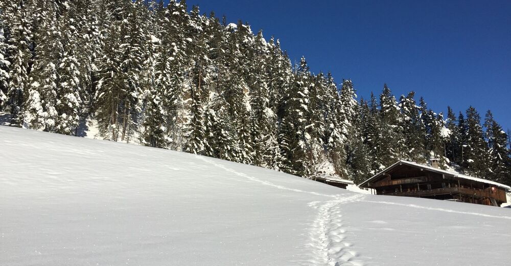
© Alpbachtal - Matthias Sedlak
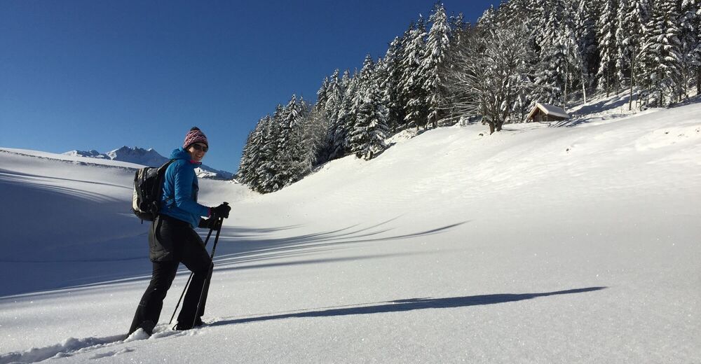
© Alpbachtal - Matthias Sedlak

© Alpbachtal Tourismus

© Alpbachtal Tourismus
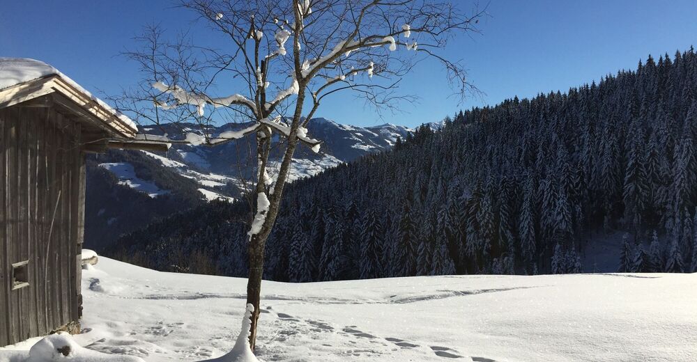
© Alpbachtal - Eva Wegscheider
© Alpbachtal - Birgit Angermair
© Alpbachtal - Birgit Angermair
© Alpbachtal - Birgit Angermair

- Breve descripción
-
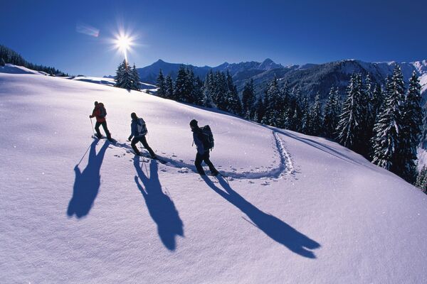
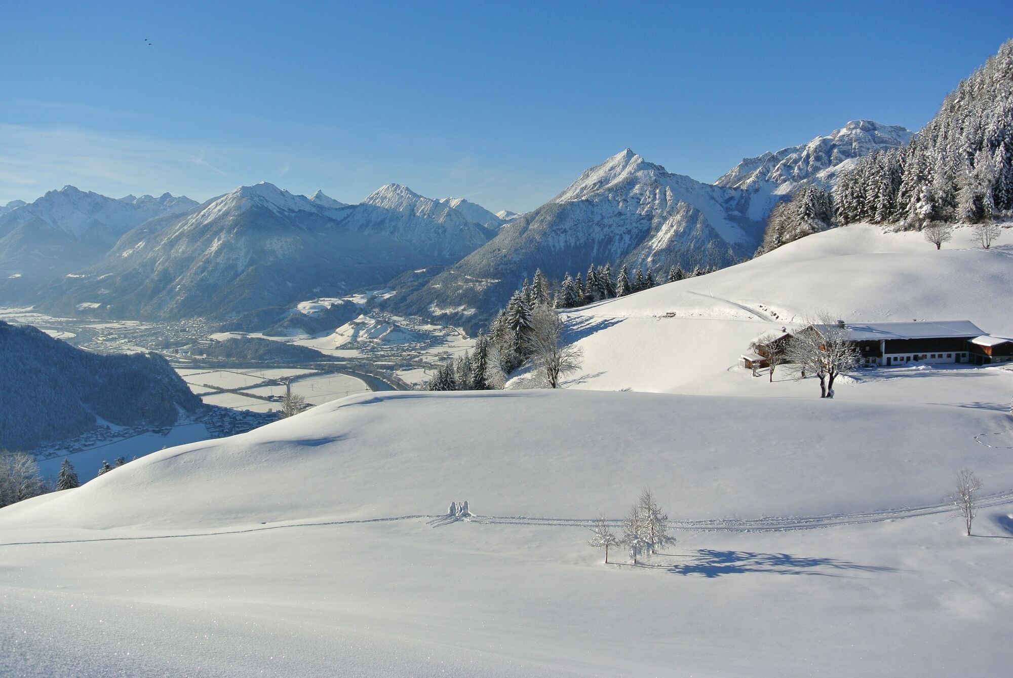
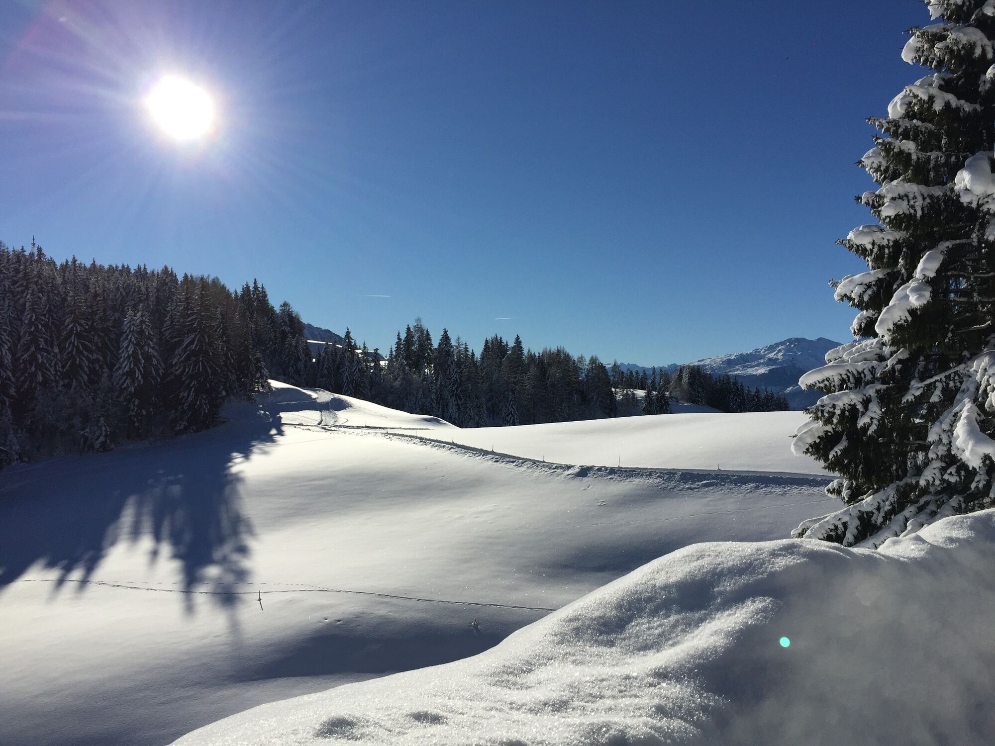
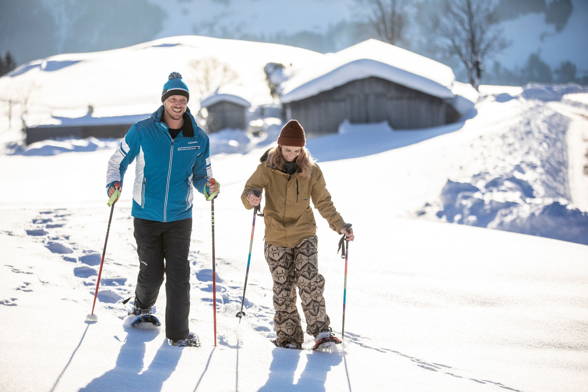
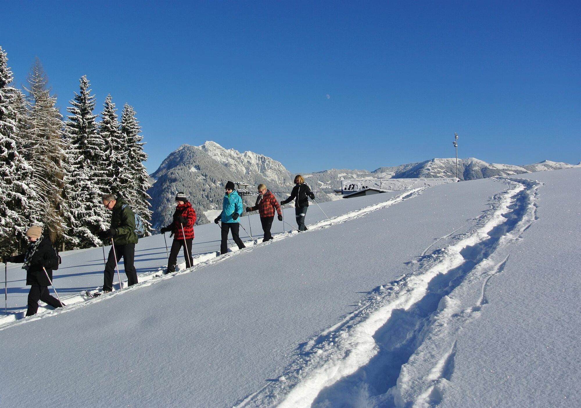
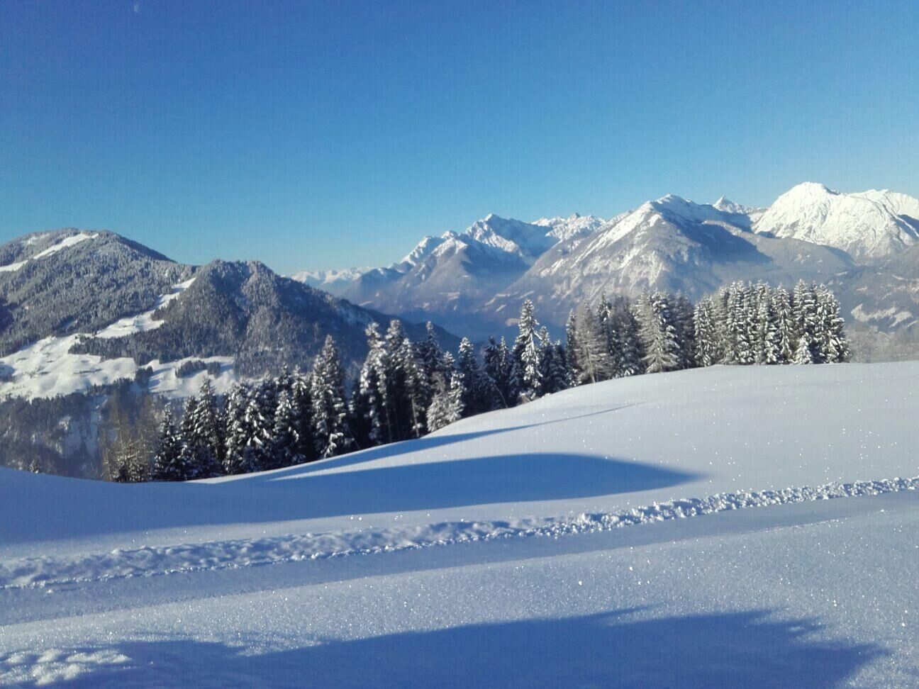
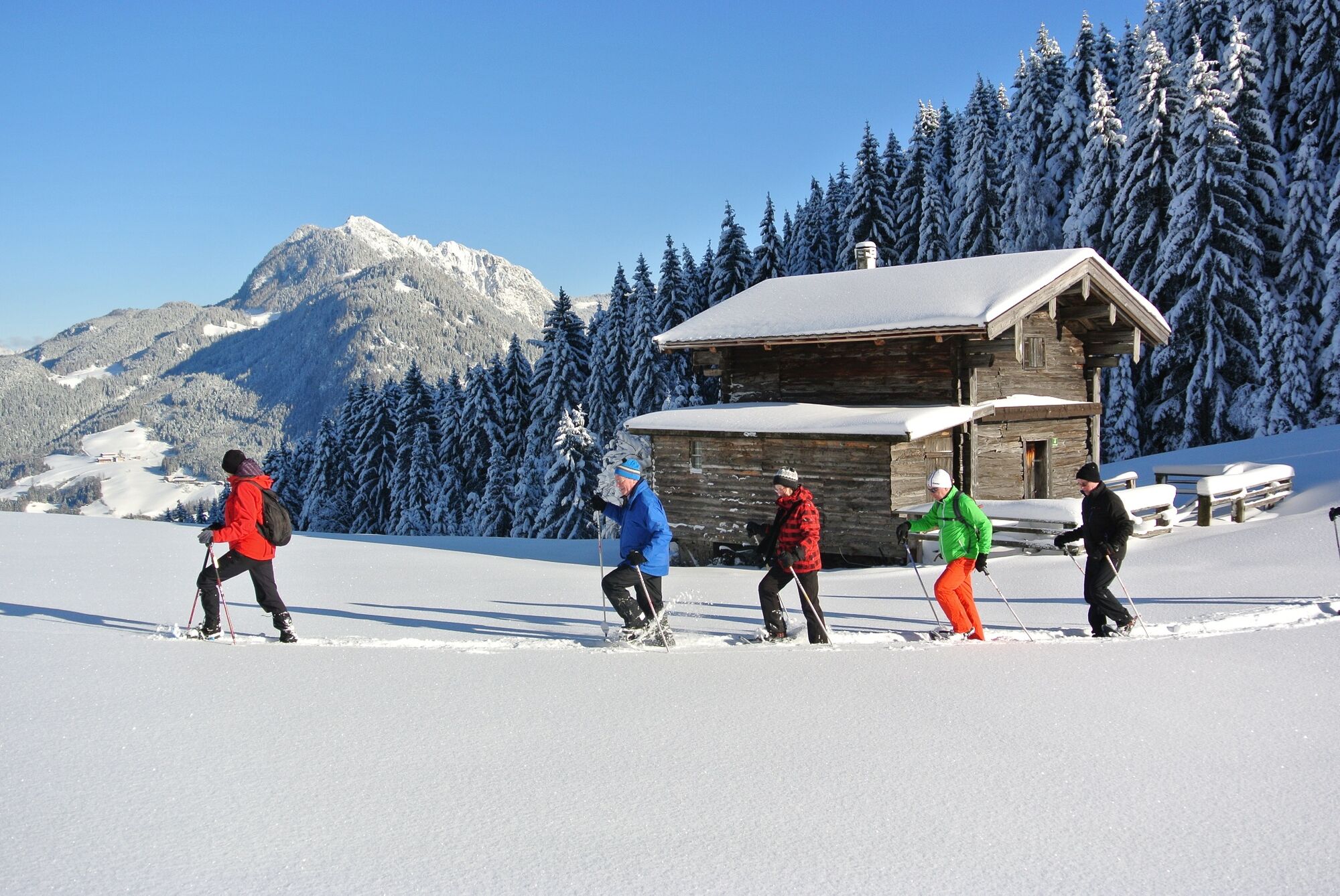
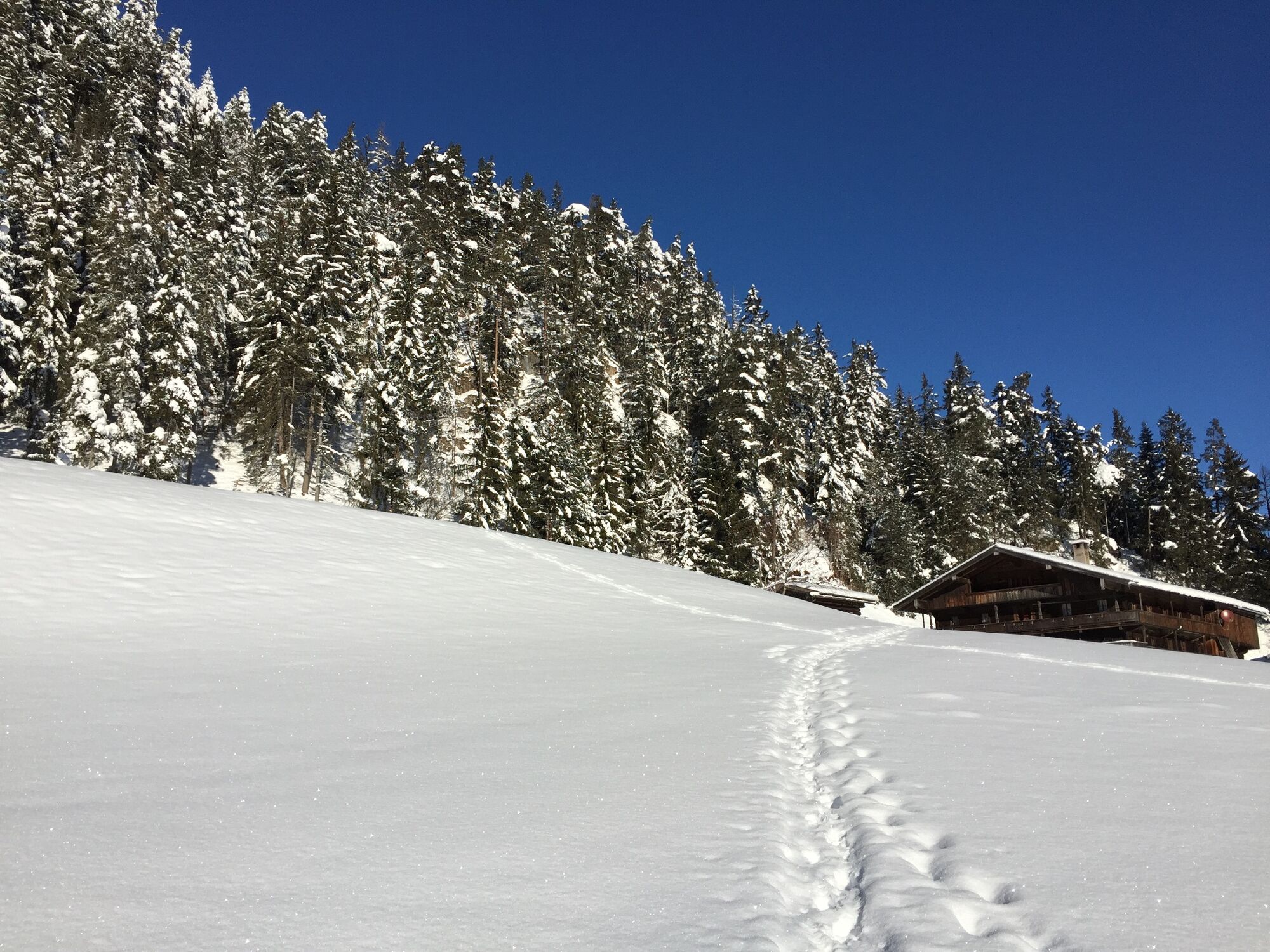
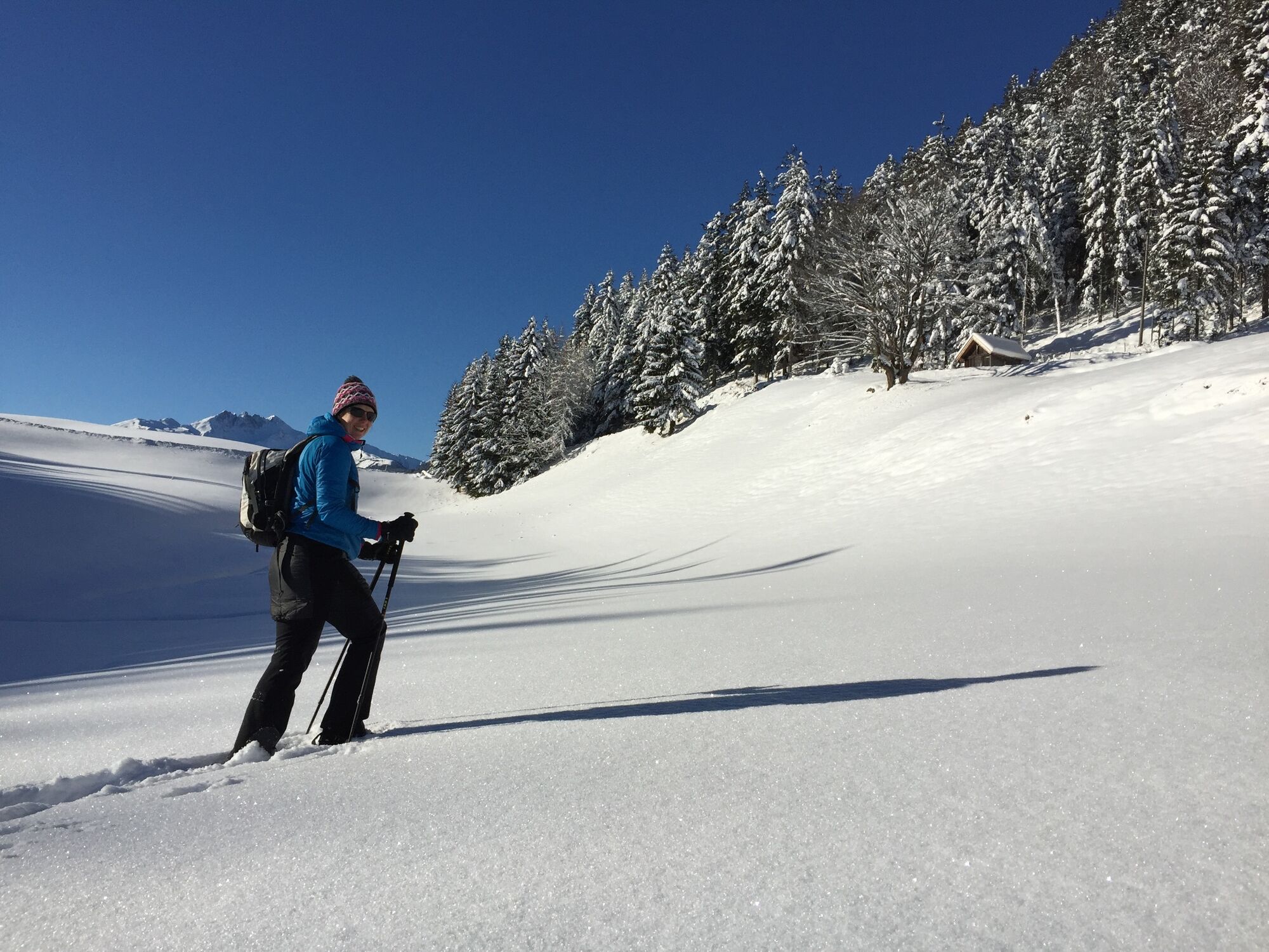
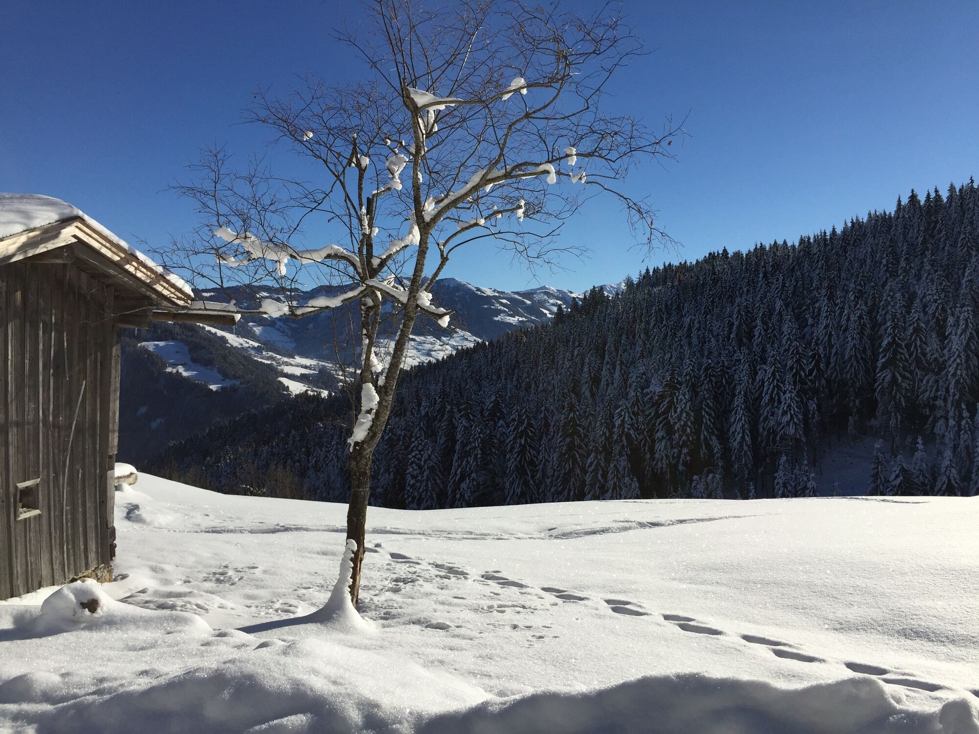
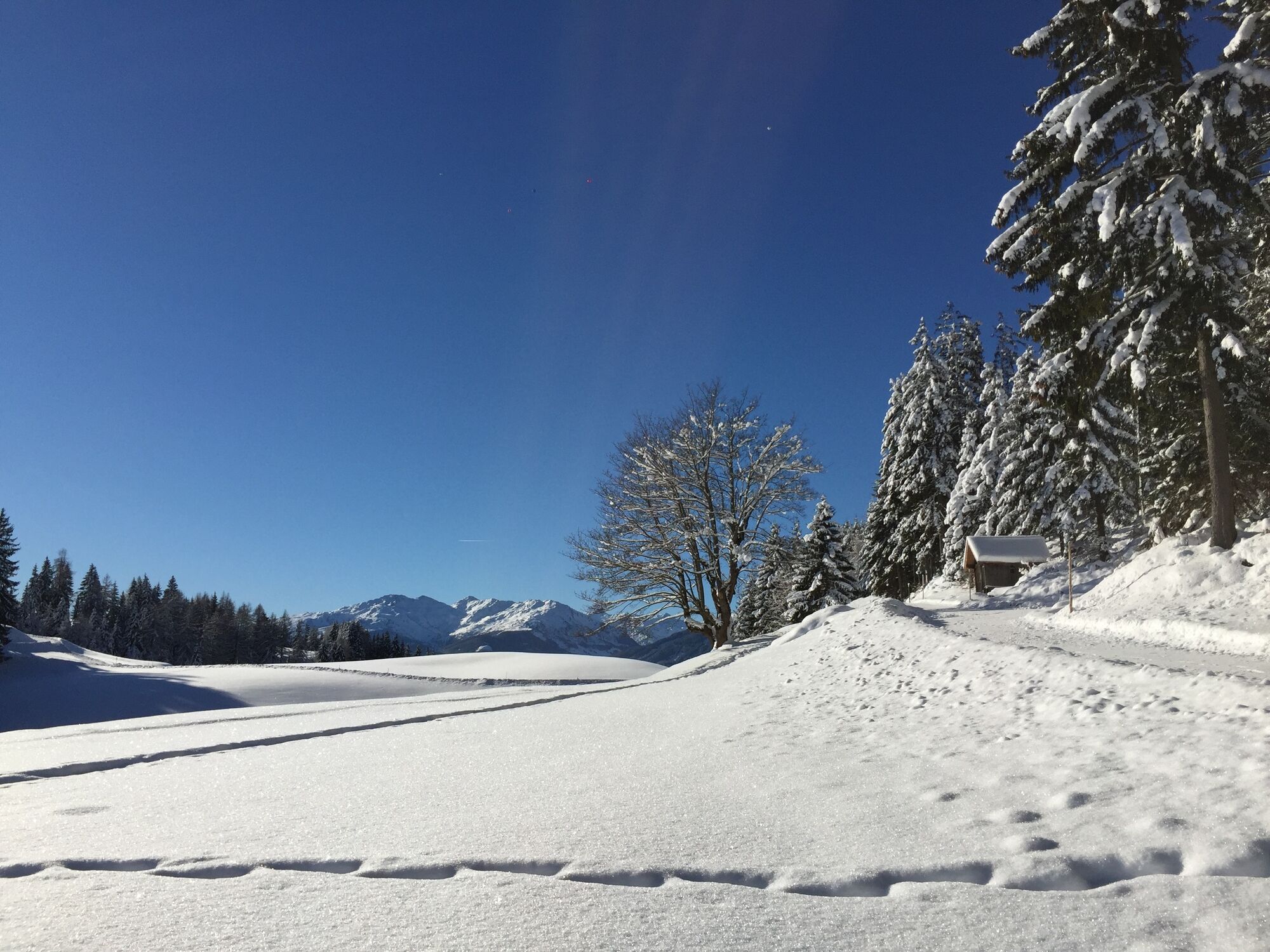
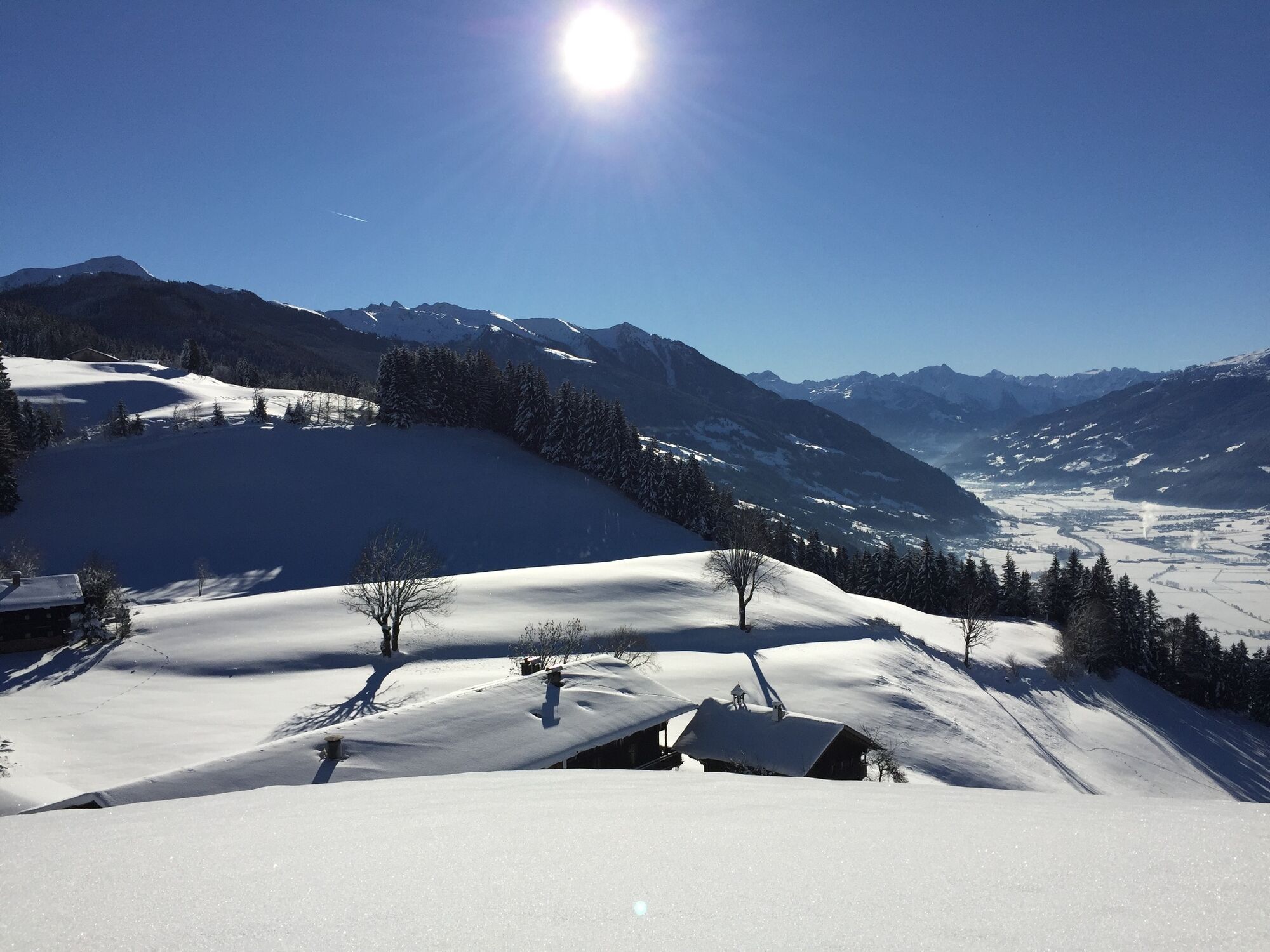
Easy snowshoe hike through idyllic woods and along a plateau at the foot of the Reither Kogel
- Dificultad
-
medio
- Valoración
-
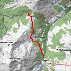
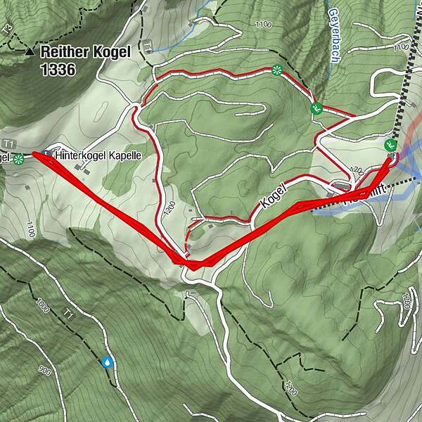
- Ruta
- La mejor temporada
-
agosepoctnovdicenefebmarabrmayjunjul
- Punto álgido
- 1.238 m
- Punto final
-
Reitherkogelbahn top station
- Perfil alto
-


- Autor
-
La gira Reither Kogel es utilizado por outdooractive.com proporcionado.
GPS Downloads


Información general
Vistas panorámicas
Más circuitos por las regiones
-
Alpbachtal
35
-
Bruck am Ziller
17