© Lechtal Tourismus
© Lechtal Tourismus
Datos del tour
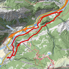
22,37km
938
- 1.004m
160hm
159hm
00:45h
- Breve descripción
-
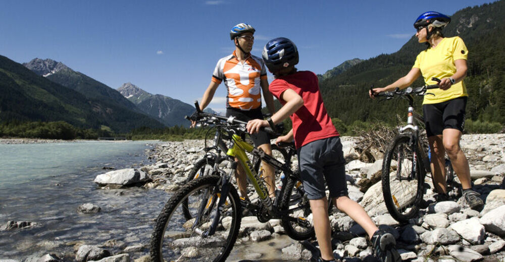
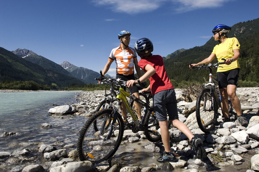
Sehr schöne Familien-Runde
- Dificultad
-
fácil
- Valoración
-
- Punto de salida
-
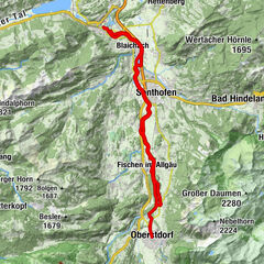
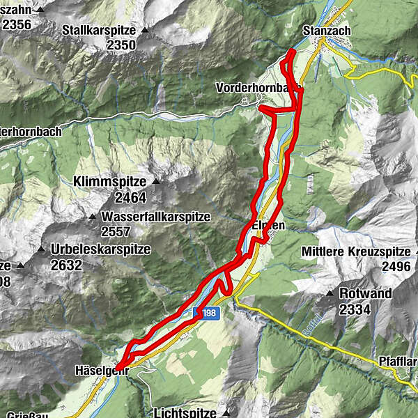
Vorderhornbach
- Ruta
-
Vorderhornbach (973 m)0,3 kmFilialkirche Martinau1,4 kmGasthof Klimm4,1 kmLechzeit4,2 kmHäselgehr (1.006 m)8,8 kmPfarrkirche St. Martin8,8 kmFeldkapelle14,1 kmKaiserkrone14,9 kmElmen (976 m)15,1 kmHl. drei Könige15,3 km
- La mejor temporada
-
enefebmarabrmayjunjulagosepoctnovdic
- Punto álgido
- 1.004 m
- Punto final
-
Häselgehr
- Descanso/Avituallamiento
-
Restaurant Lechzeit
Häselgehr-GH Sonne und GH Lechtaler - Material cartográfico
-
Lechtaler Radkarte, erhältlich in allen TVB Büros

GPS Downloads


Calzadas
Asfalto
Gravilla
Bosque
Caminos de montaña
Rutas individuales
Trial
Tráfico