© Tourismusverband Region Hall-Wattens - Hall Wattens

© Tourismusverband Region Hall-Wattens - Hall Wattens
- Breve descripción
-
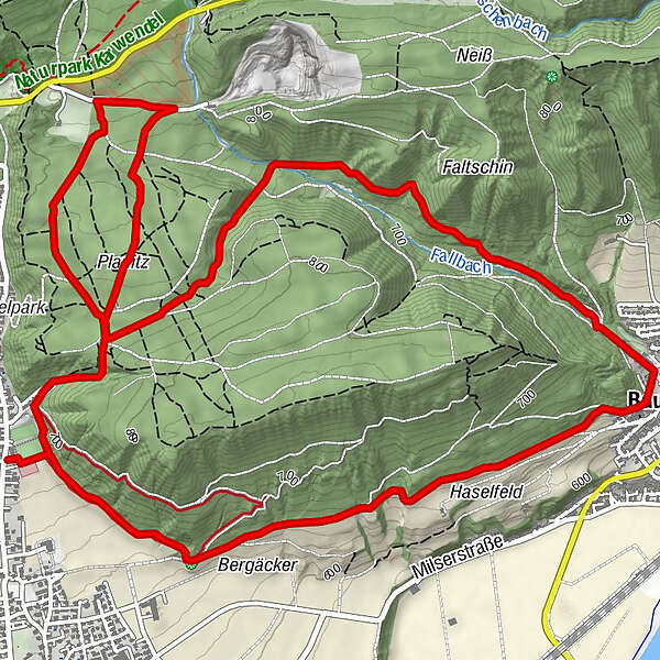
The initially nice and even hiking trail heading toward Baumkirchen connects the two starting points of Mils and Bogner Aste via a strong uphill gradient in the Baumkirchental Valley
- Dificultad
-
medio
- Valoración
-
- Ruta
-
Baumkirchen (593 m)2,9 kmBaumkirchner Tal4,5 kmObere Neissquellen4,6 kmGrüntal5,2 km
- La mejor temporada
-
enefebmarabrmayjunjulagosepoctnovdic
- Punto álgido
- 807 m
- Punto final
-
Milser Sportplatz
- Perfil alto
-


- Autor
-
La gira Baumkirchner forest circuit es utilizado por outdooractive.com proporcionado.