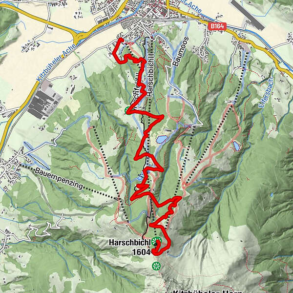
St. Johann in Tirol: Mountainbikestrecke Harschbichl

Mountainbike

© MirjaGeh.com - www.MirjaGeh.com

© MirjaGeh.com - www.MirjaGeh.com
Datos del tour
9,2km
663
- 1.584m
917hm
02:00h
- Breve descripción
-
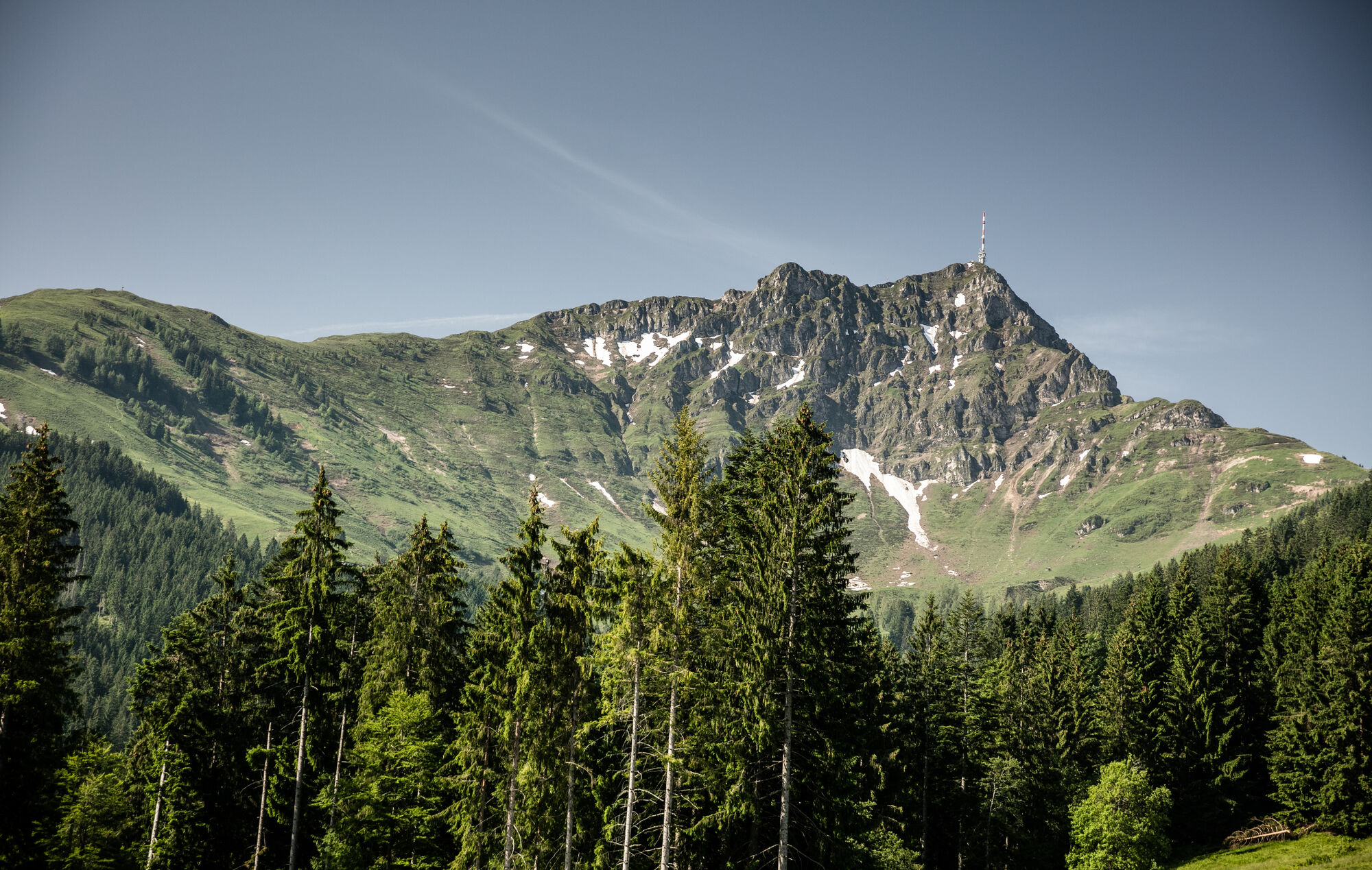
Anspruchsvolle Tour belohnt mit Rundumblick ins Tal
- Valoración
-
- Punto de salida
-
Apfeldorf St. Johann in Tirol
- Ruta
-
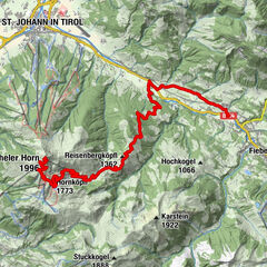
Apfeldorf0,3 kmUnterschwaigkopf1,8 kmBerglehen2,0 kmHochfeld2,6 kmKoasaburg5,1 kmAlmen am Kitzbüheler Horn5,3 kmHarschbichl (1.604 m)9,1 km
- La mejor temporada
-
enefebmarabrmayjunjulagosepoctnovdic
- Punto álgido
- 1.584 m
- Descanso/Avituallamiento
-
Hochfeldalm, Hirschberg, Angerer Alm, Harschbichlalm
- Material cartográfico
-
In allen Infobüros: St. Johann in Tirol - Oberndorf - Kirchdorf

- Teléfono de información
-
Tourismusverband Kitzbüheler Alpen St. Johann in Tirol +43 (0)5352 63335-0
- Link
- https://www.kitzbueheler-alpen.com/de/st-johann
- Fuente
- Tourismusverband Kitzbüheler Alpen St. Johann in Tirol
GPS Downloads


Calzadas
Asfalto
Gravilla
Bosque
Caminos de montaña
Rutas individuales
Trial
Tráfico
Más circuitos por las regiones