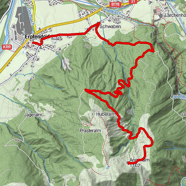
Datos del tour
6,28km
631
- 1.101m
474hm
02:30h
- Breve descripción
-
Etwas anspruchsvoll - aber schön unter schattigem Laub hinaufbiken
- Dificultad
-
medio
- Valoración
-
- Punto de salida
-
Erpfendorf Zentrum
- Ruta
-
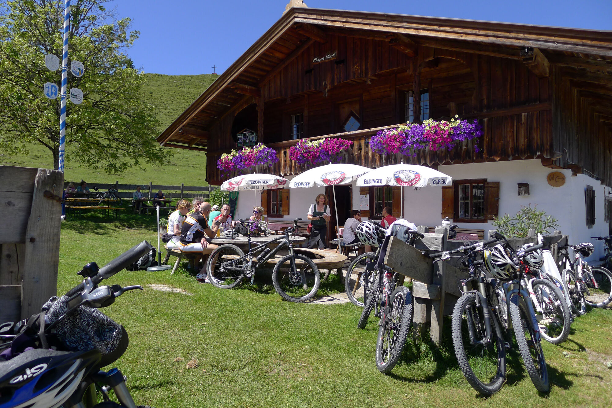
Erpfendorf0,0 kmFilialkirche Erpfendorf0,1 kmHubertuskapelle2,0 kmAngerlalm6,2 km
- La mejor temporada
-
enefebmarabrmayjunjulagosepoctnovdic
- Punto álgido
- 1.101 m
- Descanso/Avituallamiento
-
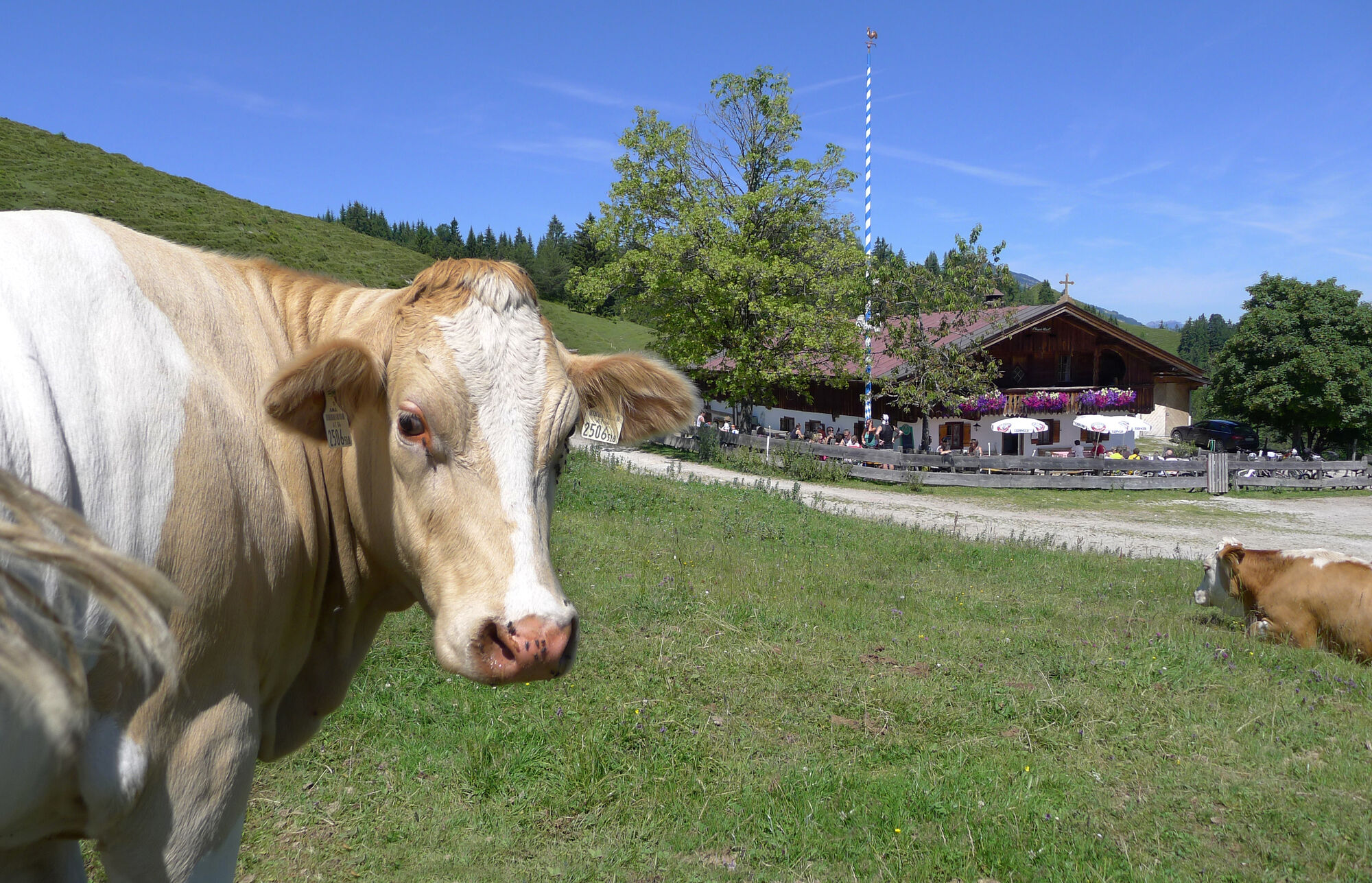
Angerlalm, bzw. bei Variante Huberalm
- Material cartográfico
-
In allen Infobüros der Kitzbüheler Alpen St. Johann in Tirol - Oberndorf - Kirchdorf
- Teléfono de información
-
Tourismusverband Kitzbüheler Alpen St. Johann in Tirol +43 (0)5352 63335-0
- Link
- https://www.kitzbueheler-alpen.com/de/st-johann
- Fuente
- Tourismusverband Kitzbüheler Alpen St. Johann in Tirol
GPS Downloads


Calzadas
Asfalto
Gravilla
Bosque
Caminos de montaña
Rutas individuales
Trial
Tráfico
Más circuitos por las regiones