© Jörg

© Jörg

© Jörg

© Jörg

© Jörg

© Jörg

© Jörg

© Jörg

© Jörg

Datos del tour
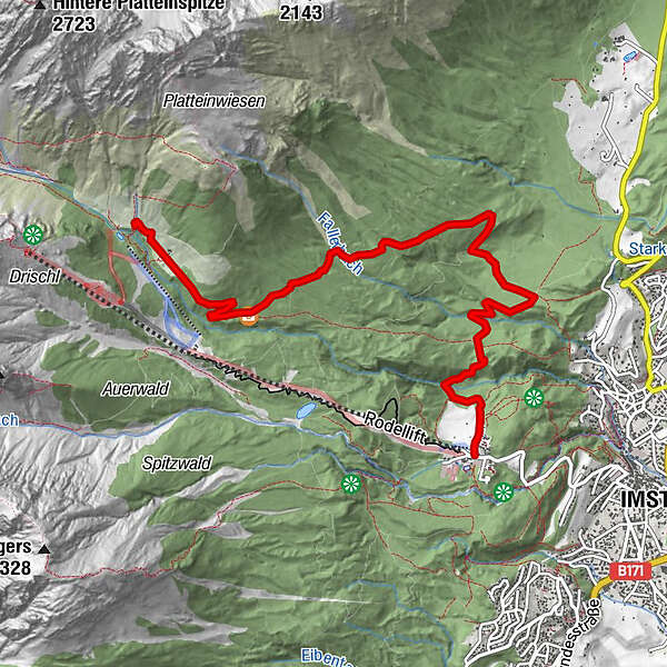
7,35km
1.026
- 1.625m
642hm
82hm
02:00h
- Breve descripción
-
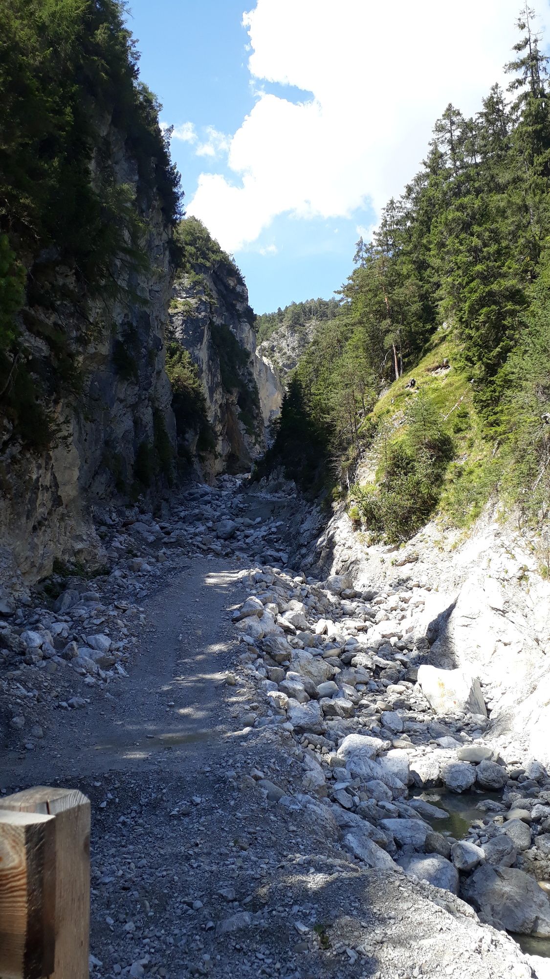
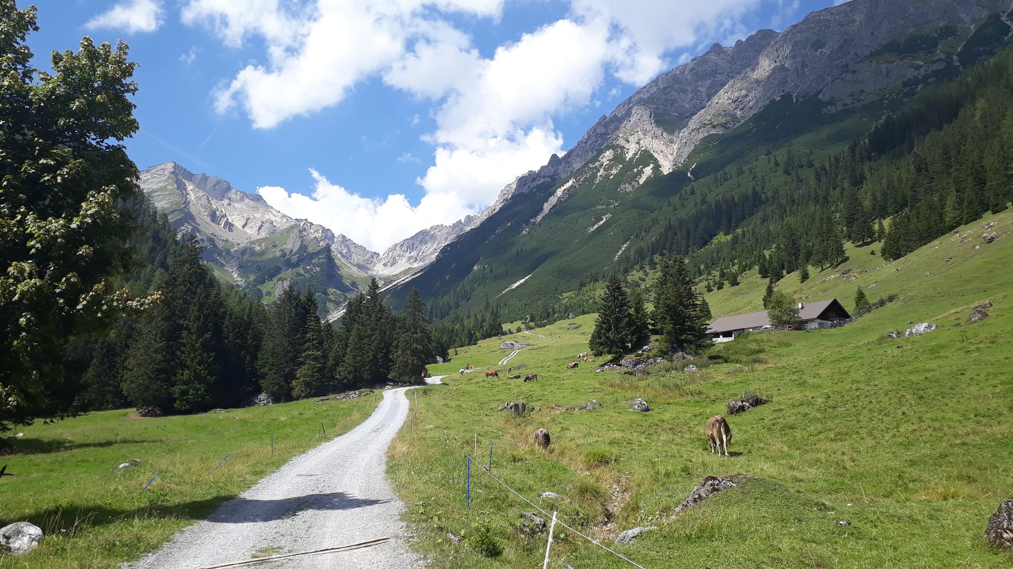
Eine tolle Tour, wenig frequentiert
- Dificultad
-
medio
- Valoración
-
- Punto de salida
-
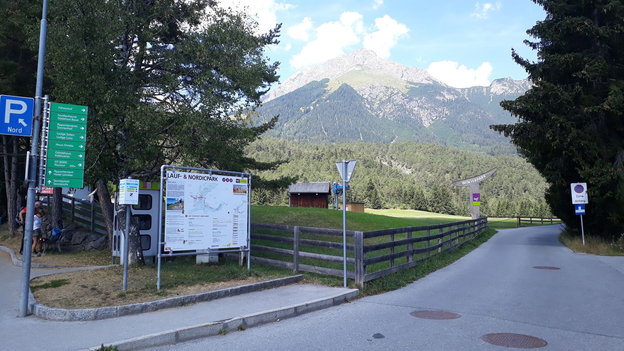
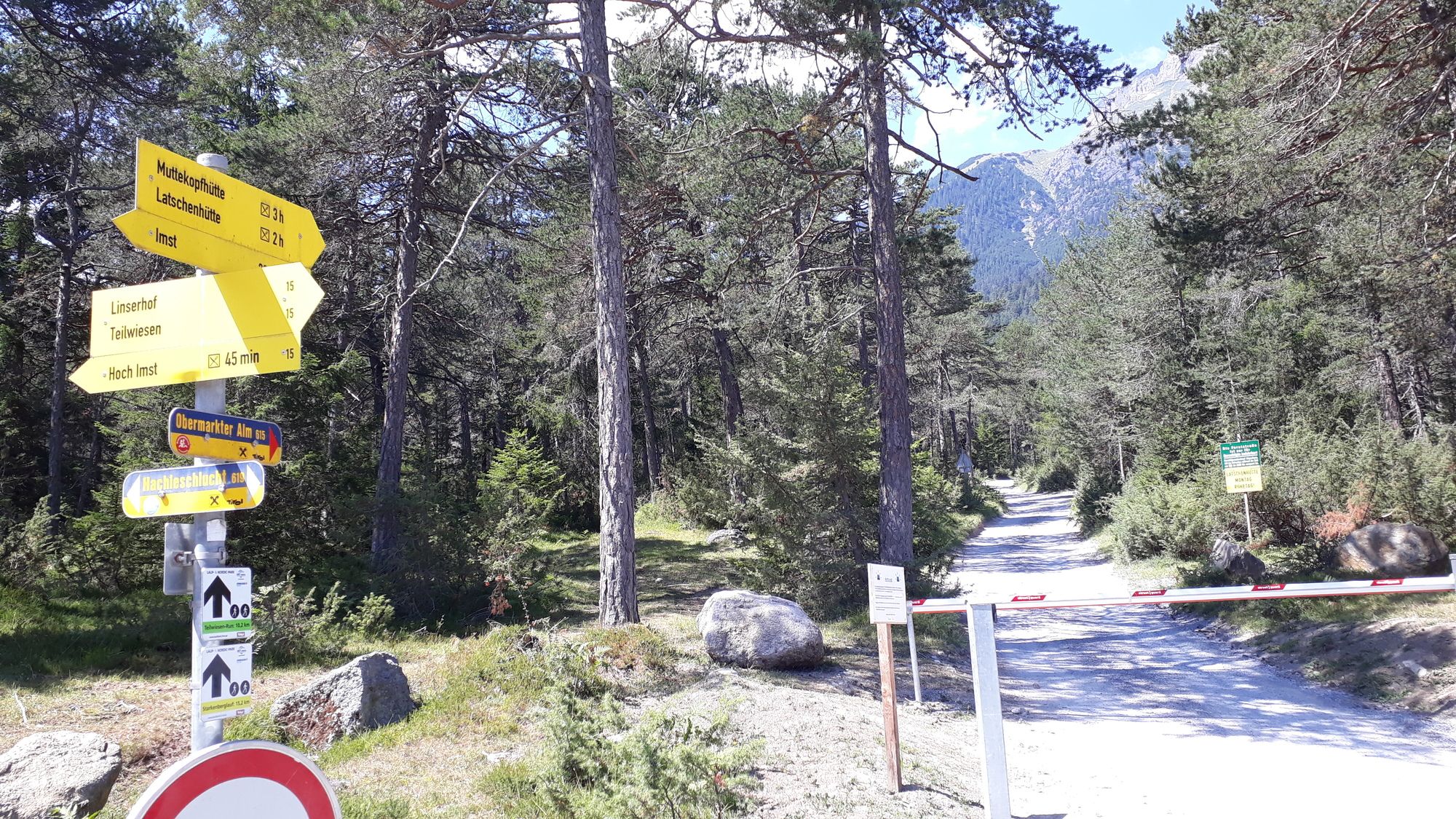
Parkplatz Lift Hoch Imst
- Ruta
-
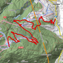
SonneckHochimstImst (827 m)Latschenhütte (1.623 m)7,3 km
- La mejor temporada
-
enefebmarabrmayjunjulagosepoctnovdic
- Punto álgido
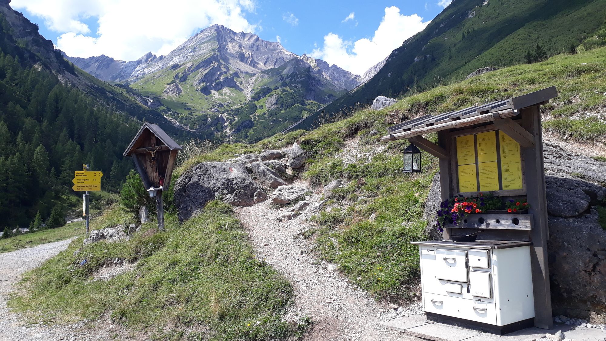
- Latschenhütte (1.625 m)
- Punto final
-
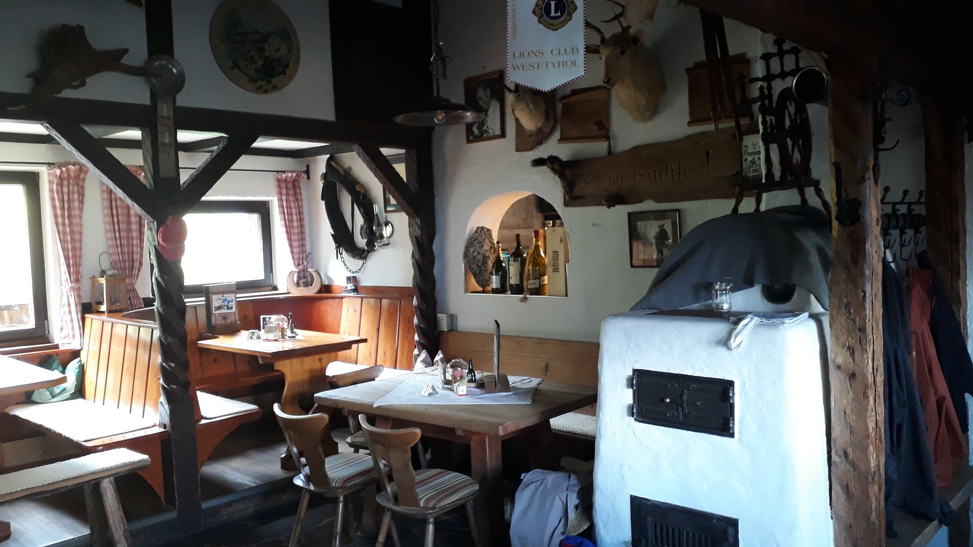
Latschenhütte
- Descanso/Avituallamiento
-
Untermarkter Alm
- Material cartográfico
-
freytag&berndt WK 252


- Teléfono de información
-
+43(664)9859424 · Tel.: +43(5412)65413
- Link
- https://www.facebook.com/EMountainbikeHuettenga...
- Fuente
- Joerg
GPS Downloads


Calzadas
Asfalto
(5)
Gravilla
Bosque
Caminos de montaña
Rutas individuales
Trial
Tráfico
Más circuitos por las regiones
-
Outdoorregion Imst
273
-
Imst
68