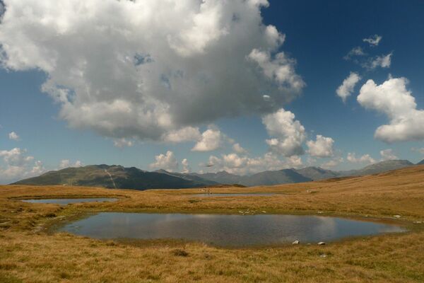
Porzehütte/Tilliacher Joch am Karnischen Kamm

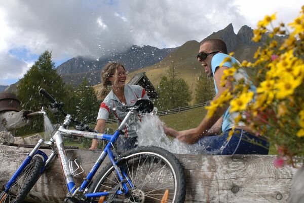
Mountainbike

© Hansjörg Schneider

© Hansjörg Schneider

© Hansjörg Schneider

© Hansjörg Schneider

© Hansjjörg Schneider

© Hansjörg Schneider
Datos del tour
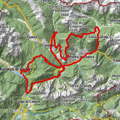
8,99km
1.345
- 1.939m
681hm
681hm
02:30h
- Breve descripción
-
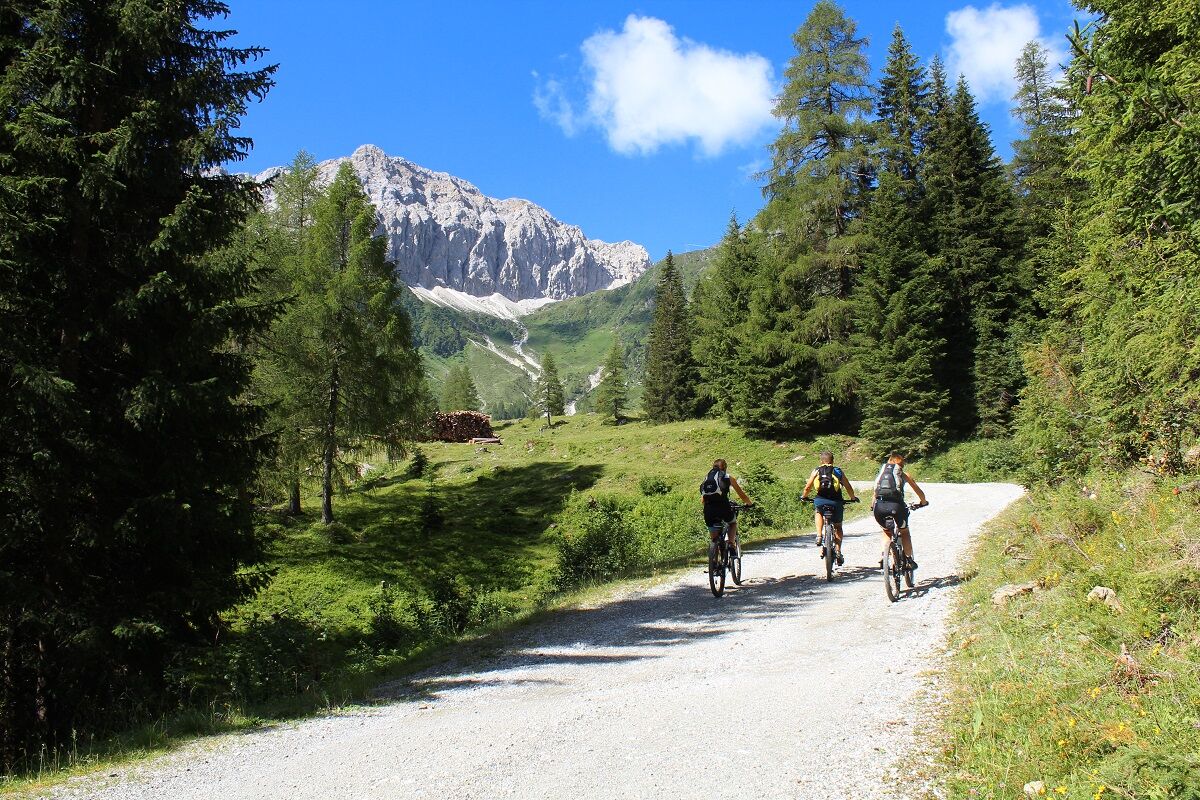
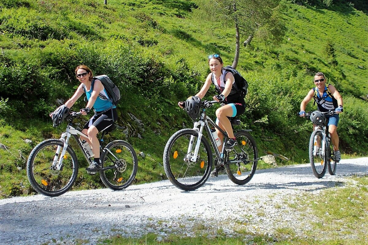
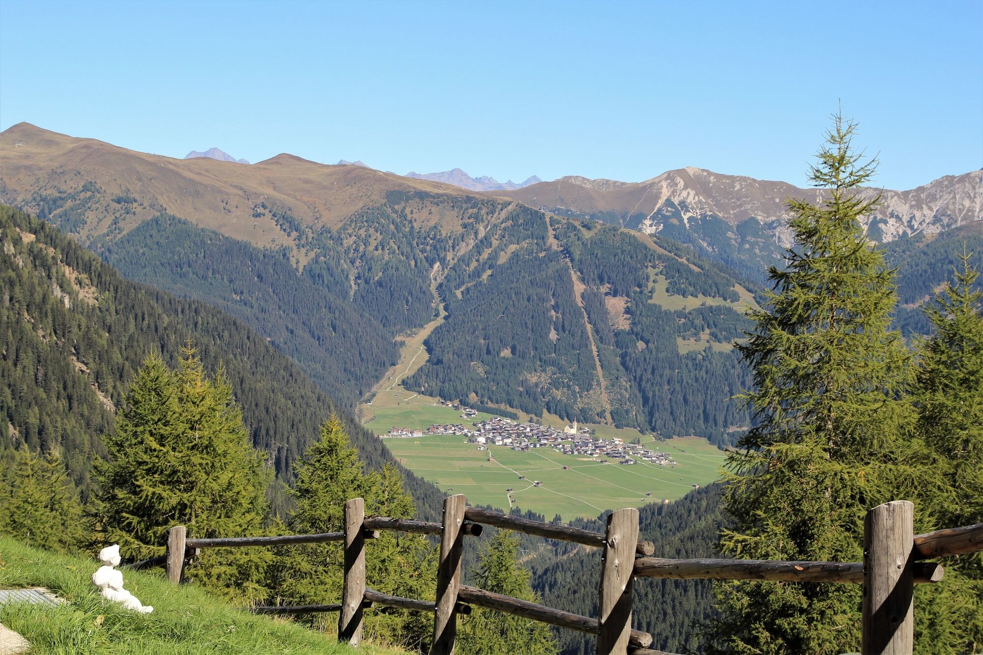
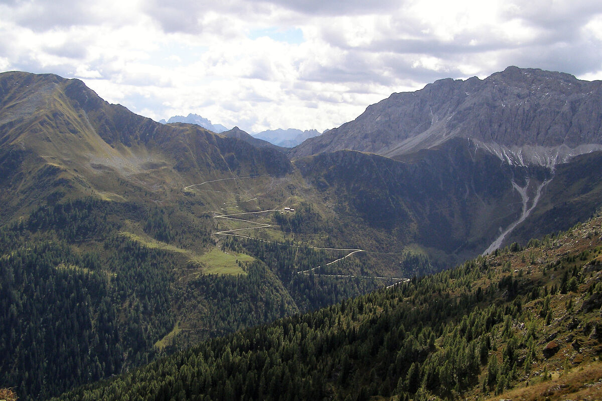
Schöne, mittelschwere MTB-Tour durch das Dorfertal (Tillacher Tal) hinauf zur Porzehütte und weiter zum Tilliacher Joch (Staatsgrenze zu Italien).
- Dificultad
-
medio
- Valoración
-
- Punto de salida
-
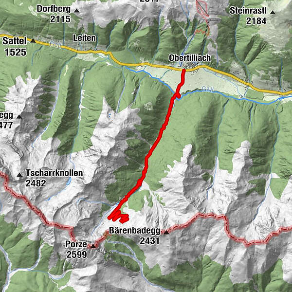
Obertilliach/Dorf
- Ruta
-
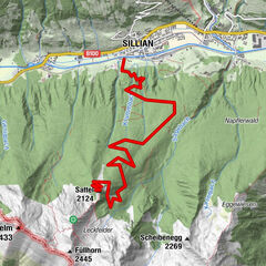
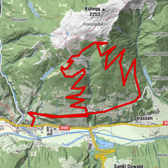
RodarmObertilliachPorzehütte9,0 km
- La mejor temporada
-
enefebmarabrmayjunjulagosepoctnovdic
- Punto álgido
- 1.939 m
- Descanso/Avituallamiento
-
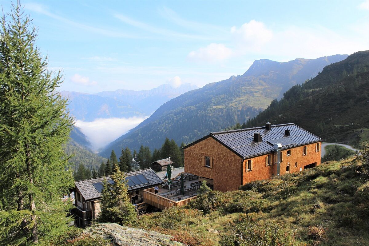
Porzehütte (Schutzhütte des ÖAV) mit herrlichem Blick auf das sonnige Haufendorf Obertilliach. Bewirtschaftet wird die Hütte von Mitte Juni bis Ende September.
- Material cartográfico
-
Wanderkarte Hochpustertal/Verlag Mayr, Kompass-WK Lienzer Dolomiten/Lesachtal

GPS Downloads


Calzadas
Asfalto
(1)
Gravilla
(9,2)
Bosque
Caminos de montaña
Rutas individuales
Trial
Tráfico
Más circuitos por las regiones