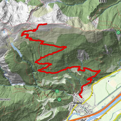
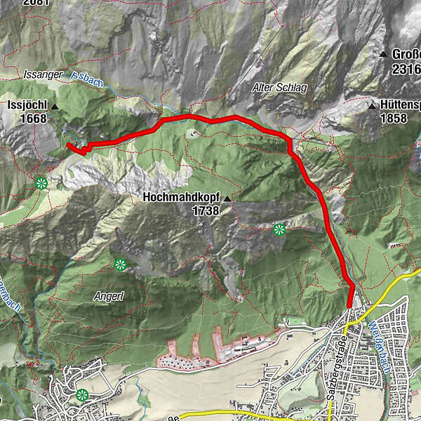
Halltal - Herrenhäuser (mehr unter: http://www.hall-wattens.at/de/moutainbiken-tour-herrenhaeuse.html )

Mountainbike
Datos del tour
5,34km
771
- 1.518m
728hm
01:30h
- Breve descripción
-
Tour auf Asphalt stets ansteigend durch den Naturpark Karwendel
- Valoración
-
- Punto de salida
-
"Hackl" - Eingang Halltal
- Ruta
-
Bergerkapelle0,7 kmBettelwurfeck2,1 kmJakobibründlquelle2,2 kmSonnenbrücke2,7 kmRuppertikapelle5,2 km
- Punto álgido
- 1.518 m
- Descanso/Avituallamiento
-
Alpengasthaus St. Magdalena
- Material cartográfico
-
Tourismusverband Region Hall-Wattens
www.hall-wattens.at/de/prospektbestel...

GPS Downloads


Calzadas
Asfalto
Gravilla
Bosque
Caminos de montaña
Rutas individuales
Trial
Tráfico
Más circuitos por las regiones
-
Ferienregion Hall - Wattens
347
-
Absam
102


")