Datos del tour
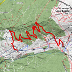
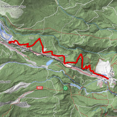
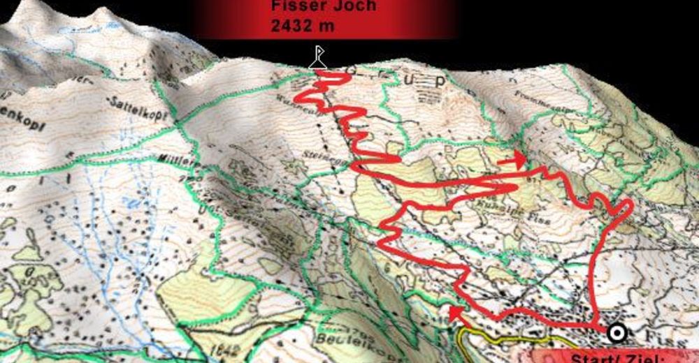
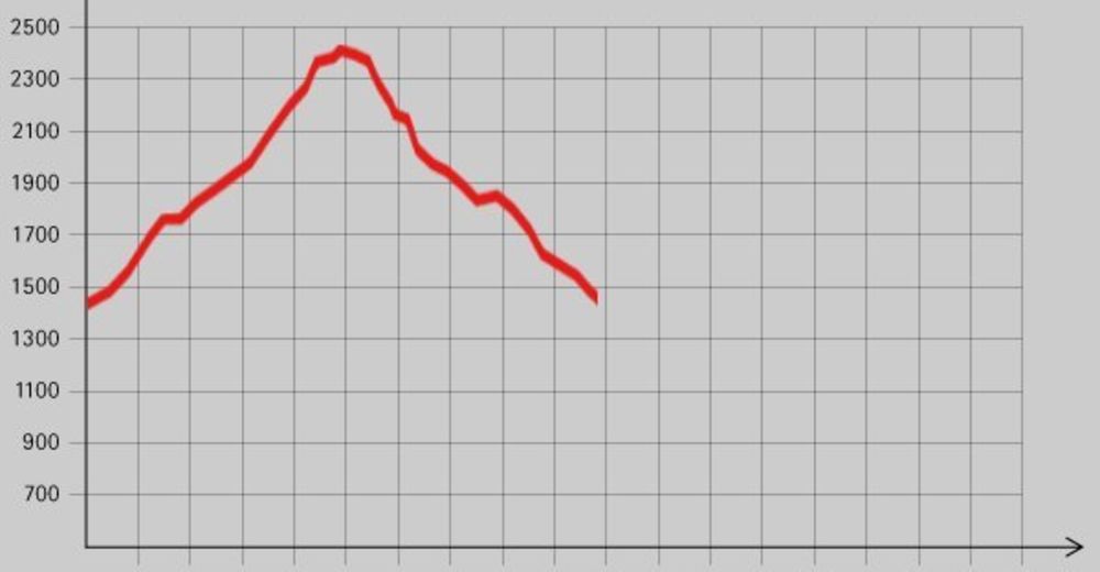
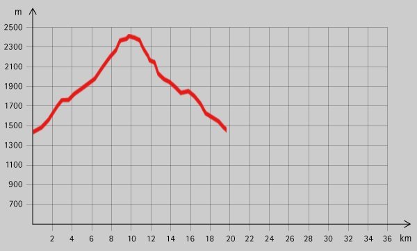
41,08km
1.442
- 2.428m
2.062hm
2.078hm
02:30h
- Breve descripción
-
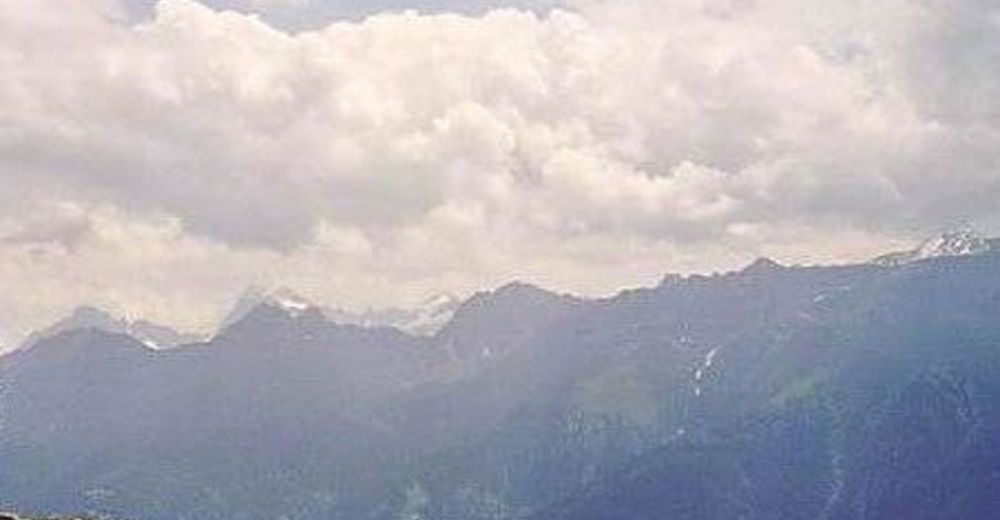
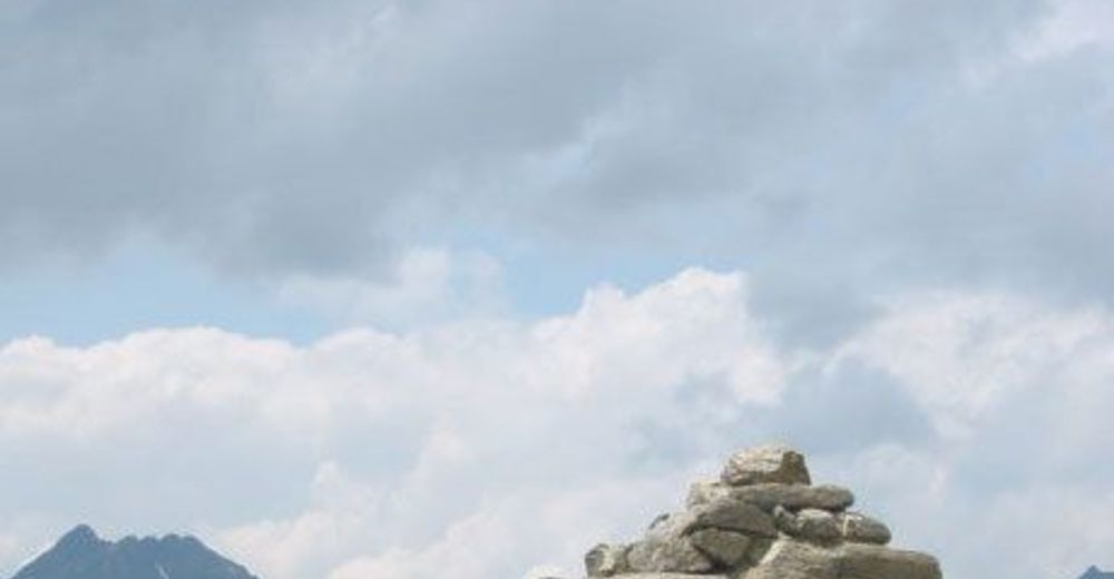
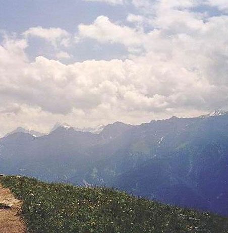
Sehr anstrengende Tour für echte „Beißer“. Die Aussicht in der oberen Streckenhälfte entschädigt für so manche Mühen!
- Dificultad
-
medio
- Valoración
-
- Punto de salida
-
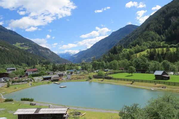
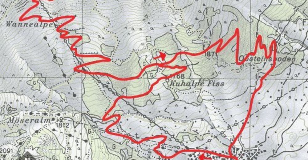
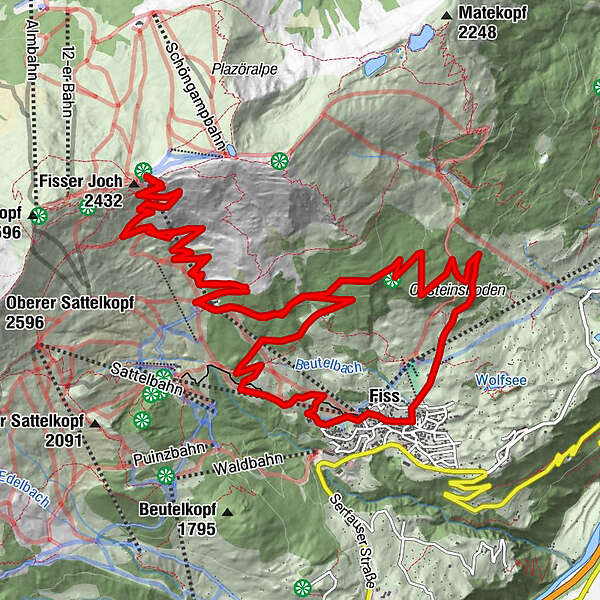
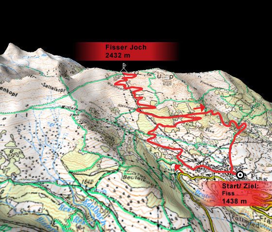
Fiss (1438 m)
- Ruta
-
Fiss (1.438 m)0,3 kmKuhalm3,6 kmSteinegg5,1 kmBergDiamant10,0 kmWonnealm12,1 kmSteinegg14,9 kmFiss (1.438 m)20,7 kmSonnenbahn Ladis-Fiss (1.477 m)20,9 kmKuhalm24,1 kmSteinegg25,7 kmBergDiamant30,5 kmWonnealm32,6 kmSteinegg35,4 kmFiss (1.438 m)40,8 km
- La mejor temporada
-
enefebmarabrmayjunjulagosepoctnovdic
- Punto álgido
- 2.428 m
- Descanso/Avituallamiento
-
Jausenstation Kuhalm, Bergrestaurant Schönjöchl;
- Material cartográfico

GPS Downloads


Calzadas
Asfalto
Gravilla
Bosque
Caminos de montaña
Rutas individuales
Trial
Tráfico
Más circuitos por las regiones
-
Serfaus - Fiss - Ladis
227
-
Fiss
72